Hollow Wood

Wood, Forest in Lancashire South Lakeland

England

Hollow Wood

Remains of wooden ballast bin Only a few rotten pieces of wood remain from this ballast bin beside the former Furness Railway Coniston Branch near Moss Side.  Built from old wooden railway sleepers it is difficult to place an age on this ballast bin, but it is possible it pre-dates the formation of the London Midland and Scottish Railway in 1923 who later introduced concrete bins (see photograph <a href="https://www.geograph.org.uk/photo/6797992">NY2924 : LMS Standard Concrete Ballast Bin</a>).
Positioned approximately every mile, more frequently on curved track, ballast bins were used to store small stone chippings which were used by the railway Lengthsmen to pack and adjust the railway sleepers. Using only a jack and a shovel, an experienced Lengthsman could judge exactly the right quantity of chippings to use to obtain a perfect ‘top’ to the rail and they often took great pride in the quality of their work.
The Coniston Branch closed to passengers in October 1958 and to all traffic with effect from the 30 April 1962 although the last train had run during the preceding week.  The track bed in front of the ballast bin is deep in mud and trampled by cows.
Remains of wooden ballast bin Credit: Adrian Taylor

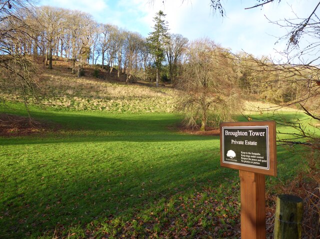
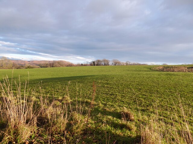
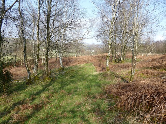
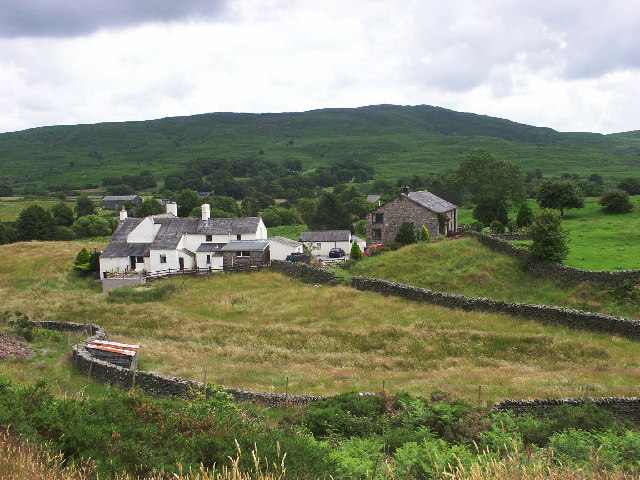
Hollow Wood is a picturesque forest located in the county of Lancashire, England. Situated in the rural village of Wood, this enchanting woodland area spans over several acres and is renowned for its natural beauty and diverse ecosystem.

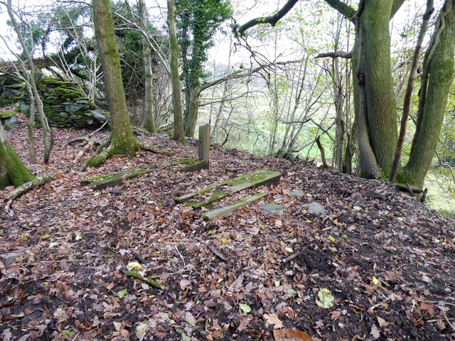
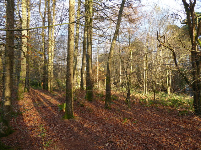
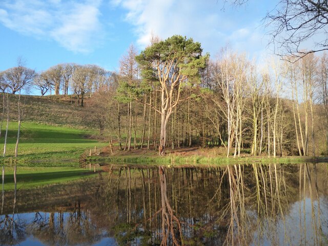
The forest is characterized by its dense canopy of trees, predominantly consisting of oak, beech, and birch. These towering trees provide a sense of tranquility and shade, making it an ideal destination for nature enthusiasts and hikers alike. The forest floor is covered with a lush carpet of moss, ferns, and wildflowers, adding to the magical ambiance of the woodland.

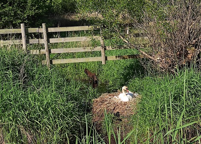
Hollow Wood is home to a rich array of wildlife, including several species of birds, mammals, and insects. Birdwatchers can spot various woodland birds, such as woodpeckers, owls, and thrushes, while lucky visitors may even catch a glimpse of a red squirrel or a roe deer roaming within the forest. The woodland's diverse ecosystem also supports a wide range of insect life, including butterflies, beetles, and dragonflies.

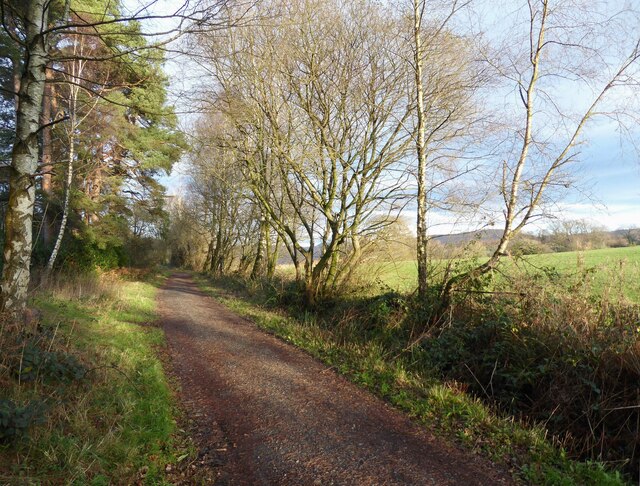
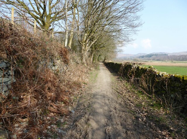
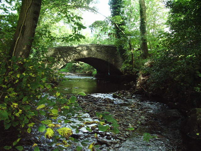
Visitors to Hollow Wood can enjoy a network of well-maintained walking trails that meander through the forest. These trails offer stunning views of the surrounding countryside and provide an opportunity to immerse oneself in nature's beauty. Additionally, the forest has designated picnic areas, making it an excellent spot for a leisurely outdoor lunch or a peaceful family gathering.

With its serene atmosphere and breathtaking scenery, Hollow Wood is a true gem in the heart of Lancashire. Whether it's a leisurely walk, birdwatching, or simply seeking solace in nature, this enchanting woodland has something to offer for everyone.

If you have any feedback on the listing, please let us know in the comments section below.
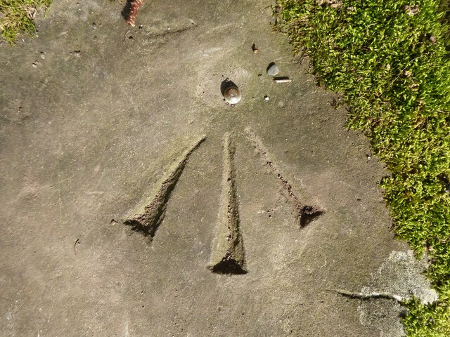
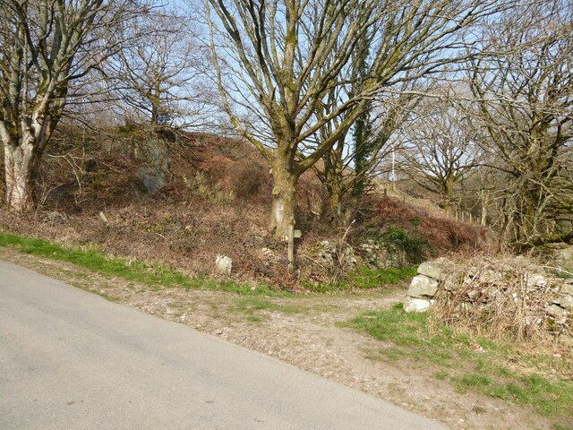
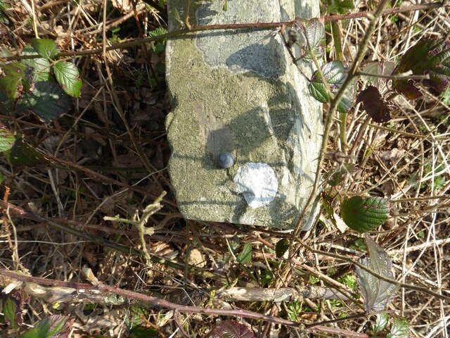
Hollow Wood Images

Images are sourced within 2km of 54.297596/-3.1895959 or Grid Reference SD2289. Thanks to Geograph Open Source API. All images are credited.

Remains of wooden ballast bin Only a few rotten pieces of wood remain from this ballast bin beside the former Furness Railway Coniston Branch near Moss Side.  Built from old wooden railway sleepers it is difficult to place an age on this ballast bin, but it is possible it pre-dates the formation of the London Midland and Scottish Railway in 1923 who later introduced concrete bins (see photograph <a href="https://www.geograph.org.uk/photo/6797992">NY2924 : LMS Standard Concrete Ballast Bin</a>).
Positioned approximately every mile, more frequently on curved track, ballast bins were used to store small stone chippings which were used by the railway Lengthsmen to pack and adjust the railway sleepers. Using only a jack and a shovel, an experienced Lengthsman could judge exactly the right quantity of chippings to use to obtain a perfect ‘top’ to the rail and they often took great pride in the quality of their work.
The Coniston Branch closed to passengers in October 1958 and to all traffic with effect from the 30 April 1962 although the last train had run during the preceding week.  The track bed in front of the ballast bin is deep in mud and trampled by cows.
Remains of wooden ballast bin
Only a few rotten pieces of wood remain from this ballast bin beside the former Furness Railway Coniston Branch near Moss Side. Built from old wooden railway sleepers it is difficult to place an age on this ballast bin, but it is possible it pre-dates the formation of the London Midland and Scottish Railway in 1923 who later introduced concrete bins (see photograph NY2924 : LMS Standard Concrete Ballast Bin). Positioned approximately every mile, more frequently on curved track, ballast bins were used to store small stone chippings which were used by the railway Lengthsmen to pack and adjust the railway sleepers. Using only a jack and a shovel, an experienced Lengthsman could judge exactly the right quantity of chippings to use to obtain a perfect ‘top’ to the rail and they often took great pride in the quality of their work. The Coniston Branch closed to passengers in October 1958 and to all traffic with effect from the 30 April 1962 although the last train had run during the preceding week. The track bed in front of the ballast bin is deep in mud and trampled by cows.
Woodland in East Park This woodland is in the grounds of the Broughton Tower Estate.
An ornamental lake can be glimpsed through the trees in the right background.
Woodland in East Park
This woodland is in the grounds of the Broughton Tower Estate. An ornamental lake can be glimpsed through the trees in the right background.
Ornamental lake, East Park This is the southernmost of two ornamental lakes in the East Park of the Broughton Tower Estate.  Although on private land the public has access from the public bridleway on the track bed of the former railway from Foxfield to Coniston which is adjacent.  There is also a public footpath crossing the narrow isthmus between the two lakes.
Ornamental lake, East Park
This is the southernmost of two ornamental lakes in the East Park of the Broughton Tower Estate. Although on private land the public has access from the public bridleway on the track bed of the former railway from Foxfield to Coniston which is adjacent. There is also a public footpath crossing the narrow isthmus between the two lakes.
The Coniston Branch near Wall End Now only used by walkers and cyclists, this is the route of the former Furness Railway branch line from Foxfield to Coniston.
The last passenger service ran on 4 October 1958 with a final enthusiats’ special train on the 27 August 1961. The last freight train ran during the week ending 29 April 1962 and the track was lifted early in 1963.
The Coniston Branch near Wall End
Now only used by walkers and cyclists, this is the route of the former Furness Railway branch line from Foxfield to Coniston. The last passenger service ran on 4 October 1958 with a final enthusiats’ special train on the 27 August 1961. The last freight train ran during the week ending 29 April 1962 and the track was lifted early in 1963.
Broughton Tower Estate
Field near Wall End The broken ground to the right of the photograph is described on old Ordnance Survey maps as a marl pit.
The fell in the background, left of centre, is Great Burney, 298m (979ft).
Field near Wall End
The broken ground to the right of the photograph is described on old Ordnance Survey maps as a marl pit. The fell in the background, left of centre, is Great Burney, 298m (979ft).
Ordnance Survey Rivet This OS rivet can be found on the stile SE side of the road. It marks a point 15.027m above mean sea level.
Ordnance Survey Rivet
This OS rivet can be found on the stile SE side of the road. It marks a point 15.027m above mean sea level.
Ordnance Survey Rivet This OS rivet can be found on the wall east side of the road. It marks a point 9.422m above mean sea level.
Ordnance Survey Rivet
This OS rivet can be found on the wall east side of the road. It marks a point 9.422m above mean sea level.
Kirkby Pool
Kirkby Pool
Lane near Brookside The lane is a public footpath leading to Buttstead Wood.
Lane near Brookside
The lane is a public footpath leading to Buttstead Wood.
Stile beside Buttstead Wood The public footpath from The Hill to Woodland crosses this stile adjacent to Buttstead Wood.
There is an Ordnance Survey rivet benchmark with cut mark on the bottom stone step of the stile (detail photograph <a href="https://www.geograph.org.uk/photo/7259390">SD2389 : Benchmark, Buttstead Wood</a>).
Stile beside Buttstead Wood
The public footpath from The Hill to Woodland crosses this stile adjacent to Buttstead Wood. There is an Ordnance Survey rivet benchmark with cut mark on the bottom stone step of the stile (detail photograph SD2389 : Benchmark, Buttstead Wood).
Benchmark, Buttstead Wood Detail of the Ordnance Survey rivet benchmark with cut mark on the horizontal bottom step of a public footpath stile adjacent to Buttstead Wood.  The benchmark marks a height of 8.6076m above mean sea level (Ordnance Datum Newlyn) last verified in 1954 (location photograph <a href="https://www.geograph.org.uk/photo/7259381">SD2389 : Stile beside Buttstead Wood</a>).
Benchmark, Buttstead Wood
Detail of the Ordnance Survey rivet benchmark with cut mark on the horizontal bottom step of a public footpath stile adjacent to Buttstead Wood. The benchmark marks a height of 8.6076m above mean sea level (Ordnance Datum Newlyn) last verified in 1954 (location photograph SD2389 : Stile beside Buttstead Wood).
Lane entrance near Brookside Leading from the road near Brookside the lane leads to Buttstead Wood and carries a public footpath to Low Rosthwaite.
There is an Ordnance Survey rivet benchmark on the top of the low stone post partially hidden in the brambles to the left of the footpath signpost (photograph <a href="https://www.geograph.org.uk/photo/7260566">SD2389 : Rivet benchmark near Brookside</a>).
Lane entrance near Brookside
Leading from the road near Brookside the lane leads to Buttstead Wood and carries a public footpath to Low Rosthwaite. There is an Ordnance Survey rivet benchmark on the top of the low stone post partially hidden in the brambles to the left of the footpath signpost (photograph SD2389 : Rivet benchmark near Brookside).
Rivet benchmark near Brookside Detail of an Ordnance Survey rivet benchmark on the top of a low stone post near Brookside.  The benchmark marks a height of 11.0246m above mean sea level (Ordnance Datum Newlyn) last verified in 1972 (location photograph <a href="https://www.geograph.org.uk/photo/7260558">SD2389 : Lane entrance near Brookside</a>).
Rivet benchmark near Brookside
Detail of an Ordnance Survey rivet benchmark on the top of a low stone post near Brookside. The benchmark marks a height of 11.0246m above mean sea level (Ordnance Datum Newlyn) last verified in 1972 (location photograph SD2389 : Lane entrance near Brookside).
Woodland path near Latter Rigg
Swan on Nest by Galloper Pool On Thornthwaite Latter Rigg Moss.
Swan on Nest by Galloper Pool
On Thornthwaite Latter Rigg Moss.
Ringhouse Farm and Cottages, Lake District This is Ringhouse Farm and its associated cottages which are available for rent (google 'em for details). Ideally situated for access to the south lakes and beyond and plenty of walks from the farm if you don't feel like getting into the car.
Ringhouse Farm and Cottages, Lake District
This is Ringhouse Farm and its associated cottages which are available for rent (google 'em for details). Ideally situated for access to the south lakes and beyond and plenty of walks from the farm if you don't feel like getting into the car.
Road bridge Road bridge over the River Lickle near Hartley Ground
Road bridge
Road bridge over the River Lickle near Hartley Ground
Show me another place!

Hollow Wood is located at Grid Ref: SD2289 (Lat: 54.297596, Lng: -3.1895959)

Administrative County: Cumbria

District: South Lakeland

Police Authority: Cumbria

What 3 Words

///bungalows.guilty.plea. Near Millom, Cumbria

Related Wikis

Broughton West

Broughton West is a civil parish in the Westmorland and Furness district of Cumbria, England. In the 2001 census the parish had a population of 954, decreasing...

Broughton Mills

Broughton Mills is a village in Cumbria, England, located 3.5 kilometres from the larger town of Broughton-in-furness. The village consists of about 40...

Blacksmiths Arms, Broughton Mills

The Blacksmiths Arms is a Grade II listed public house at Broughton Mills, Cumbria, England.It is on the Campaign for Real Ale's National Inventory of...

Rosthwaite, Broughton West

Rosthwaite is a settlement in the Broughton West civil parish of Westmorland and Furness, Cumbria England. It is part of the Lake District, 3 miles (4...

Related Videos

Caw from The Hawk

Exploring some Outlying Wainwights from The Hawk.

The best ride I have had in the Lake District and a Perfect Pint Awaits!

I Ride through the best Lake District countryside that I have seen so far and I meet a Barmen called Zack in a country Inn with the ...

The glorious western Lake District from above on a perfect evening.

Shot on Insta360 Sphere strapped to a DJI Air2 s The zoom towards the end is towards Scafell Pike, Englands highest hill.

The Old School House Caravans | Broughton in Furness | Caravan and Motorhome Club Certified Location

A lovely CL on the edge of the English Lake District, where you'll only ever find max 4 units at a time. With plenty of walking ...

Nearby Amenities

Located within 500m of 54.297596,-3.1895959
Barrier: stile
Lat/Long: 54.2994788/-3.1863908
Barrier: stile
Lat/Long: 54.2936608/-3.1902682
Barrier: stile
Lat/Long: 54.2950204/-3.1887373
Barrier: stile
Lat/Long: 54.2957535/-3.1886451
Wallenrigg
Place: farm
Lat/Long: 54.2994799/-3.1875736
Barrier: stile
Lat/Long: 54.2961097/-3.1874167
Power: pole
Lat/Long: 54.2944589/-3.1943537
Power: pole
Lat/Long: 54.2944646/-3.1930104
Power: pole
Lat/Long: 54.2944646/-3.1917685
Power: pole
Lat/Long: 54.2944665/-3.1903752
Power: pole
Lat/Long: 54.2944627/-3.189238
Power: pole
Lat/Long: 54.2944627/-3.1880589
Power: pole
Lat/Long: 54.2944636/-3.1871665
Power: pole
Lat/Long: 54.2949938/-3.1861695
Power: pole
Lat/Long: 54.2955898/-3.1849888
Power: pole
Lat/Long: 54.2960063/-3.1842027
Power: pole
Lat/Long: 54.2966361/-3.182964
Power: pole
Lat/Long: 54.2963353/-3.1854269
Power: pole
Lat/Long: 54.296701/-3.1856234
Power: pole
Lat/Long: 54.2976288/-3.1861437
Power: pole
Lat/Long: 54.2984992/-3.186614
Power: pole
Lat/Long: 54.2994392/-3.1874999
Power: pole
Lat/Long: 54.2941929/-3.18649
Power: pole
Lat/Long: 54.2940265/-3.1857603
Power: pole
Lat/Long: 54.2958333/-3.1966281
Power: pole
Lat/Long: 54.296685/-3.1966008
Power: pole
Lat/Long: 54.2975949/-3.1966008
Power: pole
Lat/Long: 54.2987201/-3.1968488
The data included in this document is from www.openstreetmap.org. The data is made available under ODbL.

Have you been to Hollow Wood?

Leave your review of Hollow Wood below (or comments, questions and feedback).