Well Coppice
Wood, Forest in Lancashire South Lakeland
England
Well Coppice
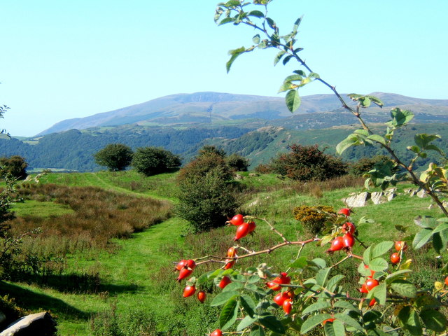
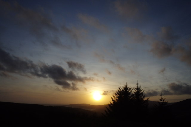
Well Coppice is a stunning woodland located in the county of Lancashire, England. With its lush greenery, diverse wildlife, and tranquil atmosphere, it is a popular destination for nature enthusiasts and those seeking a peaceful retreat.
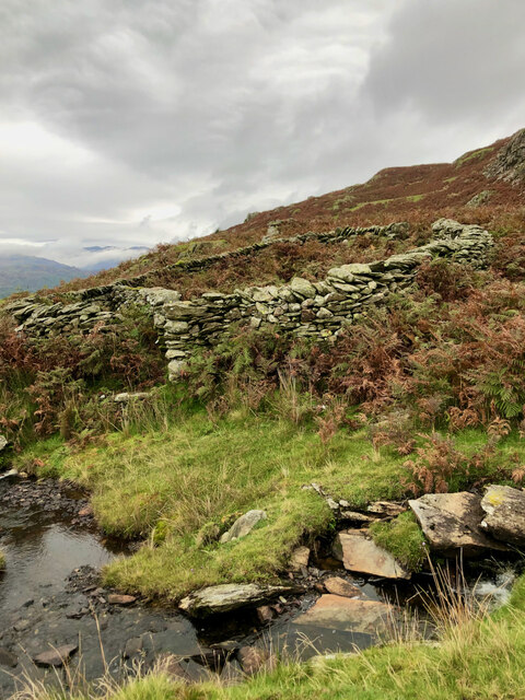
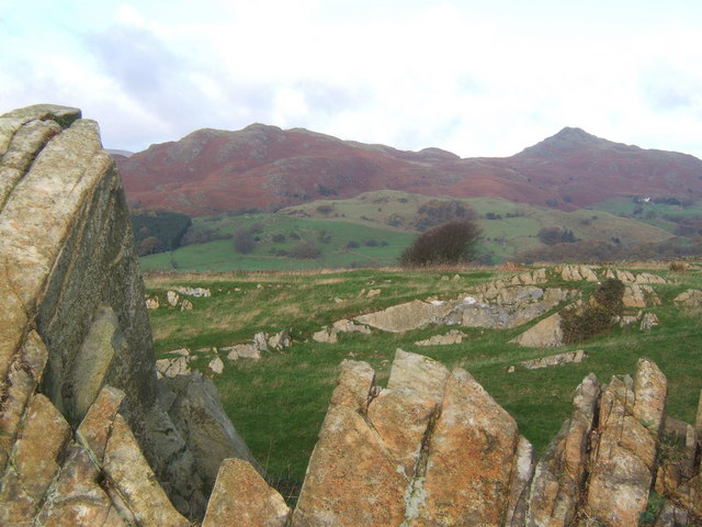
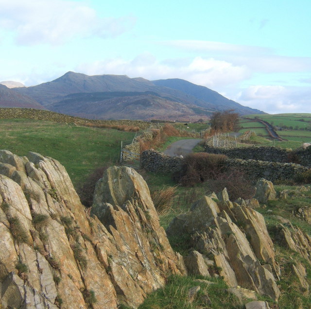
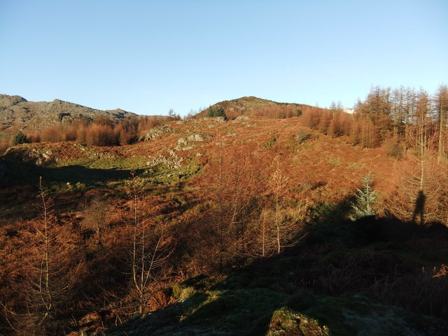
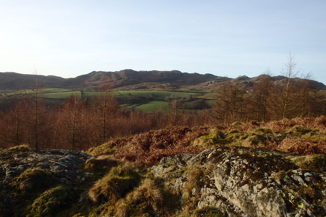
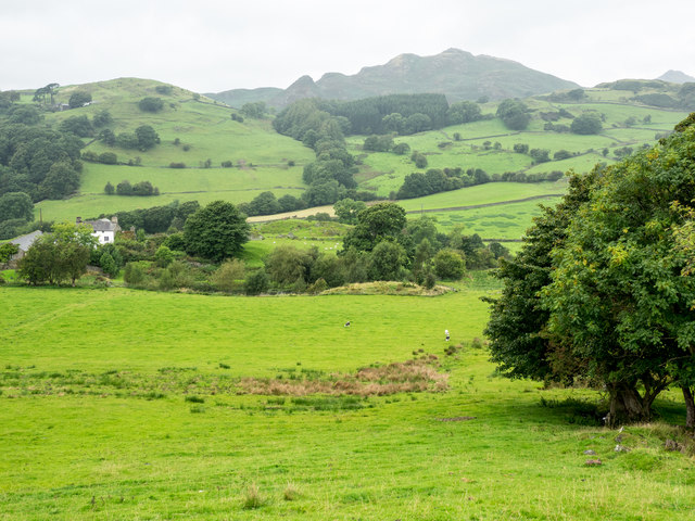
Covering an area of approximately 100 acres, Well Coppice is characterized by its dense canopy of trees, including oak, beech, and ash, which create a haven for various species of birds, mammals, and insects. The woodland floor is adorned with a vibrant carpet of wildflowers, adding a burst of color to the surroundings.
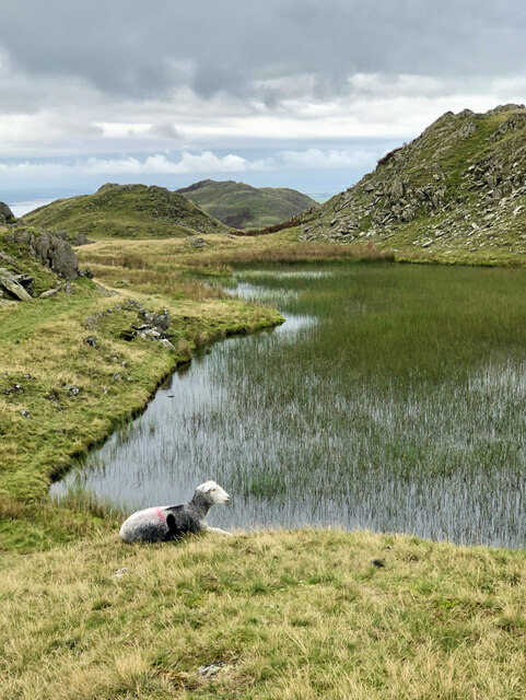
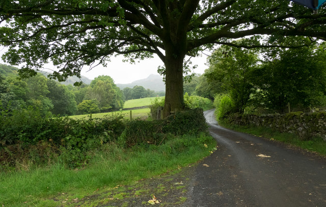
Several walking trails wind their way through the coppice, offering visitors the chance to explore its natural beauty at their own pace. The paths are well-maintained and are suitable for all ages and abilities, making it an ideal destination for families and individuals alike. Along the trails, visitors may encounter a variety of wildlife, such as squirrels, deer, and a wide array of bird species.
Well Coppice is managed by a dedicated team of conservationists who work tirelessly to preserve its natural ecosystem. They conduct regular surveys to monitor the health of the woodland and implement sustainable practices to ensure its longevity.
In addition to its ecological importance, Well Coppice also serves as a recreational area for the local community. Picnic spots and benches are scattered throughout the woodland, providing a picturesque setting for outdoor gatherings and relaxation.
Overall, Well Coppice is a haven of tranquility, offering visitors the chance to immerse themselves in the beauty of nature while providing vital habitat for a diverse range of flora and fauna.
If you have any feedback on the listing, please let us know in the comments section below.
Well Coppice Images
Images are sourced within 2km of 54.316224/-3.1981888 or Grid Reference SD2291. Thanks to Geograph Open Source API. All images are credited.
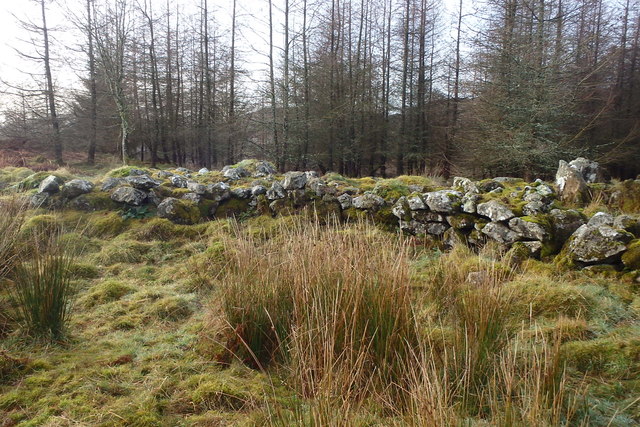
![Stainton Ground Slate Quarry For further info.: ‘Stainton Ground Slate Quarry’. Heritagegateway.org.uk &lt;<span class="nowrap"><a title="https://www.heritagegateway.org.uk/Gateway/Results_Single.aspx?resourceID=801&amp;uid=2888871" rel="nofollow ugc noopener" href="https://www.heritagegateway.org.uk/Gateway/Results_Single.aspx?resourceID=801&amp;uid=2888871">Link</a><img style="margin-left:2px;" alt="External link" title="External link - shift click to open in new window" src="https://s1.geograph.org.uk/img/external.png" width="10" height="10"/></span> &gt; [accessed 18 October 2023]](https://s2.geograph.org.uk/geophotos/07/62/80/7628062_135b0b8c.jpg)
Well Coppice is located at Grid Ref: SD2291 (Lat: 54.316224, Lng: -3.1981888)
Administrative County: Cumbria
District: South Lakeland
Police Authority: Cumbria
What 3 Words
///tangling.receive.mulls. Near Millom, Cumbria
Nearby Locations
Related Wikis

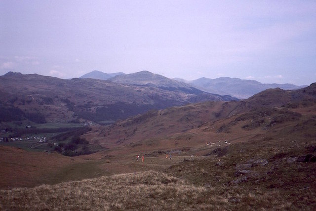
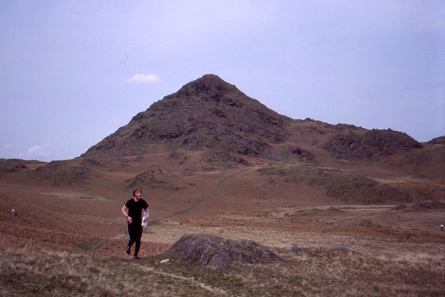
Great Stickle
Great Stickle is a fell located in the southern Lake District of England with an altitude of 305 m (1,001 ft). Alfred Wainwright included it in the Stickle...

Blacksmiths Arms, Broughton Mills
The Blacksmiths Arms is a Grade II listed public house at Broughton Mills, Cumbria, England.It is on the Campaign for Real Ale's National Inventory of...

Dunnerdale Fells
Dunnerdale Fells is an upland area in the English Lake District, between Ulpha and Broughton Mills, Cumbria. It is the subject of a chapter of Wainwright...
Broughton Mills
Broughton Mills is a village in Cumbria, England, located 3.5 kilometres from the larger town of Broughton-in-furness. The village consists of about 40...
Nearby Amenities
Located within 500m of 54.316224,-3.1981888Have you been to Well Coppice?
Leave your review of Well Coppice below (or comments, questions and feedback).