Cross Hawes Wood

Wood, Forest in Lancashire South Lakeland

England

Cross Hawes Wood

A forest of stakes, no saplings, no tree guards, just stakes
A forest of stakes, no saplings, no tree guards, just stakes Credit: Mick Garratt

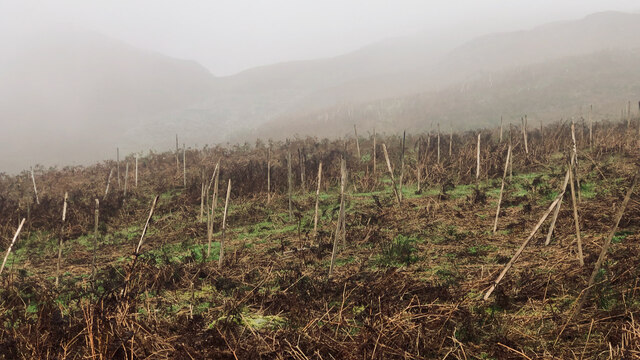
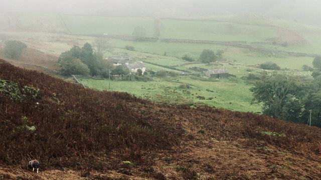
Cross Hawes Wood is a picturesque forest located in Lancashire, England. Covering an area of approximately 200 acres, this woodland is known for its diverse range of flora and fauna, making it a popular destination for nature enthusiasts and hikers alike.

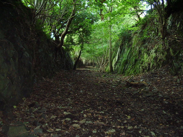
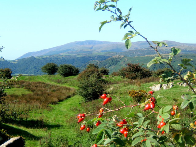
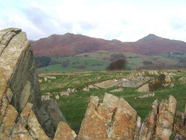
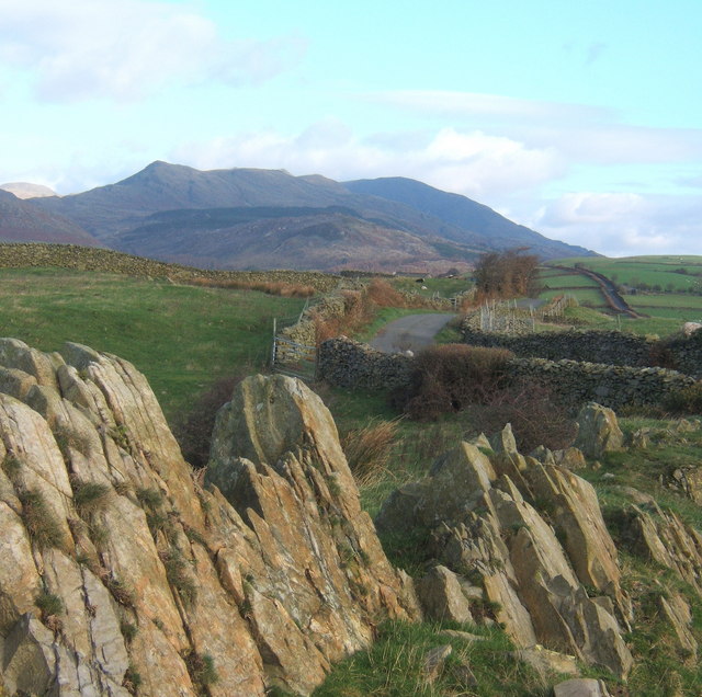
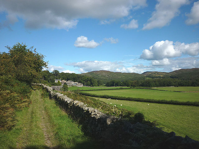
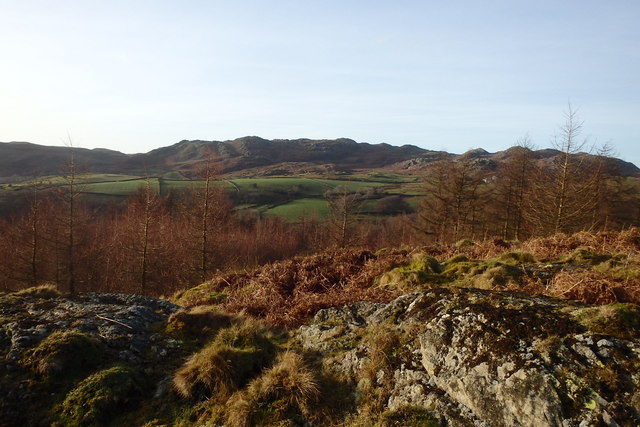
The forest is primarily composed of broadleaf trees such as oak, beech, and ash, providing a lush and vibrant canopy overhead. Visitors can explore the network of walking trails that wind through the woods, offering stunning views of the surrounding countryside and opportunities to spot wildlife such as deer, squirrels, and various bird species.

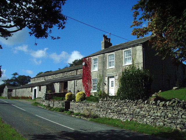
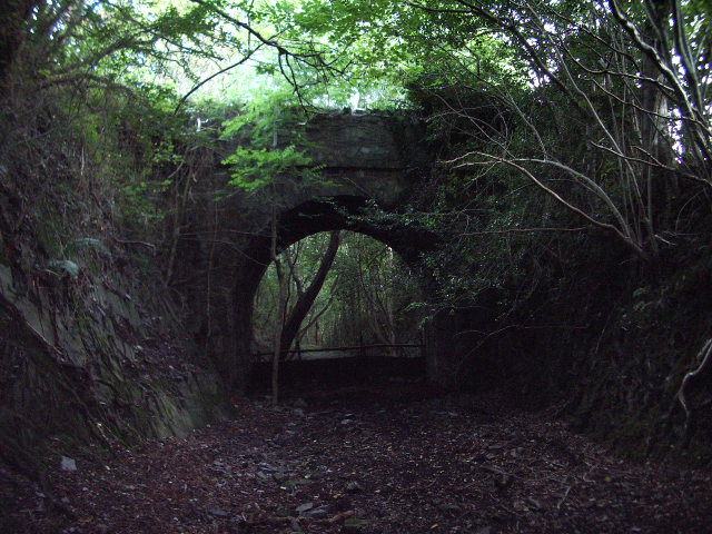
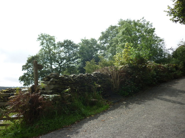
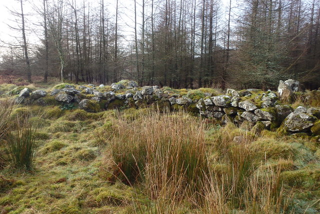
Cross Hawes Wood is also home to a variety of plant species, including bluebells, wild garlic, and ferns, which carpet the forest floor in a stunning display of color and texture. In addition to its natural beauty, the woodland also holds historical significance, with remnants of ancient stone walls and structures scattered throughout the area.

Overall, Cross Hawes Wood offers a peaceful and tranquil escape from the hustle and bustle of everyday life, providing a perfect setting for relaxation, exploration, and appreciation of the natural world.

If you have any feedback on the listing, please let us know in the comments section below.

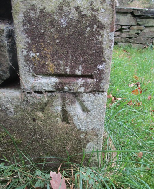
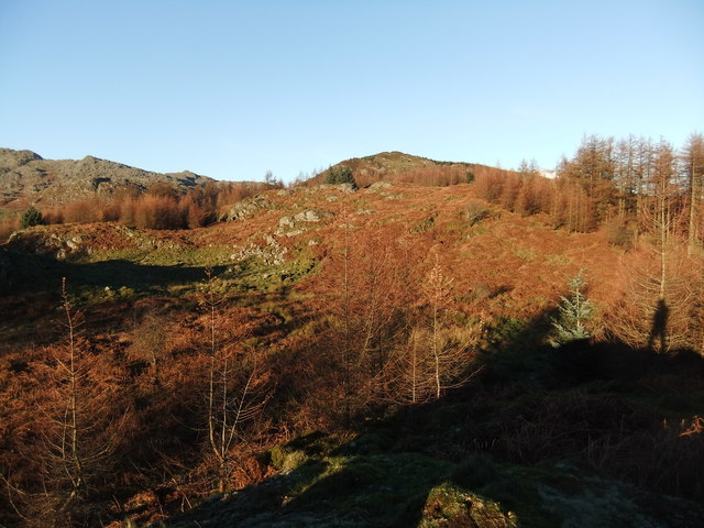
Cross Hawes Wood Images

Images are sourced within 2km of 54.312398/-3.1878709 or Grid Reference SD2291. Thanks to Geograph Open Source API. All images are credited.

A forest of stakes, no saplings, no tree guards, just stakes
Carter Ground
Carter Ground
High Aulthwaite Side
Road bridge This bridge spans the old Broughton-in-Furness to Coniston Railway about 2 miles NE of Broughton
Road bridge
This bridge spans the old Broughton-in-Furness to Coniston Railway about 2 miles NE of Broughton
Dismantled railway Looking SE towards Broughton-in-Furness along the old Broughton-in-Furness to Coniston Railway
Dismantled railway
Looking SE towards Broughton-in-Furness along the old Broughton-in-Furness to Coniston Railway
View from a lane above Hawthwaite Black Combe in the distance.
View from a lane above Hawthwaite
Black Combe in the distance.
Rocky outcrop on ridge near Broughton Mills Looking to the Dunnerdale Fells, with Stickle Pike to the right.
Rocky outcrop on ridge near Broughton Mills
Looking to the Dunnerdale Fells, with Stickle Pike to the right.
Rocky outcrop, looking along the ridge lane Coniston Fells in the distance.
Rocky outcrop, looking along the ridge lane
Coniston Fells in the distance.
Lane above Hawthwaite This lane provides an alternative route between Broughton and Torver, running mostly near the crest of a rising ridge of high ground.
Lane above Hawthwaite
This lane provides an alternative route between Broughton and Torver, running mostly near the crest of a rising ridge of high ground.
Start of footpath to Lane End
A path leading to Buttstead Wood
Footpath to Broughton Mills A path with some fine views over the beautiful valley of the River Lickle
Footpath to Broughton Mills
A path with some fine views over the beautiful valley of the River Lickle
Footpath near Low Rosthwaite, Woodland Valley The footpath runs alongside the low-lying pastures on the flat valley floor. Ahead are the houses at Low Rosthwaite backed by the low, bracken-clad fells that encircle the upper valley.
Footpath near Low Rosthwaite, Woodland Valley
The footpath runs alongside the low-lying pastures on the flat valley floor. Ahead are the houses at Low Rosthwaite backed by the low, bracken-clad fells that encircle the upper valley.
Ordnance Survey Cut Mark This OS cut mark can be found on the north face of Holy Innocents Church. It marks a point 45.245m above mean sea level.
Ordnance Survey Cut Mark
This OS cut mark can be found on the north face of Holy Innocents Church. It marks a point 45.245m above mean sea level.
Looking north from The Hawk
Green Man A Sculpture in the forest
Green Man
A Sculpture in the forest
Settlement on The Hawk Ancient walls under the summit
Settlement on The Hawk
Ancient walls under the summit
On The Hawk On the top looking towards the Dunnerdale Fells
On The Hawk
On the top looking towards the Dunnerdale Fells
Show me another place!

Cross Hawes Wood is located at Grid Ref: SD2291 (Lat: 54.312398, Lng: -3.1878709)

Administrative County: Cumbria

District: South Lakeland

Police Authority: Cumbria

What 3 Words

///presses.swinging.inflation. Near Millom, Cumbria

Related Wikis

Blacksmiths Arms, Broughton Mills

The Blacksmiths Arms is a Grade II listed public house at Broughton Mills, Cumbria, England.It is on the Campaign for Real Ale's National Inventory of...

Broughton West

Broughton West is a civil parish in the Westmorland and Furness district of Cumbria, England. In the 2001 census the parish had a population of 954, decreasing...

Broughton Mills

Broughton Mills is a village in Cumbria, England, located 3.5 kilometres from the larger town of Broughton-in-furness. The village consists of about 40...

Great Stickle

Great Stickle is a fell located in the southern Lake District of England with an altitude of 305 m (1,001 ft). Alfred Wainwright included it in the Stickle...

Nearby Amenities

Located within 500m of 54.312398,-3.1878709
Barrier: stile
Lat/Long: 54.3110008/-3.1852637
Power: pole
Lat/Long: 54.310084/-3.1940789
Power: pole
Lat/Long: 54.3109952/-3.1939559
Power: pole
Lat/Long: 54.3127128/-3.1931261
Power: pole
Lat/Long: 54.3133313/-3.1943854
Power: pole
Lat/Long: 54.3134205/-3.1924197
Power: pole
Lat/Long: 54.3139941/-3.1918473
Power: pole
Lat/Long: 54.3148962/-3.1909491
Power: pole
Lat/Long: 54.3154793/-3.1908007
Power: pole
Lat/Long: 54.3162219/-3.1905333
Power: pole
Lat/Long: 54.3132834/-3.191859
Power: pole
Lat/Long: 54.3105612/-3.1848975
Power: pole
Lat/Long: 54.3099142/-3.1860612
Power: pole
Lat/Long: 54.3092969/-3.1871428
Power: pole
Lat/Long: 54.3085269/-3.188451
The data included in this document is from www.openstreetmap.org. The data is made available under ODbL.

Have you been to Cross Hawes Wood?

Leave your review of Cross Hawes Wood below (or comments, questions and feedback).