Long Bank Wood

Wood, Forest in Lancashire Barrow-in-Furness

England

Long Bank Wood

Quarry  Dalton in Furness Disused Quarry
Quarry Dalton in Furness Credit: Michael Graham

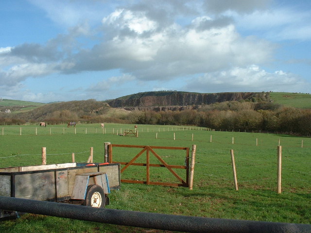
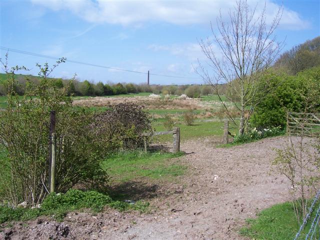
Long Bank Wood is a picturesque woodland located in Lancashire, England. Situated in the heart of the Lancashire countryside, this woodland is known for its stunning natural beauty and diverse wildlife. Covering an area of approximately 50 acres, Long Bank Wood is a popular destination for nature enthusiasts and hikers alike.

The woodland is characterized by its dense canopy of trees, creating a peaceful and tranquil atmosphere. The dominant tree species found here include oak, beech, and birch, which provide a rich habitat for a variety of woodland creatures. Visitors to Long Bank Wood can expect to encounter a range of wildlife, such as deer, foxes, squirrels, and a myriad of bird species.

A network of well-maintained footpaths and trails wind through the woodland, allowing visitors to explore the area at their own pace. These paths lead to various points of interest, including a small stream that meanders through the heart of the wood, adding to its charm and natural appeal.

Long Bank Wood offers a wonderful opportunity for outdoor activities such as walking, jogging, and birdwatching. The tranquil setting also makes it an ideal spot for a picnic or a peaceful escape from the hustle and bustle of daily life. The wood is accessible throughout the year, with each season bringing its own unique beauty, from the vibrant colors of autumn to the fresh greenery of spring.

Overall, Long Bank Wood is a hidden gem in Lancashire, offering visitors a chance to connect with nature and enjoy the tranquility of the countryside. It is a place where one can escape the noise of the modern world and immerse themselves in the beauty of the natural environment.

If you have any feedback on the listing, please let us know in the comments section below.

Long Bank Wood Images

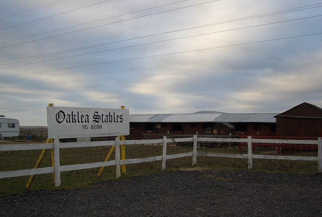
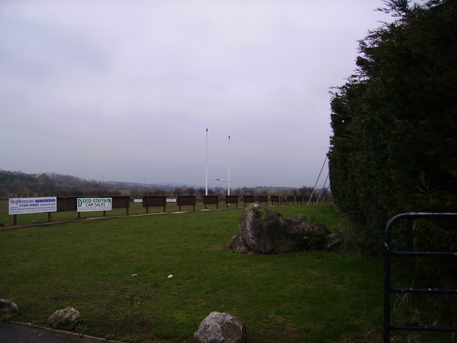
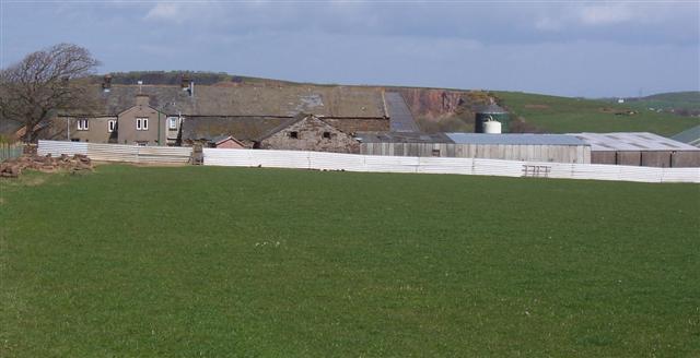
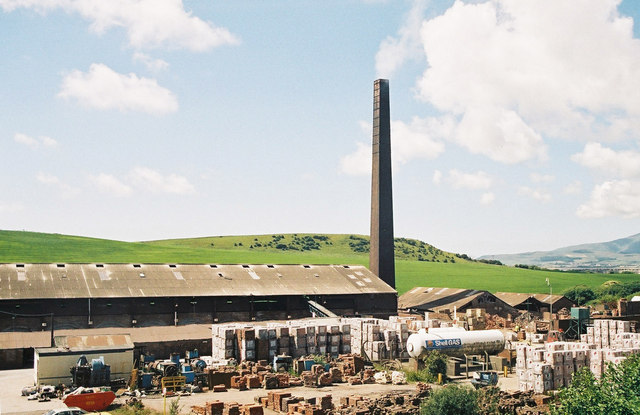
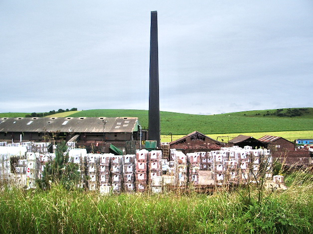
Images are sourced within 2km of 54.160396/-3.1940795 or Grid Reference SD2274. Thanks to Geograph Open Source API. All images are credited.

Quarry  Dalton in Furness Disused Quarry
Quarry Dalton in Furness
Disused Quarry
Dalton War Memorial This picture was taken from the roadside near to Dalton Police Station
Dalton War Memorial
This picture was taken from the roadside near to Dalton Police Station
Dalton Cemetery Taken from the Gates of Cemetery.
Dalton Cemetery
Taken from the Gates of Cemetery.
Dalton in Furness Methodist Church
Level Crossing at Thwaite Flat The roadbridge over the railway line is the A590 Dalton-in-Furness bypass which opened in about 1993
Level Crossing at Thwaite Flat
The roadbridge over the railway line is the A590 Dalton-in-Furness bypass which opened in about 1993
Oaklea Stables On the road to Roanhead
Oaklea Stables
On the road to Roanhead
Looking Towards the Brick Works From the main road into Askham. Fells in view across Duddon Sands
Looking Towards the Brick Works
From the main road into Askham. Fells in view across Duddon Sands
Black Dog Inn The plough must have been moving at quite a speed to get up onto the roof. Near Dalton
Black Dog Inn
The plough must have been moving at quite a speed to get up onto the roof. Near Dalton
Old Barn Near Tytup Farm
Old Barn
Near Tytup Farm
Dalton Amateur Rugby League Club In Dalton
Dalton Amateur Rugby League Club
In Dalton
Sinkhall Farm With the recently reworked quarry just showing at the right of the farmhouse.
Sinkhall Farm
With the recently reworked quarry just showing at the right of the farmhouse.
The old iron works The chimney in the centre belongs to a brick factory.
The old iron works
The chimney in the centre belongs to a brick factory.
Furness Brick Company, Askam-in-Furness This is probably the last remaining coal-fired traditional brickworks in the UK. It produces a range of handcrafted bricks particularly aimed at the conservation market. This type of kiln is known as a Hoffmann kiln; it consists of a number of chambers which are used in turn through the firing cycle, giving efficient use of the heat produced.
Furness Brick Company, Askam-in-Furness
This is probably the last remaining coal-fired traditional brickworks in the UK. It produces a range of handcrafted bricks particularly aimed at the conservation market. This type of kiln is known as a Hoffmann kiln; it consists of a number of chambers which are used in turn through the firing cycle, giving efficient use of the heat produced.
Rhino at the Wild Animal Park, Dalton-in-Furness
Dalton-in-Furness: the castle
Furness United Reformed Church, Dalton-in-Furness
Furness Brick Company, Askam-in-Furness Est. 1845 this family run brick manufacturer produces bricks to order if required in size and colour <span class="nowrap"><a title="http://furnessbrick.co.uk" rel="nofollow ugc noopener" href="http://furnessbrick.co.uk">Link</a><img style="margin-left:2px;" alt="External link" title="External link - shift click to open in new window" src="https://s1.geograph.org.uk/img/external.png" width="10" height="10"/></span>
Furness Brick Company, Askam-in-Furness
Est. 1845 this family run brick manufacturer produces bricks to order if required in size and colour LinkExternal link
Furness Brick Company, Askam-in-Furness
Show me another place!

Long Bank Wood is located at Grid Ref: SD2274 (Lat: 54.160396, Lng: -3.1940795)

Administrative County: Cumbria

District: Barrow-in-Furness

Police Authority: Cumbria

What 3 Words

///vesting.checked.door. Near Dalton in Furness, Cumbria

Related Wikis

Dowdales School

Dowdales School which was founded 1928, is a community, comprehensive school in Dalton-in-Furness, Cumbria for anyone, in the age range 11–16. There are...

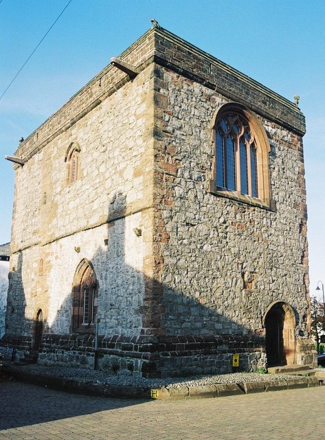
Dalton Castle, Cumbria

Dalton Castle is a grade I listed 14th-century peel tower situated in Dalton-in-Furness, Cumbria, England, and in the ownership of the National Trust....

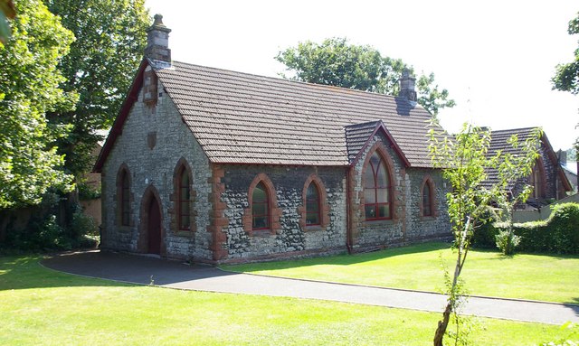
St Mary's Church, Dalton-in-Furness

St Mary's Church is in the town of Dalton-in-Furness, Cumbria, England. It is an active Anglican parish church in the deanery of Furness, the archdeaconry...

Dalton Town Hall

Dalton Town Hall is a municipal building in Station Road, Dalton-in-Furness, a town in Cumbria, England. The building, which accommodates the offices and...

Nearby Amenities

Located within 500m of 54.160396,-3.1940795
Railway: switch
Lat/Long: 54.1594465/-3.2011333
Bus Stop
Romney Park / St Helens (N bound)
Local Ref: AT
Naptan AtcoCode: 090010030591
Naptan Bearing: N
Naptan CommonName: Romney Park / St Helens (N bound)
Naptan Indicator: at
Naptan Landmark: junction with St Helen's
Naptan NaptanCode: cumamgda
Naptan Street: Romney Park
Naptan Verified: no
Source: naptan_import
Lat/Long: 54.160329/-3.1898122
Bus Stop
Romney Park / St Helens (S bound)
Local Ref: AT
Naptan AtcoCode: 090010030593
Naptan Bearing: S
Naptan CommonName: Romney Park / St Helens (S bound)
Naptan Indicator: at
Naptan Landmark: junction to St Helens
Naptan NaptanCode: cumamgdg
Naptan Street: Romney Park
Naptan Verified: no
Source: naptan_import
Lat/Long: 54.1599013/-3.1894324
Barrier: cattle_grid
Lat/Long: 54.1624122/-3.200373
Power: tower
Lat/Long: 54.1626523/-3.1951407
Power: tower
Lat/Long: 54.1618922/-3.1980858
Power: tower
Lat/Long: 54.163673/-3.1908384
Railway: level_crossing
Lat/Long: 54.1609386/-3.2012494
Railway: level_crossing
Lat/Long: 54.1609115/-3.2012678
Railway: switch
Lat/Long: 54.1596207/-3.2011526
Railway: switch
Lat/Long: 54.1600759/-3.2011562
Milestone
Lat/Long: 54.1637173/-3.1891983
Barrier: bollard
Lat/Long: 54.1633726/-3.1884956
Barrier: bollard
Lat/Long: 54.1635048/-3.1894312
Post Box
Collection Times: Mo-Fr 16:30; Sa 10:45
Drive Through: no
Post Box Type: lamp
Ref: LA15 131
Lat/Long: 54.1595851/-3.1891547
Communication: pole
Lat/Long: 54.159685/-3.1892077
Street Lamp
Lat/Long: 54.1597021/-3.1894376
Park South Junction
Railway: junction
Lat/Long: 54.1591024/-3.2011098
Generator Method: photovoltaic
Generator Output Electricity: yes
Generator Source: solar
Generator Type: solar_photovoltaic_panel
Location: roof
Power: generator
Lat/Long: 54.1585494/-3.1876278
Generator Method: photovoltaic
Generator Output Electricity: yes
Generator Source: solar
Generator Type: solar_photovoltaic_panel
Location: roof
Power: generator
Lat/Long: 54.1583861/-3.1880489
Generator Method: photovoltaic
Generator Output Electricity: yes
Generator Source: solar
Generator Type: solar_photovoltaic_panel
Location: roof
Power: generator
Lat/Long: 54.1584072/-3.1879323
Generator Method: photovoltaic
Generator Output Electricity: yes
Generator Source: solar
Generator Type: solar_photovoltaic_panel
Location: roof
Power: generator
Lat/Long: 54.1598977/-3.1898031
Generator Method: photovoltaic
Generator Output Electricity: yes
Generator Source: solar
Generator Type: solar_photovoltaic_panel
Location: roof
Power: generator
Lat/Long: 54.1598836/-3.1898541
Traffic Sign: directions
Lat/Long: 54.1634995/-3.1922018
Traffic Sign: directions
Lat/Long: 54.1632055/-3.1945228
Traffic Sign: directions
Lat/Long: 54.1629108/-3.1884943
Barrier: lift_gate
Crossing Activation: automatic
Crossing Light: yes
Lat/Long: 54.1608729/-3.2013855
Barrier: lift_gate
Crossing Activation: automatic
Crossing Light: yes
Lat/Long: 54.1610103/-3.2011116
Man Made: flagpole
Lat/Long: 54.1631394/-3.188241
Man Made: flagpole
Lat/Long: 54.1631341/-3.1882938
Man Made: flagpole
Lat/Long: 54.1631623/-3.1882267
Power: pole
Lat/Long: 54.1603876/-3.2017369
Power: pole
Lat/Long: 54.1605433/-3.2009019
Power: pole
Lat/Long: 54.1631825/-3.1965572
Power: pole
Lat/Long: 54.1634879/-3.1955265
Power: pole
Lat/Long: 54.1637771/-3.194541
Power: pole
Lat/Long: 54.1641677/-3.1933022
Power: pole
Lat/Long: 54.1646052/-3.1918477
Power: pole
Lat/Long: 54.1636567/-3.1971515
Power: pole
Lat/Long: 54.164128/-3.1976606
The data included in this document is from www.openstreetmap.org. The data is made available under ODbL.

Have you been to Long Bank Wood?

Leave your review of Long Bank Wood below (or comments, questions and feedback).