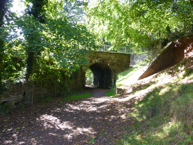
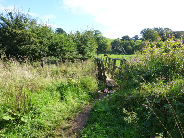
Hagg Gill Wood

Downs, Moorland in Lancashire Barrow-in-Furness

England

Hagg Gill Wood

Dalton Junction
Dalton Junction Credit: Peter McDermott

Hagg Gill Wood is a picturesque natural area located in Lancashire, England. Situated in the Downs and Moorland region, it covers a sprawling expanse of land that is renowned for its breathtaking beauty and diverse flora and fauna.

The wood is characterized by its dense canopy of ancient trees, including oak, beech, and ash, which provide a shady and tranquil environment for visitors. The forest floor is adorned with a vibrant carpet of bluebells and wildflowers during the spring, creating a stunning display of colors.

Numerous walking trails crisscross through the wood, allowing visitors to explore its hidden nooks and crannies. These paths offer a chance to witness the richness of wildlife in the area, with sightings of deer, badgers, and a variety of birds being common.

Hagg Gill, a small stream that meanders through the wood, adds to the charm of the area. Its crystal-clear waters are home to a range of aquatic species, and it serves as a watering hole for various animals, creating a lively ecosystem.

The wood is popular with nature enthusiasts, hikers, and photographers, who appreciate its untouched and unspoiled beauty. It provides an escape from the hustle and bustle of everyday life, offering a serene and peaceful sanctuary for visitors to connect with nature.

Overall, Hagg Gill Wood in Lancashire is a delightful destination for those seeking a tranquil retreat amidst the Downs and Moorland region. Its stunning landscapes, diverse wildlife, and serene ambiance make it a must-visit for nature lovers.

If you have any feedback on the listing, please let us know in the comments section below.

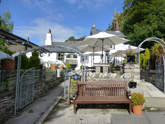
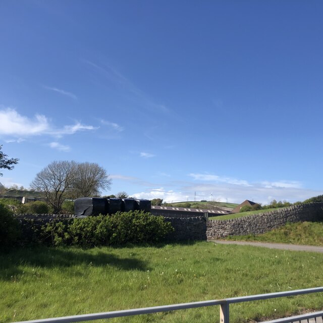
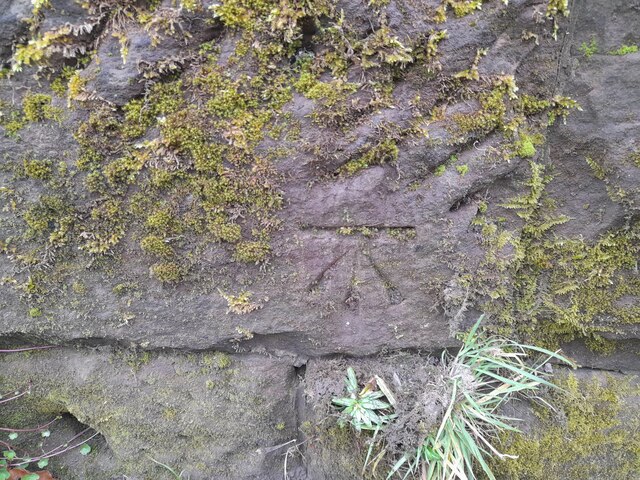
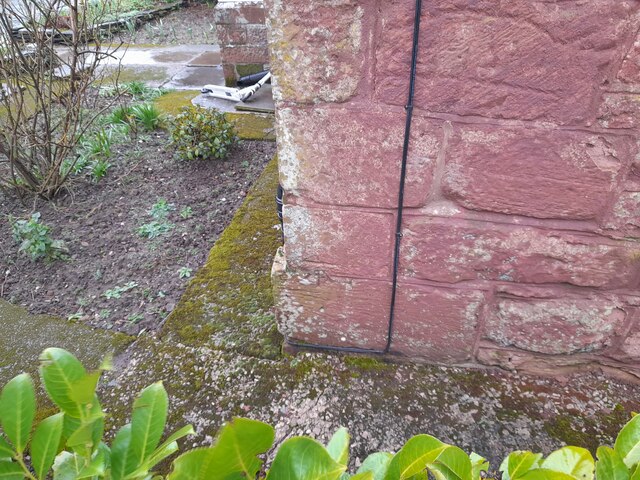
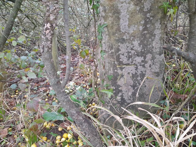
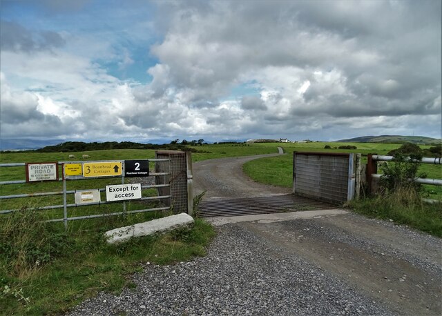
Hagg Gill Wood Images

Images are sourced within 2km of 54.160881/-3.1932512 or Grid Reference SD2274. Thanks to Geograph Open Source API. All images are credited.

Dalton Junction
Dalton Junction
Dalton-in-Furness Car show room on High Street in Dalton-on-Furness.
Dalton-in-Furness
Car show room on High Street in Dalton-on-Furness.
North Lodge
North Lodge
Market Street Market Street in Dalton-in-Furness.
Market Street
Market Street in Dalton-in-Furness.
Dalton Tunnel The south portal of Dalton Tunnel.
Dalton Tunnel
The south portal of Dalton Tunnel.
Dalton in Furness station
DaltonCastle
DaltonCastle
The Brown Cow Inn at Dalton
Railway Bridge near Dalton
Footbridge near Millwood Manor
Farm buildings near the A590
Ordnance Survey Cut Mark This OS cut mark can be found on the east parapet of the railway bridge on Oaklea Road. It marks a point 32.536m above mean sea level.
Ordnance Survey Cut Mark
This OS cut mark can be found on the east parapet of the railway bridge on Oaklea Road. It marks a point 32.536m above mean sea level.
Ordnance Survey Cut Mark This OS cut mark can be found on the Lodge on Oaklea Road. It marks a point 35.852m above mean sea level.
Ordnance Survey Cut Mark
This OS cut mark can be found on the Lodge on Oaklea Road. It marks a point 35.852m above mean sea level.
Ordnance Survey Cut Mark This OS cut mark can be found on the gatepost NE side of the road. It marks a point 20.534m above mean sea level.
Ordnance Survey Cut Mark
This OS cut mark can be found on the gatepost NE side of the road. It marks a point 20.534m above mean sea level.
Dalton Castle
Dalton Castle
Entrance to Roanhead Farm The farm now offers holiday cottage accommodation.
Entrance to Roanhead Farm
The farm now offers holiday cottage accommodation.
"The Red Lion" in Dalton On Market Street
"The Red Lion" in Dalton
On Market Street
Show me another place!

Hagg Gill Wood is located at Grid Ref: SD2274 (Lat: 54.160881, Lng: -3.1932512)

Administrative County: Cumbria

District: Barrow-in-Furness

Police Authority: Cumbria

What 3 Words

///case.squabbles.decisive. Near Dalton in Furness, Cumbria

Related Wikis

Dowdales School

Dowdales School which was founded 1928, is a community, comprehensive school in Dalton-in-Furness, Cumbria for anyone, in the age range 11–16. There are...

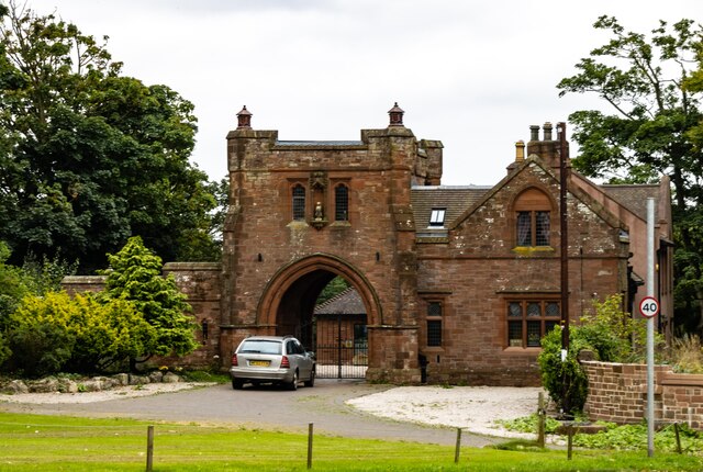
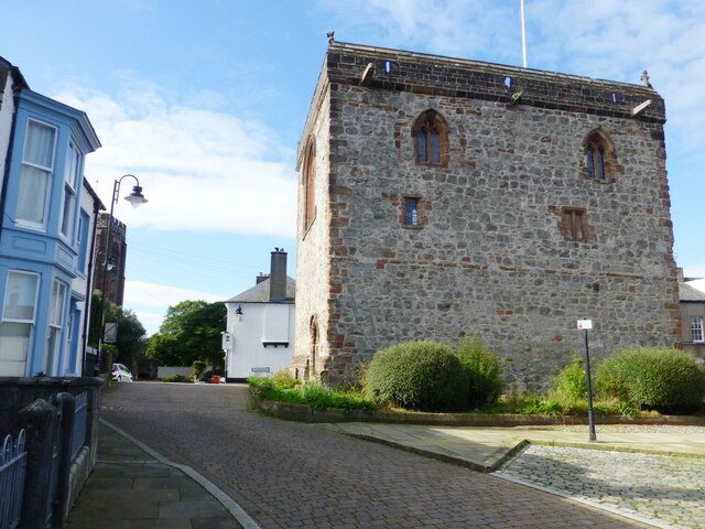
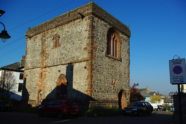
Dalton Castle, Cumbria

Dalton Castle is a grade I listed 14th-century peel tower situated in Dalton-in-Furness, Cumbria, England, and in the ownership of the National Trust....

St Mary's Church, Dalton-in-Furness

St Mary's Church is in the town of Dalton-in-Furness, Cumbria, England. It is an active Anglican parish church in the deanery of Furness, the archdeaconry...
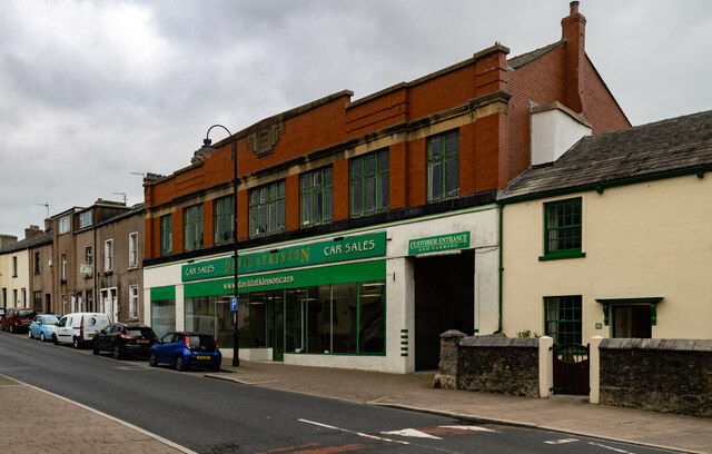
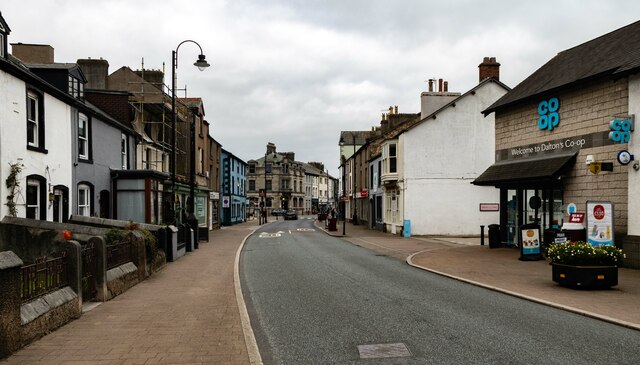
Dalton-in-Furness

Dalton-in-Furness is a town and former civil parish, now in the parish of Dalton Town with Newton, in the Westmorland and Furness district, in the ceremonial...

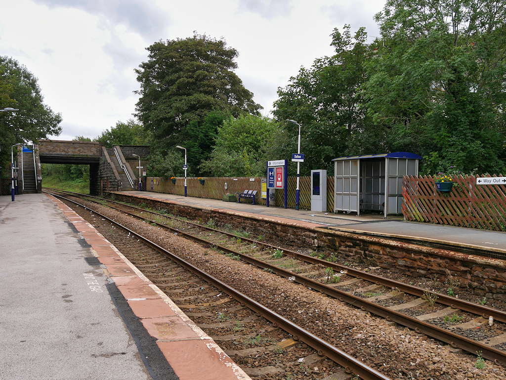
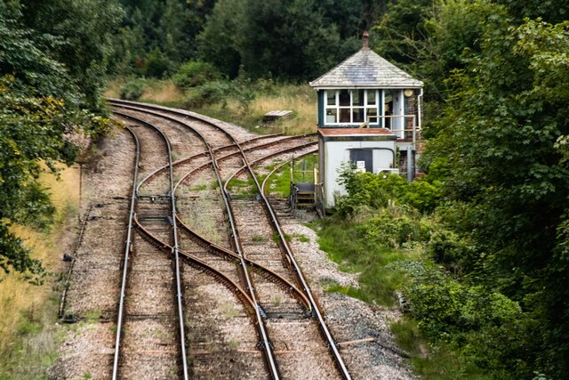
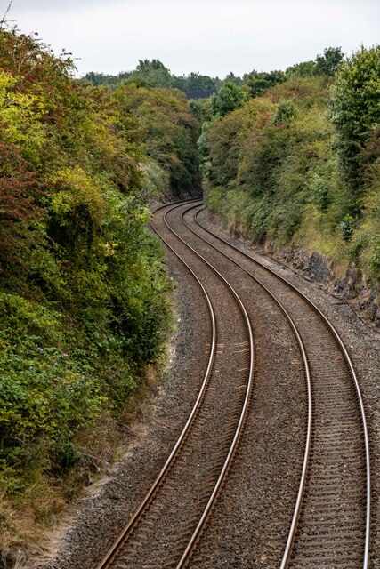
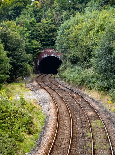
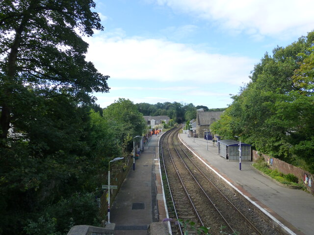
Dalton railway station

Dalton is a railway station on the Furness Line, which runs between Barrow-in-Furness and Lancaster. The station, situated 5 miles (8 km) north-east of...

Dalton South

Dalton South is a ward of the British town Dalton-in-Furness, within the Borough of Barrow-in-Furness. With 6,200 people residing in Dalton South in 2001...

South Lakes Safari Zoo

South Lakes Safari Zoo (formerly South Lakes Wild Animal Park) is a 51-acre (21 ha) zoo established in 1994 by David Gill, and located in Cumbria, England...

Dalton Town with Newton

Dalton Town with Newton is a civil parish in the Barrow-in-Furness district, in the county of Cumbria, England. The parish includes the town of Dalton...

Related Videos

SOUTH LAKES SAFARI ZOO | Walking tour | Informative for Kids 4K

South Lakes Safari Zoo is a 51-acre zoo established in 1994 by David Gill, and located in Cumbria, England. Its name refers to its ...

Wild Wonders at South Lake Safari Zoo | Cumbria Adventure

In this captivating 10-minute video, explore the wonders of South Lake Safari Zoo nestled in the picturesque landscapes of ...

Day Trip to South Lakes Safari Zoo

Day Trip to South Lakes Safari Zoo with friends. South Lakes Safari Zoo: Melton Ter, Lindal in Furness, Ulverston LA12 0LU ...

View from Dalton to Black Combe

Firework display Dalton in Furness with rubbish chit chat included.

Nearby Amenities

Located within 500m of 54.160881,-3.1932512
Bus Stop
Romney Park / St Helens (N bound)
Local Ref: AT
Naptan AtcoCode: 090010030591
Naptan Bearing: N
Naptan CommonName: Romney Park / St Helens (N bound)
Naptan Indicator: at
Naptan Landmark: junction with St Helen's
Naptan NaptanCode: cumamgda
Naptan Street: Romney Park
Naptan Verified: no
Source: naptan_import
Lat/Long: 54.160329/-3.1898122
Bus Stop
Romney Park / St Helens (S bound)
Local Ref: AT
Naptan AtcoCode: 090010030593
Naptan Bearing: S
Naptan CommonName: Romney Park / St Helens (S bound)
Naptan Indicator: at
Naptan Landmark: junction to St Helens
Naptan NaptanCode: cumamgdg
Naptan Street: Romney Park
Naptan Verified: no
Source: naptan_import
Lat/Long: 54.1599013/-3.1894324
Barrier: cattle_grid
Lat/Long: 54.1624122/-3.200373
Power: tower
Lat/Long: 54.1626523/-3.1951407
Power: tower
Lat/Long: 54.1618922/-3.1980858
Power: tower
Lat/Long: 54.163673/-3.1908384
Milestone
Lat/Long: 54.1637173/-3.1891983
Barrier: bollard
Lat/Long: 54.1640316/-3.1889229
Barrier: bollard
Lat/Long: 54.1637527/-3.1880168
Barrier: bollard
Lat/Long: 54.1633726/-3.1884956
Barrier: bollard
Lat/Long: 54.1635048/-3.1894312
Post Box
Collection Times: Mo-Fr 16:30; Sa 10:45
Drive Through: no
Post Box Type: lamp
Ref: LA15 131
Lat/Long: 54.1595851/-3.1891547
Communication: pole
Lat/Long: 54.159685/-3.1892077
Street Lamp
Lat/Long: 54.1597021/-3.1894376
Generator Method: photovoltaic
Generator Output Electricity: yes
Generator Source: solar
Generator Type: solar_photovoltaic_panel
Location: roof
Power: generator
Lat/Long: 54.1585494/-3.1876278
Generator Method: photovoltaic
Generator Output Electricity: yes
Generator Source: solar
Generator Type: solar_photovoltaic_panel
Location: roof
Power: generator
Lat/Long: 54.1583861/-3.1880489
Generator Method: photovoltaic
Generator Output Electricity: yes
Generator Source: solar
Generator Type: solar_photovoltaic_panel
Location: roof
Power: generator
Lat/Long: 54.1584072/-3.1879323
Generator Method: photovoltaic
Generator Output Electricity: yes
Generator Source: solar
Generator Type: solar_photovoltaic_panel
Location: roof
Power: generator
Lat/Long: 54.1598977/-3.1898031
Generator Method: photovoltaic
Generator Output Electricity: yes
Generator Source: solar
Generator Type: solar_photovoltaic_panel
Location: roof
Power: generator
Lat/Long: 54.1598836/-3.1898541
Traffic Sign: directions
Lat/Long: 54.1634995/-3.1922018
Traffic Sign: directions
Lat/Long: 54.1632055/-3.1945228
Traffic Sign: directions
Lat/Long: 54.1629108/-3.1884943
Man Made: flagpole
Lat/Long: 54.1631394/-3.188241
Man Made: flagpole
Lat/Long: 54.1631341/-3.1882938
Man Made: flagpole
Lat/Long: 54.1631623/-3.1882267
Power: pole
Lat/Long: 54.1605433/-3.2009019
Power: pole
Lat/Long: 54.1631825/-3.1965572
Power: pole
Lat/Long: 54.1634879/-3.1955265
Power: pole
Lat/Long: 54.1637771/-3.194541
Power: pole
Lat/Long: 54.1641677/-3.1933022
Power: pole
Lat/Long: 54.1646052/-3.1918477
Power: pole
Lat/Long: 54.1636567/-3.1971515
Power: pole
Lat/Long: 54.164128/-3.1976606
The data included in this document is from www.openstreetmap.org. The data is made available under ODbL.

Have you been to Hagg Gill Wood?

Leave your review of Hagg Gill Wood below (or comments, questions and feedback).