Woodram Copse
Wood, Forest in Somerset Somerset West and Taunton
England
Woodram Copse
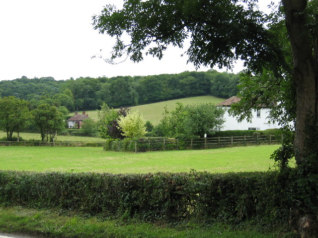
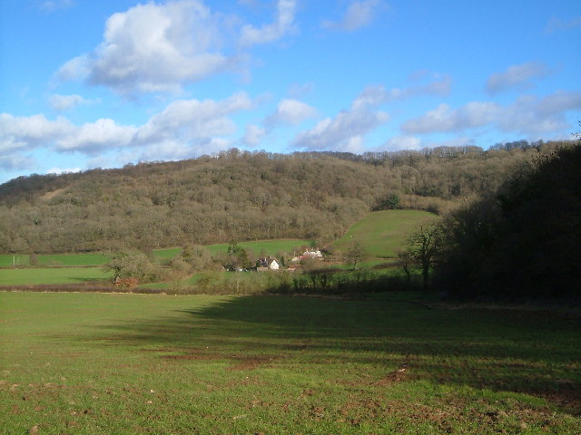
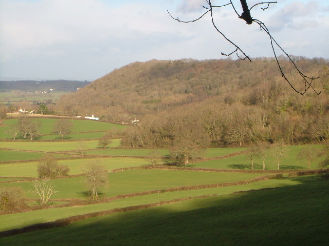
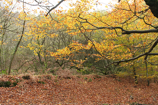
Woodram Copse is a picturesque woodland located in Somerset, England. Situated in the county's rolling countryside, this dense copse is a haven for wildlife and a popular destination for nature enthusiasts.
Covering an area of approximately 50 acres, Woodram Copse is characterized by its diverse range of tree species, including oak, beech, and ash. The forest floor boasts a rich carpet of bluebells in the spring, creating a stunning display of color. The dense foliage provides a sanctuary for a variety of bird species, such as woodpeckers, owls, and thrushes, making it a paradise for birdwatchers.
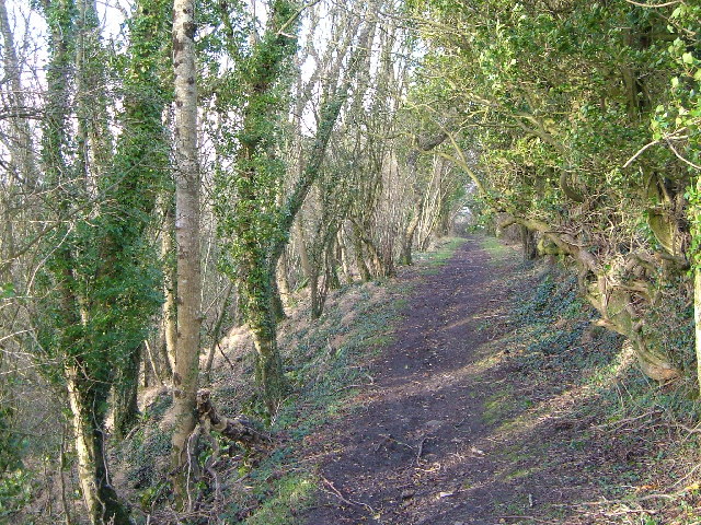
The copse is crisscrossed with a network of well-maintained walking trails, allowing visitors to explore its natural beauty at their own pace. These paths wind through the woodland, offering glimpses of babbling brooks, moss-covered rocks, and hidden glades. The peaceful ambiance of Woodram Copse provides an ideal setting for a leisurely stroll or a tranquil picnic.
In addition to its natural beauty, Woodram Copse also holds historical significance. The woodland is believed to have been in existence for centuries and may have been used as a hunting ground by the local nobility in medieval times. The ancient trees and undisturbed landscape give an air of timelessness to the copse, transporting visitors back in time.
Overall, Woodram Copse in Somerset is a breathtaking woodlandscape, offering a serene escape from the hustle and bustle of everyday life. Nature lovers and history enthusiasts alike will find solace and fascination in this enchanting forest.
If you have any feedback on the listing, please let us know in the comments section below.
Woodram Copse Images
Images are sourced within 2km of 50.959489/-3.1103855 or Grid Reference ST2218. Thanks to Geograph Open Source API. All images are credited.


Woodram Copse is located at Grid Ref: ST2218 (Lat: 50.959489, Lng: -3.1103855)
Administrative County: Somerset
District: Somerset West and Taunton
Police Authority: Avon and Somerset
What 3 Words
///scowls.quirky.stint. Near Taunton, Somerset
Nearby Locations
Related Wikis

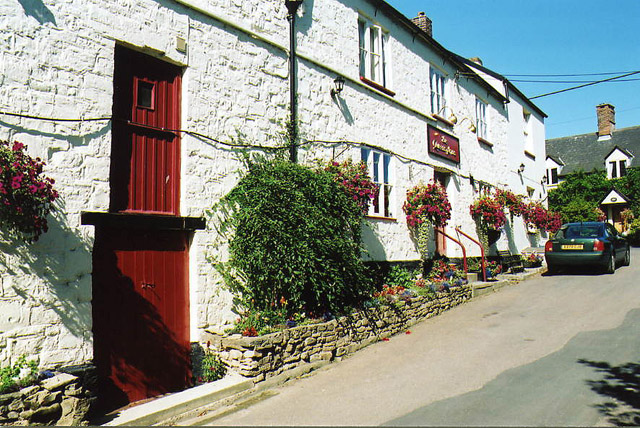
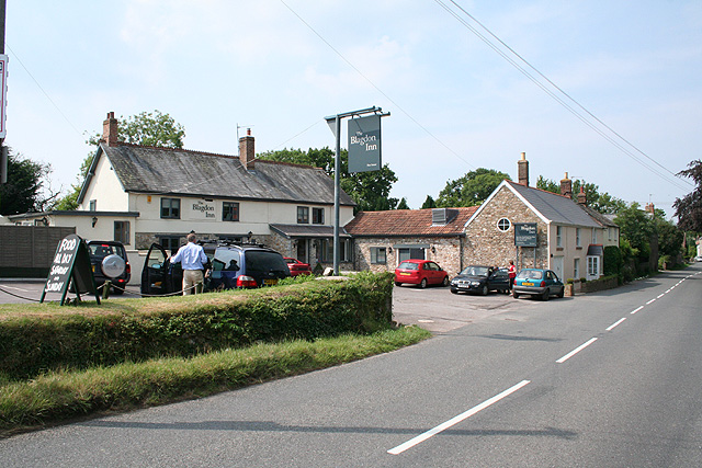
Pitminster
Pitminster is a village and civil parish in Somerset, England, situated 4 miles (6.4 km) south of Taunton. The parish has a population of 956. The parish...

Prior's Park & Adcombe Wood
Prior's Park & Adcombe Wood (grid reference ST225170) is a 103.6 hectare (256.0 acre) biological Site of Special Scientific Interest south of Pitminster...

Church of St Nicholas, Corfe
The Anglican Church of St Nicholas in Corfe, Somerset, England was built in the Norman period and rebuilt in 1842. It is a Grade II* listed building....

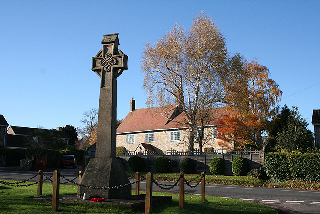
Corfe
Corfe is a village and civil parish in Somerset, England, situated below the Blackdown Hills 4 miles (6.4 km) south of Taunton. The village has a population...

Poundisford Park
Poundisford Park north of Pitminster, Somerset, England is an English country house that typifies progressive housebuilding on the part of the West Country...

Luxhay Reservoir
Luxhay Reservoir is an artificial reservoir near Angersleigh, Somerset, England. It is now owned by Wessex Water. It was built in 1905 by the town corporation...

Church of St Michael, Angersleigh
The Anglican Church of St Michael in Angersleigh, Somerset, England was built in the 14th century. It is a Grade II* listed building. == History == The...

Leigh Reservoir
Leigh Reservoir, or Leigh Hill Reservoir, is a small reservoir in Somerset, England. It was built in 1893 to supply water to the town of Taunton, Somerset...
Nearby Amenities
Located within 500m of 50.959489,-3.1103855Have you been to Woodram Copse?
Leave your review of Woodram Copse below (or comments, questions and feedback).