Woodram

Settlement in Somerset Somerset West and Taunton

England

Woodram

Pitminster: The Queen’s Arms This is one of the earliest recorded mill sites in Somerset. A mill was extant here in 1036 when owned by St Swithun’s Priory, Winchester. A flour mill in 1804, the premises were later converted to a public house. The section nearest the camera looks more like a mill than a pub.
Pitminster: The Queen’s Arms Credit: Martin Bodman

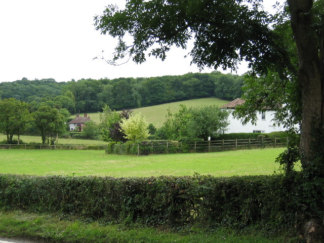
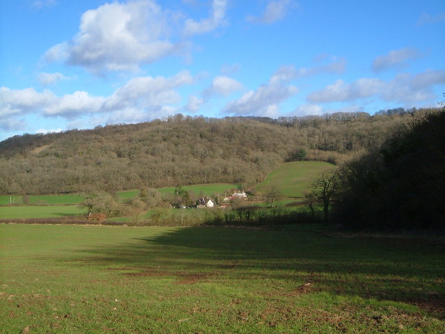
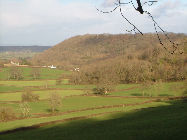
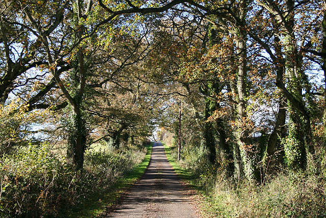
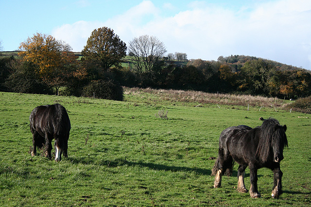
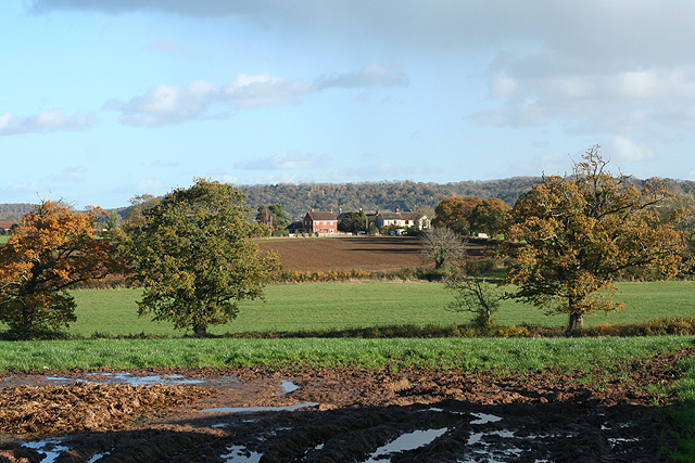
Woodram is a small village located in the county of Somerset, in the southwest of England. It is situated approximately 10 miles northeast of the town of Taunton and is part of the district of West Somerset. The village is set in a picturesque rural landscape, surrounded by rolling hills and lush green fields.

Woodram has a rich history, with evidence of human settlement dating back to prehistoric times. The village was mentioned in the Domesday Book of 1086, where it was recorded as "Wudram." Over the centuries, it has evolved from a primarily agricultural community to a peaceful residential area.

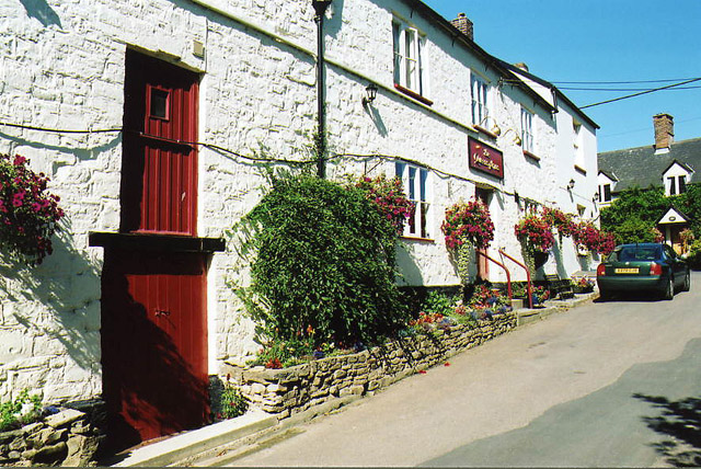
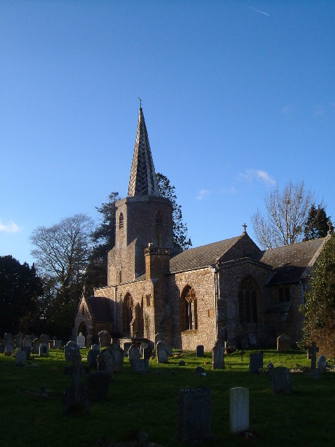
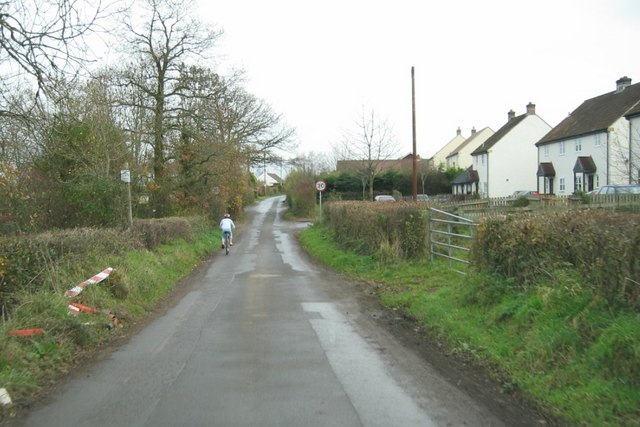
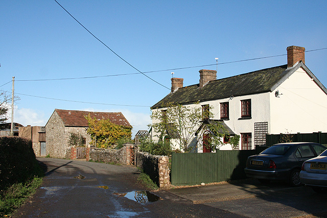
The village itself is characterized by traditional stone cottages and charming thatched roofs, giving it a quintessentially English countryside feel. It boasts a close-knit community, with a population of around 500 residents. The village center features a small church, dedicated to Saint Mary, which dates back to the 12th century.

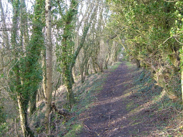
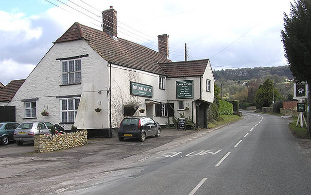
Despite its small size, Woodram offers a range of amenities for its residents. These include a local pub, a village hall, and a primary school catering to the educational needs of the younger population. The surrounding countryside provides ample opportunities for outdoor activities such as walking, cycling, and horse riding, making it a desirable location for nature enthusiasts.

Overall, Woodram, Somerset, with its idyllic setting, historical significance, and strong community spirit, is a charming village that offers a peaceful and picturesque lifestyle for its residents.

If you have any feedback on the listing, please let us know in the comments section below.
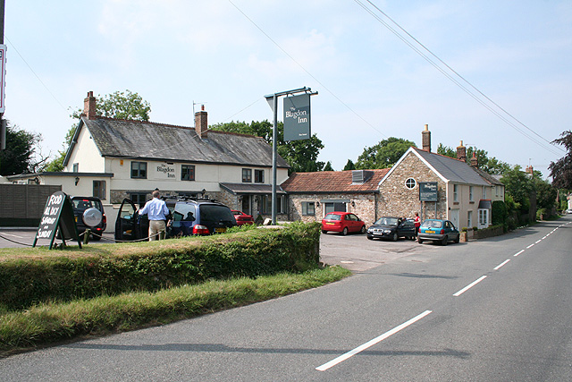
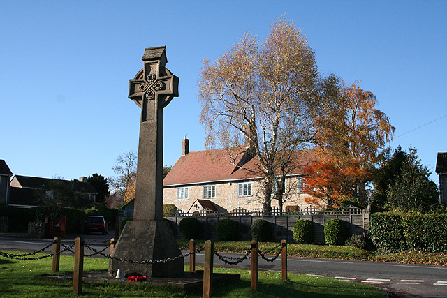
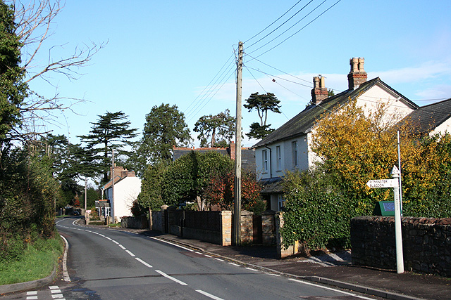
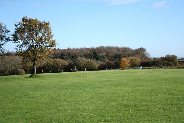
Woodram Images

Images are sourced within 2km of 50.96382/-3.1041376 or Grid Reference ST2218. Thanks to Geograph Open Source API. All images are credited.

Pitminster: The Queen’s Arms This is one of the earliest recorded mill sites in Somerset. A mill was extant here in 1036 when owned by St Swithun’s Priory, Winchester. A flour mill in 1804, the premises were later converted to a public house. The section nearest the camera looks more like a mill than a pub.
Pitminster: The Queen’s Arms
This is one of the earliest recorded mill sites in Somerset. A mill was extant here in 1036 when owned by St Swithun’s Priory, Winchester. A flour mill in 1804, the premises were later converted to a public house. The section nearest the camera looks more like a mill than a pub.
Corfe Farmland Residential housing dotted on farmland on the outskirts of Corfe, Somerset.
Corfe Farmland
Residential housing dotted on farmland on the outskirts of Corfe, Somerset.
Curdleigh & Adcombe Hill View, east-by-north across a small valley in the steep northern slopes of the Blackdown Hills
Curdleigh & Adcombe Hill
View, east-by-north across a small valley in the steep northern slopes of the Blackdown Hills
Adcombe Wood A bridlepath on the brink of the Blackdown Hills, with the gentle slopes of Adcombe Hill behind the trees on the right, while on the left Adcombe Wood plunges down the scarp into a side valley. View looking roughly north-west, probably from ST 224 178
Adcombe Wood
A bridlepath on the brink of the Blackdown Hills, with the gentle slopes of Adcombe Hill behind the trees on the right, while on the left Adcombe Wood plunges down the scarp into a side valley. View looking roughly north-west, probably from ST 224 178
Murlinch Wood, Woodram Looking northeast along the wooded scarp of the Blackdown Hills, with the fields around Woodram below, and the houses of Corfe village under Pickeridge Hill beyond. Taken from where Woodram Lane, here byway T 21/84, emerges from the woods. See also <a href="https://www.geograph.org.uk/photo/1609699">ST2218 : Fields southwest of Corfe</a>.
Murlinch Wood, Woodram
Looking northeast along the wooded scarp of the Blackdown Hills, with the fields around Woodram below, and the houses of Corfe village under Pickeridge Hill beyond. Taken from where Woodram Lane, here byway T 21/84, emerges from the woods. See also ST2218 : Fields southwest of Corfe.
Pitminster church Church of St Andrew and St Mary, Pitminster from south-east; unusual for the area in having a spire. Full details at <span class="nowrap"><a title="http://digbig.com/4gjyy" rel="nofollow ugc noopener" href="http://digbig.com/4gjyy">Link</a><img style="margin-left:2px;" alt="External link" title="External link - shift click to open in new window" src="https://s1.geograph.org.uk/img/external.png" width="10" height="10"/></span>
Pitminster church
Church of St Andrew and St Mary, Pitminster from south-east; unusual for the area in having a spire. Full details at LinkExternal link
The Lamb and Flag, Blagdon Hill
Blagdon Hill Entering the village from the Howleigh road.
Blagdon Hill
Entering the village from the Howleigh road.
Pitminster: The Blagdon Inn At Blagdon Hill. Looking north-north-west on the road to Taunton.
Pitminster: The Blagdon Inn
At Blagdon Hill. Looking north-north-west on the road to Taunton.
Pitminster: on Adcombe Hill Looking east-south-east towards Hurley’s Farm on a sultry July afternoon
Pitminster: on Adcombe Hill
Looking east-south-east towards Hurley’s Farm on a sultry July afternoon
Pitminster: footpath at Feltham The path leads to Hurley’s Farm and Old Combe Hill. Looking north-north-east
Pitminster: footpath at Feltham
The path leads to Hurley’s Farm and Old Combe Hill. Looking north-north-east
Corfe: war memorial Near the 19th century church and by the entrance to Mill Lane. Greystones is the house across the main road. Looking west-south-west
Corfe: war memorial
Near the 19th century church and by the entrance to Mill Lane. Greystones is the house across the main road. Looking west-south-west
Corfe: by the Pitminster turning Looking north towards Taunton on the main road, three miles distant. Behind the photographer stands the White Hart Inn
Corfe: by the Pitminster turning
Looking north towards Taunton on the main road, three miles distant. Behind the photographer stands the White Hart Inn
Corfe: Taunton and Pickeridge Golf Club Looking east-north-east by the car park, The course is on Pickeridge Hill, on the Blackdowns
Corfe: Taunton and Pickeridge Golf Club
Looking east-north-east by the car park, The course is on Pickeridge Hill, on the Blackdowns
Corfe: lane near Lawns Farm Looking west
Corfe: lane near Lawns Farm
Looking west
Corfe: on Whitford Hill Looking west-south-west
Corfe: on Whitford Hill
Looking west-south-west
Pitminster: cottages at Howleigh Hillcrest and Hillcrest Cottage, looking north-north-east
Pitminster: cottages at Howleigh
Hillcrest and Hillcrest Cottage, looking north-north-east
Pitminster: towards Sellick’s Green Looking east near Howleigh Farm with Pickeridge Hill providing the backdrop
Pitminster: towards Sellick’s Green
Looking east near Howleigh Farm with Pickeridge Hill providing the backdrop
Show me another place!

Woodram is located at Grid Ref: ST2218 (Lat: 50.96382, Lng: -3.1041376)

Administrative County: Somerset

District: Somerset West and Taunton

Police Authority: Avon and Somerset

What 3 Words

///struggle.proudest.outbid. Near Taunton, Somerset

Related Wikis

Pitminster

Pitminster is a village and civil parish in Somerset, England, situated 4 miles (6.4 km) south of Taunton. The parish has a population of 956. The parish...

Church of St Nicholas, Corfe

The Anglican Church of St Nicholas in Corfe, Somerset, England was built in the Norman period and rebuilt in 1842. It is a Grade II* listed building....

Corfe

Corfe is a village and civil parish in Somerset, England, situated below the Blackdown Hills 4 miles (6.4 km) south of Taunton. The village has a population...

Poundisford Park

Poundisford Park north of Pitminster, Somerset, England is an English country house that typifies progressive housebuilding on the part of the West Country...

Prior's Park & Adcombe Wood

Prior's Park & Adcombe Wood (grid reference ST225170) is a 103.6 hectare (256.0 acre) biological Site of Special Scientific Interest south of Pitminster...

Luxhay Reservoir

Luxhay Reservoir is an artificial reservoir near Angersleigh, Somerset, England. It is now owned by Wessex Water. It was built in 1905 by the town corporation...

Church of St Michael, Angersleigh

The Anglican Church of St Michael in Angersleigh, Somerset, England was built in the 14th century. It is a Grade II* listed building. == History == The...

Staple Hill (Somerset)

Staple Hill is a hill in the English county of Somerset, the highest point in the Blackdown Hills. It is classed as both a Marilyn and a Hardy.This is...

Nearby Amenities

Located within 500m of 50.96382,-3.1041376
Barrier: stile
Lat/Long: 50.965113/-3.1084117
Barrier: stile
Lat/Long: 50.9646603/-3.0986712
Give Way
Lat/Long: 50.9674584/-3.1039568
Barrier: stile
Lat/Long: 50.9652006/-3.1097773
Barrier: stile
Lat/Long: 50.9654916/-3.105707
Barrier: stile
Lat/Long: 50.967522/-3.1046677
The data included in this document is from www.openstreetmap.org. The data is made available under ODbL.

Have you been to Woodram?

Leave your review of Woodram below (or comments, questions and feedback).