Woodplumpton
Settlement in Lancashire Preston
England
Woodplumpton
Woodplumpton is a small village located in the county of Lancashire, England. Situated about 6 miles northwest of the city of Preston, it lies within the borough of Wyre. The village is surrounded by picturesque countryside, characterized by rolling hills and lush green fields.
Woodplumpton has a rich history that dates back several centuries. The village is mentioned in the Domesday Book of 1086, where it is referred to as "Plumtun." Throughout the years, it has been home to various industries such as agriculture, weaving, and coal mining. Today, the village retains its rural charm and serves as a peaceful residential area.
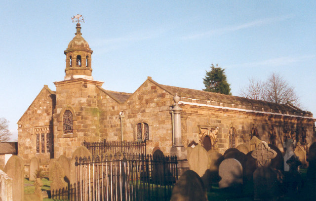
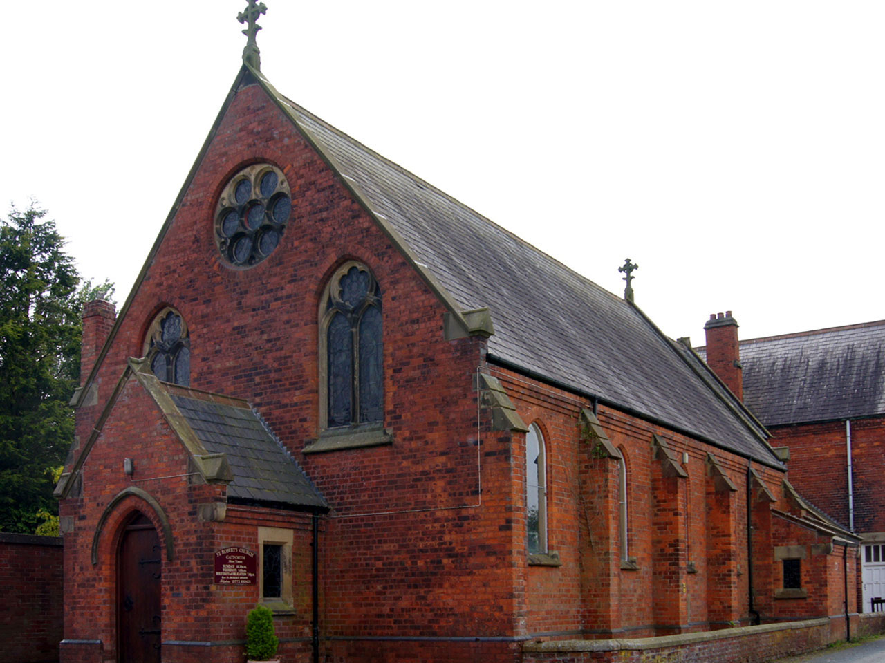
The village is known for its beautiful St. Anne's Church, a Grade I listed building that dates back to the 15th century. The church features stunning architectural details, including a historic tower and stained glass windows. Woodplumpton also has a primary school, providing education for local children.
Despite its small size, Woodplumpton offers a range of amenities to its residents. These include a village hall, a post office, and a local pub, where locals and visitors can socialize and enjoy a pint. The village is well-connected to nearby towns and cities via road and public transport, making it a convenient place to live.
Woodplumpton's tranquil setting, combined with its historical significance, makes it an attractive destination for those seeking a peaceful and idyllic rural lifestyle in the heart of Lancashire.
If you have any feedback on the listing, please let us know in the comments section below.
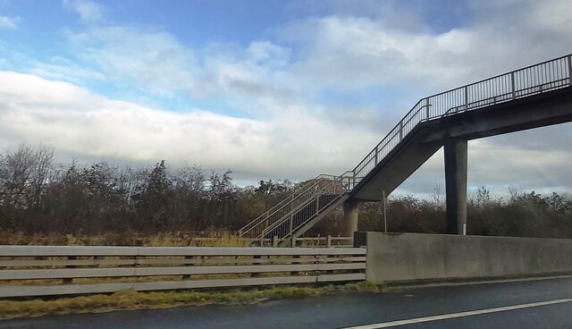
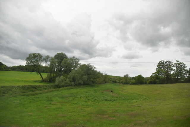
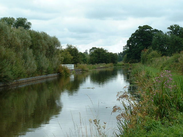
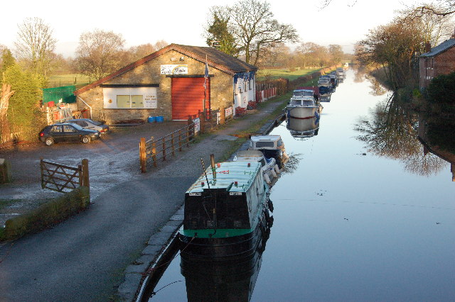
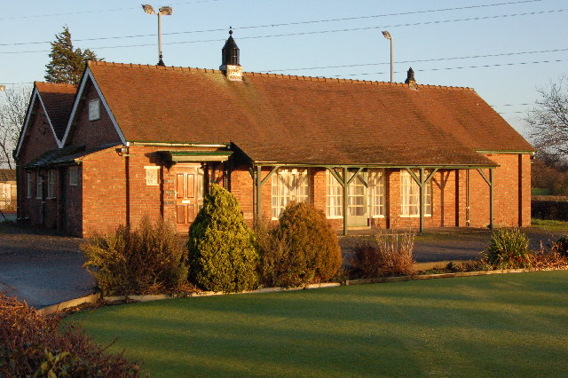
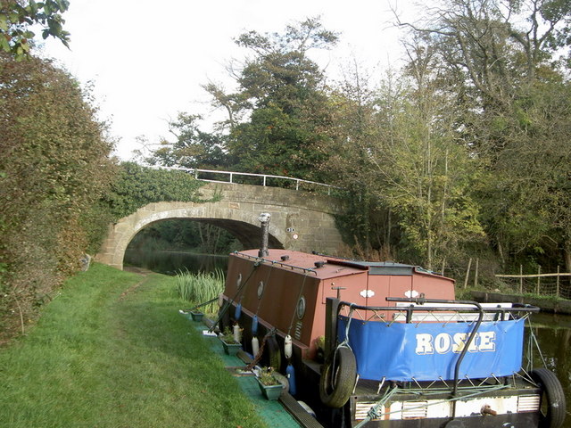
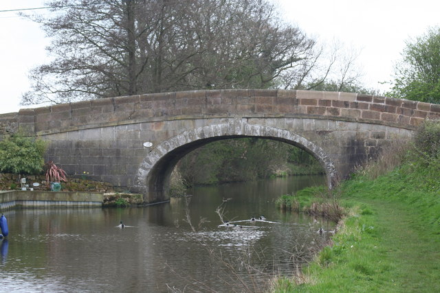
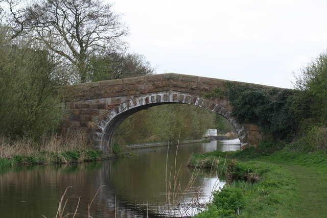
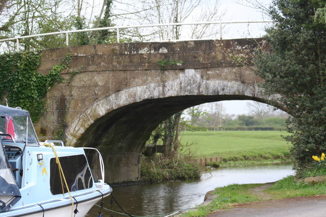
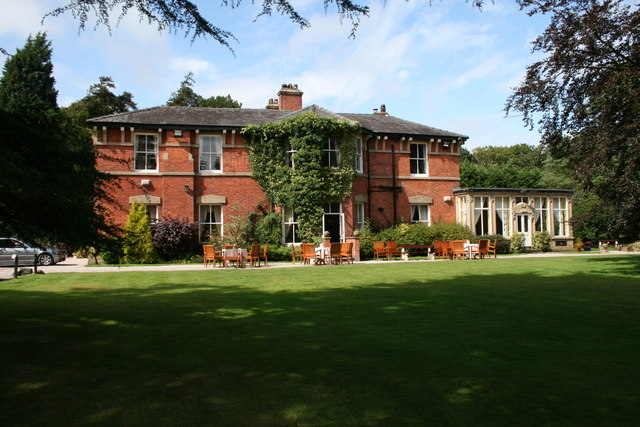
Woodplumpton Images
Images are sourced within 2km of 53.809518/-2.758375 or Grid Reference SD5035. Thanks to Geograph Open Source API. All images are credited.


Woodplumpton is located at Grid Ref: SD5035 (Lat: 53.809518, Lng: -2.758375)
Administrative County: Lancashire
District: Preston
Police Authority: Lancashire
What 3 Words
///eager.famous.clues. Near Goosnargh, Lancashire
Nearby Locations
Related Wikis
Woodplumpton
Woodplumpton is a village and civil parish in the City of Preston, Lancashire, England, located 5 miles (8 km) north of Preston. == Geography == It is...
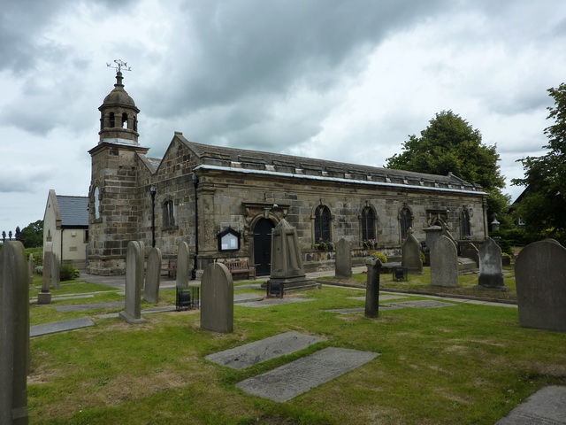
St Anne's Church, Woodplumpton
St Anne's is a church in the village of Woodplumpton in Lancashire, England. It is an active Anglican parish church in the Diocese of Blackburn, and the...

Broughton railway station (England)
Broughton railway station served the village of Broughton, Lancashire, England, from June to November 1840 on the Lancaster and Preston Junction Railway...
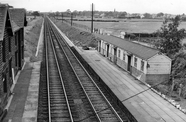
Barton and Broughton railway station
Barton and Broughton railway station served the villages of Barton and Broughton in Lancashire, England, from 1840 to 1965 on the Lancaster and Preston...
Broughton High School, Lancashire
Broughton High School is a coeducational secondary school located in Broughton in the English county of Lancashire.Established in 1975, it is a community...
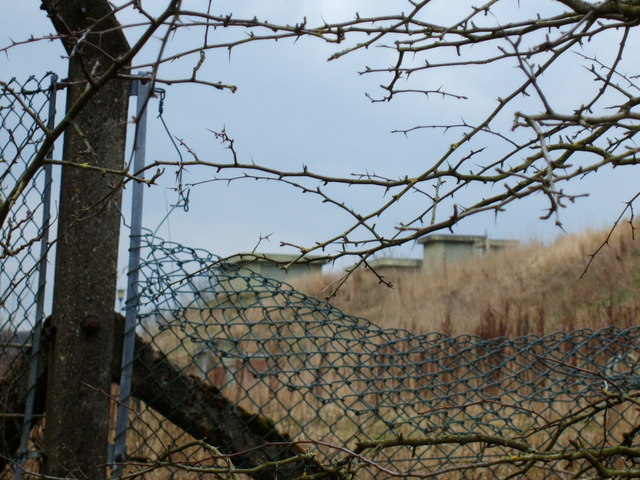
RAF Barton Hall
Royal Air Force Barton Hall or more simply RAF Barton Hall is a former Royal Air Force station situated between the villages of Barton and Broughton, near...
Broughton, Lancashire
Broughton is a village and civil parish in the City of Preston, Lancashire, England, approximately 4 miles (6 km) north of Preston city centre. According...
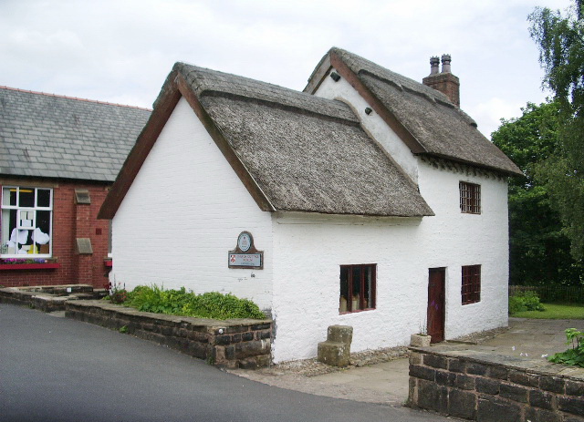
Catforth
Catforth is a village in the English civil parish of Woodplumpton and the City of Preston district, in Lancashire, England. There is a village hall and...
Nearby Amenities
Located within 500m of 53.809518,-2.758375Have you been to Woodplumpton?
Leave your review of Woodplumpton below (or comments, questions and feedback).