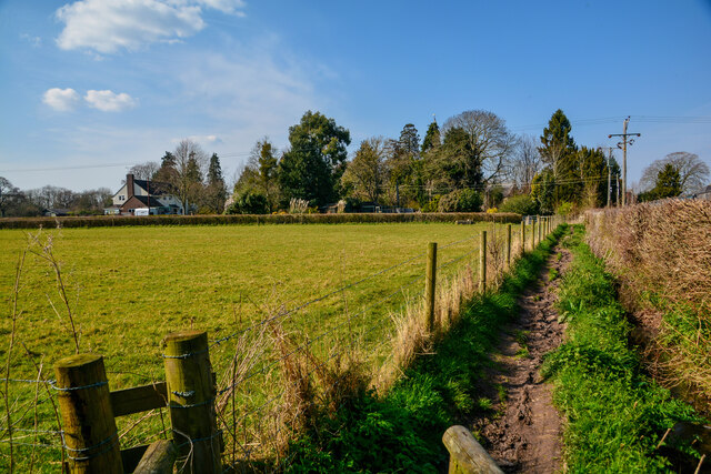
Murlinch Wood
Wood, Forest in Somerset Somerset West and Taunton
England
Murlinch Wood
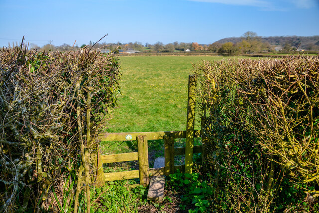
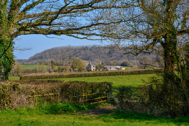
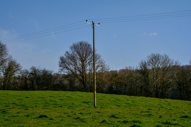
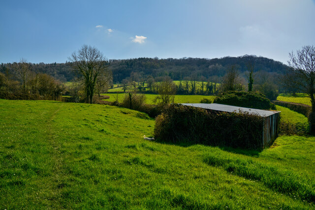
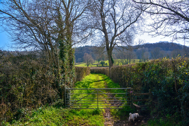
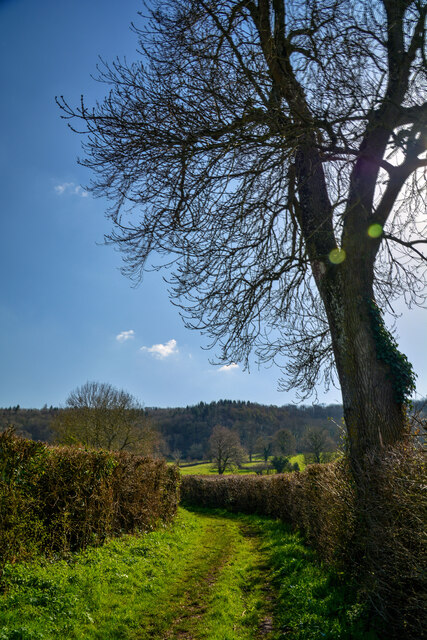
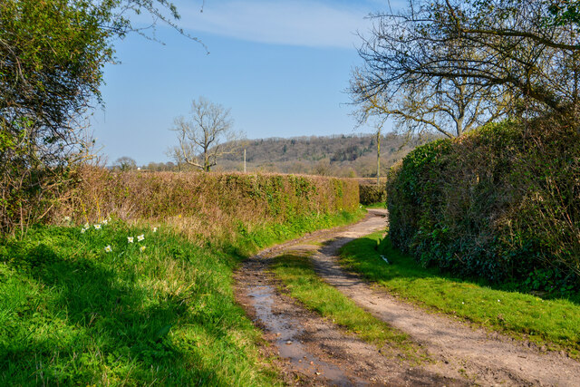
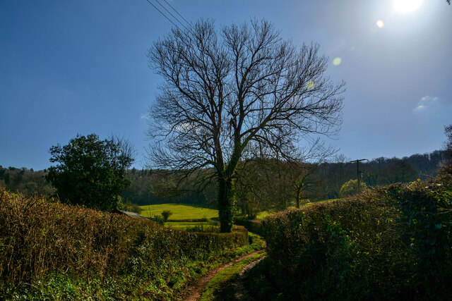
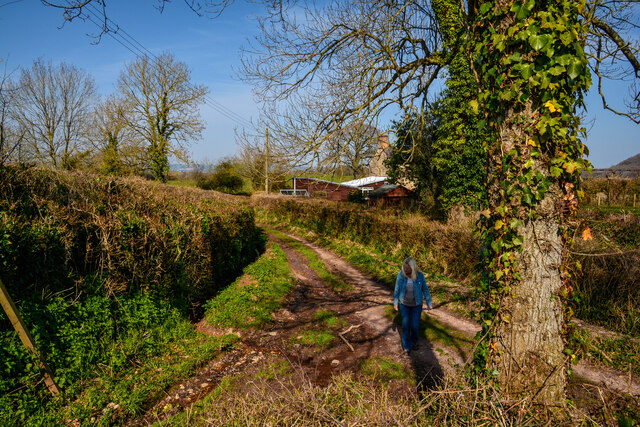
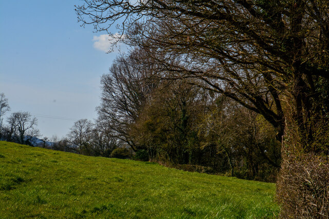
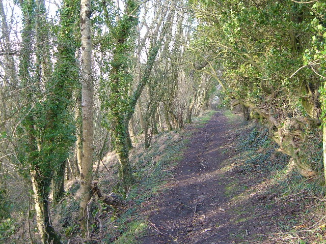
Murlinch Wood, located in Somerset, England, is a picturesque woodland area that offers a serene and tranquil escape from the bustling city life. Spanning over several acres, this beautiful forest is known for its diverse flora and fauna, making it a popular destination for nature enthusiasts and wildlife lovers alike.
The wood is characterized by its dense canopy of towering trees, including oak, beech, and ash. These majestic trees create a cool and shaded environment, perfect for a leisurely stroll or a peaceful picnic. The forest floor is adorned with a carpet of wildflowers, adding a splash of vibrant colors to the landscape.
Murlinch Wood is home to a variety of wildlife, making it an ideal spot for birdwatching and animal spotting. Visitors may catch a glimpse of red deer, roe deer, and foxes roaming freely in their natural habitat. The wood is also a haven for numerous species of birds, such as woodpeckers, owls, and various songbirds, providing a delightful symphony of chirping melodies.
For those interested in history, Murlinch Wood has a rich past. It is believed to have been used for timber production during medieval times, contributing to the construction of nearby settlements. Today, remnants of this history can still be seen in the form of old boundary walls and ditches.
With its enchanting beauty, diverse wildlife, and historical significance, Murlinch Wood is a must-visit destination for nature lovers seeking a peaceful and immersive experience in the heart of Somerset.
If you have any feedback on the listing, please let us know in the comments section below.
Murlinch Wood Images
Images are sourced within 2km of 50.960981/-3.0999836 or Grid Reference ST2218. Thanks to Geograph Open Source API. All images are credited.
Murlinch Wood is located at Grid Ref: ST2218 (Lat: 50.960981, Lng: -3.0999836)
Administrative County: Somerset
District: Somerset West and Taunton
Police Authority: Avon and Somerset
What 3 Words
///misty.homecare.putter. Near Taunton, Somerset
Nearby Locations
Related Wikis
Pitminster
Pitminster is a village and civil parish in Somerset, England, situated 4 miles (6.4 km) south of Taunton. The parish has a population of 956. The parish...

Corfe
Corfe is a village and civil parish in Somerset, England, situated below the Blackdown Hills 4 miles (6.4 km) south of Taunton. The village has a population...

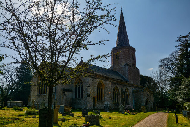
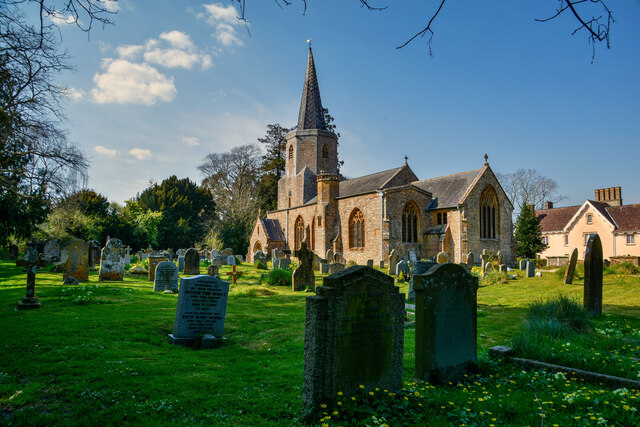
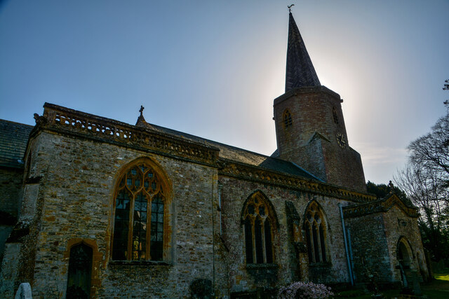
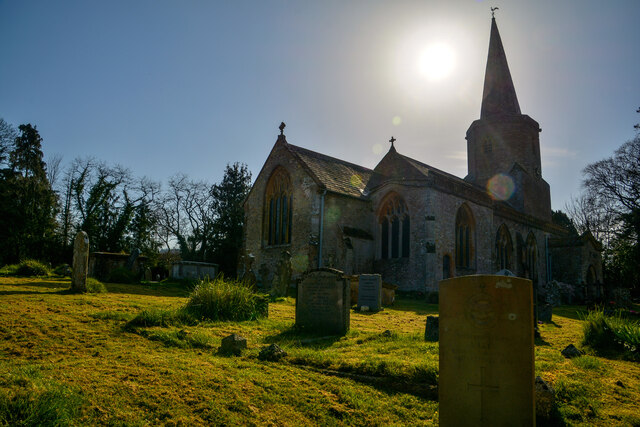
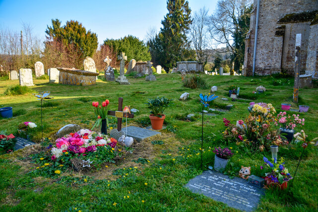
Church of St Nicholas, Corfe
The Anglican Church of St Nicholas in Corfe, Somerset, England was built in the Norman period and rebuilt in 1842. It is a Grade II* listed building....
Prior's Park & Adcombe Wood
Prior's Park & Adcombe Wood (grid reference ST225170) is a 103.6 hectare (256.0 acre) biological Site of Special Scientific Interest south of Pitminster...

Poundisford Park
Poundisford Park north of Pitminster, Somerset, England is an English country house that typifies progressive housebuilding on the part of the West Country...

Staple Hill (Somerset)
Staple Hill is a hill in the English county of Somerset, the highest point in the Blackdown Hills. It is classed as both a Marilyn and a Hardy.This is...

Luxhay Reservoir
Luxhay Reservoir is an artificial reservoir near Angersleigh, Somerset, England. It is now owned by Wessex Water. It was built in 1905 by the town corporation...

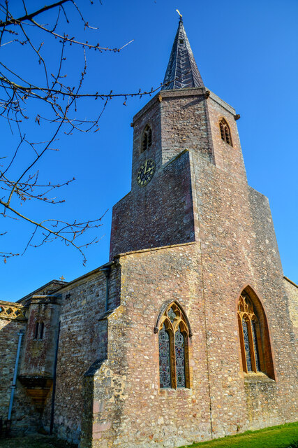
Church of St Michael, Angersleigh
The Anglican Church of St Michael in Angersleigh, Somerset, England was built in the 14th century. It is a Grade II* listed building. == History == The...
Nearby Amenities
Located within 500m of 50.960981,-3.0999836Have you been to Murlinch Wood?
Leave your review of Murlinch Wood below (or comments, questions and feedback).