Needlelee Wood

Wood, Forest in Cumberland Allerdale

England

Needlelee Wood

Wythop Valley View across the Wythop Valley with the farm at Wyhop Hall in the centre. On the far horizon is the lakeland outlier, Binsey.
Wythop Valley Credit: Philip Halling

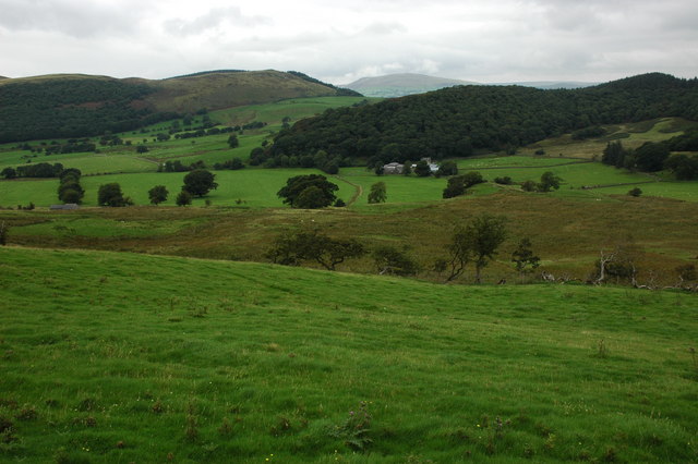
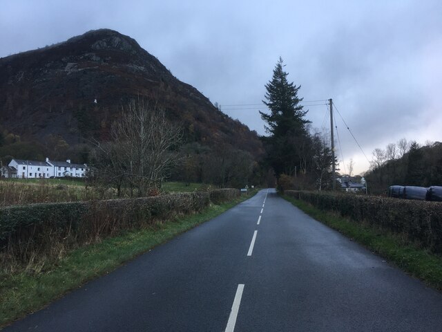
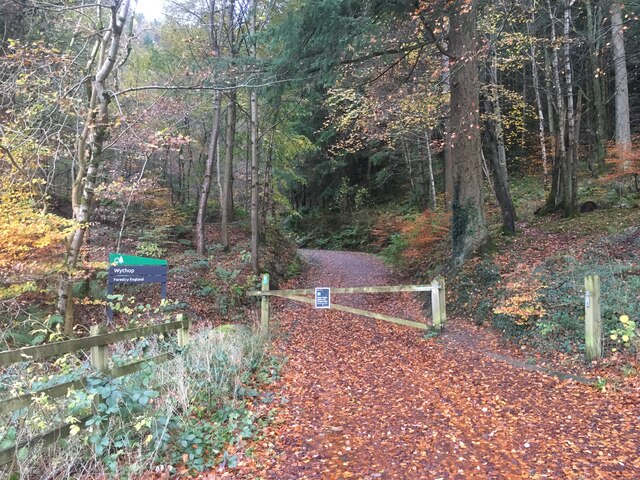
Needlelee Wood is a beautiful forest located in Cumberland, a county in the northwestern part of England. Situated amidst the picturesque landscapes, this wood offers a serene and tranquil environment for nature enthusiasts and hikers alike.

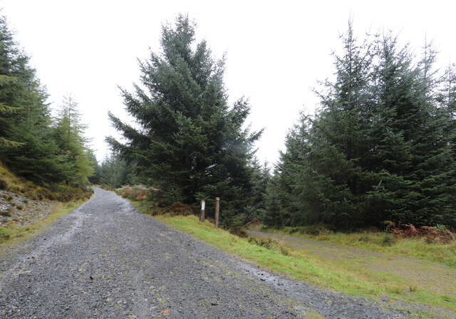
Covering an area of approximately 100 acres, Needlelee Wood is predominantly composed of a mixture of deciduous and coniferous trees, creating a diverse and vibrant ecosystem. The wood is home to a variety of tree species including oak, beech, birch, and pine, which provide shelter and food for numerous species of birds and small mammals.

The woodland floor is carpeted with a rich and diverse array of plants, such as bluebells, primroses, and wild garlic, which blossom during the spring months, adding bursts of color to the forest. The wood is also home to a variety of mosses, ferns, and lichens, contributing to the overall ecosystem.

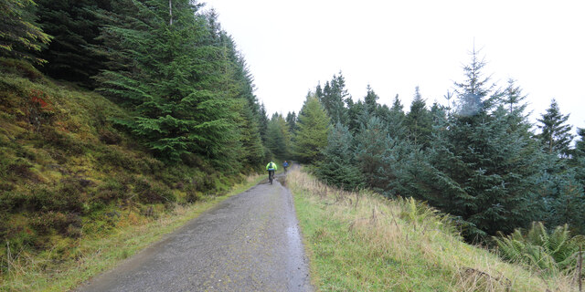
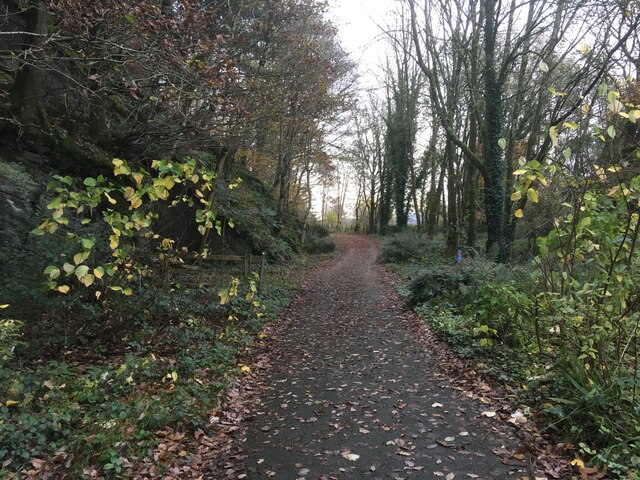
Needlelee Wood offers several well-maintained trails for visitors to explore and enjoy the natural beauty of the area. These trails wind through the forest, offering glimpses of wildlife and opportunities for birdwatching. The wood is especially popular during the autumn months when the leaves change colors, creating a stunning display of reds, oranges, and yellows.

The forest management ensures that Needlelee Wood is well-preserved and protected, promoting sustainable practices and maintaining the natural habitat for future generations to enjoy. Whether it is for a leisurely walk, birdwatching, or simply immersing oneself in nature, Needlelee Wood provides a peaceful and enchanting experience for all who visit.

If you have any feedback on the listing, please let us know in the comments section below.

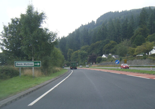
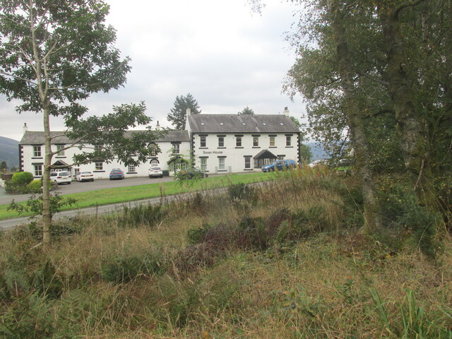
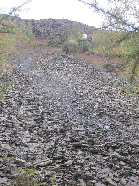
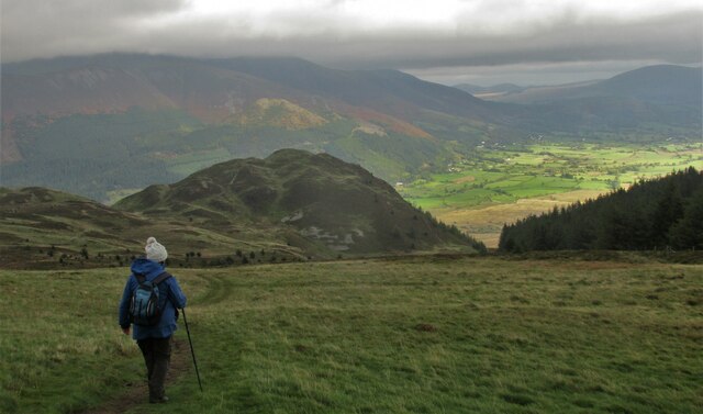
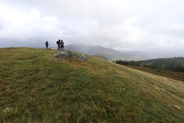
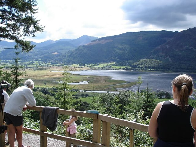
Needlelee Wood Images

Images are sourced within 2km of 54.635981/-3.2155995 or Grid Reference NY2127. Thanks to Geograph Open Source API. All images are credited.

Wythop Valley View across the Wythop Valley with the farm at Wyhop Hall in the centre. On the far horizon is the lakeland outlier, Binsey.
Wythop Valley
View across the Wythop Valley with the farm at Wyhop Hall in the centre. On the far horizon is the lakeland outlier, Binsey.
A66 at Beck Wythop
A66 at Beck Wythop
A66 near Hursthole Point
A66 near Powter How
A66 near Powter How
Swan House Former public house?
Swan House
Former public house?
Path up scree to The  Bishop It's a rough path.
Path up scree to The Bishop
It's a rough path.
The path from Lord's Seat Walking back downhill with great views over Barf.
The path from Lord's Seat
Walking back downhill with great views over Barf.
Not ideal weather for seated Lords It was a bit of a struggle to get to the top of Lord's Seat and definitely not a place for sitting down as the wind was rising towards a gale. Both ourselves and the folk we met on top had decided that it really was a bit too rough to continue the traverse to Barf, just visible ahead. Almost obscured by fast moving cloud, the Skiddaw group is in the far distance.
Not ideal weather for seated Lords
It was a bit of a struggle to get to the top of Lord's Seat and definitely not a place for sitting down as the wind was rising towards a gale. Both ourselves and the folk we met on top had decided that it really was a bit too rough to continue the traverse to Barf, just visible ahead. Almost obscured by fast moving cloud, the Skiddaw group is in the far distance.
Mountain bikers keeping out of the wind in Whinlatter Forest Definitely not a day to be riding out in the open as the wind was getting up towards gale force and gusty with it. Fortunately, Whinlatter Forest provides a lot of relatively sheltered trails.
Mountain bikers keeping out of the wind in Whinlatter Forest
Definitely not a day to be riding out in the open as the wind was getting up towards gale force and gusty with it. Fortunately, Whinlatter Forest provides a lot of relatively sheltered trails.
Track junction in Beckstones Plantation
Road at Powter How, Thornthwaite
Cycle path near Wythop Wood
Entrance into Wythop Wood
St Bega’s Church, Bassenthwaite
Blackstock Point Blackstock Point is a promontory into Bassenthwaite from its south-western shore.
Longside Edge, a prominent ridge of the Skiddaw group of mountains is in the distance.
Blackstock Point
Blackstock Point is a promontory into Bassenthwaite from its south-western shore. Longside Edge, a prominent ridge of the Skiddaw group of mountains is in the distance.
The Bishop on Barf, above Bassenthwaite Lake This spike of rock has been kept whitewashed for decades - a feat of some dedication considering the precipitously steep scree slope it's on.
The Bishop on Barf, above Bassenthwaite Lake
This spike of rock has been kept whitewashed for decades - a feat of some dedication considering the precipitously steep scree slope it's on.
Old gravestone in St Bega's churchyard, near Bassenthwaite Lake St Bega was the daughter of an Irish chief who fled to England, allegedly landing at nearby St Bees Head (which is also named after her).
Old gravestone in St Bega's churchyard, near Bassenthwaite Lake
St Bega was the daughter of an Irish chief who fled to England, allegedly landing at nearby St Bees Head (which is also named after her).
View to the SW from the Osprey Viewpoint, above the Mirehouse carpark We saw red squirrels here, as well as many different species of birds.  The mounted telescopes are very powerful.  We watched a hiker on the summit of one of the fells in the distance take off his rucksack!
View to the SW from the Osprey Viewpoint, above the Mirehouse carpark
We saw red squirrels here, as well as many different species of birds. The mounted telescopes are very powerful. We watched a hiker on the summit of one of the fells in the distance take off his rucksack!
Show me another place!

Needlelee Wood is located at Grid Ref: NY2127 (Lat: 54.635981, Lng: -3.2155995)

Administrative County: Cumbria

District: Allerdale

Police Authority: Cumbria

What 3 Words

///elaborate.goofy.spots. Near Keswick, Cumbria

Related Wikis

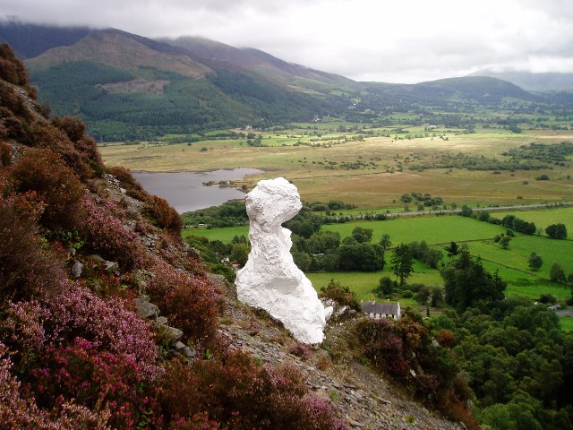
Barf (Lake District)

Barf is a fell in the north-western Lake District in Cumbria, UK. It stands on the south-western shore of Bassenthwaite Lake. Barf is well known for a...

Newlands Beck

Newlands Beck is a minor river of Cumbria in England. The beck rises on Dale Head and flows northwards through the picturesque Newlands Valley, past the...
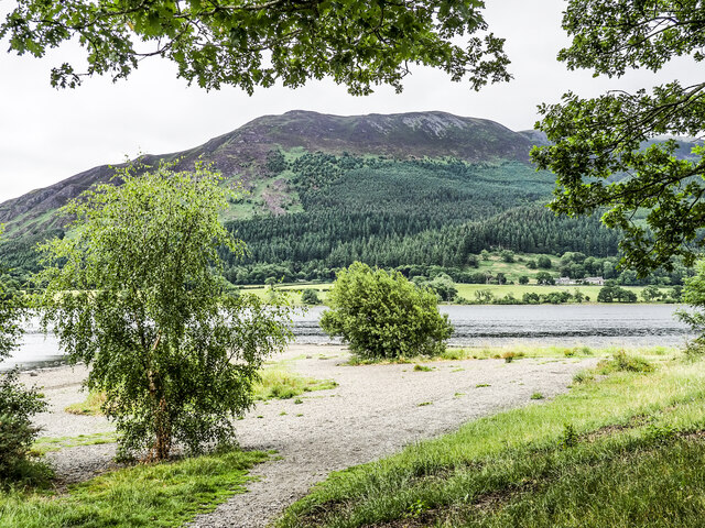
Bassenthwaite Lake

Bassenthwaite Lake is a body of water in the Lake District in North West England, near the town of Keswick. It has an area of 5.3 km2 (2.0 sq mi), making...

Lord's Seat

Lord's Seat is a fell in the English Lake District. It is the highest of the group of hills north of Whinlatter Pass in the North Western Fells. The slopes...
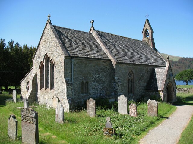
Mirehouse

Mirehouse is a 17th-century house to the north of Keswick in Cumbria, at the foot of Dodd, near Bassenthwaite Lake and St Bega's Church, on the A591 road...

Little Crosthwaite

Little Crosthwaite is a hamlet in the Borough of Allerdale in the English county of Cumbria. It forms part of the civil parish of Underskiddaw. Little...

Chapel Beck

Chapel Beck is a minor river in the county of Cumbria in England. The beck rises in the Whinlatter Forest in the Lake District at the confluence of Grisedale...

Thornthwaite

Thornthwaite is a village in Cumbria, England. Historically in Cumberland, it is just off the A66 road, south of Bassenthwaite Lake and within the Lake...

Nearby Amenities

Located within 500m of 54.635981,-3.2155995
Bus Stop
Woodend Car Park (N bound)
Naptan AtcoCode: 090002990579
Naptan Bearing: N
Naptan CommonName: Woodend Car Park (N bound)
Naptan Indicator: near
Naptan Landmark: juction to A66
Naptan NaptanCode: cumajgpd
Naptan Street: Old A66
Naptan Verified: no
Source: naptan_import
Lat/Long: 54.6377332/-3.2132396
Bus Stop
Woodend Car Park (S bound)
Local Ref: AT
Naptan AtcoCode: 090002994204
Naptan Bearing: S
Naptan CommonName: Woodend Car Park (S bound)
Naptan Indicator: At
Naptan Landmark: Car Park
Naptan NaptanCode: cumdpwag
Naptan Street: Old A66
Naptan Verified: no
Source: naptan_import
Lat/Long: 54.6375111/-3.2129851
Bus Stop
Lat/Long: 54.633044/-3.2108632
Needlelee Wood
Natural: wood
Source: Os OPenData StreetView
Lat/Long: 54.6361709/-3.2147722
Woodend Lead Mine
Disused: yes
Man Made: mine
Mineral: lead
Lat/Long: 54.6328035/-3.2127585
Hursthole Point
Place: locality
Lat/Long: 54.6378897/-3.2109544
Kings Wood
Place: locality
Lat/Long: 54.6390308/-3.2150376
Give Way
Direction: forward
Lat/Long: 54.6380727/-3.2125961
Woodend Brow
Place: locality
Lat/Long: 54.6385412/-3.2203754
Give Way
Direction: forward
Lat/Long: 54.6379473/-3.2130796
Power: pole
Lat/Long: 54.6372111/-3.2127918
Power: pole
Lat/Long: 54.6366394/-3.2121731
Power: pole
Lat/Long: 54.636064/-3.2115435
Power: pole
Lat/Long: 54.6352662/-3.2106817
Power: pole
Lat/Long: 54.6345525/-3.2099046
The data included in this document is from www.openstreetmap.org. The data is made available under ODbL.

Have you been to Needlelee Wood?

Leave your review of Needlelee Wood below (or comments, questions and feedback).