Wallowbarrow Coppice
Wood, Forest in Cumberland Copeland
England
Wallowbarrow Coppice

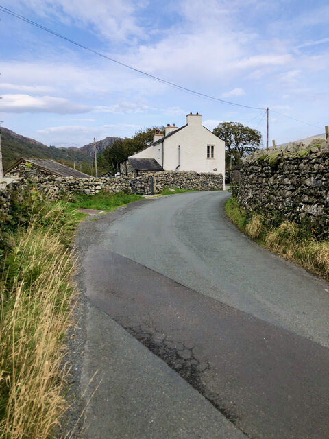
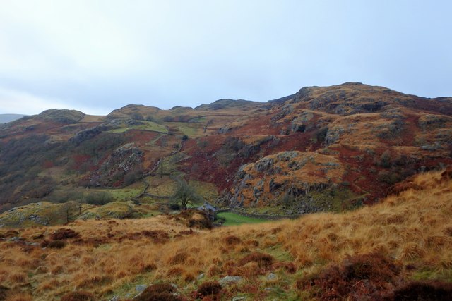
Wallowbarrow Coppice is a picturesque woodland located in the county of Cumberland, England. Covering an area of approximately 50 hectares, it is a prime example of a well-preserved coppice woodland. The forest is situated in the beautiful Duddon Valley, nestled between the fells and rolling hills of the Lake District National Park.
The coppice woodland at Wallowbarrow is made up of a variety of tree species, including oak, ash, birch, and hazel. The woodland has been managed using the traditional technique of coppicing, where trees are cut down to the base and allowed to regrow from the stumps. This sustainable management practice has been in place for centuries and has helped to create a diverse and thriving ecosystem.
The forest floor of Wallowbarrow Coppice is covered in a rich carpet of woodland wildflowers during the spring and summer months. Bluebells, wood sorrel, and primroses are just a few of the species that can be found here, attracting a wide range of insects and other small wildlife. The woodland is also home to a variety of bird species, including woodpeckers, nuthatches, and tawny owls. Red squirrels can occasionally be spotted darting through the trees, adding to the charm and natural beauty of the area.
Wallowbarrow Coppice offers visitors the opportunity to explore its tranquil surroundings through a network of well-maintained walking trails. These paths wind through the forest, providing glimpses of the picturesque Duddon Valley and its surrounding mountains. The woodland also features a small picnic area, allowing visitors to relax and enjoy the peaceful ambiance of the ancient woodland.
If you have any feedback on the listing, please let us know in the comments section below.
Wallowbarrow Coppice Images
Images are sourced within 2km of 54.355509/-3.2072566 or Grid Reference SD2196. Thanks to Geograph Open Source API. All images are credited.


![Site of Commonwood Quarries For more information see Heritagegateway.org.uk &lt;<span class="nowrap"><a title="https://www.heritagegateway.org.uk/Gateway/Results_Single.aspx?resourceID=801&amp;uid=2887969" rel="nofollow ugc noopener" href="https://www.heritagegateway.org.uk/Gateway/Results_Single.aspx?resourceID=801&amp;uid=2887969">Link</a><img style="margin-left:2px;" alt="External link" title="External link - shift click to open in new window" src="https://s1.geograph.org.uk/img/external.png" width="10" height="10"/></span> &gt; [accessed 14 October 2023]
](https://s2.geograph.org.uk/geophotos/07/62/43/7624390_93198c44.jpg)


Wallowbarrow Coppice is located at Grid Ref: SD2196 (Lat: 54.355509, Lng: -3.2072566)
Administrative County: Cumbria
District: Copeland
Police Authority: Cumbria
What 3 Words
///libraries.asterisk.post. Near Millom, Cumbria
Nearby Locations
Related Wikis
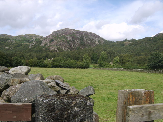
Wallowbarrow Crag
Wallowbarrow Crag is a hill of 292 metres (958 ft) in the Lake District, England. It is on the west of the Duddon Valley, across the valley from the village...

Dunnerdale-with-Seathwaite
Dunnerdale-with-Seathwaite is a civil parish in the Westmorland and Furness district of the ceremonial county of Cumbria, England. It includes the village...

Seathwaite, Westmorland and Furness
Seathwaite is a village in the Dunnerdale-with-Seathwaite civil parish in the Westmorland and Furness district of Cumbria in North West England. It is...
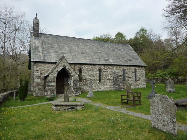
Holy Trinity Church, Seathwaite
Holy Trinity Church is in the village of Seathwaite, Cumbria, England. It is an active Anglican parish church in the deanery of Furness, the archdeaconry...
Nearby Amenities
Located within 500m of 54.355509,-3.2072566Have you been to Wallowbarrow Coppice?
Leave your review of Wallowbarrow Coppice below (or comments, questions and feedback).