Hursthole Point

Coastal Feature, Headland, Point in Cumberland Allerdale

England

Hursthole Point

Floods near Keswick in 2009 Considered by researchers to be the worst floods in the area for 600 years, the floods of November 2009 joined Bassenthwaite Lake and Derwentwater to form a single lake for the first time in over a century.  The low lying land at the head of Bassenthwaite Lake was entirely flooded.
The lakes had originally formed as a single lake, but the alluvial fan from the River Greta extended across the valley dividing it in two.  The December 2015 floods again re-joined the lakes.
Floods near Keswick in 2009 Credit: Adrian Taylor

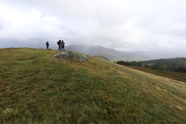
Hursthole Point is a prominent headland located in Cumberland, England. Situated along the rugged coastline, this coastal feature is renowned for its stunning natural beauty and geological significance.

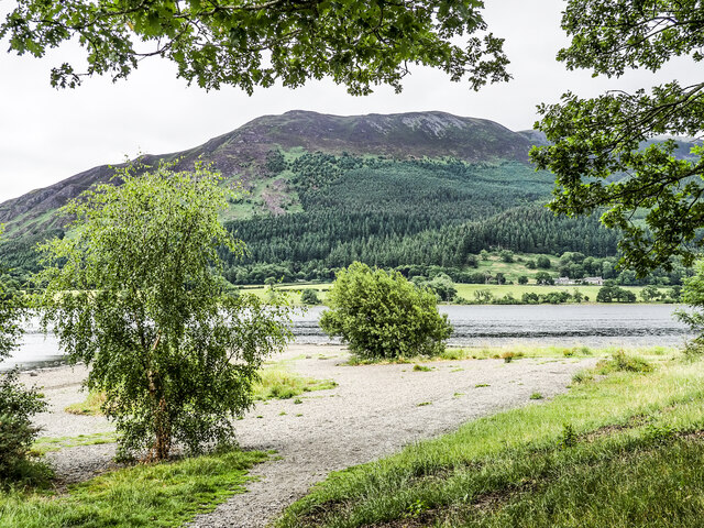
Rising to an elevation of approximately 50 meters (164 feet) above sea level, Hursthole Point offers breathtaking panoramic views of the surrounding landscape. Its commanding position allows visitors to observe the vast expanse of the Irish Sea and the picturesque coastline stretching from north to south.

The headland is characterized by its distinctive rocky cliffs, which have been eroded over time by the relentless force of the crashing waves. These cliffs expose layers of sedimentary rock, providing a valuable glimpse into the geological history of the area.

Hursthole Point is also known for its diverse wildlife. The surrounding waters are home to a variety of marine species, such as seals, dolphins, and seabirds. Birdwatchers flock to the area to catch a glimpse of the numerous species that inhabit the cliffs, including puffins, gulls, and cormorants.

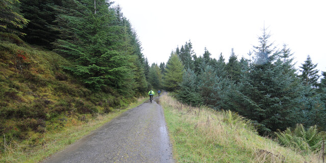
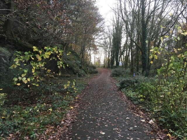
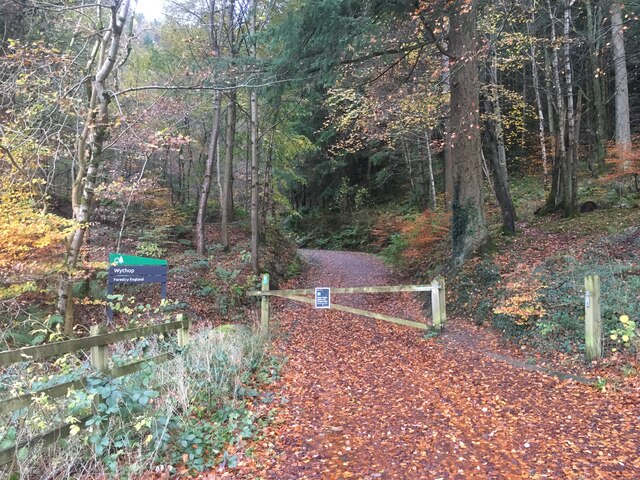
Access to Hursthole Point is facilitated by a network of footpaths and trails that wind through the coastal landscape. These paths offer visitors the opportunity to explore the headland and its surroundings, taking in the fresh sea air and immersing themselves in the natural splendor of the area.

Overall, Hursthole Point is a remarkable coastal feature that combines stunning scenery, geological interest, and abundant wildlife. Whether it is for a leisurely stroll, birdwatching, or simply appreciating the beauty of nature, this headland offers a memorable experience for all who visit.

If you have any feedback on the listing, please let us know in the comments section below.

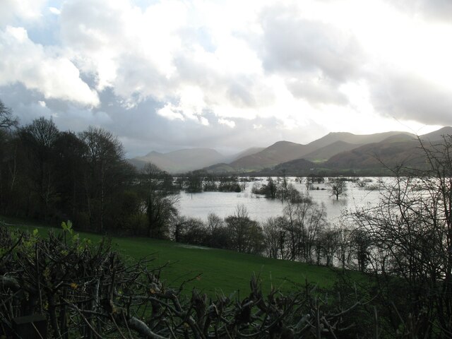
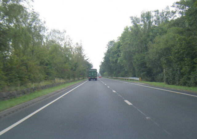
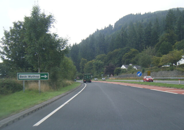
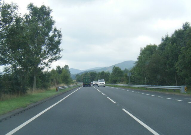
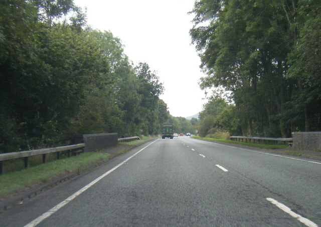
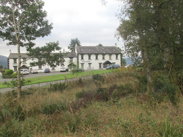
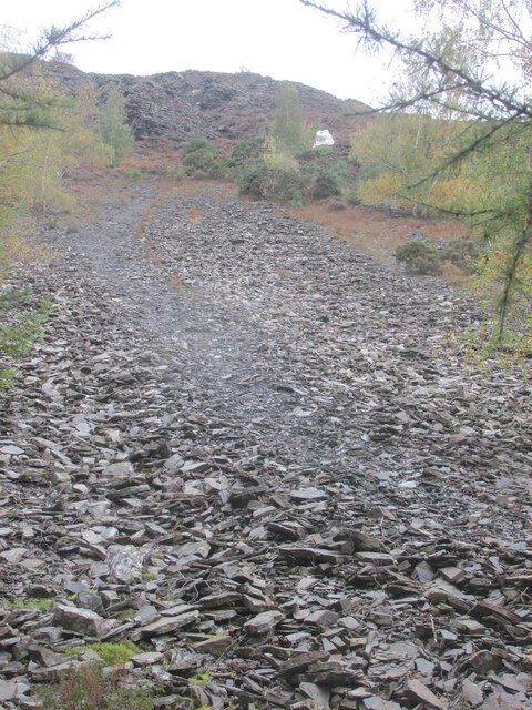
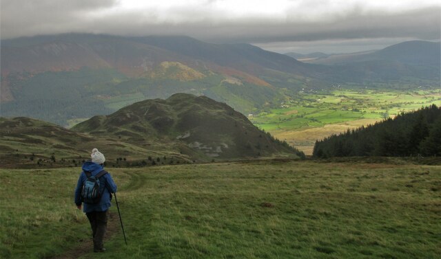
Hursthole Point Images

Images are sourced within 2km of 54.637791/-3.2107884 or Grid Reference NY2127. Thanks to Geograph Open Source API. All images are credited.

Floods near Keswick in 2009 Considered by researchers to be the worst floods in the area for 600 years, the floods of November 2009 joined Bassenthwaite Lake and Derwentwater to form a single lake for the first time in over a century.  The low lying land at the head of Bassenthwaite Lake was entirely flooded.
The lakes had originally formed as a single lake, but the alluvial fan from the River Greta extended across the valley dividing it in two.  The December 2015 floods again re-joined the lakes.
Floods near Keswick in 2009
Considered by researchers to be the worst floods in the area for 600 years, the floods of November 2009 joined Bassenthwaite Lake and Derwentwater to form a single lake for the first time in over a century. The low lying land at the head of Bassenthwaite Lake was entirely flooded. The lakes had originally formed as a single lake, but the alluvial fan from the River Greta extended across the valley dividing it in two. The December 2015 floods again re-joined the lakes.
A66 at Smithy Green
A66 at Smithy Green
A66 at Beck Wythop
A66 at Beck Wythop
A66 near Hursthole Point
A66 near Powter How
A66 near Powter How
Swan House Former public house?
Swan House
Former public house?
Path up scree to The  Bishop It's a rough path.
Path up scree to The Bishop
It's a rough path.
The path from Lord's Seat Walking back downhill with great views over Barf.
The path from Lord's Seat
Walking back downhill with great views over Barf.
Not ideal weather for seated Lords It was a bit of a struggle to get to the top of Lord's Seat and definitely not a place for sitting down as the wind was rising towards a gale. Both ourselves and the folk we met on top had decided that it really was a bit too rough to continue the traverse to Barf, just visible ahead. Almost obscured by fast moving cloud, the Skiddaw group is in the far distance.
Not ideal weather for seated Lords
It was a bit of a struggle to get to the top of Lord's Seat and definitely not a place for sitting down as the wind was rising towards a gale. Both ourselves and the folk we met on top had decided that it really was a bit too rough to continue the traverse to Barf, just visible ahead. Almost obscured by fast moving cloud, the Skiddaw group is in the far distance.
Mountain bikers keeping out of the wind in Whinlatter Forest Definitely not a day to be riding out in the open as the wind was getting up towards gale force and gusty with it. Fortunately, Whinlatter Forest provides a lot of relatively sheltered trails.
Mountain bikers keeping out of the wind in Whinlatter Forest
Definitely not a day to be riding out in the open as the wind was getting up towards gale force and gusty with it. Fortunately, Whinlatter Forest provides a lot of relatively sheltered trails.
Track junction in Beckstones Plantation
Road at Powter How, Thornthwaite
Cycle path near Wythop Wood
Entrance into Wythop Wood
St Bega’s Church, Bassenthwaite
Blackstock Point Blackstock Point is a promontory into Bassenthwaite from its south-western shore.
Longside Edge, a prominent ridge of the Skiddaw group of mountains is in the distance.
Blackstock Point
Blackstock Point is a promontory into Bassenthwaite from its south-western shore. Longside Edge, a prominent ridge of the Skiddaw group of mountains is in the distance.
Old Boundary Marker on the A591 at Mirehouse Parish Boundary Marker on the west side of the A591 immediately north of the entrance to Mirehouse. On the boundary of Underskiddaw and Bassenthwaite parishes. Inscribed UNDERSKIDDAW on its south face and BASSENTHWAITE on its north face. This seems to have been removed between September 2014 and August 2016 and replaced by a new boundary marker, see <a title="https://www.geograph.org.uk/photo/6845294" href="https://www.geograph.org.uk/photo/6845294">Link</a>. See also <span class="nowrap"><a title="http://www.geog.port.ac.uk/webmap/thelakes/photos/blo31.jpg" rel="nofollow ugc noopener" href="http://www.geog.port.ac.uk/webmap/thelakes/photos/blo31.jpg">Link</a><img style="margin-left:2px;" alt="External link" title="External link - shift click to open in new window" src="https://s1.geograph.org.uk/img/external.png" width="10" height="10"/></span> and <span class="nowrap"><a title="http://www.geog.port.ac.uk/webmap/thelakes/photos/blo32.jpg" rel="nofollow ugc noopener" href="http://www.geog.port.ac.uk/webmap/thelakes/photos/blo32.jpg">Link</a><img style="margin-left:2px;" alt="External link" title="External link - shift click to open in new window" src="https://s1.geograph.org.uk/img/external.png" width="10" height="10"/></span>.

Milestone Society National ID: CU_KWWM04pb
Old Boundary Marker on the A591 at Mirehouse
Parish Boundary Marker on the west side of the A591 immediately north of the entrance to Mirehouse. On the boundary of Underskiddaw and Bassenthwaite parishes. Inscribed UNDERSKIDDAW on its south face and BASSENTHWAITE on its north face. This seems to have been removed between September 2014 and August 2016 and replaced by a new boundary marker, see Link. See also LinkExternal link and LinkExternal link. Milestone Society National ID: CU_KWWM04pb
The Bishop on Barf, above Bassenthwaite Lake This spike of rock has been kept whitewashed for decades - a feat of some dedication considering the precipitously steep scree slope it's on.
The Bishop on Barf, above Bassenthwaite Lake
This spike of rock has been kept whitewashed for decades - a feat of some dedication considering the precipitously steep scree slope it's on.
Show me another place!

Hursthole Point is located at Grid Ref: NY2127 (Lat: 54.637791, Lng: -3.2107884)

Administrative County: Cumbria

District: Allerdale

Police Authority: Cumbria

What 3 Words

///gender.message.barstool. Near Keswick, Cumbria

Related Wikis

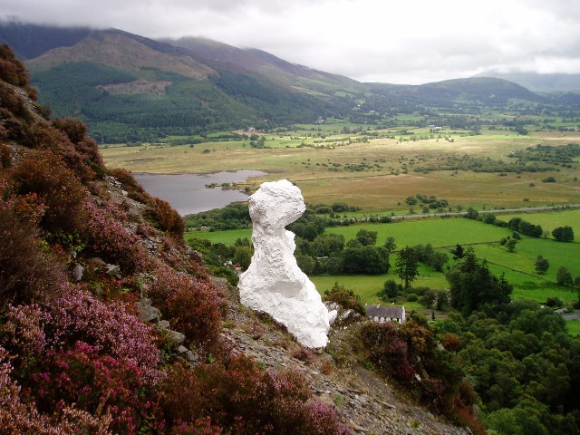
Barf (Lake District)

Barf is a fell in the north-western Lake District in Cumbria, UK. It stands on the south-western shore of Bassenthwaite Lake. Barf is well known for a...

Newlands Beck

Newlands Beck is a minor river of Cumbria in England. The beck rises on Dale Head and flows northwards through the picturesque Newlands Valley, past the...
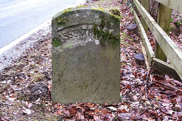
Bassenthwaite Lake

Bassenthwaite Lake is a body of water in the Lake District in North West England, near the town of Keswick. It has an area of 5.3 km2 (2.0 sq mi), making...

Mirehouse

Mirehouse is a 17th-century house to the north of Keswick in Cumbria, at the foot of Dodd, near Bassenthwaite Lake and St Bega's Church, on the A591 road...
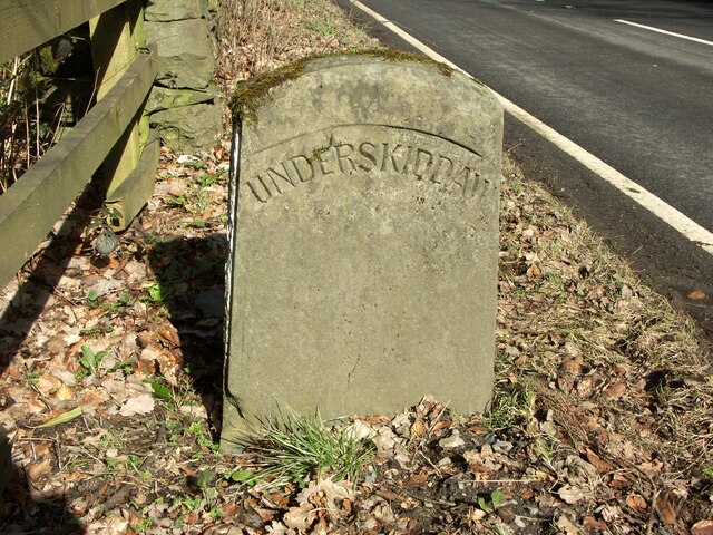
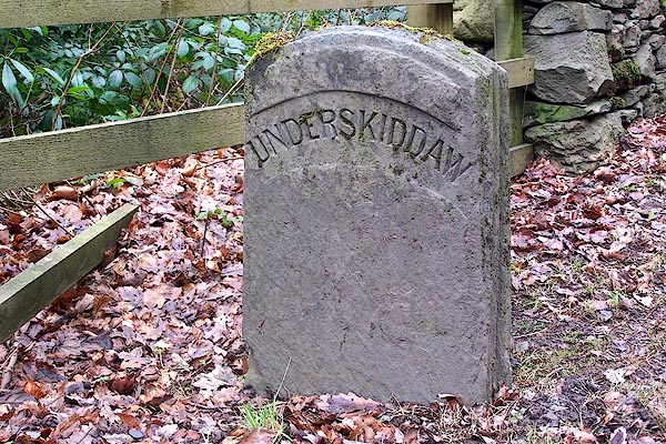
Little Crosthwaite

Little Crosthwaite is a hamlet in the Borough of Allerdale in the English county of Cumbria. It forms part of the civil parish of Underskiddaw. Little...

Lord's Seat

Lord's Seat is a fell in the English Lake District. It is the highest of the group of hills north of Whinlatter Pass in the North Western Fells. The slopes...

Chapel Beck

Chapel Beck is a minor river in the county of Cumbria in England. The beck rises in the Whinlatter Forest in the Lake District at the confluence of Grisedale...

Thornthwaite

Thornthwaite is a village in Cumbria, England. Historically in Cumberland, it is just off the A66 road, south of Bassenthwaite Lake and within the Lake...

Nearby Amenities

Located within 500m of 54.637791,-3.2107884
Bus Stop
Woodend Car Park (N bound)
Naptan AtcoCode: 090002990579
Naptan Bearing: N
Naptan CommonName: Woodend Car Park (N bound)
Naptan Indicator: near
Naptan Landmark: juction to A66
Naptan NaptanCode: cumajgpd
Naptan Street: Old A66
Naptan Verified: no
Source: naptan_import
Lat/Long: 54.6377332/-3.2132396
Bus Stop
Woodend Car Park (S bound)
Local Ref: AT
Naptan AtcoCode: 090002994204
Naptan Bearing: S
Naptan CommonName: Woodend Car Park (S bound)
Naptan Indicator: At
Naptan Landmark: Car Park
Naptan NaptanCode: cumdpwag
Naptan Street: Old A66
Naptan Verified: no
Source: naptan_import
Lat/Long: 54.6375111/-3.2129851
Needlelee Wood
Natural: wood
Source: Os OPenData StreetView
Lat/Long: 54.6361709/-3.2147722
Parking
Access: yes
Fee: no
Park Ride: no
Parking: lane
Supervised: yes
Surface: asphalt
Lat/Long: 54.6346659/-3.2074638
Blackstock Point
Place: locality
Lat/Long: 54.6354388/-3.2059913
Hursthole Point
Place: locality
Lat/Long: 54.6378897/-3.2109544
Kings Wood
Place: locality
Lat/Long: 54.6390308/-3.2150376
Give Way
Direction: forward
Lat/Long: 54.6380727/-3.2125961
Give Way
Direction: forward
Lat/Long: 54.6379473/-3.2130796
Power: pole
Lat/Long: 54.6372111/-3.2127918
Power: pole
Lat/Long: 54.6366394/-3.2121731
Power: pole
Lat/Long: 54.636064/-3.2115435
Power: pole
Lat/Long: 54.6352662/-3.2106817
Power: pole
Lat/Long: 54.6345525/-3.2099046
The data included in this document is from www.openstreetmap.org. The data is made available under ODbL.

Have you been to Hursthole Point?

Leave your review of Hursthole Point below (or comments, questions and feedback).