Blagdon Copse
Wood, Forest in Somerset Somerset West and Taunton
England
Blagdon Copse

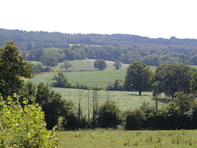
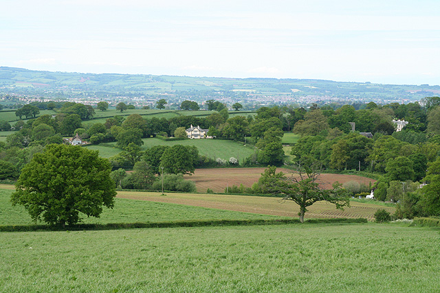
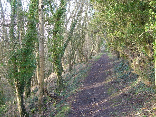
Blagdon Copse is a picturesque wood located in the county of Somerset, England. Situated near the village of Blagdon, this woodland covers an area of approximately 30 acres and is a popular destination for nature enthusiasts and those seeking tranquility.
The copse is predominantly composed of native broadleaf trees, including oak, ash, and beech, which create a dense canopy that filters sunlight and creates a cool, shaded environment. These trees stand tall and majestic, providing a habitat for a variety of woodland creatures such as deer, badgers, and various species of birds.
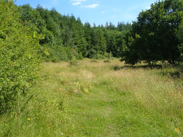
A network of well-maintained footpaths winds through Blagdon Copse, enabling visitors to explore its beauty at their leisure. The paths lead visitors through a diverse landscape that includes open clearings, dense thickets, and serene streams. Along the way, one can find a rich variety of wildflowers, including bluebells, primroses, and wood anemones, which add color and fragrance to the woodland.
Blagdon Copse is a designated Site of Special Scientific Interest (SSSI) due to its biological importance and the presence of rare plant species. The copse is carefully managed by local conservation organizations to preserve its natural beauty and protect the delicate ecosystem within.
With its peaceful ambiance and abundance of wildlife, Blagdon Copse offers a serene escape from the hustle and bustle of everyday life. Whether one is taking a leisurely walk, birdwatching, or simply enjoying the tranquility, this woodland is a true gem of Somerset's natural heritage.
If you have any feedback on the listing, please let us know in the comments section below.
Blagdon Copse Images
Images are sourced within 2km of 50.953114/-3.1290264 or Grid Reference ST2017. Thanks to Geograph Open Source API. All images are credited.


Blagdon Copse is located at Grid Ref: ST2017 (Lat: 50.953114, Lng: -3.1290264)
Administrative County: Somerset
District: Somerset West and Taunton
Police Authority: Avon and Somerset
What 3 Words
///twinkling.fear.remain. Near Taunton, Somerset
Nearby Locations
Related Wikis

Luxhay Reservoir
Luxhay Reservoir is an artificial reservoir near Angersleigh, Somerset, England. It is now owned by Wessex Water. It was built in 1905 by the town corporation...

Leigh Reservoir
Leigh Reservoir, or Leigh Hill Reservoir, is a small reservoir in Somerset, England. It was built in 1893 to supply water to the town of Taunton, Somerset...

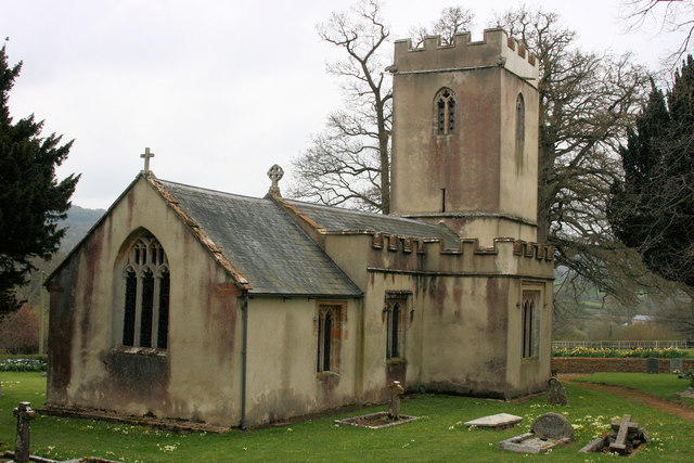
Church of St Michael, Angersleigh
The Anglican Church of St Michael in Angersleigh, Somerset, England was built in the 14th century. It is a Grade II* listed building. == History == The...
Prior's Park & Adcombe Wood
Prior's Park & Adcombe Wood (grid reference ST225170) is a 103.6 hectare (256.0 acre) biological Site of Special Scientific Interest south of Pitminster...

Quants Reserve
Quants Reserve is a nature reserve north west of Burnworthy in Somerset, England. It consists of a grassland clearing in a forestry plantation. It is well...
Pitminster
Pitminster is a village and civil parish in Somerset, England, situated 4 miles (6.4 km) south of Taunton. The parish has a population of 956. The parish...

RAF Culmhead
Royal Air Force Culmhead or more simply RAF Culmhead is a former Royal Air Force station, situated at Churchstanton on the Blackdown Hills in Somerset...
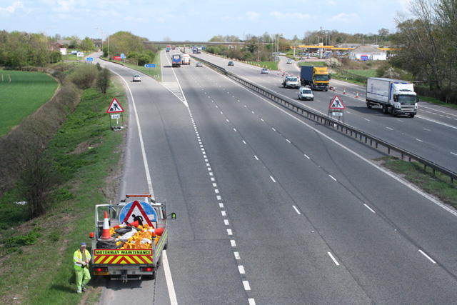
Taunton Deane services
Taunton Deane services is a double sided motorway service station on the M5 motorway near Taunton, England. It is owned by Roadchef. == Location == The...
Nearby Amenities
Located within 500m of 50.953114,-3.1290264Have you been to Blagdon Copse?
Leave your review of Blagdon Copse below (or comments, questions and feedback).