Blagdon Reservoir
Lake, Pool, Pond, Freshwater Marsh in Somerset Somerset West and Taunton
England
Blagdon Reservoir
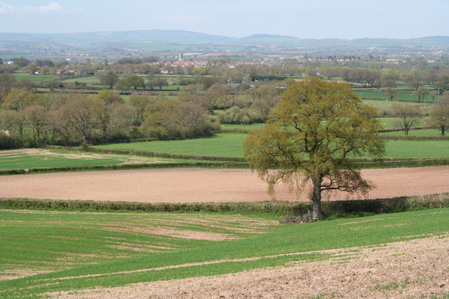
Blagdon Reservoir, located in Somerset, England, is a man-made freshwater lake that serves as a vital water source for the Bristol area. It covers an area of approximately 440 acres and can hold up to 1,440 million gallons of water. The reservoir was constructed in 1905 by Bristol Water, with the primary purpose of supplying clean drinking water to the growing population of Bristol.
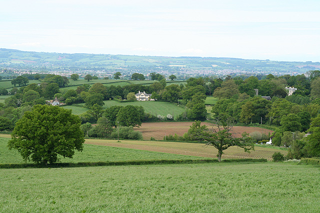
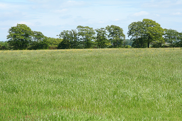
The reservoir is fed by several springs and streams that flow from the nearby Mendip Hills, ensuring a constant supply of water. It is also surrounded by beautiful countryside, offering stunning views and attracting visitors who enjoy outdoor activities such as walking, birdwatching, and fishing.
Blagdon Reservoir supports a diverse range of wildlife due to its freshwater ecosystem. The surrounding marshland provides a habitat for numerous bird species, including herons, kingfishers, and swans. Anglers are drawn to the reservoir for its healthy fish population, which includes trout, pike, and perch.
To maintain the reservoir's water quality, Bristol Water implements strict regulations to prevent pollution. There are designated areas for recreational activities and boating, ensuring the safety and preservation of the reservoir and its surroundings.
Blagdon Reservoir not only serves as a crucial water source for the area but also provides a picturesque setting for nature enthusiasts and outdoor enthusiasts alike. Its combination of natural beauty, diverse wildlife, and recreational opportunities make it a popular destination for locals and tourists seeking tranquility and connection with nature.
If you have any feedback on the listing, please let us know in the comments section below.
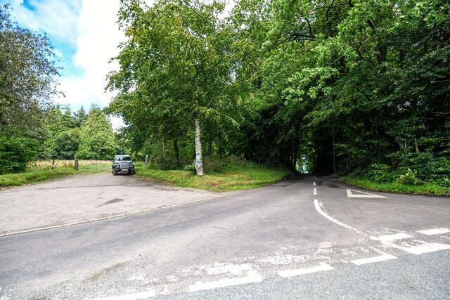
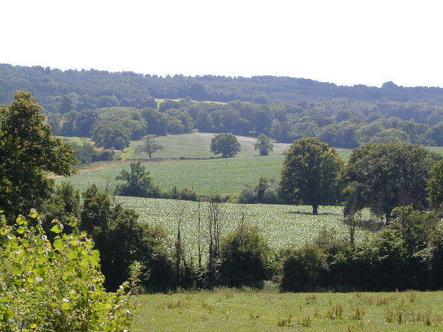
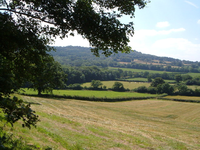
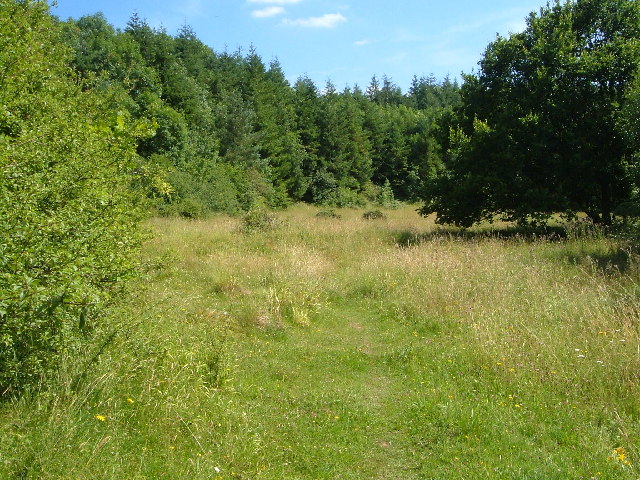
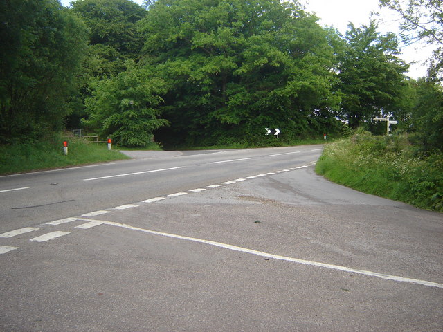
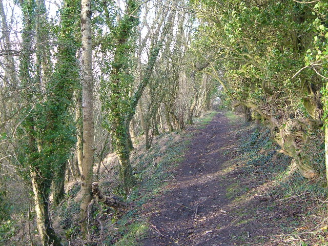
Blagdon Reservoir Images
Images are sourced within 2km of 50.948565/-3.1381693 or Grid Reference ST2017. Thanks to Geograph Open Source API. All images are credited.


Blagdon Reservoir is located at Grid Ref: ST2017 (Lat: 50.948565, Lng: -3.1381693)
Administrative County: Somerset
District: Somerset West and Taunton
Police Authority: Avon and Somerset
What 3 Words
///pies.derailed.brightens. Near Hemyock, Devon
Related Wikis

Luxhay Reservoir
Luxhay Reservoir is an artificial reservoir near Angersleigh, Somerset, England. It is now owned by Wessex Water. It was built in 1905 by the town corporation...

Leigh Reservoir
Leigh Reservoir, or Leigh Hill Reservoir, is a small reservoir in Somerset, England. It was built in 1893 to supply water to the town of Taunton, Somerset...

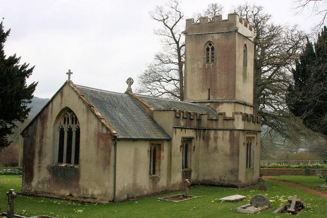
Church of St Michael, Angersleigh
The Anglican Church of St Michael in Angersleigh, Somerset, England was built in the 14th century. It is a Grade II* listed building. == History == The...

Quants Reserve
Quants Reserve is a nature reserve north west of Burnworthy in Somerset, England. It consists of a grassland clearing in a forestry plantation. It is well...

RAF Culmhead
Royal Air Force Culmhead or more simply RAF Culmhead is a former Royal Air Force station, situated at Churchstanton on the Blackdown Hills in Somerset...
Prior's Park & Adcombe Wood
Prior's Park & Adcombe Wood (grid reference ST225170) is a 103.6 hectare (256.0 acre) biological Site of Special Scientific Interest south of Pitminster...

Churchstanton
Churchstanton is a village and civil parish in Somerset, England, situated within the Blackdown Hills Area of Outstanding Natural Beauty, on the River...

Ringdown SSSI, Somerset
Ringdown (grid reference ST178155) is a 4.0 hectare (9.9 acre) biological Site of Special Scientific Interest west of Burnworthy in the Blackdown Hills...
Have you been to Blagdon Reservoir?
Leave your review of Blagdon Reservoir below (or comments, questions and feedback).