Blagdon Hill
Hill, Mountain in Somerset Somerset West and Taunton
England
Blagdon Hill

Blagdon Hill is a small village situated in the county of Somerset, England. It is located approximately six miles east of the city of Taunton and lies on the southern slopes of the Blackdown Hills, a range of hills and plateaus that stretch across Somerset and Devon.
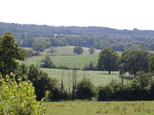
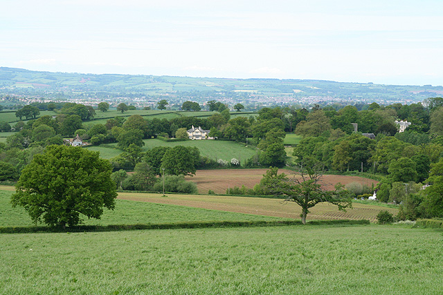
The village is nestled at the foot of Blagdon Hill, which stands at an elevation of 234 meters (768 feet) above sea level, making it one of the highest points in the Blackdown Hills. The hill offers stunning panoramic views of the surrounding countryside, including the Vale of Taunton and the Quantock Hills to the north.
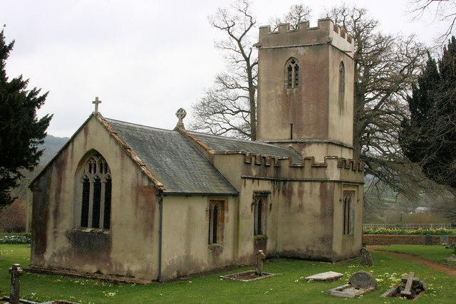
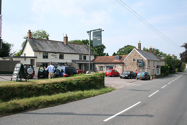
Blagdon Hill is primarily a residential area, with a small but close-knit community. The village is known for its picturesque thatched cottages and traditional stone houses, which add to its charm and character. It also boasts a historic church, St. Michael and All Angels, which dates back to the 13th century.
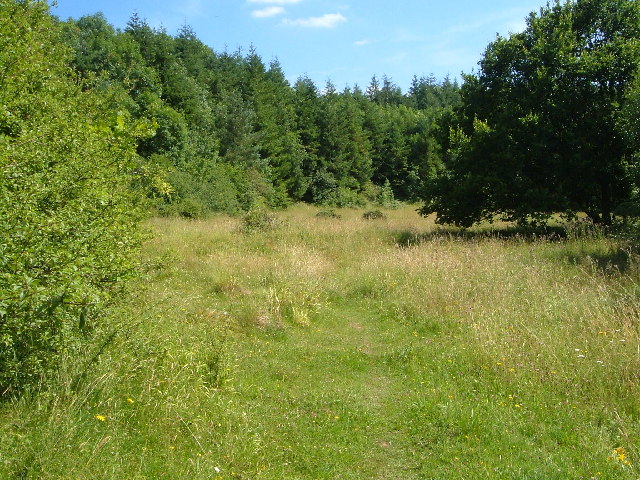
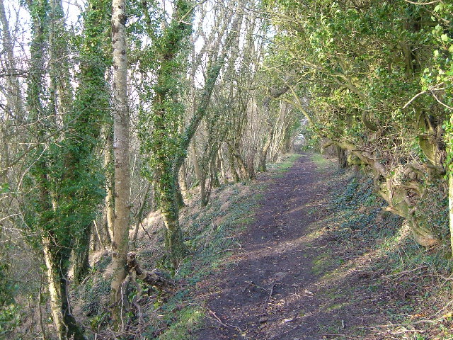
The surrounding area is predominantly agricultural, with rolling hills and fertile farmland. The Blackdown Hills are designated as an Area of Outstanding Natural Beauty, and Blagdon Hill serves as a gateway to explore the stunning countryside and enjoy outdoor activities such as hiking, cycling, and horse riding.
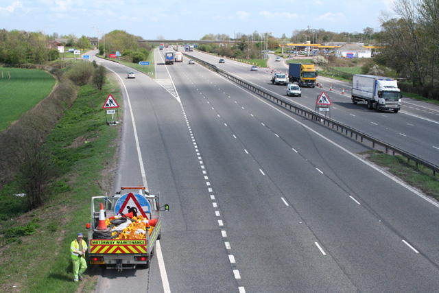
Despite its rural setting, Blagdon Hill benefits from good transport links, with the A358 road passing through the village, providing easy access to Taunton and the nearby towns of Ilminster and Chard. Overall, Blagdon Hill offers a tranquil and idyllic setting, perfect for those seeking a peaceful retreat in the heart of the Somerset countryside.
If you have any feedback on the listing, please let us know in the comments section below.
Blagdon Hill Images
Images are sourced within 2km of 50.952395/-3.1298774 or Grid Reference ST2017. Thanks to Geograph Open Source API. All images are credited.


Blagdon Hill is located at Grid Ref: ST2017 (Lat: 50.952395, Lng: -3.1298774)
Administrative County: Somerset
District: Somerset West and Taunton
Police Authority: Avon and Somerset
What 3 Words
///attend.soaks.dreamers. Near Taunton, Somerset
Nearby Locations
Related Wikis

Luxhay Reservoir
Luxhay Reservoir is an artificial reservoir near Angersleigh, Somerset, England. It is now owned by Wessex Water. It was built in 1905 by the town corporation...

Leigh Reservoir
Leigh Reservoir, or Leigh Hill Reservoir, is a small reservoir in Somerset, England. It was built in 1893 to supply water to the town of Taunton, Somerset...

Church of St Michael, Angersleigh
The Anglican Church of St Michael in Angersleigh, Somerset, England was built in the 14th century. It is a Grade II* listed building. == History == The...
Prior's Park & Adcombe Wood
Prior's Park & Adcombe Wood (grid reference ST225170) is a 103.6 hectare (256.0 acre) biological Site of Special Scientific Interest south of Pitminster...

Quants Reserve
Quants Reserve is a nature reserve north west of Burnworthy in Somerset, England. It consists of a grassland clearing in a forestry plantation. It is well...

RAF Culmhead
Royal Air Force Culmhead or more simply RAF Culmhead is a former Royal Air Force station, situated at Churchstanton on the Blackdown Hills in Somerset...
Pitminster
Pitminster is a village and civil parish in Somerset, England, situated 4 miles (6.4 km) south of Taunton. The parish has a population of 956. The parish...
Taunton Deane services
Taunton Deane services is a double sided motorway service station on the M5 motorway near Taunton, England. It is owned by Roadchef. == Location == The...
Nearby Amenities
Located within 500m of 50.952395,-3.1298774Have you been to Blagdon Hill?
Leave your review of Blagdon Hill below (or comments, questions and feedback).