Bryn Coch
Hill, Mountain in Montgomeryshire
Wales
Bryn Coch

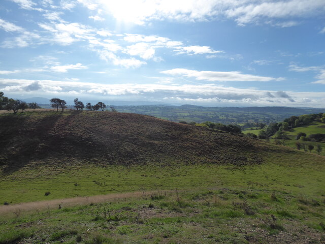
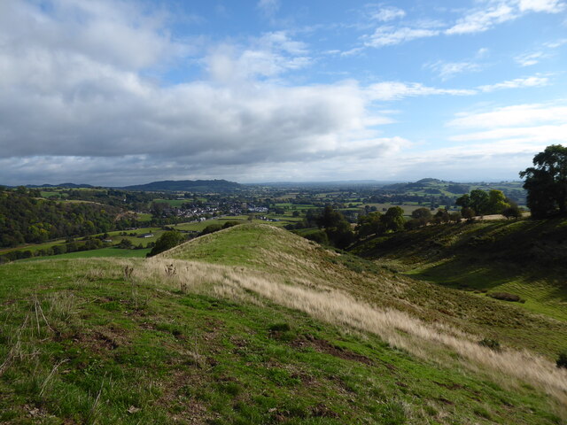
Bryn Coch is a prominent hill/mountain located in Montgomeryshire, Wales. Standing at an elevation of approximately 1,433 feet (437 meters), it offers breathtaking views of the surrounding countryside. The hill/mountain is situated within the Berwyn Range, a beautiful and largely unspoiled area renowned for its natural beauty and diverse wildlife.
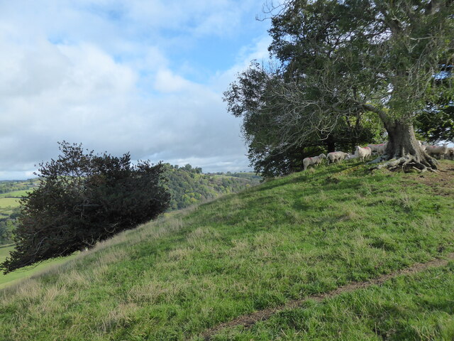
Bryn Coch is characterized by its steep slopes, rocky outcrops, and lush vegetation. It is primarily composed of sedimentary rocks, including sandstone and gritstone, which were formed millions of years ago. These geological features make it an attractive destination for geologists and rock climbers alike.
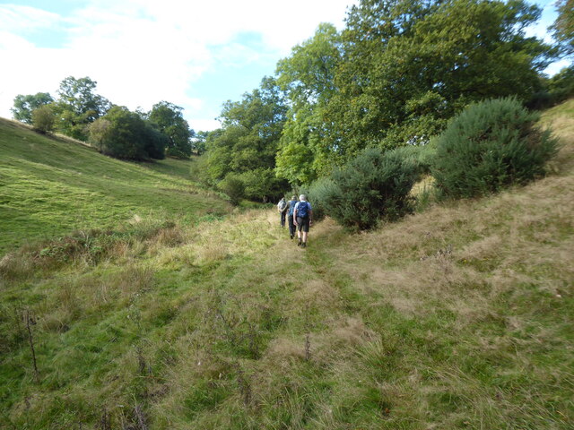
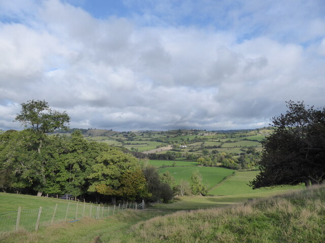
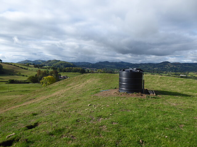
The hill/mountain is a popular destination for hiking enthusiasts, providing a range of trails suitable for all levels of experience. The routes are well-marked and maintained, ensuring a safe and enjoyable experience for visitors. The summit of Bryn Coch offers panoramic views of the surrounding Montgomeryshire countryside, including rolling hills, verdant valleys, and meandering rivers.
The area surrounding Bryn Coch is also home to a diverse range of flora and fauna. The hill/mountain is covered in heather, grasses, and various shrubs, providing habitat for numerous species of birds, insects, and small mammals. Wildlife enthusiasts can spot common species such as buzzards, red kites, and hares, as well as more elusive creatures like foxes and badgers.
Overall, Bryn Coch is a picturesque and ecologically rich hill/mountain that attracts both nature lovers and outdoor enthusiasts. Its stunning views, challenging trails, and diverse wildlife make it a must-visit destination for anyone exploring Montgomeryshire.
If you have any feedback on the listing, please let us know in the comments section below.
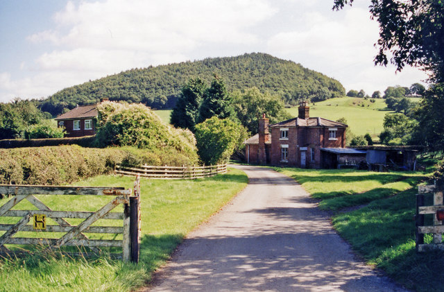
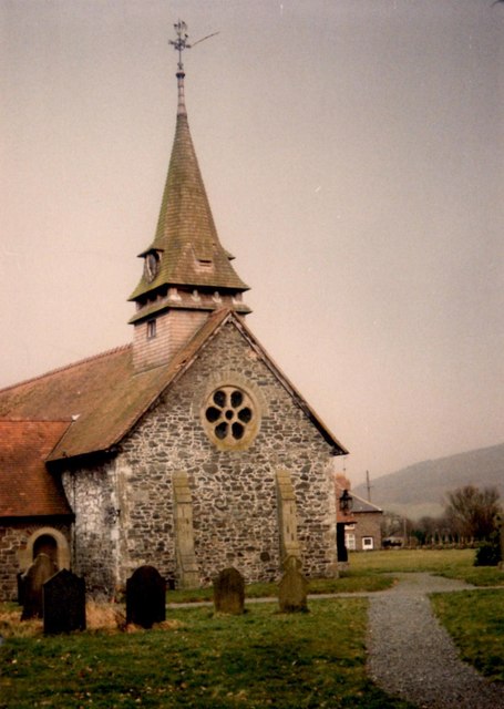
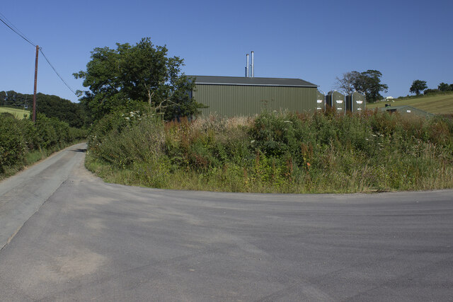
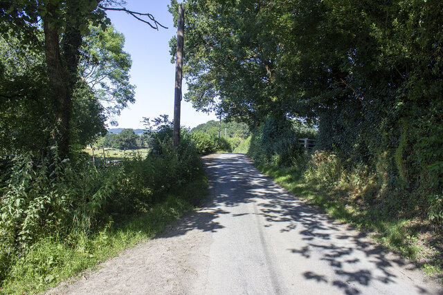
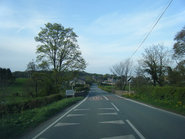
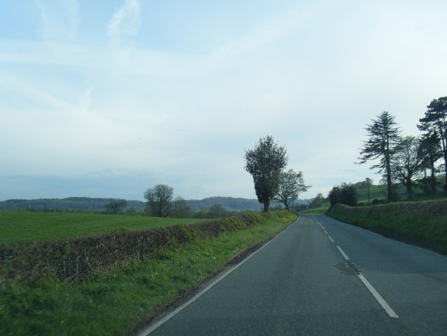
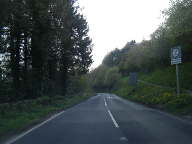
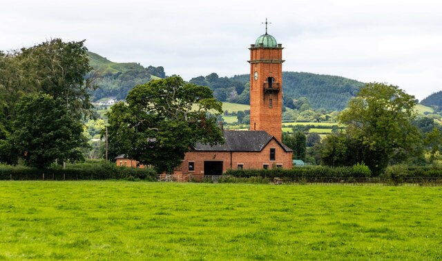
Bryn Coch Images
Images are sourced within 2km of 52.768721/-3.1763322 or Grid Reference SJ2019. Thanks to Geograph Open Source API. All images are credited.


Bryn Coch is located at Grid Ref: SJ2019 (Lat: 52.768721, Lng: -3.1763322)
Unitary Authority: Powys
Police Authority: Dyfed Powys
What 3 Words
///equity.comically.biked. Near Llanfechain, Powys
Nearby Locations
Related Wikis

Llanfechain railway station
Llanfechain railway station is a former station in Llanfechain, Powys, Wales. The station opened in 1865 and closed in 1965. The station site is now a...

Aithnen
Aithnen is a small settlement in Powys, Wales. It is 10 kilometres (6 mi) southwest of the town of Oswestry. == External links == Aithnen at Streetmap...

Llansantffraid-ym-Mechain
Llansantffraid-ym-Mechain is a large village (in the community of Llansantffraid) in Powys, Mid Wales, close to the border with Shropshire in England,...
Deytheur Grammar School
Deytheur Grammar School was opened in 1896 at Llansantffraid-ym-Mechain, Wales. Notable pupils included John Fraser Drummond DFC a Battle of Britain ace...

Recreation Ground, Llansantffraid-ym-Mechain
The Recreation Ground, usually referred to as Treflan, is a football stadium in Llansantffraid-ym-Mechain, Powys, Wales and is the home of Mid Wales League...
Llansantffraid railway station
Llansantffraid railway station is a former station in Llansantffraid-ym-Mechain, Powys, Wales. The station opened in 1863 and closed in 1965. The station...

Llanfechain
Llanfechain is a village and community in Powys, Wales, on the B4393 road between Llanfyllin and Llansantffraid-ym-Mechain. Historically it belonged to...
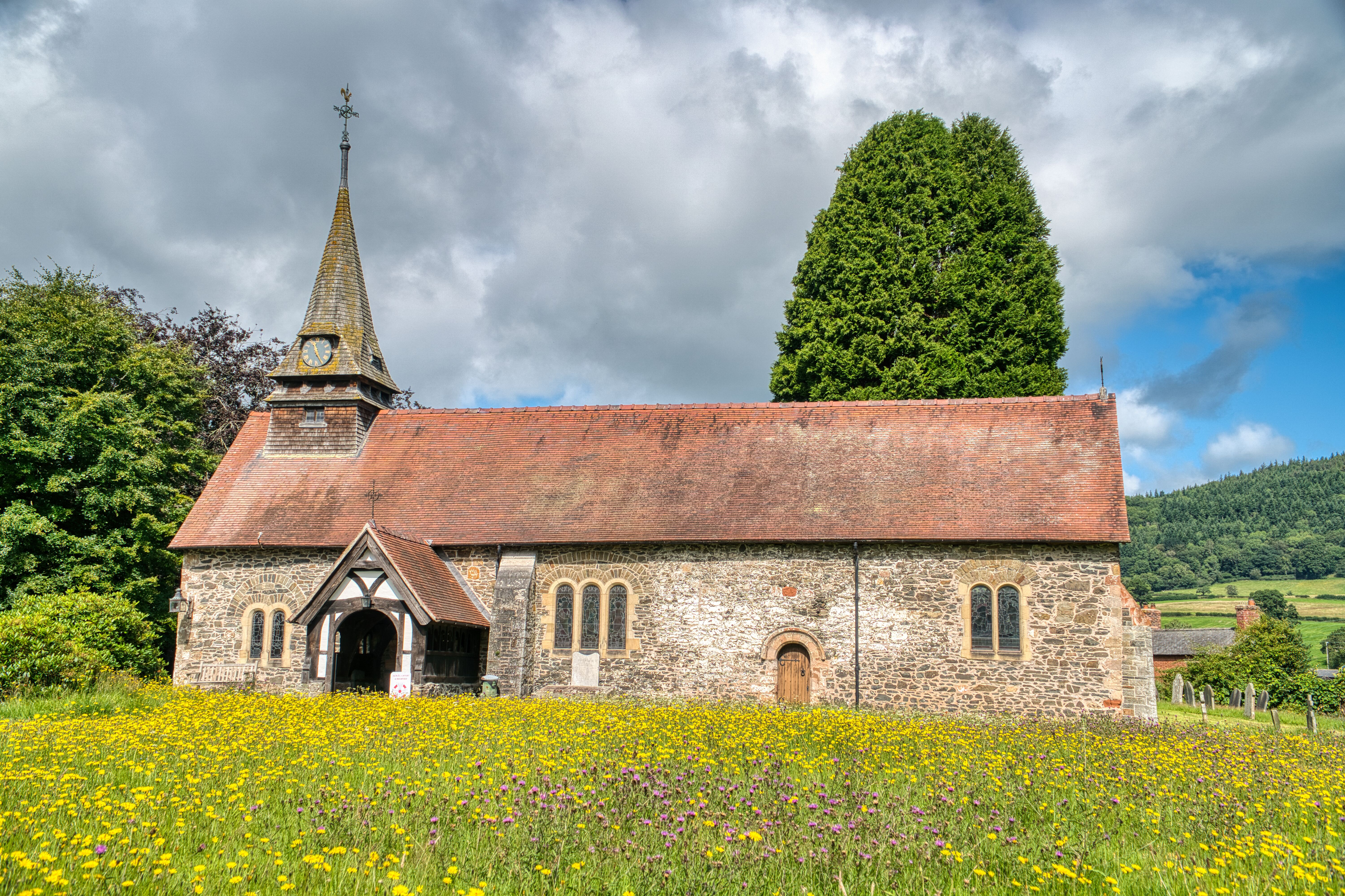
St Garmon's Church, Llanfechain
St Garmon's Church, Llanfechain, is in the village of Llanfechain, Powys, Wales. It is an active Anglican parish church in the deanery of Llanfyllin, the...
Nearby Amenities
Located within 500m of 52.768721,-3.1763322Have you been to Bryn Coch?
Leave your review of Bryn Coch below (or comments, questions and feedback).