Bryncyn Felen
Settlement in Montgomeryshire
Wales
Bryncyn Felen

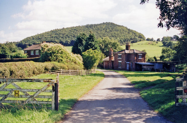
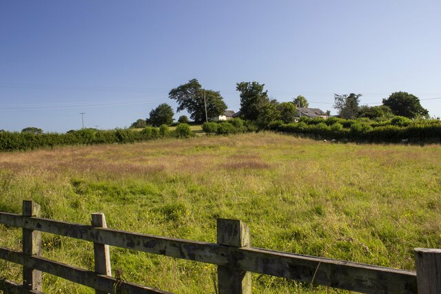
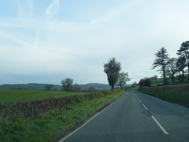
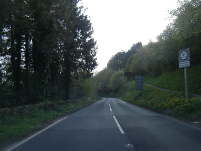
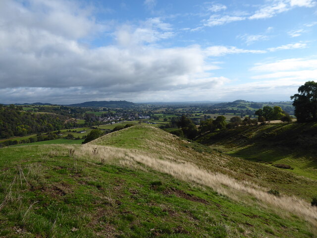
Bryncyn Felen is a small rural settlement located in the county of Montgomeryshire, Wales. Situated in the picturesque Welsh countryside, this tranquil village is surrounded by rolling hills and lush green fields. With a population of around 200 residents, it offers a close-knit community atmosphere.
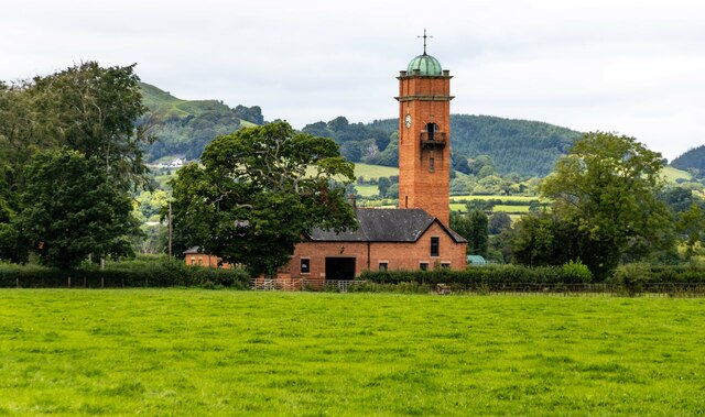
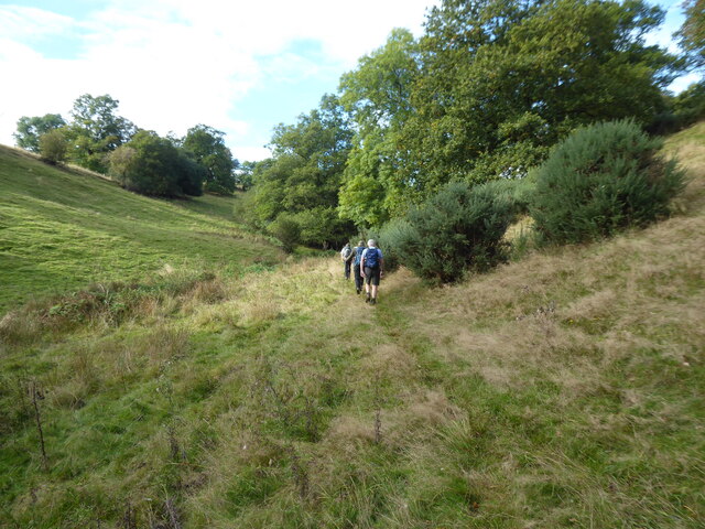
The village itself is characterized by its charming stone cottages and traditional Welsh architecture. It is known for its unspoiled natural beauty and is a popular destination for nature enthusiasts and hikers. The nearby river provides opportunities for fishing and boating, attracting visitors from all over.
Despite its small size, Bryncyn Felen has a strong sense of community spirit, with regular events and activities organized by local residents. The village has a primary school, a pub, and a village hall, serving as a hub for social gatherings and community events.
Agriculture is an important part of the local economy, with many residents engaged in farming and livestock rearing. The village also benefits from tourism, with visitors drawn to its peaceful ambiance and scenic surroundings.
Bryncyn Felen is conveniently located within close proximity to larger towns and cities, providing access to a range of amenities and services. The village offers a peaceful and idyllic lifestyle, making it an attractive place to live for those seeking a slower pace of life and a strong sense of community.
If you have any feedback on the listing, please let us know in the comments section below.
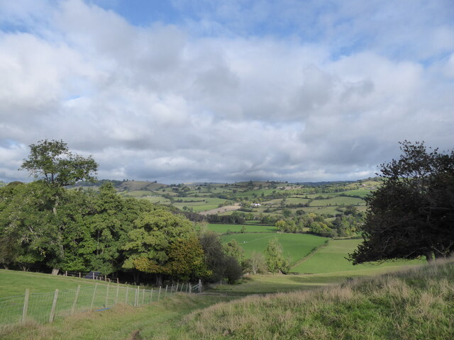
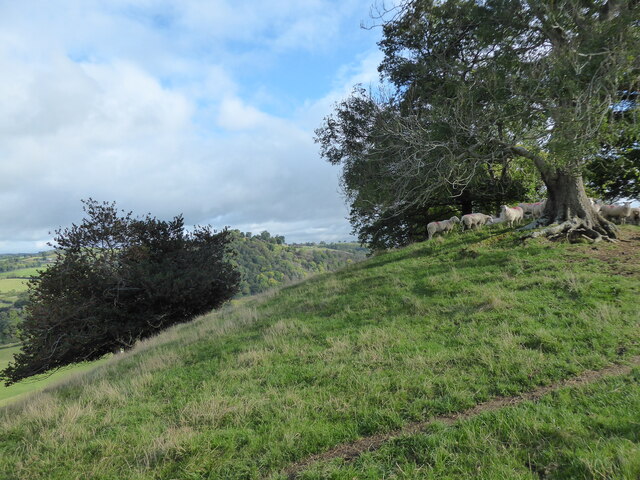
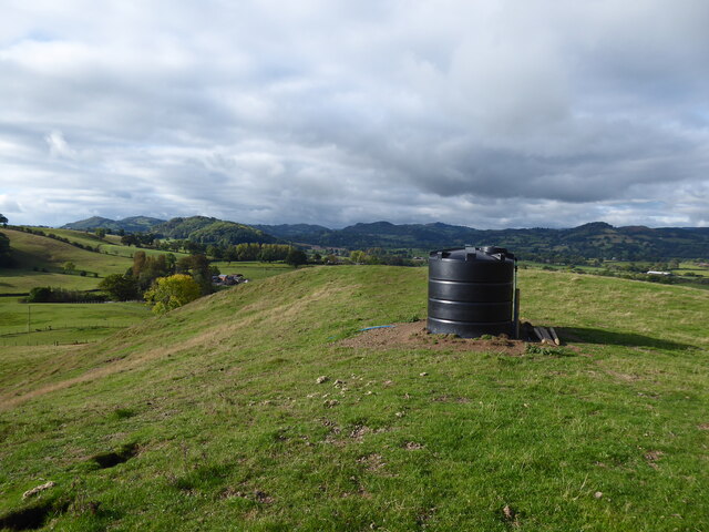
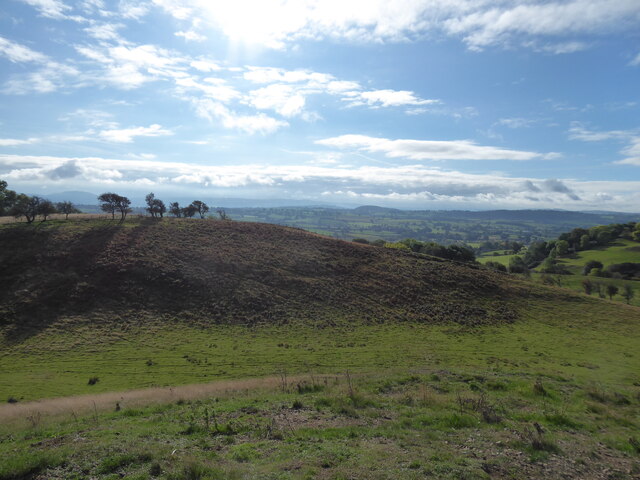
Bryncyn Felen Images
Images are sourced within 2km of 52.76679/-3.184926 or Grid Reference SJ2019. Thanks to Geograph Open Source API. All images are credited.


Bryncyn Felen is located at Grid Ref: SJ2019 (Lat: 52.76679, Lng: -3.184926)
Unitary Authority: Powys
Police Authority: Dyfed Powys
Also known as: Bryncyn-felen
What 3 Words
///alarming.hushed.plod. Near Llanfechain, Powys
Nearby Locations
Related Wikis

Llanfechain railway station
Llanfechain railway station is a former station in Llanfechain, Powys, Wales. The station opened in 1865 and closed in 1965. The station site is now a...

Llanfechain
Llanfechain is a village and community in Powys, Wales, on the B4393 road between Llanfyllin and Llansantffraid-ym-Mechain. Historically it belonged to...

Aithnen
Aithnen is a small settlement in Powys, Wales. It is 10 kilometres (6 mi) southwest of the town of Oswestry. == External links == Aithnen at Streetmap...
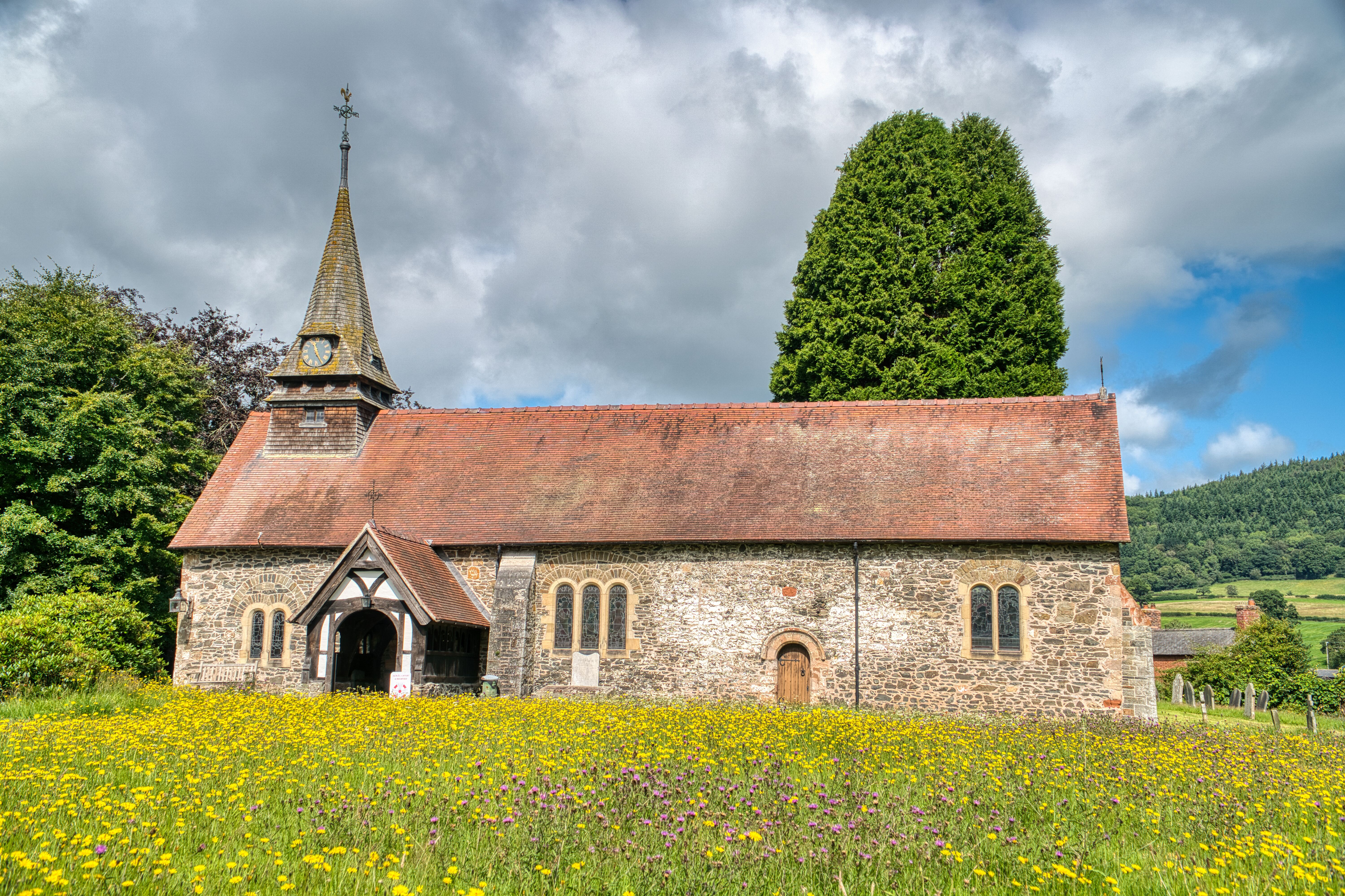
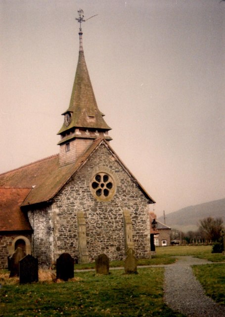
St Garmon's Church, Llanfechain
St Garmon's Church, Llanfechain, is in the village of Llanfechain, Powys, Wales. It is an active Anglican parish church in the deanery of Llanfyllin, the...
Battle of Mechain
The Battle of Mechain was fought in Powys, Wales, in 1070, for rule of the Welsh kingdoms of Gwynedd and Powys. The battlefield may be near Llanfechain...

Llansantffraid-ym-Mechain
Llansantffraid-ym-Mechain is a large village (in the community of Llansantffraid) in Powys, Mid Wales, close to the border with Shropshire in England,...
Deytheur Grammar School
Deytheur Grammar School was opened in 1896 at Llansantffraid-ym-Mechain, Wales. Notable pupils included John Fraser Drummond DFC a Battle of Britain ace...

Recreation Ground, Llansantffraid-ym-Mechain
The Recreation Ground, usually referred to as Treflan, is a football stadium in Llansantffraid-ym-Mechain, Powys, Wales and is the home of Mid Wales League...
Nearby Amenities
Located within 500m of 52.76679,-3.184926Have you been to Bryncyn Felen?
Leave your review of Bryncyn Felen below (or comments, questions and feedback).