Biscombe Wood
Wood, Forest in Somerset Somerset West and Taunton
England
Biscombe Wood
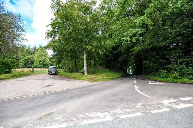
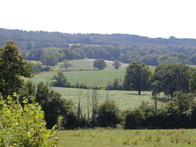
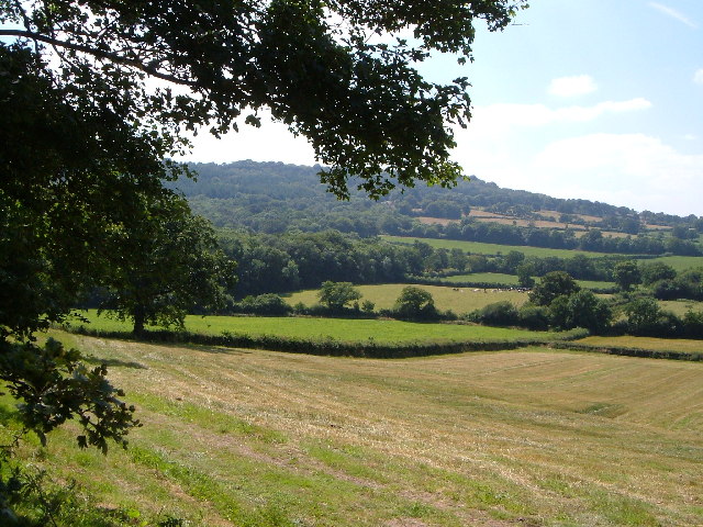
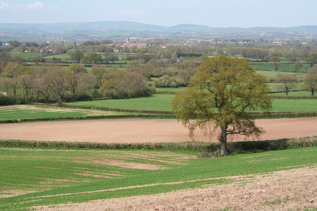
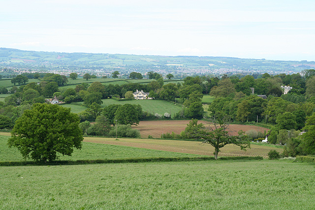
Biscombe Wood is a picturesque woodland area located in Somerset, England. Covering an area of approximately 200 acres, it is a popular destination for nature lovers and outdoor enthusiasts. The wood is situated near the village of Halse, offering visitors a peaceful and serene environment to explore.
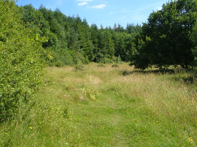
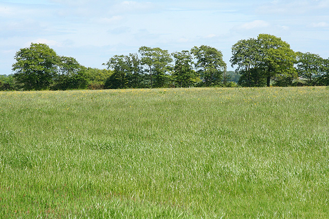
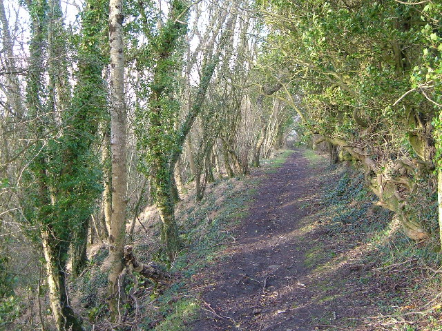
The wood is predominantly composed of native broadleaf trees, including oak, beech, and ash. These tall and majestic trees provide a dense canopy, creating a shaded and cool atmosphere during the summer months. The forest floor is covered in a carpet of wildflowers, adding bursts of color to the landscape.
Biscombe Wood is known for its diverse wildlife, making it a haven for birdwatchers and animal enthusiasts. The wood is home to a variety of bird species, including woodpeckers, nuthatches, and tawny owls. Visitors may also catch a glimpse of mammals such as deer, squirrels, and badgers.
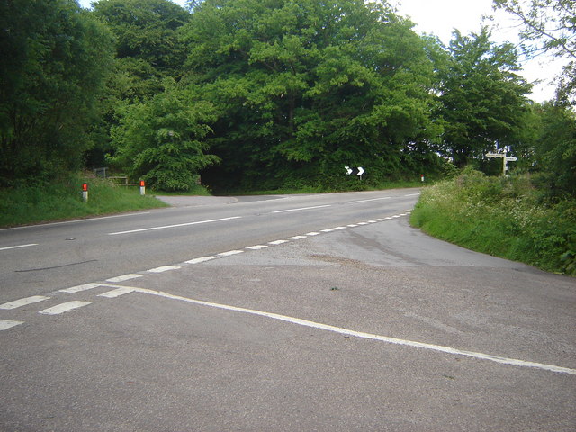
A network of well-maintained trails meanders through Biscombe Wood, providing visitors with the opportunity to explore the area on foot. These paths lead visitors through the heart of the woodland, offering breathtaking views of the surrounding countryside.
The wood is managed by the local council, ensuring its preservation and conservation for future generations to enjoy. There are picnic areas and benches scattered throughout the wood, allowing visitors to rest and take in the natural beauty of the surroundings.
Overall, Biscombe Wood offers a tranquil and enchanting escape from the hustle and bustle of everyday life, providing a slice of nature's paradise in the heart of Somerset.
If you have any feedback on the listing, please let us know in the comments section below.
Biscombe Wood Images
Images are sourced within 2km of 50.947037/-3.1390572 or Grid Reference ST2017. Thanks to Geograph Open Source API. All images are credited.


Biscombe Wood is located at Grid Ref: ST2017 (Lat: 50.947037, Lng: -3.1390572)
Administrative County: Somerset
District: Somerset West and Taunton
Police Authority: Avon and Somerset
What 3 Words
///motels.oxidation.imply. Near Hemyock, Devon
Nearby Locations
Related Wikis

Luxhay Reservoir
Luxhay Reservoir is an artificial reservoir near Angersleigh, Somerset, England. It is now owned by Wessex Water. It was built in 1905 by the town corporation...

Leigh Reservoir
Leigh Reservoir, or Leigh Hill Reservoir, is a small reservoir in Somerset, England. It was built in 1893 to supply water to the town of Taunton, Somerset...

Quants Reserve
Quants Reserve is a nature reserve north west of Burnworthy in Somerset, England. It consists of a grassland clearing in a forestry plantation. It is well...

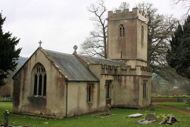
Church of St Michael, Angersleigh
The Anglican Church of St Michael in Angersleigh, Somerset, England was built in the 14th century. It is a Grade II* listed building. == History == The...

RAF Culmhead
Royal Air Force Culmhead or more simply RAF Culmhead is a former Royal Air Force station, situated at Churchstanton on the Blackdown Hills in Somerset...
Prior's Park & Adcombe Wood
Prior's Park & Adcombe Wood (grid reference ST225170) is a 103.6 hectare (256.0 acre) biological Site of Special Scientific Interest south of Pitminster...

Churchstanton
Churchstanton is a village and civil parish in Somerset, England, situated within the Blackdown Hills Area of Outstanding Natural Beauty, on the River...

Ringdown SSSI, Somerset
Ringdown (grid reference ST178155) is a 4.0 hectare (9.9 acre) biological Site of Special Scientific Interest west of Burnworthy in the Blackdown Hills...
Have you been to Biscombe Wood?
Leave your review of Biscombe Wood below (or comments, questions and feedback).