Crag Coppice
Wood, Forest in Cumberland Copeland
England
Crag Coppice
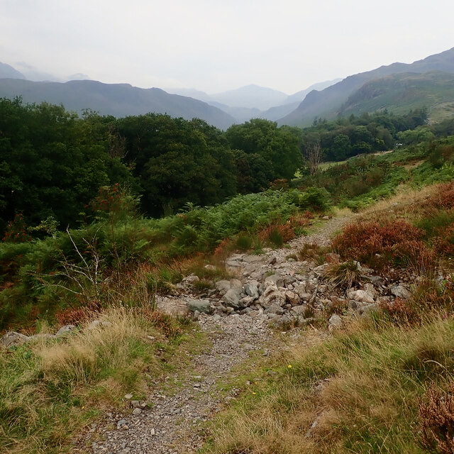
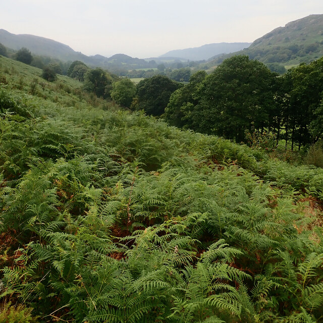
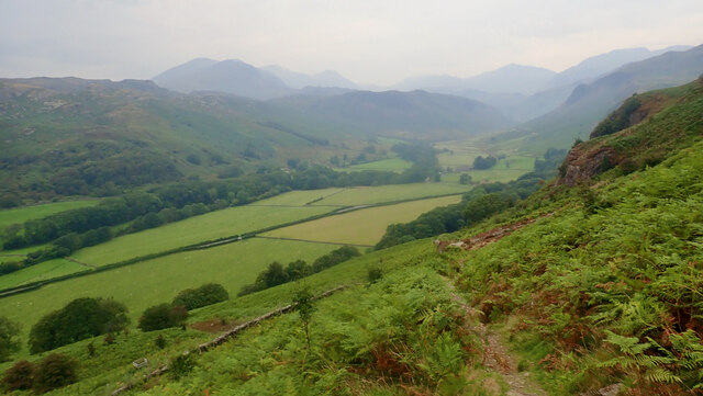
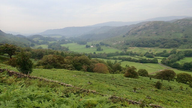
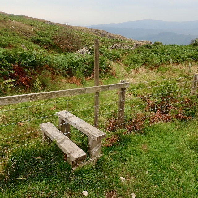
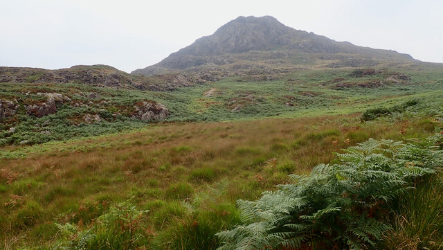
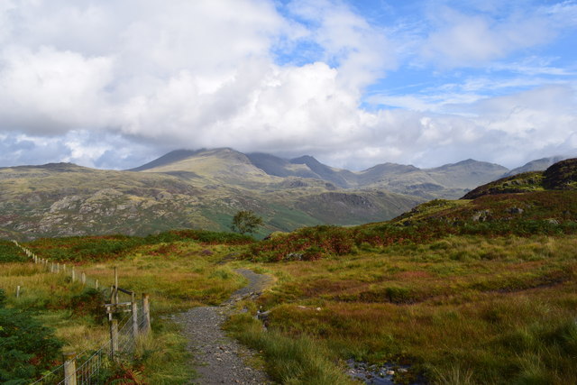
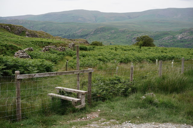
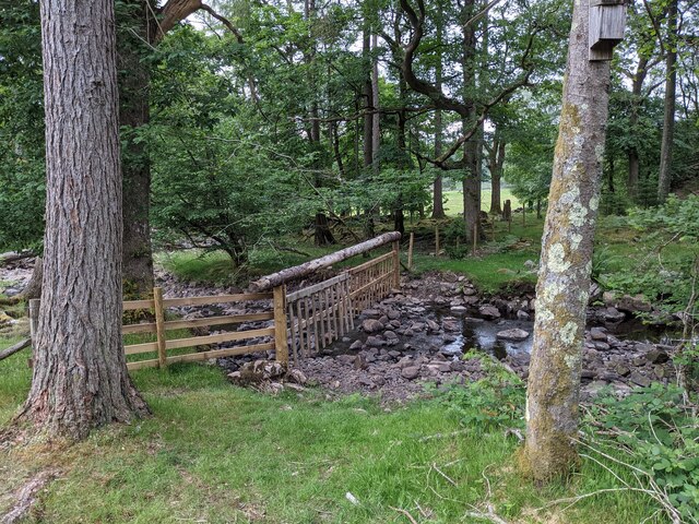
Crag Coppice is a stunning woodland located in the county of Cumberland, in northwest England. With an area spanning approximately 200 acres, this forest is a natural haven for outdoor enthusiasts and nature lovers alike. The woodland is situated on the slopes of a craggy hill, offering breathtaking views of the surrounding countryside.
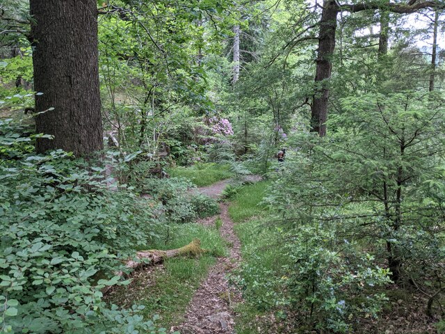
The forest is predominantly composed of native tree species, including oak, birch, and beech trees. These majestic trees create a dense canopy, providing shade and shelter to a diverse range of flora and fauna. The forest floor is covered in a thick layer of moss, ferns, and wildflowers, adding to the enchanting atmosphere of the woodland.
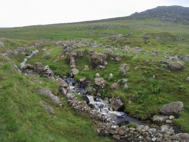
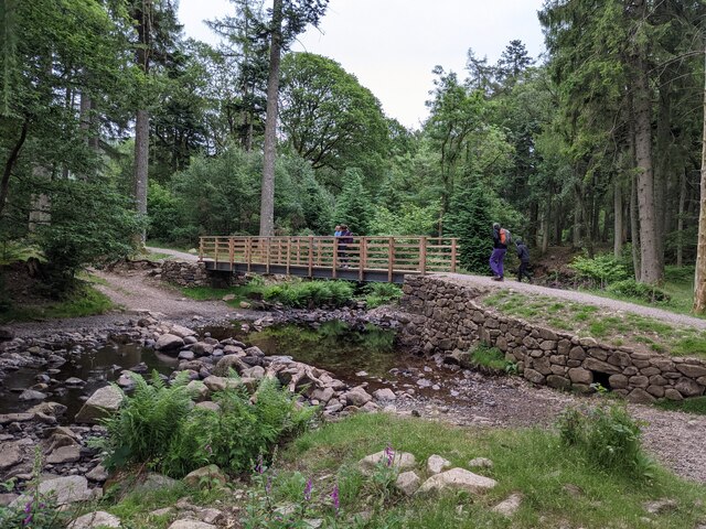
Crag Coppice is home to a variety of wildlife, making it a perfect spot for animal enthusiasts and birdwatchers. Visitors may encounter deer, squirrels, and a wide array of bird species, including woodpeckers and owls. The forest also boasts a small stream that winds its way through the trees, creating a tranquil and serene ambiance.
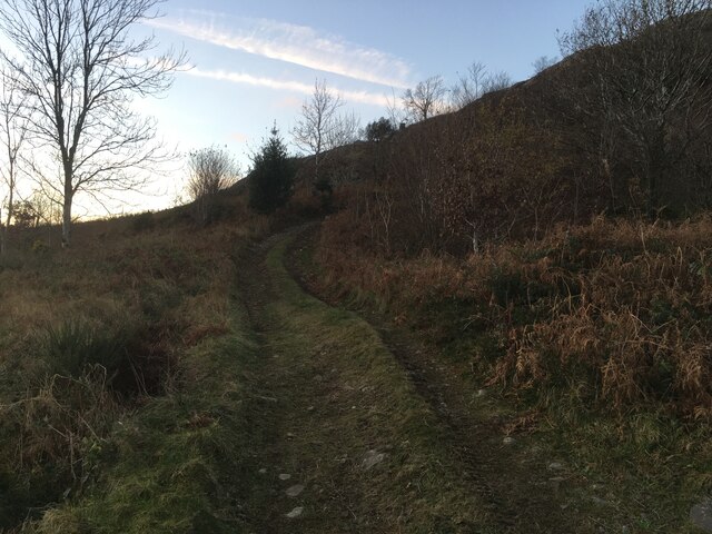
The woodland offers a network of well-maintained trails, allowing visitors to explore its beauty at their own pace. Hikers can embark on scenic walks, while cyclists can enjoy the thrill of riding through the forest on designated paths. Additionally, there are picnic areas and viewpoints strategically placed throughout the woodland, providing opportunities for visitors to rest and soak in the natural surroundings.
Crag Coppice is a true gem of Cumberland, offering a harmonious blend of natural beauty and recreational activities. It is a destination that promises a memorable experience for anyone seeking solace in the embrace of nature.
If you have any feedback on the listing, please let us know in the comments section below.
Crag Coppice Images
Images are sourced within 2km of 54.393476/-3.2467067 or Grid Reference NY1900. Thanks to Geograph Open Source API. All images are credited.


Crag Coppice is located at Grid Ref: NY1900 (Lat: 54.393476, Lng: -3.2467067)
Administrative County: Cumbria
District: Copeland
Police Authority: Cumbria
What 3 Words
///convert.shun.topic. Near Seascale, Cumbria
Nearby Locations
Related Wikis

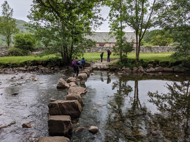
Woolpack walk
The Woolpack Walk is a challenge walk which starts and finishes at the Woolpack Inn, Eskdale in the Lake District of England. The route covers 30 km (18...

Eskdale, Cumbria
Eskdale is a glacial valley and civil parish in the western Lake District National Park in Cumbria, England. It forms part of the Borough of Copeland...
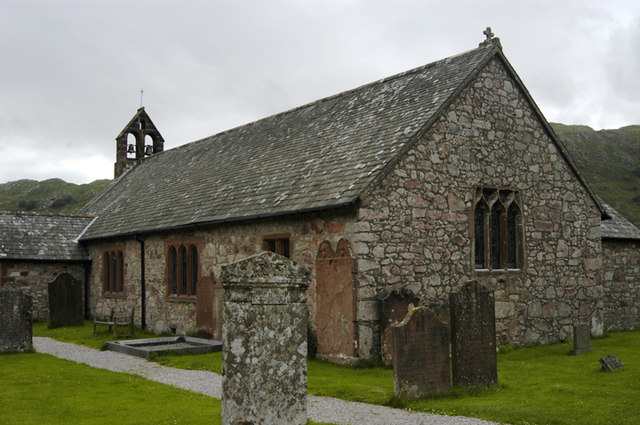
St Catherine's Church, Boot
St Catherine's Church is in the village of Boot, Cumbria, England. It is the Anglican parish church of Eskdale, Cumbria, and is in the deanery of Calder...

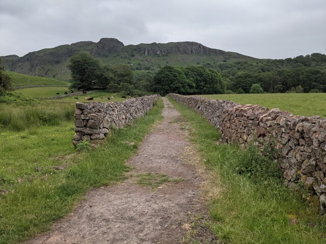
Boot, Cumbria
Boot is a small village in Eskdale, Cumbria, in the Lake District of England. It forms part of the Borough of Copeland. There are two roads from which...

Dalegarth railway station
Dalegarth railway station is the easterly terminus of the 15-inch gauge Ravenglass and Eskdale Railway in Cumbria, England. It has a café and shop for...

Beckfoot railway station
Beckfoot railway station is a railway station on the 15" gauge Ravenglass & Eskdale Railway in Cumbria. It is situated within a 1⁄2 mile (0.80 km) walk...

Green Crag
Green Crag is a fell in the English Lake District. It stands between Eskdale and the Duddon valley in the Southern Fells. == Topography == The headwaters...

Burnmoor stone circles
The Burnmoor Stone Circles are a group of five different approximately 4000-year-old stone circles in Cumbria. They are around 1 mile north of the village...
Nearby Amenities
Located within 500m of 54.393476,-3.2467067Have you been to Crag Coppice?
Leave your review of Crag Coppice below (or comments, questions and feedback).