Knap Plantation
Wood, Forest in Somerset Sedgemoor
England
Knap Plantation
Knap Plantation is a sprawling woodland located in Somerset, England. Situated amidst the picturesque countryside, this plantation covers an area of approximately 300 acres. The woodland is predominantly made up of a mixture of deciduous and coniferous trees, creating a diverse and vibrant ecosystem.
The plantation boasts a rich history that dates back several centuries. It was originally established in the 17th century as a timber plantation, primarily used for the production of timber for construction and fuel. Over the years, the site has undergone various changes and developments, with parts of the woodland being replanted and managed to ensure its sustainability.
Knap Plantation offers a tranquil and serene environment, attracting nature enthusiasts, hikers, and wildlife photographers alike. The woodland is home to a wide variety of flora and fauna, including oak, beech, and birch trees, as well as an array of wildflowers and ferns. It is not uncommon to spot deer, foxes, squirrels, and various bird species while exploring the plantation.
The plantation also features several well-maintained walking trails, allowing visitors to immerse themselves in the natural beauty of the surroundings. These paths wind through the woodland, offering stunning views of the tree canopy and glimpses of the local wildlife.
Knap Plantation is a popular destination for both locals and tourists seeking a peaceful retreat away from the bustling city life. Its scenic beauty, historical significance, and ecological diversity make it a must-visit location for anyone interested in exploring the natural wonders of Somerset.
If you have any feedback on the listing, please let us know in the comments section below.
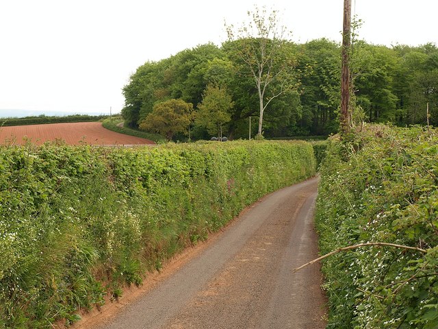
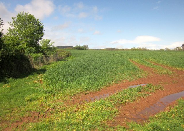
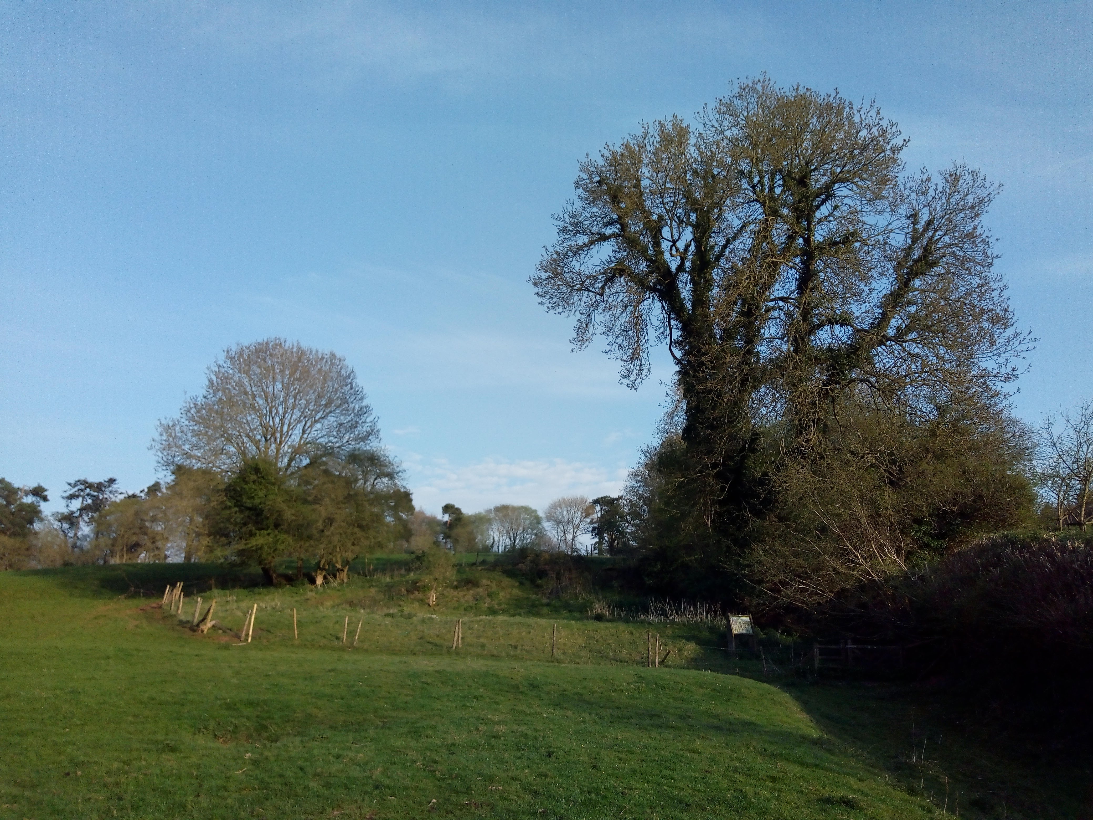
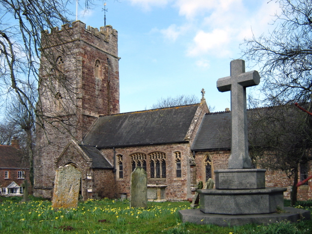
Knap Plantation Images
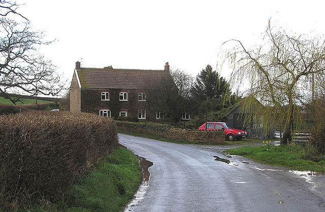
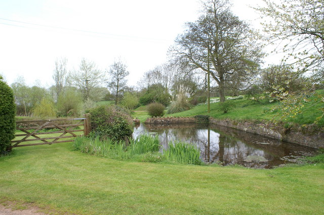
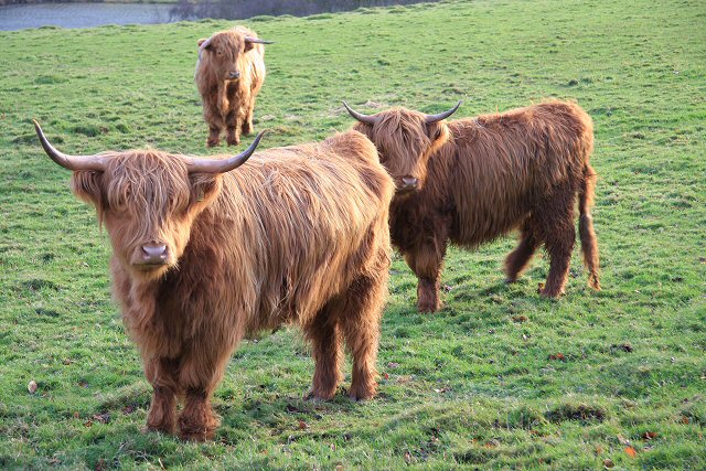
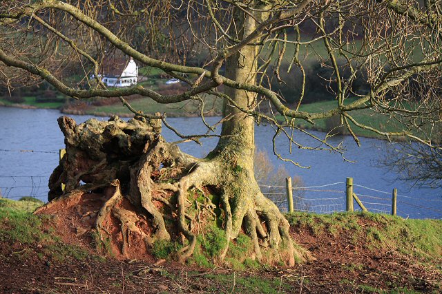
Images are sourced within 2km of 51.131759/-3.1567171 or Grid Reference ST1937. Thanks to Geograph Open Source API. All images are credited.


Knap Plantation is located at Grid Ref: ST1937 (Lat: 51.131759, Lng: -3.1567171)
Administrative County: Somerset
District: Sedgemoor
Police Authority: Avon and Somerset
What 3 Words
///buzzards.couriers.limo. Near Nether Stowey, Somerset
Nearby Locations
Related Wikis

Quantock Lodge
Quantock Lodge is a grade II listed nineteenth-century Gothic revival mansion built by Henry Labouchere, 1st Baron Taunton (1798–1869), to the design of...
Adscombe Chapel
Adscombe Chapel: The site and remains of a medieval chapel, located 280 metres (920 ft) east of Adscombe Farm in Somerset, UK, situated on the north-west...

William Holland (diarist)
William Holland (9 May 1746 – 17 April 1819) is now best remembered for his diary, which he kept from 1799 to 1818. == Diary == The diary chronicles his...
Church of St Peter and St Paul, Over Stowey
Church Of St Peter And St Paul in Over Stowey, Somerset, England, is the Anglican parish church for the ancient parish of Over Stowey, now part of the...

Plainsfield Camp
Plainsfield Camp (or Park Plantation or Cockercombe Castle) is a possible Iron Age earthwork on the Quantock Hills near Aisholt in Somerset, England.The...

Stowey Castle
Stowey Castle (or Nether Stowey Castle known locally as The Mount) was a Norman motte-and-bailey castle, built in the 11th century, in the village of Nether...
Church of All Saints, Aisholt
All Saints Church in Aisholt, Somerset, England, is the Anglican parish church for the ancient parish of Aisholt, now part of the Quantock Villages Benefice...

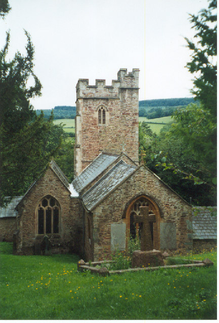
Church of St Mary the Virgin, Nether Stowey
The Anglican Church of St Mary the Virgin in Nether Stowey in the English county of Somerset has a 15th-century tower, with the remainder of the church...
Related Videos

Walking the Castles and Coast Way
Monday 3rd May 2021 On this day, I had plans to head down to Exmoor for the first time in months... But a poor weather forecast ...
Hiking in autumn rain | Autumn marvellous colours | Hike and Explore
Hiking in autumn rain | Autumn marvellous colours | Hike and Explore Keep calm and hike and explore Ps: Subscribe to my ...

Quantock Hills are calling | HOUK | Travel Video | Sony A7III 16-35 f4 DJI Mavic 2 Pro DJI Ronin SC
Quantock Hills are calling Quantock Hills. Somerset England Travel Video HOUK We are one. Marcin Medard Jankowski and ...

Walking in the woods
Upstream walk at Great Wood, Quantocks, Somerset.
Nearby Amenities
Located within 500m of 51.131759,-3.1567171Have you been to Knap Plantation?
Leave your review of Knap Plantation below (or comments, questions and feedback).