Eskdale
Valley in Cumberland Copeland
England
Eskdale
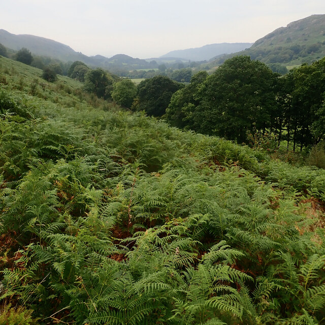
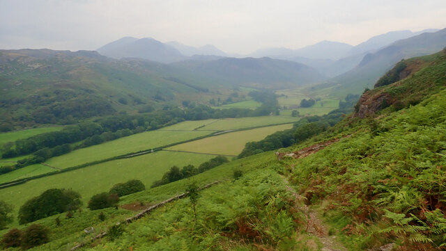
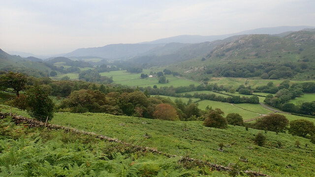
Eskdale, also known as Eskdale Valley, is a picturesque region located in the county of Cumberland in northwestern England. Situated within the Lake District National Park, Eskdale is renowned for its stunning natural beauty and offers visitors a tranquil and idyllic escape from the hustle and bustle of urban life.
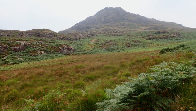
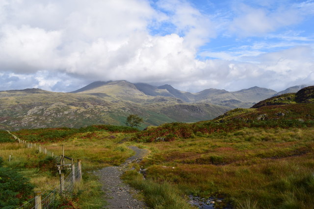
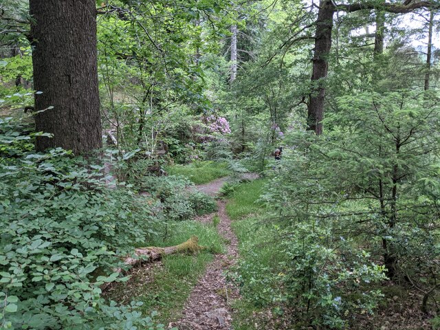
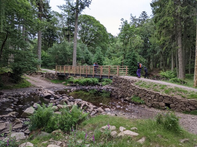
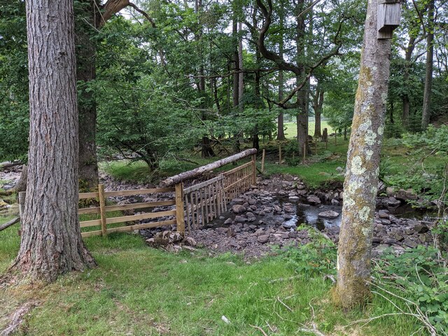
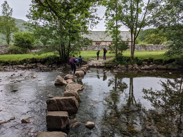
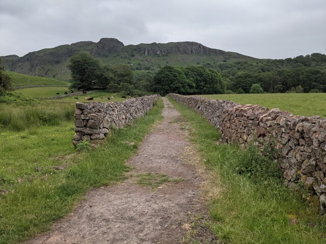
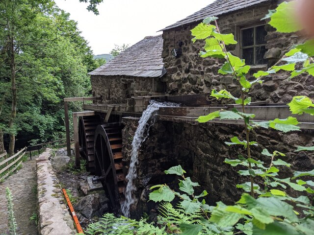
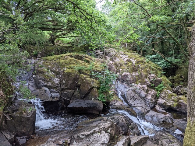
The valley is characterized by its lush green hills, gentle flowing rivers, and charming villages. It is surrounded by towering mountains, including Scafell Pike, the highest peak in England. The landscape is dotted with dense forests, sparkling streams, and cascading waterfalls, creating a haven for hikers, nature enthusiasts, and photographers.
Eskdale is also home to several historical landmarks and attractions. One notable attraction is the Ravenglass and Eskdale Railway, a narrow-gauge steam railway that winds its way through the valley, offering breathtaking views of the surrounding countryside. The railway, affectionately known as the "La'al Ratty," is a popular tourist attraction, drawing visitors from far and wide.
The valley is also rich in history, with evidence of human settlement dating back thousands of years. There are several ancient sites and ruins to explore, such as Hardknott Roman Fort, which was built by the Romans in the 2nd century AD.
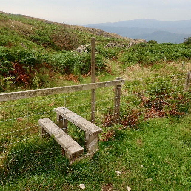
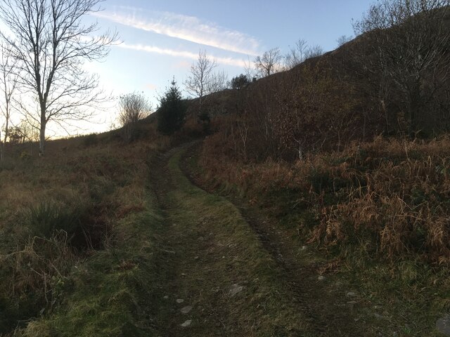
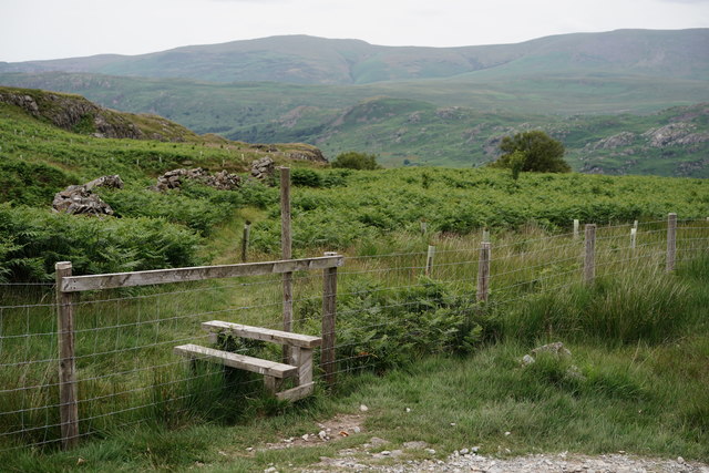
Eskdale offers a range of outdoor activities, including hiking, cycling, fishing, and wildlife spotting. The valley is home to a diverse range of flora and fauna, with rare species such as red squirrels and ospreys making their homes here.
Overall, Eskdale, Cumberland is a captivating destination that offers a perfect blend of natural beauty, history, and outdoor adventure. Whether you are seeking a peaceful retreat or an active getaway, this charming valley has something to offer everyone.
If you have any feedback on the listing, please let us know in the comments section below.
Eskdale Images
Images are sourced within 2km of 54.396438/-3.2480134 or Grid Reference NY1900. Thanks to Geograph Open Source API. All images are credited.


Eskdale is located at Grid Ref: NY1900 (Lat: 54.396438, Lng: -3.2480134)
Administrative County: Cumbria
District: Copeland
Police Authority: Cumbria
What 3 Words
///bends.feelers.registers. Near Seascale, Cumbria
Nearby Locations
Related Wikis

Woolpack walk
The Woolpack Walk is a challenge walk which starts and finishes at the Woolpack Inn, Eskdale in the Lake District of England. The route covers 30 km (18...

Eskdale, Cumbria
Eskdale is a glacial valley and civil parish in the western Lake District National Park in Cumbria, England. It forms part of the Borough of Copeland...

Boot, Cumbria
Boot is a small village in Eskdale, Cumbria, in the Lake District of England. It forms part of the Borough of Copeland. There are two roads from which...
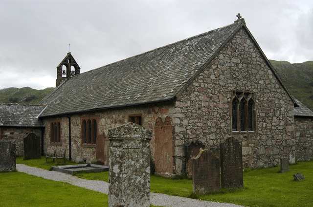
St Catherine's Church, Boot
St Catherine's Church is in the village of Boot, Cumbria, England. It is the Anglican parish church of Eskdale, Cumbria, and is in the deanery of Calder...

Dalegarth railway station
Dalegarth railway station is the easterly terminus of the 15-inch gauge Ravenglass and Eskdale Railway in Cumbria, England. It has a café and shop for...

Burnmoor stone circles
The Burnmoor Stone Circles are a group of five different approximately 4000-year-old stone circles in Cumbria. They are around 1 mile north of the village...

Beckfoot railway station
Beckfoot railway station is a railway station on the 15" gauge Ravenglass & Eskdale Railway in Cumbria. It is situated within a 1⁄2 mile (0.80 km) walk...

Blea Tarn (Eskdale)
Blea Tarn is a lake in Cumbria, England, located about half a mile north of Beckfoot. Located at an elevation of 217 m (712 ft), the lake has an area...
Nearby Amenities
Located within 500m of 54.396438,-3.2480134Have you been to Eskdale?
Leave your review of Eskdale below (or comments, questions and feedback).