Combe Copse

Wood, Forest in Devon Somerset West and Taunton

England

Combe Copse

Pitminster : Woodland Woodland seen off Blackdown Hill.
Pitminster : Woodland Credit: Lewis Clarke

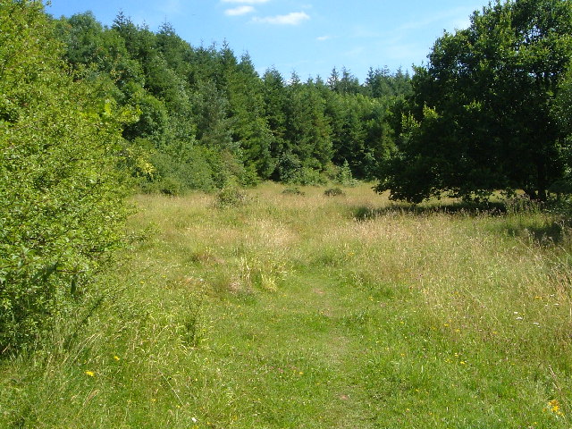
Combe Copse is a picturesque woodland located in Devon, England. It is situated in the heart of the county, near the town of Honiton. The copse covers an area of approximately 50 acres and is renowned for its natural beauty and diverse ecosystem.

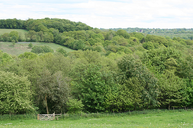
The woodland is predominantly comprised of deciduous trees, including oak, beech, and ash. These majestic trees create a dense canopy, which provides shade and shelter for a wide variety of flora and fauna. The forest floor is carpeted with a rich undergrowth of ferns, bluebells, and wild garlic, adding to the enchanting atmosphere of the copse.

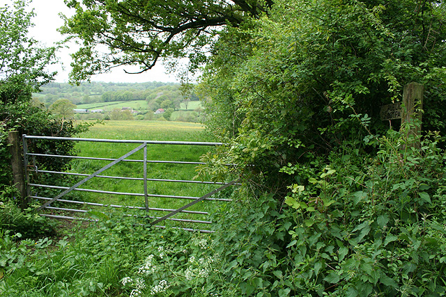
Combe Copse is crisscrossed by a network of well-maintained footpaths, allowing visitors to explore the woodland and enjoy its tranquil ambiance. These paths wind through the trees, offering glimpses of sunlight filtering through the foliage and creating a play of light and shadow.

The copse is home to a diverse range of wildlife, including deer, foxes, and a variety of bird species. Nature enthusiasts often visit the woodland to observe and appreciate these creatures in their natural habitat. Photographers are also drawn to Combe Copse, as it offers countless opportunities to capture stunning images of the sublime beauty of nature.

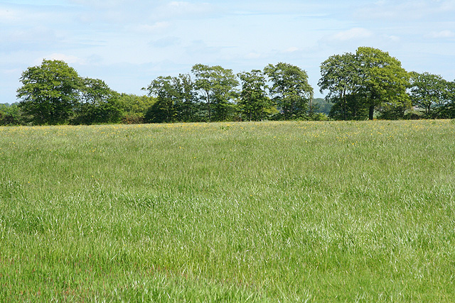
Combe Copse is a popular destination for outdoor activities such as walking, hiking, and birdwatching. Its accessibility and proximity to Honiton make it an ideal location for both locals and tourists to immerse themselves in the tranquility and natural splendor of Devon's woodlands.

If you have any feedback on the listing, please let us know in the comments section below.
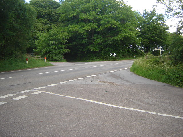
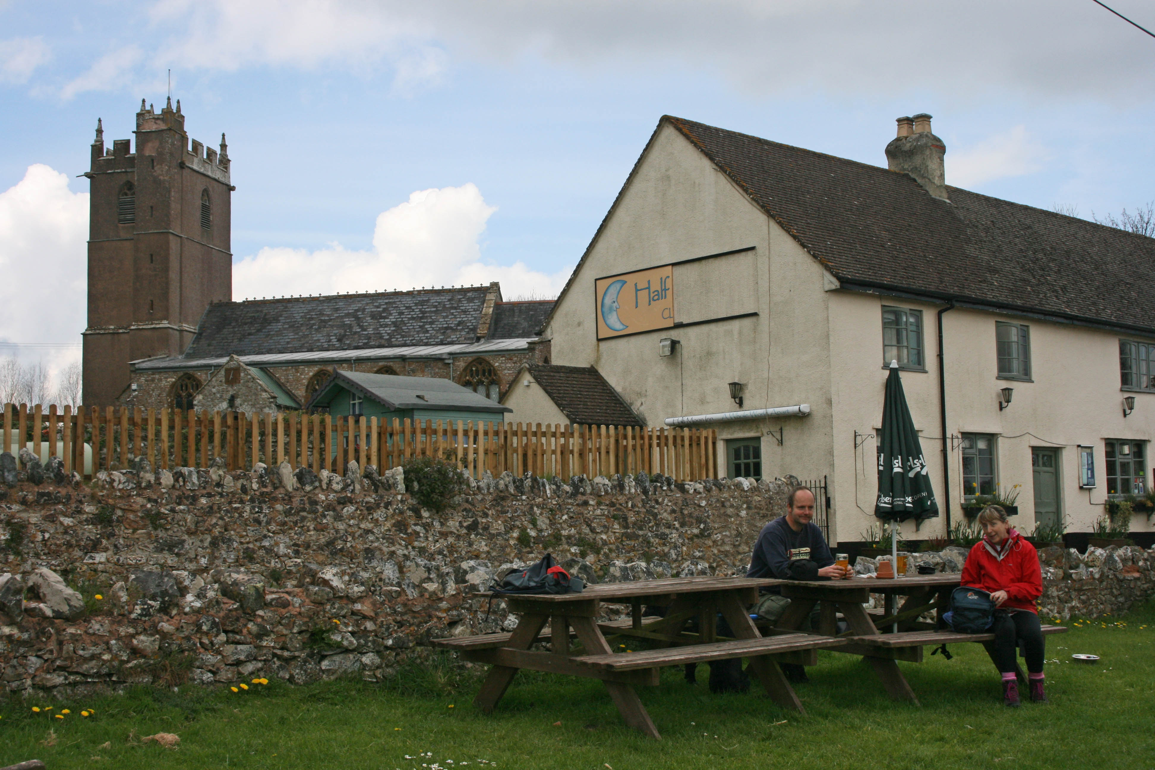
Combe Copse Images

Images are sourced within 2km of 50.930255/-3.1592238 or Grid Reference ST1815. Thanks to Geograph Open Source API. All images are credited.

Pitminster : Woodland Woodland seen off Blackdown Hill.
Pitminster : Woodland
Woodland seen off Blackdown Hill.
Pitminster : Blackdown Hill Looking along the road.
Pitminster : Blackdown Hill
Looking along the road.
Pitminster : Blackdown Hill Looking along Blackdown Hill.
Pitminster : Blackdown Hill
Looking along Blackdown Hill.
Pitminster : Track A track heading off Blackdown Hill to Sheep Wash.
Pitminster : Track
A track heading off Blackdown Hill to Sheep Wash.
Churchstanton: Stapley Mill A 19th century watermill and millers house now combined in one residence. The course of the leat is still evident in the garden. Looking north east
Churchstanton: Stapley Mill
A 19th century watermill and millers house now combined in one residence. The course of the leat is still evident in the garden. Looking north east
Churchstanton:  church of St Peter and St Paul Tower of the parish church seen from the north west
Churchstanton: church of St Peter and St Paul
Tower of the parish church seen from the north west
Churchstanton: lane to Court Farm Looking west-north-west
Churchstanton: lane to Court Farm
Looking west-north-west
Churchstanton: near Courtsmoor Farm Start of a public footpath providing a shortcut across fields. Lear’s Farm in the distance. The public footpath sign is almost lost amongst the foliage
Churchstanton: near Courtsmoor Farm
Start of a public footpath providing a shortcut across fields. Lear’s Farm in the distance. The public footpath sign is almost lost amongst the foliage
Churchstanton: Ringdown Nature Reserve A 59-acre site acquired by the Somerset Wildlife Trust in 1998. It runs down to a tributary of the river Culm. The estate includes wet woodland, marshy grassland, spring line mire and improved grassland. Orchids and butterwort feature together with devils bit scabious and bog asphodel. Woodcock and snipe can be seen here in the winter
Churchstanton: Ringdown Nature Reserve
A 59-acre site acquired by the Somerset Wildlife Trust in 1998. It runs down to a tributary of the river Culm. The estate includes wet woodland, marshy grassland, spring line mire and improved grassland. Orchids and butterwort feature together with devils bit scabious and bog asphodel. Woodcock and snipe can be seen here in the winter
Churchstanton: Downlands Lane Looking north
Churchstanton: Downlands Lane
Looking north
Pitminster: road by Mount Pleasant This route links Wellington with the A303 at Yarcombe and for much of its length runs in a series of straight sections. The bends at Mount Pleasant are untypical. Looking east-south-east
Pitminster: road by Mount Pleasant
This route links Wellington with the A303 at Yarcombe and for much of its length runs in a series of straight sections. The bends at Mount Pleasant are untypical. Looking east-south-east
Clayhidon: footpath to Ringdown Common Seen from Applehayes Lane and looking east over the Wiltown Valley. Brimley Hill is in the distance, right
Clayhidon: footpath to Ringdown Common
Seen from Applehayes Lane and looking east over the Wiltown Valley. Brimley Hill is in the distance, right
Clayhidon: Hidewood Lane ford The ford through the river Culm marks the parish boundary with Churchstanton and the county boundary between Devon and Somerset. Looking south east
Clayhidon: Hidewood Lane ford
The ford through the river Culm marks the parish boundary with Churchstanton and the county boundary between Devon and Somerset. Looking south east
Churchstanton: former inn Shown as a public house on the Ordnance Survey 1:25,000 map (1987 edition), but clearly the buildings have seen better days. Together with the church and rectory this building once formed the centre of the parish; in fact Stapley, within the parish, is really more of a focus for the place. Looking east-north-east
Churchstanton: former inn
Shown as a public house on the Ordnance Survey 1:25,000 map (1987 edition), but clearly the buildings have seen better days. Together with the church and rectory this building once formed the centre of the parish; in fact Stapley, within the parish, is really more of a focus for the place. Looking east-north-east
Clayhidon: by the entrance to Great Garlandhayes Farm Looking east-north-east on the lane from Bearpark Corner
Clayhidon: by the entrance to Great Garlandhayes Farm
Looking east-north-east on the lane from Bearpark Corner
Churchstanton: Trickey Warren Lane A public bridleway. Looking east-south-east
Churchstanton: Trickey Warren Lane
A public bridleway. Looking east-south-east
Churchstanton: Ring Down Typical upland scenery on the Blackdown Hills. Looking east-south-east
Churchstanton: Ring Down
Typical upland scenery on the Blackdown Hills. Looking east-south-east
Five-road cross roads at Forches Corner
Show me another place!

Combe Copse is located at Grid Ref: ST1815 (Lat: 50.930255, Lng: -3.1592238)

Administrative County: Somerset

District: Somerset West and Taunton

Police Authority: Avon and Somerset

What 3 Words

///variances.conga.frock. Near Hemyock, Devon

Related Wikis

Ringdown SSSI, Somerset

Ringdown (grid reference ST178155) is a 4.0 hectare (9.9 acre) biological Site of Special Scientific Interest west of Burnworthy in the Blackdown Hills...

Churchstanton

Churchstanton is a village and civil parish in Somerset, England, situated within the Blackdown Hills Area of Outstanding Natural Beauty, on the River...

RAF Culmhead

Royal Air Force Culmhead or more simply RAF Culmhead is a former Royal Air Force station, situated at Churchstanton on the Blackdown Hills in Somerset...

Quants Reserve

Quants Reserve is a nature reserve north west of Burnworthy in Somerset, England. It consists of a grassland clearing in a forestry plantation. It is well...

Clayhidon

Clayhidon () is a village and civil parish in Mid Devon, England. The parish church is St. Andrews. The parish is in the Blackdown Hills and its northern...

Leigh Reservoir

Leigh Reservoir, or Leigh Hill Reservoir, is a small reservoir in Somerset, England. It was built in 1893 to supply water to the town of Taunton, Somerset...

Luxhay Reservoir

Luxhay Reservoir is an artificial reservoir near Angersleigh, Somerset, England. It is now owned by Wessex Water. It was built in 1905 by the town corporation...

Church of St Leonard, Otterford

The Anglican Church of St Leonard in Otterford, Somerset, England was built in the 14th century. It is a Grade II* listed building. == History == The church...

Related Videos

Kingsmead Centre Video #1 - Glamping and Camping in Devon UK

Kingsmead Centre Video #1 - Glamping and Camping in Devon UK ➦ Follow our Instagram ...

WELCOME TO KINGSMEAD CAMPING / Camping - Glamping - Self Catering

WELCOME TO KINGSMEAD CAMPING / Camping - Glamping - Self Catering. In the heart of the Somerset/Devon countryside, this ...

How we pitch up our tent!

That's just a 5 mins timelapse but in reality it took us a bit longer than expected hahaha so obsessed in cleaning the ground sheet ...

Westcroft Lodge

Westcroft Lodge is a holiday let shortly to be listed on AirBnB.

Nearby Amenities

Located within 500m of 50.930255,-3.1592238
The data included in this document is from www.openstreetmap.org. The data is made available under ODbL.

Have you been to Combe Copse?

Leave your review of Combe Copse below (or comments, questions and feedback).