Portman Copse
Wood, Forest in Somerset Somerset West and Taunton
England
Portman Copse

Portman Copse is a picturesque woodland located in Somerset, England. Covering an area of approximately 20 acres, it is a popular destination for nature enthusiasts and those seeking a tranquil retreat. The copse is situated near the village of Portman, surrounded by rolling hills and idyllic countryside.
The woodland is predominantly composed of native tree species, including oak, beech, and ash. These majestic trees provide a dense canopy, creating a cool and shaded environment beneath. The forest floor is covered in a lush carpet of ferns, mosses, and wildflowers, adding to the enchanting atmosphere.
Portman Copse is inhabited by a variety of wildlife, making it a haven for animal lovers and birdwatchers. Visitors may spot deer, foxes, and badgers roaming freely, while the air is filled with the melodies of songbirds such as blackbirds and robins. The copse also serves as a breeding ground for several species of butterflies and insects, adding to the biodiversity of the area.
The woodland is crisscrossed by a network of walking trails, allowing visitors to explore its beauty at their own pace. These paths wind through the trees, revealing hidden glades and babbling brooks along the way. The copse is well-maintained, with wooden benches and picnic spots strategically placed for visitors to rest and enjoy the surroundings.
Overall, Portman Copse offers a tranquil and enchanting experience for nature lovers. Its diverse flora and fauna, coupled with its serene atmosphere, make it a must-visit destination for anyone seeking to escape the hustle and bustle of everyday life and immerse themselves in the beauty of the natural world.
If you have any feedback on the listing, please let us know in the comments section below.
Portman Copse Images
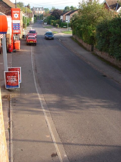
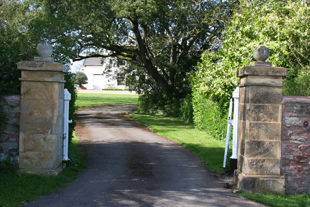
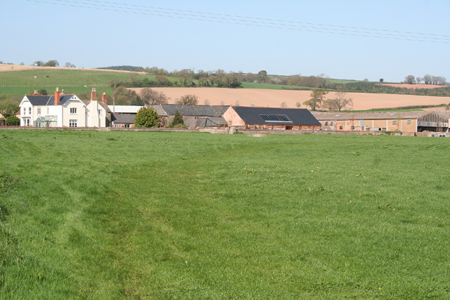
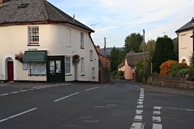
Images are sourced within 2km of 51.057091/-3.1625175 or Grid Reference ST1829. Thanks to Geograph Open Source API. All images are credited.


Portman Copse is located at Grid Ref: ST1829 (Lat: 51.057091, Lng: -3.1625175)
Administrative County: Somerset
District: Somerset West and Taunton
Police Authority: Avon and Somerset
What 3 Words
///ankle.adding.exchanges. Near Bishops Lydeard, Somerset
Nearby Locations
Related Wikis

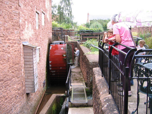
Bishops Lydeard Mill and Rural Life Museum
The Bishops Lydeard Mill and Rural Life Museum is a historic building and museum in Bishops Lydeard, Somerset, England. The building dates from the 18th...
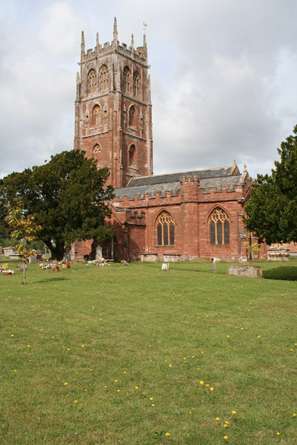
Bishops Lydeard
Bishops Lydeard () is a village and civil parish located in Somerset, England, 5 miles (8 km) north-west of Taunton. The civil parish encompasses the hamlets...

Bishops Lydeard A.F.C.
Bishops Lydeard Association Football Club is a football club based in Bishops Lydeard, near Taunton, in Somerset, England. They are currently members of...
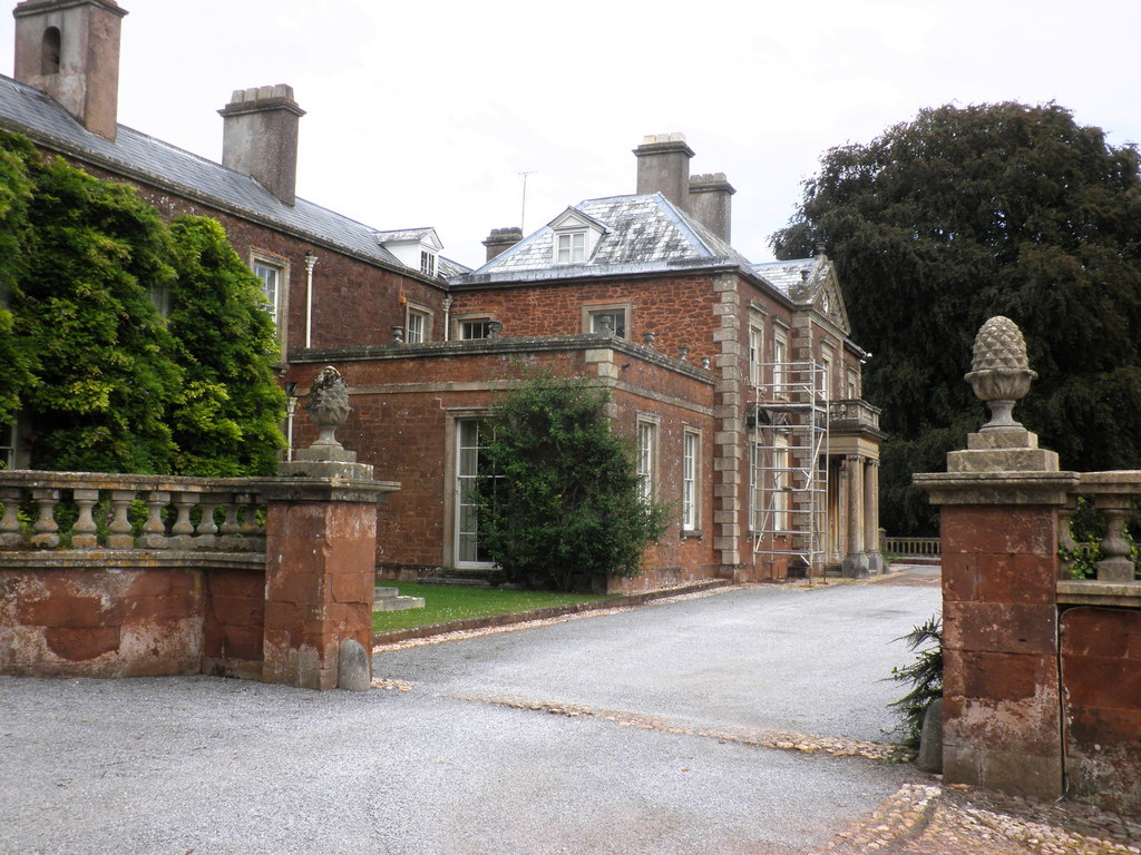
Lydeard House
Lydeard House in Bishops Lydeard, Somerset, England was built in the mid 18th century. It is a Grade II* listed building. == History == Lydeard House was...
Nearby Amenities
Located within 500m of 51.057091,-3.1625175Have you been to Portman Copse?
Leave your review of Portman Copse below (or comments, questions and feedback).