Great Coppice

Wood, Forest in Cumberland Copeland

England

Great Coppice

Farm track near Wha House Farm
Farm track near Wha House Farm Credit: Steven Brown

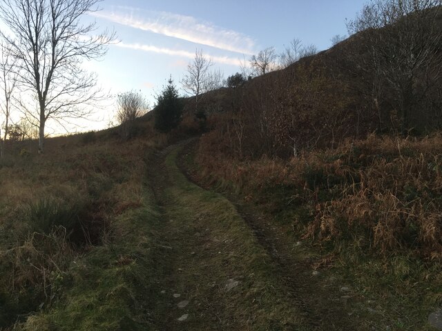
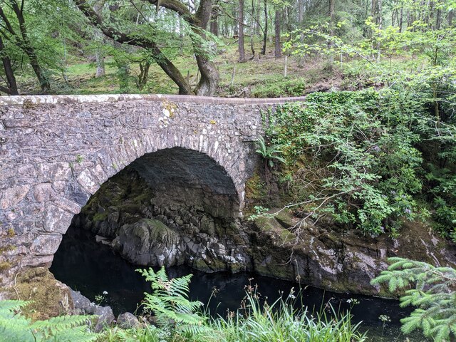
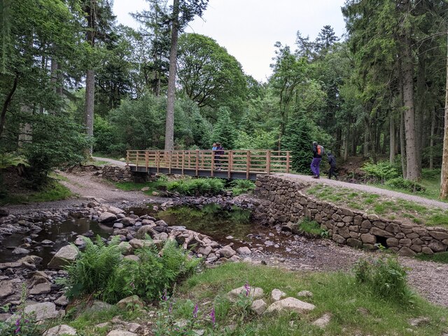
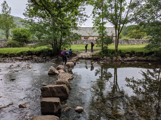
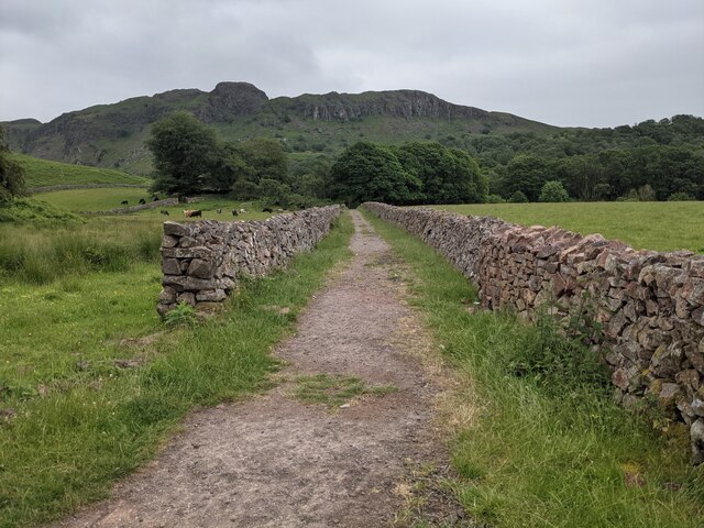
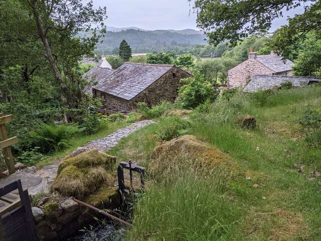
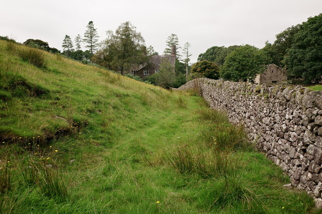
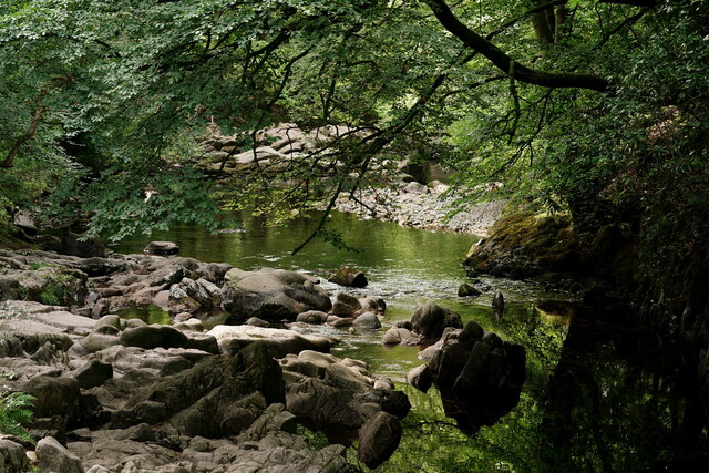
Great Coppice is a vast woodland located in Cumberland, a county in North West England. Stretching over an area of approximately 500 acres, it is known for its diverse range of tree species and abundant wildlife. The forest is situated near the village of Copeland and is easily accessible by a network of well-maintained walking trails.

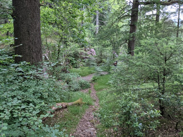
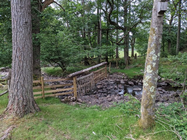
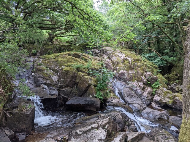
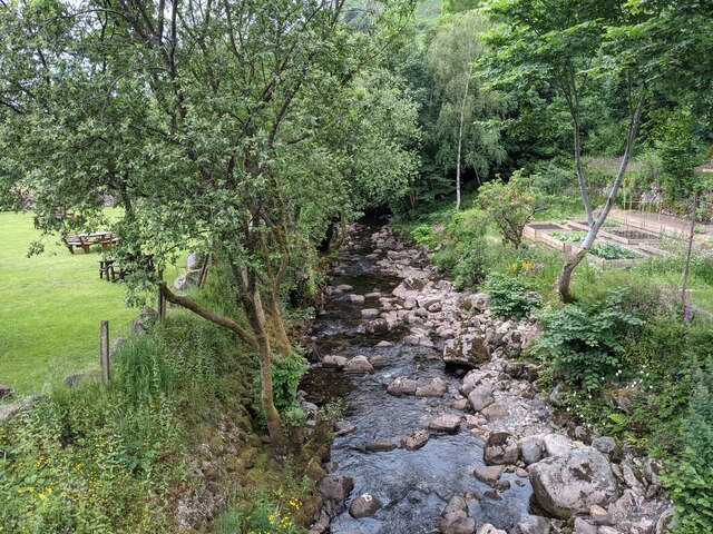
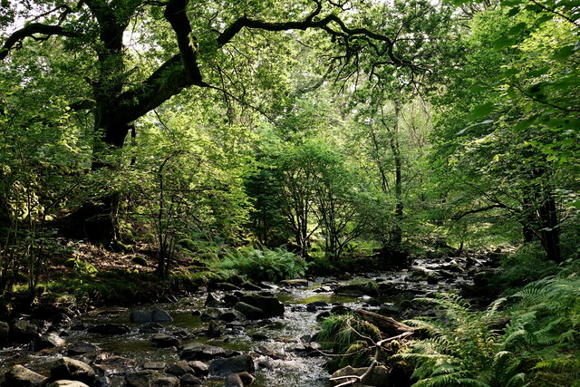
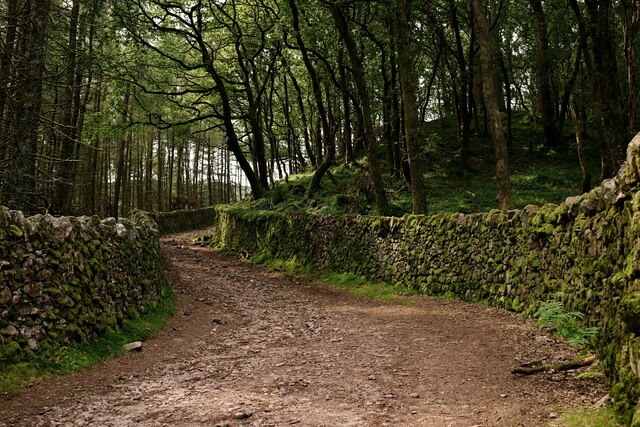
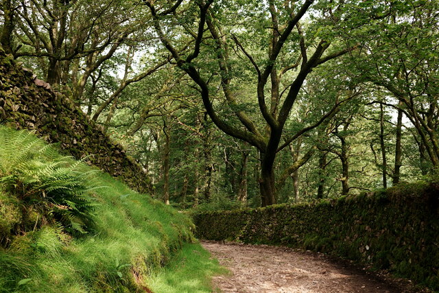
The woodland is predominantly composed of broadleaf trees, including oak, beech, ash, and birch. These impressive trees create a lush canopy that provides shade and shelter for various plants and animals. The forest floor is adorned with a carpet of ferns, bluebells, and wildflowers, adding to the natural beauty of the area.

Great Coppice is a sanctuary for wildlife, with numerous species calling it home. It is a haven for birds, such as woodpeckers, owls, and various songbirds, which can be heard throughout the year. Squirrels, rabbits, and deer are frequently spotted, adding to the allure of the woodland. The forest also hosts a rich variety of insects, including butterflies and beetles.

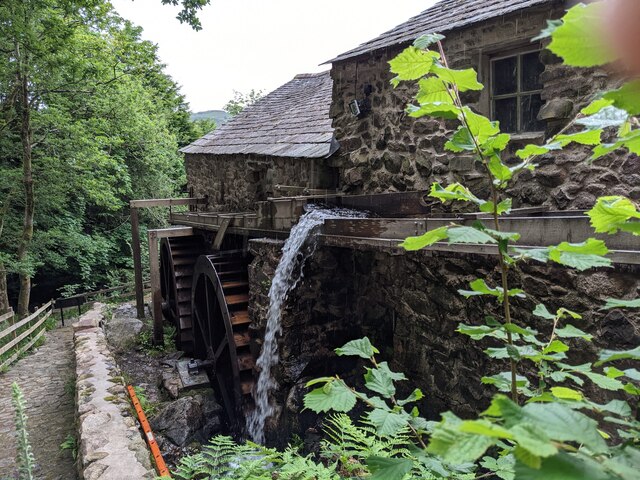
Visitors to Great Coppice can enjoy a range of activities, such as hiking, birdwatching, and photography. The forest trails offer breathtaking views of the surrounding countryside, making it a popular destination for nature enthusiasts. There are also designated picnic areas and camping spots, allowing visitors to immerse themselves in the tranquility of the forest.

In summary, Great Coppice in Cumberland is a stunning woodland that boasts an array of tree species, wildlife, and natural wonders. It provides a peaceful retreat for visitors and offers a chance to reconnect with nature in this picturesque corner of England.

If you have any feedback on the listing, please let us know in the comments section below.

Great Coppice Images

Images are sourced within 2km of 54.39114/-3.2545058 or Grid Reference NY1800. Thanks to Geograph Open Source API. All images are credited.

Farm track near Wha House Farm
A fine bridge over the River Esk
A path through the woods near Dalegarth
A new bridge over Birker Beck I think the previous bridge (see: <a title="https://www.geograph.org.uk/photo/4455179)" href="https://www.geograph.org.uk/photo/4455179)">Link</a> was probably damaged by floods.
Curiously the beck, referred to in some other geographs as Stanley Ghyll Beck, is named on the OS 1:50k map, but not on the 1:25k map.
A new bridge over Birker Beck
I think the previous bridge (see: Link was probably damaged by floods. Curiously the beck, referred to in some other geographs as Stanley Ghyll Beck, is named on the OS 1:50k map, but not on the 1:25k map.
A hanging fence across Birker Beck To discourage sheep from using the stream bed as an escape to greener pastures.
A hanging fence across Birker Beck
To discourage sheep from using the stream bed as an escape to greener pastures.
The stepping stones - a fun way to cross the Esk
The bridleway to the footbridge across the Esk
Wildflowers and trees Near Esk View Farm.
Wildflowers and trees
Near Esk View Farm.
Diverted power source The water wheels at Eskdale Mill are not in use today, so the water is spilled back into the stream.
Diverted power source
The water wheels at Eskdale Mill are not in use today, so the water is spilled back into the stream.
Water-smoothed rocks in Whillan Beck
Top of the power supply The water is extracted here to drive the water wheels at Eskdale Mill, whose rooftops are visible.
Top of the power supply
The water is extracted here to drive the water wheels at Eskdale Mill, whose rooftops are visible.
Whillan Beck from the mill bridge
Stanley Ghyll Beck Seen from the start of the climb up to the waterfall.
Stanley Ghyll Beck
Seen from the start of the climb up to the waterfall.
Eskdale Track up to the new Stanley Force viewing platform. Most walkers take the path in the ravine to reach the viewing platform, returning via this track.
Eskdale
Track up to the new Stanley Force viewing platform. Most walkers take the path in the ravine to reach the viewing platform, returning via this track.
Eskdale Track down to the road, from the new Stanley Force viewing platform.
Eskdale
Track down to the road, from the new Stanley Force viewing platform.
Eskdale View towards Dalegarth Hall, from the track.
Eskdale
View towards Dalegarth Hall, from the track.
Eskdale Trough House bridge and the River Esk.
Eskdale
Trough House bridge and the River Esk.
Eskdale River Esk from Trough House Bridge.
Eskdale
River Esk from Trough House Bridge.
Show me another place!

Great Coppice is located at Grid Ref: NY1800 (Lat: 54.39114, Lng: -3.2545058)

Administrative County: Cumbria

District: Copeland

Police Authority: Cumbria

What 3 Words

///landowner.waffle.variety. Near Seascale, Cumbria

Nearby Locations

Great Coppice Hows Wood

Related Wikis

Eskdale, Cumbria

Eskdale is a glacial valley and civil parish in the western Lake District National Park in Cumbria, England. It forms part of the Borough of Copeland...

Woolpack walk

The Woolpack Walk is a challenge walk which starts and finishes at the Woolpack Inn, Eskdale in the Lake District of England. The route covers 30 km (18...

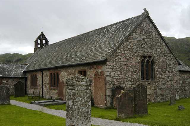
St Catherine's Church, Boot

St Catherine's Church is in the village of Boot, Cumbria, England. It is the Anglican parish church of Eskdale, Cumbria, and is in the deanery of Calder...

Boot, Cumbria

Boot is a small village in Eskdale, Cumbria, in the Lake District of England. It forms part of the Borough of Copeland. There are two roads from which...

Nearby Amenities

Located within 500m of 54.39114,-3.2545058
Birker Force
Intermittent: no
Waterway: waterfall
Lat/Long: 54.3882191/-3.2525789
Barrier: kissing_gate
Source: survey;bing;gps
Lat/Long: 54.3911715/-3.2600629
Barrier: kissing_gate
Source: survey;bing;gps
Lat/Long: 54.3911913/-3.2600565
Barrier: stile
Lat/Long: 54.3890833/-3.261255
Low Birker
Place: locality
Lat/Long: 54.3926599/-3.2512376
Bench
Lat/Long: 54.3903543/-3.259663
St Catherine's Well
Archaeological Site: holy_well
Description: Holy Well
Historic: archaeological_site
Lat/Long: 54.3915641/-3.2620646
Ford: yes
Lat/Long: 54.389759/-3.2472033
Oak How
Place: locality
Lat/Long: 54.3932222/-3.2486556
Ash How
Place: locality
Lat/Long: 54.3916582/-3.2511935
Lowgram
Place: locality
Lat/Long: 54.3910933/-3.2595271
Peat Hut
Historic: yes
Lat/Long: 54.389466/-3.2477106
The data included in this document is from www.openstreetmap.org. The data is made available under ODbL.

Have you been to Great Coppice?

Leave your review of Great Coppice below (or comments, questions and feedback).