Rook Wood
Wood, Forest in Somerset Somerset West and Taunton
England
Rook Wood
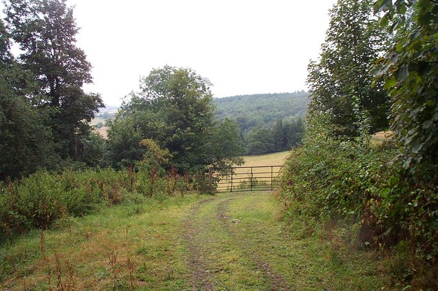
Rook Wood, Somerset is a picturesque forest located in the county of Somerset, England. It covers an area of approximately 500 acres and is known for its dense woodland and diverse range of flora and fauna. The wood is situated in the heart of the Somerset Levels, an area renowned for its natural beauty and wildlife.
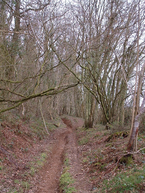
Rook Wood is predominantly made up of broadleaf trees such as oak, beech, and ash, which provide a rich and varied habitat for many species. The forest floor is carpeted with wildflowers during the spring and summer months, adding a burst of color to the landscape. The wood is crisscrossed with a network of walking trails, allowing visitors to explore the area and enjoy its tranquil atmosphere.
One of the unique features of Rook Wood is its population of rooks, which gives the wood its name. These intelligent black birds nest in the treetops and can often be seen flying overhead or gathering in large groups. Their distinctive calls add to the enchanting ambiance of the wood.
Rook Wood is not only a haven for wildlife but also a popular destination for outdoor enthusiasts. It offers opportunities for activities such as birdwatching, nature photography, and forest bathing. The wood is managed by local authorities, who ensure its conservation and the protection of its natural resources.
Overall, Rook Wood, Somerset is a beautiful and ecologically important forest, offering a peaceful retreat for both nature lovers and those seeking a respite from the hustle and bustle of everyday life.
If you have any feedback on the listing, please let us know in the comments section below.
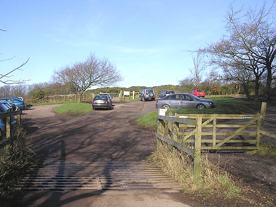
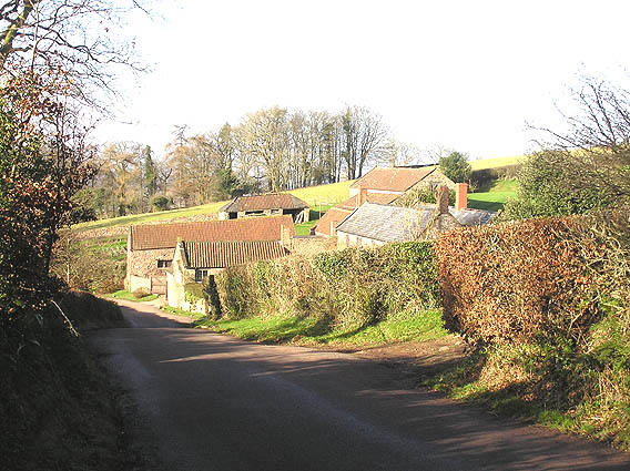
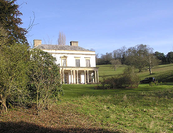
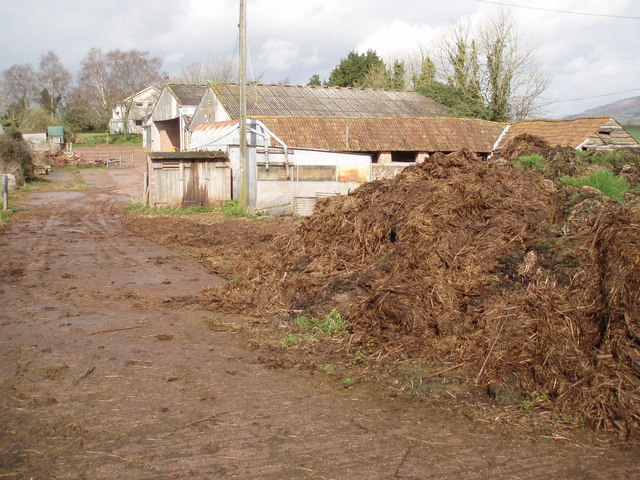
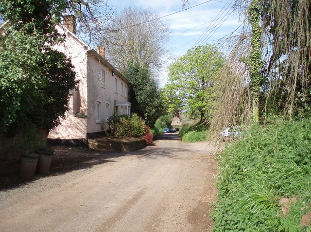
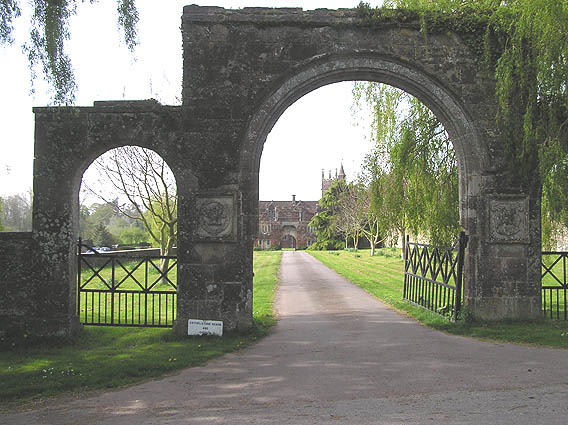
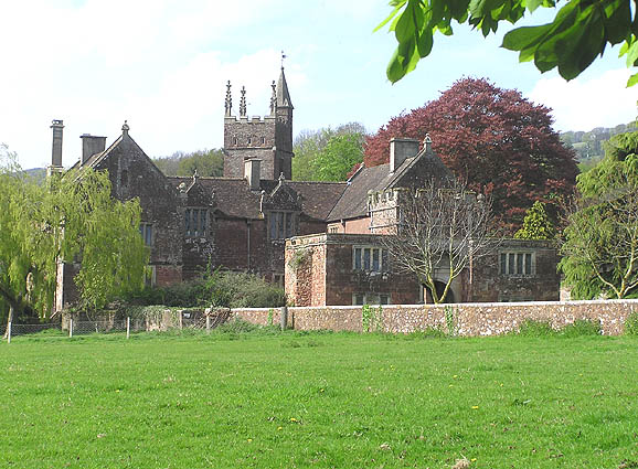
Rook Wood Images
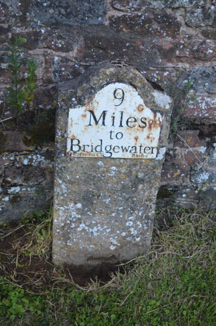
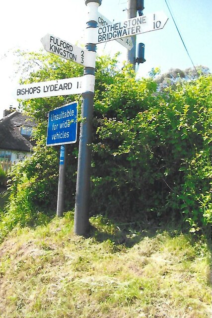
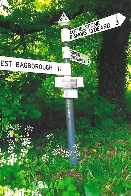
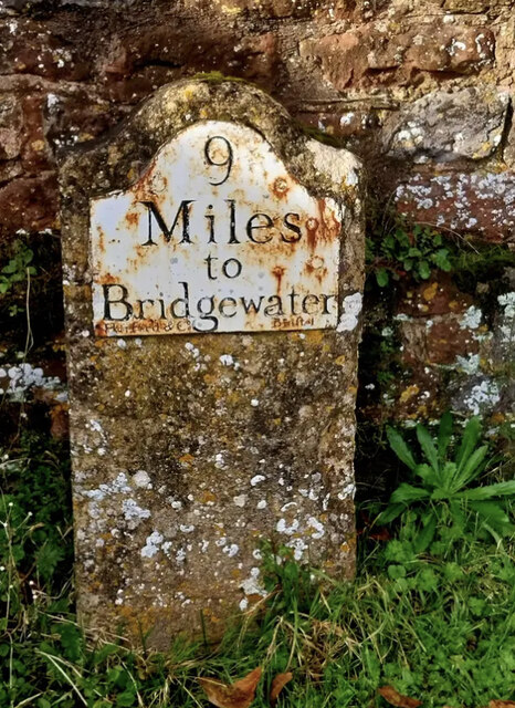
Images are sourced within 2km of 51.084549/-3.173771 or Grid Reference ST1732. Thanks to Geograph Open Source API. All images are credited.


Rook Wood is located at Grid Ref: ST1732 (Lat: 51.084549, Lng: -3.173771)
Administrative County: Somerset
District: Somerset West and Taunton
Police Authority: Avon and Somerset
What 3 Words
///variation.inherit.spoil. Near Bishops Lydeard, Somerset
Nearby Locations
Related Wikis
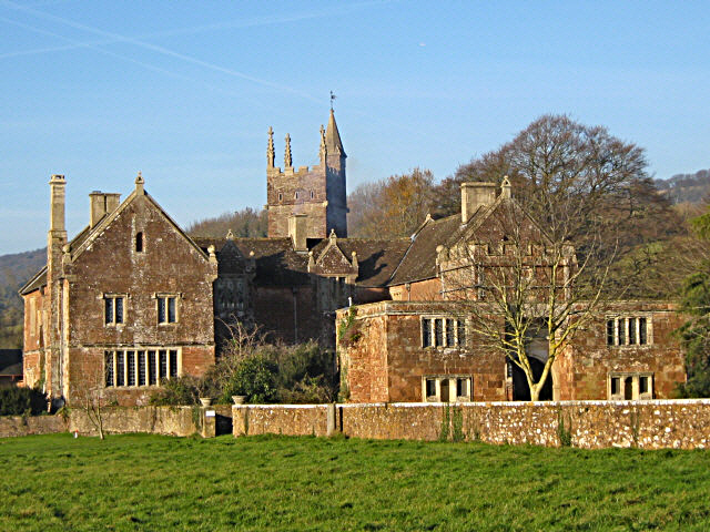
Cothelstone Manor
Cothelstone Manor in Cothelstone, Somerset, England was built in the mid-16th century, largely demolished by the parliamentary troops in 1646 and rebuilt...

West Bagborough Hoard
The West Bagborough Hoard is a hoard of 670 Roman coins and 72 pieces of hacksilver found in October 2001 by metal detectorist James Hawkesworth near...

Cothelstone
Cothelstone is a village and civil parish in Somerset, England, situated in the Quantock Hills six miles north of Taunton. The parish, which includes the...

West Bagborough
West Bagborough is a village and civil parish in Somerset, England, about 5 miles (8.0 km) north of Taunton. In 2011, the village had a population of 358...
Nearby Amenities
Located within 500m of 51.084549,-3.173771Have you been to Rook Wood?
Leave your review of Rook Wood below (or comments, questions and feedback).