Alder Copse

Wood, Forest in Somerset Somerset West and Taunton

England

Alder Copse

Old Milestone, Cothelstone By Cothelstone Manor, Cothelstone. Metal plate attached to stone post by the UC road, in parish of COTHELSTONE (TAUNTON DEANE District), by entrance to Cothelstone Manor, in front of stone wall on grass verge, on North side of road. Harford iron plate, erected by the Bridgwater turnpike trust in the 18th century. The benchmark would have represented 315.2 ft Above Sea Level when the MS was situated on the opposite side of the road, hence the BM is not recorded in the OS database. 
An older image can be seen at <a title="https://www.geograph.org.uk/photo/6050694" href="https://www.geograph.org.uk/photo/6050694">Link</a>

Inscription reads: 9 / Miles / to / Bridgewater / Harford & Co. Bristol.

Grade II Listed: 1059191 <span class="nowrap"><a title="https://historicengland.org.uk/listing/the-list/list-entry/1059191" rel="nofollow ugc noopener" href="https://historicengland.org.uk/listing/the-list/list-entry/1059191">Link</a><img style="margin-left:2px;" alt="External link" title="External link - shift click to open in new window" src="https://s1.geograph.org.uk/img/external.png" width="10" height="10"/></span>

Milestone Society National ID: SO_BG08w
Old Milestone, Cothelstone Credit: Sheron Vowden

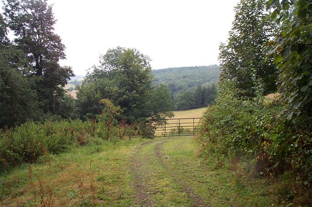
Alder Copse is a picturesque wood located in Somerset, England. Covering an area of approximately 20 acres, it is nestled within the rolling countryside, offering visitors a tranquil and serene environment. The copse is primarily composed of alder trees, which lend their name to the wood. These trees create a dense canopy, casting dappled sunlight onto the forest floor and creating a magical atmosphere.

The woodland floor is adorned with an array of wildflowers, including bluebells, primroses, and wood sorrels, which provide a vibrant burst of color during the spring months. The copse is also home to a diverse range of wildlife. Visitors may catch glimpses of red squirrels darting through the trees, or hear the melodic songs of various bird species, including thrushes and finches.

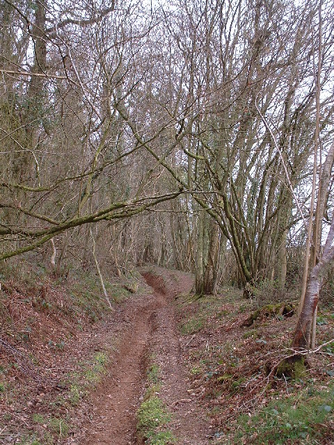
Tranquil pathways wind their way through the copse, inviting visitors to explore its beauty. The air is scented with the earthy aroma of damp soil and the sweet fragrance of wildflowers. Alder Copse is a haven for nature enthusiasts and photographers alike, offering countless opportunities to capture the stunning scenery and wildlife on camera.

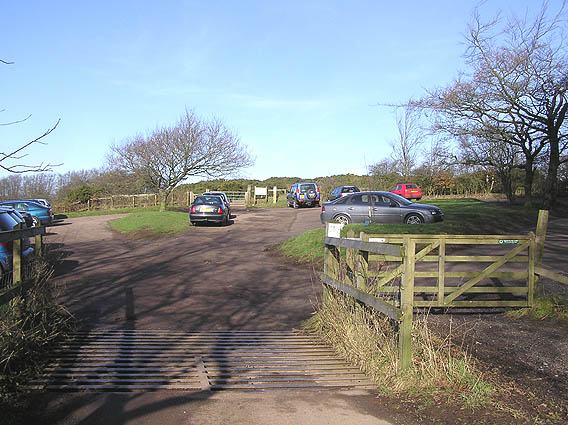
The copse is easily accessible, with a small car park located nearby and a well-maintained footpath leading directly into the wood. It is a popular spot for walking, picnicking, and simply immersing oneself in nature's tranquility. Whether visiting during the vibrant burst of spring or the peaceful serenity of autumn, Alder Copse is sure to captivate visitors with its natural beauty and peaceful atmosphere.

If you have any feedback on the listing, please let us know in the comments section below.
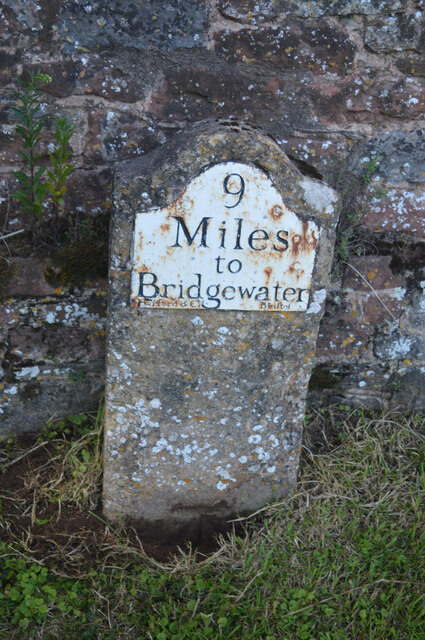
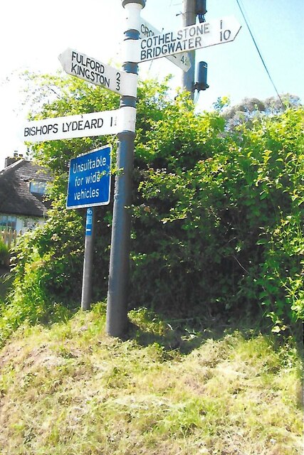
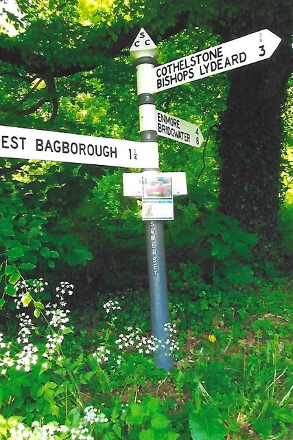
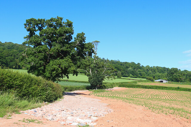
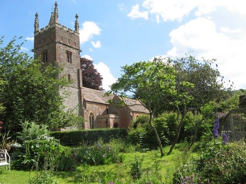
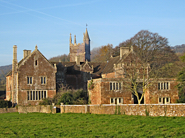
Alder Copse Images

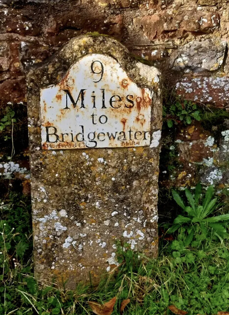
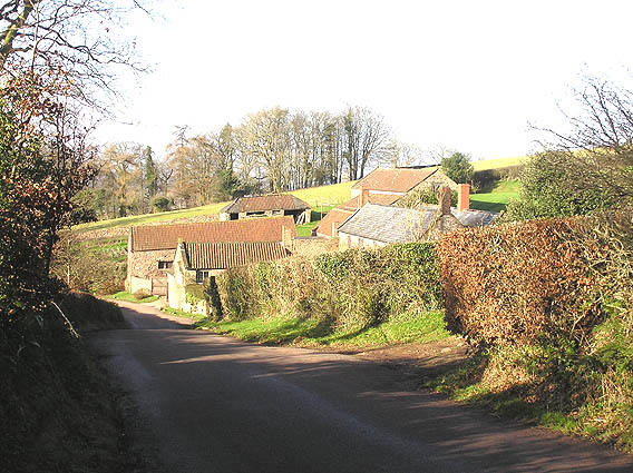
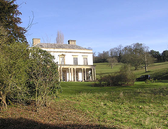
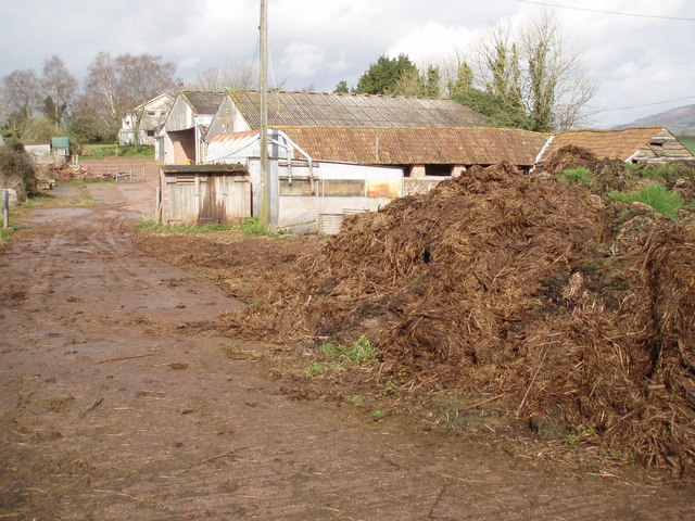
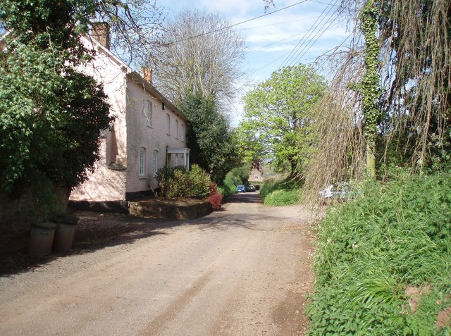
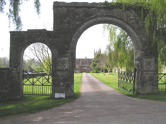
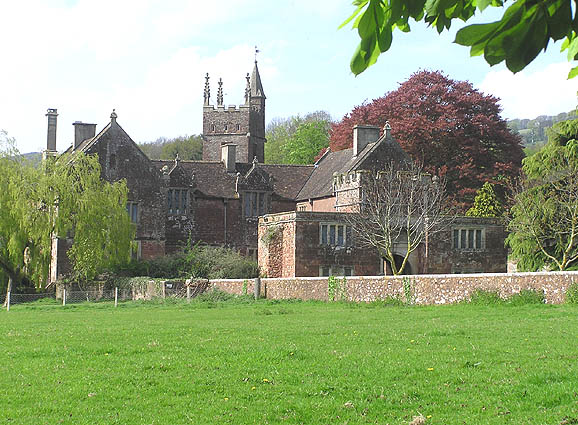
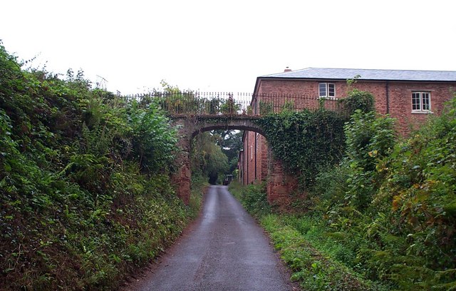
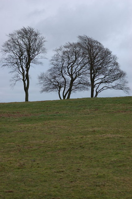
Images are sourced within 2km of 51.08812/-3.1763745 or Grid Reference ST1732. Thanks to Geograph Open Source API. All images are credited.

Old Milestone, Cothelstone By Cothelstone Manor, Cothelstone. Metal plate attached to stone post by the UC road, in parish of COTHELSTONE (TAUNTON DEANE District), by entrance to Cothelstone Manor, in front of stone wall on grass verge, on North side of road. Harford iron plate, erected by the Bridgwater turnpike trust in the 18th century. The benchmark would have represented 315.2 ft Above Sea Level when the MS was situated on the opposite side of the road, hence the BM is not recorded in the OS database. 
An older image can be seen at <a title="https://www.geograph.org.uk/photo/6050694" href="https://www.geograph.org.uk/photo/6050694">Link</a>

Inscription reads: 9 / Miles / to / Bridgewater / Harford & Co. Bristol.

Grade II Listed: 1059191 <span class="nowrap"><a title="https://historicengland.org.uk/listing/the-list/list-entry/1059191" rel="nofollow ugc noopener" href="https://historicengland.org.uk/listing/the-list/list-entry/1059191">Link</a><img style="margin-left:2px;" alt="External link" title="External link - shift click to open in new window" src="https://s1.geograph.org.uk/img/external.png" width="10" height="10"/></span>

Milestone Society National ID: SO_BG08w
Old Milestone, Cothelstone
By Cothelstone Manor, Cothelstone. Metal plate attached to stone post by the UC road, in parish of COTHELSTONE (TAUNTON DEANE District), by entrance to Cothelstone Manor, in front of stone wall on grass verge, on North side of road. Harford iron plate, erected by the Bridgwater turnpike trust in the 18th century. The benchmark would have represented 315.2 ft Above Sea Level when the MS was situated on the opposite side of the road, hence the BM is not recorded in the OS database. An older image can be seen at Link Inscription reads: 9 / Miles / to / Bridgewater / Harford & Co. Bristol. Grade II Listed: 1059191 LinkExternal link Milestone Society National ID: SO_BG08w
Direction Sign – Signpost northeast of Bishops Lydeard village Located on the north side of a junction on Cothelstone Road northeast of the village in Bishops Lydeard parish. 4 arms and pyramid finial. See also <a title="https://www.geograph.org.uk/photo/5824819" href="https://www.geograph.org.uk/photo/5824819">Link</a> and <a title="https://www.geograph.org.uk/photo/2885672" href="https://www.geograph.org.uk/photo/2885672">Link</a>.

Milestone Society National ID: SO_ST1730A
Direction Sign – Signpost northeast of Bishops Lydeard village
Located on the north side of a junction on Cothelstone Road northeast of the village in Bishops Lydeard parish. 4 arms and pyramid finial. See also Link and Link. Milestone Society National ID: SO_ST1730A
Direction Sign – Signpost at Park End, Broomfield Located at Park End on the northeast side of the junction on Cothelstone Road in Broomfield parish. 3 arms and pyramid finial. See also <a title="https://www.geograph.org.uk/photo/5813136" href="https://www.geograph.org.uk/photo/5813136">Link</a> and <a title="https://www.geograph.org.uk/photo/1140340" href="https://www.geograph.org.uk/photo/1140340">Link</a>.

Milestone Society National ID: SO_ST1833C
Direction Sign – Signpost at Park End, Broomfield
Located at Park End on the northeast side of the junction on Cothelstone Road in Broomfield parish. 3 arms and pyramid finial. See also Link and Link. Milestone Society National ID: SO_ST1833C
Near Crowcombe Field and trees near Crowcombe.
Near Crowcombe
Field and trees near Crowcombe.
Old Milestone by Cothelstone Manor, Cothelstone parish Metal plate attached to stone post by the UC road, in parish of COTHELSTONE (TAUNTON DEANE District), by entrance to Cothelstone Manor, in front of stone wall on grass verge, on North side of road. Harford iron plate, erected by the Bridgwater turnpike trust in the 18th century. 

Inscription reads:-
9
Miles
to
Bridgewater
Maker:-
Harford & Co. Bristol.

Grade II Listed. 
List Entry Number: 1059191 <span class="nowrap"><a title="https://historicengland.org.uk/listing/the-list/list-entry/1059191" rel="nofollow ugc noopener" href="https://historicengland.org.uk/listing/the-list/list-entry/1059191">Link</a><img style="margin-left:2px;" alt="External link" title="External link - shift click to open in new window" src="https://s1.geograph.org.uk/img/external.png" width="10" height="10"/></span>

Milestone Society National ID: SO_BG08w.
Old Milestone by Cothelstone Manor, Cothelstone parish
Metal plate attached to stone post by the UC road, in parish of COTHELSTONE (TAUNTON DEANE District), by entrance to Cothelstone Manor, in front of stone wall on grass verge, on North side of road. Harford iron plate, erected by the Bridgwater turnpike trust in the 18th century. Inscription reads:- 9 Miles to Bridgewater Maker:- Harford & Co. Bristol. Grade II Listed. List Entry Number: 1059191 LinkExternal link Milestone Society National ID: SO_BG08w.
Woodland near Cothelstone Hill
Lydeard Hill car park, Quantock Hills
Tilbury Farm, Bagborough
The Rising Sun, Bagborough In small words below the "Rising Sun", it says Established 1573!
The Rising Sun, Bagborough
In small words below the "Rising Sun", it says Established 1573!
Bagborough House from the church path
Stoneage Barton Farm. A large pile of manure, plenty of corrugated iron, an undulating barn roof and no shortage of mud makes this a typical working farm. The farmhouse is the furthermost building.
Stoneage Barton Farm.
A large pile of manure, plenty of corrugated iron, an undulating barn roof and no shortage of mud makes this a typical working farm. The farmhouse is the furthermost building.
Shopnoller Farm, Shopnoller The strangely named hamlet of Shopnoller is about one kilometre off the main A358, down some very narrow lanes.
Shopnoller Farm, Shopnoller
The strangely named hamlet of Shopnoller is about one kilometre off the main A358, down some very narrow lanes.
Outer Gate Arch, Cothelstone Manor Rebels from the Duke of Monmouth's army were hung on this arch after the Battle of Sedgemoor 1685. The daughter of the poet P.B.Shelley is buried in the church yard in the rear of the photo.
Outer Gate Arch, Cothelstone Manor
Rebels from the Duke of Monmouth's army were hung on this arch after the Battle of Sedgemoor 1685. The daughter of the poet P.B.Shelley is buried in the church yard in the rear of the photo.
Cothelstone Manor and church
The view from the road round Cothelstone Hill
Terhill This enormous building is being refurbished as all the windows are new. The little bridge crossing the lane looks like an "over-the-top" solution as the lane carries virtually no traffic!
Terhill
This enormous building is being refurbished as all the windows are new. The little bridge crossing the lane looks like an "over-the-top" solution as the lane carries virtually no traffic!
Seven Sisters This group of trees can be seen for miles around as they are the only tall trees on the top of Cothelstone Hill.
Seven Sisters
This group of trees can be seen for miles around as they are the only tall trees on the top of Cothelstone Hill.
Cothelstone Church
Cothelstone Church
Show me another place!

Alder Copse is located at Grid Ref: ST1732 (Lat: 51.08812, Lng: -3.1763745)

Administrative County: Somerset

District: Somerset West and Taunton

Police Authority: Avon and Somerset

What 3 Words

///extremes.mopped.pulps. Near Bishops Lydeard, Somerset

Related Wikis

Nearby Amenities

Located within 500m of 51.08812,-3.1763745
Post Box
Operator: Royal Mail
Operator Wikidata: Q638098
Lat/Long: 51.0863256/-3.1798834
The data included in this document is from www.openstreetmap.org. The data is made available under ODbL.

Have you been to Alder Copse?

Leave your review of Alder Copse below (or comments, questions and feedback).