Adder Wood

Wood, Forest in Somerset Somerset West and Taunton

England

Adder Wood

Weacombe Hill on the Quantock Hills Looking north west from the top of Weacombe Hill, close to the Bicknoller Post.
The Bristol Channel is in the far distance.
Weacombe Hill on the Quantock Hills Credit: Kevin Pearson

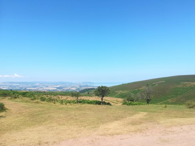
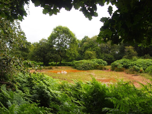
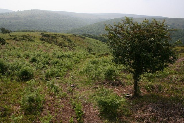
Adder Wood is a charming forest located in the county of Somerset, England. Situated near the village of Adder, it covers an area of approximately 50 acres and is a popular destination for nature enthusiasts and outdoor lovers.

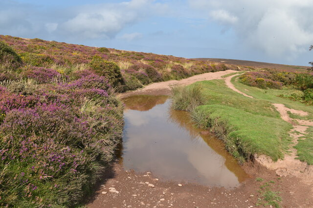
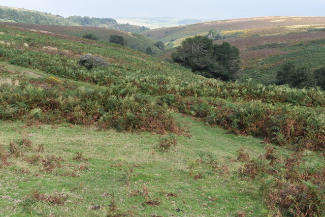
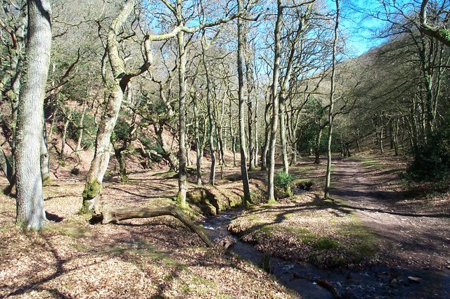
The wood is predominantly composed of deciduous trees, such as oak, beech, and ash, which provide a stunning display of colors during autumn. The lush green foliage in the spring and summer months creates a tranquil and picturesque atmosphere, making it an ideal spot for peaceful walks and picnics.

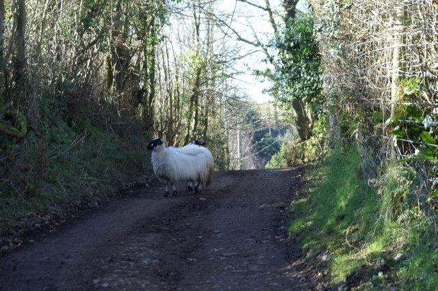
The forest is home to a diverse range of wildlife, including various bird species, small mammals, and insects. Visitors may be lucky enough to spot woodpeckers, squirrels, and even deer as they explore the woodland trails. The abundance of flora and fauna in Adder Wood offers a unique opportunity for nature enthusiasts to observe and appreciate the local ecosystem.

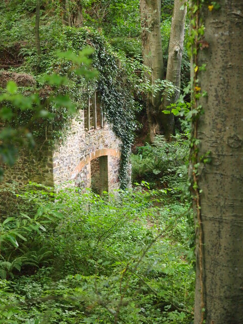
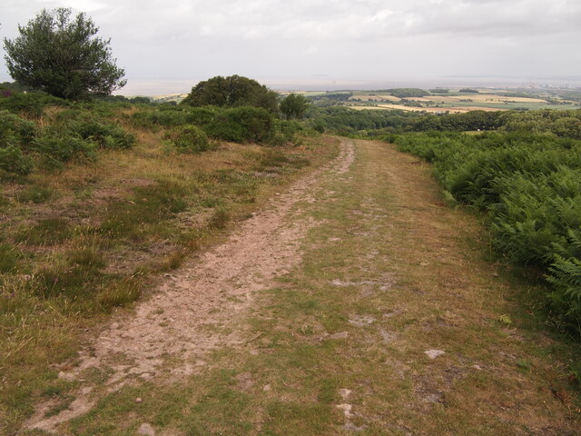
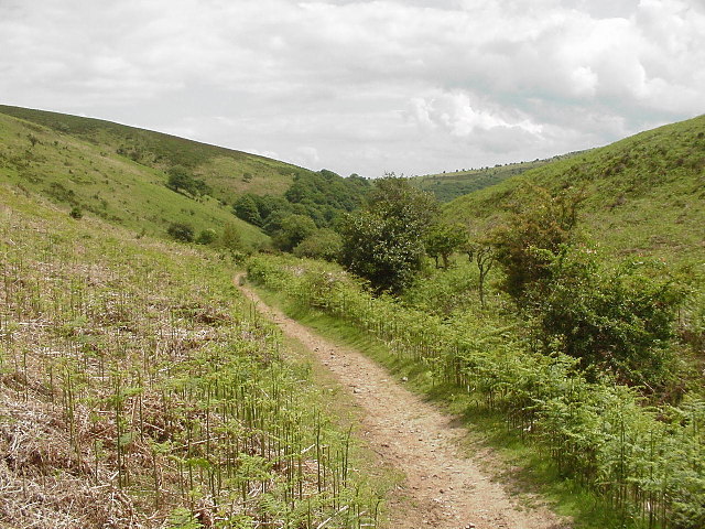
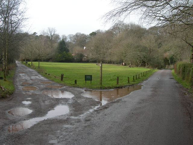
There are well-maintained footpaths that wind through the forest, allowing visitors to explore the wood at their own pace. These paths lead to several scenic viewpoints, offering panoramic views of the surrounding countryside and nearby hills. Additionally, there are designated areas within the wood for camping and picnicking, providing visitors with the chance to relax and immerse themselves in the natural beauty of their surroundings.

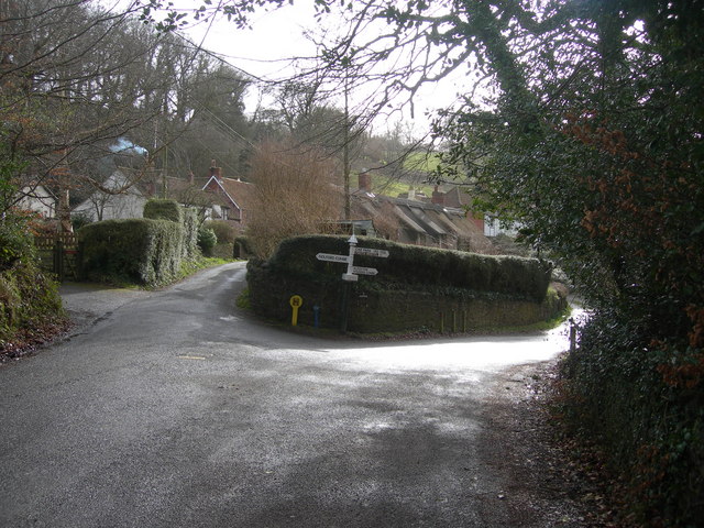
Adder Wood is easily accessible by both car and public transportation, with ample parking available nearby. It is a cherished natural gem in Somerset, offering a peaceful retreat for those seeking solace in nature's embrace.

If you have any feedback on the listing, please let us know in the comments section below.
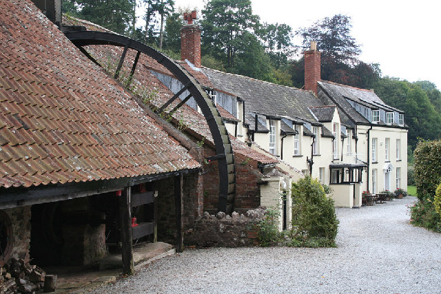
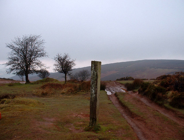
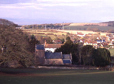
Adder Wood Images

Images are sourced within 2km of 51.152726/-3.2250159 or Grid Reference ST1439. Thanks to Geograph Open Source API. All images are credited.

Weacombe Hill on the Quantock Hills Looking north west from the top of Weacombe Hill, close to the Bicknoller Post.
The Bristol Channel is in the far distance.
Weacombe Hill on the Quantock Hills
Looking north west from the top of Weacombe Hill, close to the Bicknoller Post. The Bristol Channel is in the far distance.
Puddle in track on Weacombe Hill
View over the head of Gay’s House Combe
Public Footpath Public footpath that leads to the summit of Beacon Hill, Somerset. The path also has an Ordnance Survey rivet.
<a href="https://www.geograph.org.uk/photo/6998658">ST1240 : Ordnance Survey Rivet</a>
Public Footpath
Public footpath that leads to the summit of Beacon Hill, Somerset. The path also has an Ordnance Survey rivet. ST1240 : Ordnance Survey Rivet
Ordnance Survey Rivet This rivet is located on a public footpath that leads to the summit of Beacon Hill, Somerset. These rivets were used by Ordnance Survey for mapping purposes.
<a href="https://www.geograph.org.uk/photo/6998654">ST1240 : Public Footpath</a>
Ordnance Survey Rivet
This rivet is located on a public footpath that leads to the summit of Beacon Hill, Somerset. These rivets were used by Ordnance Survey for mapping purposes. ST1240 : Public Footpath
Pool Below Woodlands Hill
Remains of the Silk Mill, Holford Used as a backdrop in the Brian Adams video for 'Everything I do'.  Another location used was nearby at  Quantock's Head.
Remains of the Silk Mill, Holford
Used as a backdrop in the Brian Adams video for 'Everything I do'. Another location used was nearby at Quantock's Head.
Track on Lower Hare Knap
Holford: remains of water-powered silk mill
Holford: waterwheel at Combe House Hotel The 26’ diameter overshot waterwheel was cast by Bridgwater ironfounder H Culverwell & Co in 1892 to replace an earlier wheel. It was used to grind oak bark for the tannery complex established here in the 1840s by James Hayman. When the tannery closed in 1900 the waterwheel was adapted to other uses such as grinding grain for grist, cutting chaff, chopping apples for the cider press and generating electricity. It also cracked stones in a nearby quarry. The gearing survives too. Combe House Hotel is open to non residents for lunches and teas
Holford: waterwheel at Combe House Hotel
The 26’ diameter overshot waterwheel was cast by Bridgwater ironfounder H Culverwell & Co in 1892 to replace an earlier wheel. It was used to grind oak bark for the tannery complex established here in the 1840s by James Hayman. When the tannery closed in 1900 the waterwheel was adapted to other uses such as grinding grain for grist, cutting chaff, chopping apples for the cider press and generating electricity. It also cracked stones in a nearby quarry. The gearing survives too. Combe House Hotel is open to non residents for lunches and teas
Bicknoller Post above Bicknoller Combe On the Quantock Hills, looking west.
Bicknoller Post above Bicknoller Combe
On the Quantock Hills, looking west.
Top of Hodders Combe near Lady's Edge
Holford church and village, Bristol Channel in background Steepholm island visible in Bristol Channel
Holford church and village, Bristol Channel in background
Steepholm island visible in Bristol Channel
Sheep on a Track on Pardlestone Hill
Hodder's Combe. Ancient oak woodland lines the combe bottom.
Hodder's Combe.
Ancient oak woodland lines the combe bottom.
Holford Bowling Green
Silk Mills, Holford
Silk Mills, Holford
Hawthorn tree above Lady's Edge Climbing up on the path above Lady's Edge, a view back to the ridges of the Quantocks, with a hawthorn tree nicely placed for foreground interest.
Hawthorn tree above Lady's Edge
Climbing up on the path above Lady's Edge, a view back to the ridges of the Quantocks, with a hawthorn tree nicely placed for foreground interest.
Show me another place!

Adder Wood is located at Grid Ref: ST1439 (Lat: 51.152726, Lng: -3.2250159)

Administrative County: Somerset

District: Somerset West and Taunton

Police Authority: Avon and Somerset

What 3 Words

///vessel.accusing.bleak. Near Nether Stowey, Somerset

Related Wikis

Quantock Hills

The Quantock Hills west of Bridgwater in Somerset, England, consist of heathland, oak woodlands, ancient parklands and agricultural land. They were England...
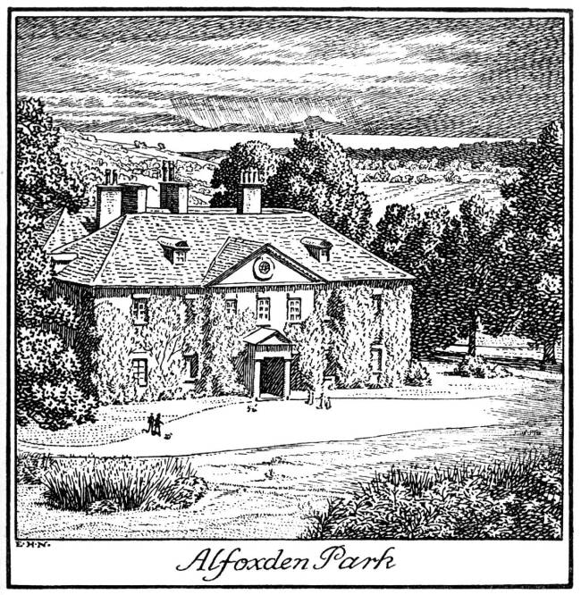
Alfoxton House

Alfoxton House, also known as Alfoxton Park or Alfoxden, is an 18th-century country house in Holford, Somerset, England, within the Quantock Hills Area...

Holford

Holford is a village and civil parish in West Somerset within the Quantock Hills Area of Outstanding Natural Beauty. It is located about 10 miles (16 km...

Dowsborough

Dowsborough Camp (or Danesborough or Dawesbury) is an Iron Age hill fort on the Quantock Hills near Nether Stowey in Somerset, England. It has been designated...

Ge-mare Farm Fields

Ge-mare Farm Fields (grid reference ST155424) is a 4.1 hectare (10.3 acre) biological Site of Special Scientific Interest near Holford on the Quantock...

Halsway Manor

Halsway Manor (also known as Halsway Court) is a manor house in Halsway, Somerset. It is owned by the Halsway Manor Society who operate the manor as a...

Dead Woman's Ditch

Dead Woman's Ditch is an earthwork which has been scheduled as an ancient monument in Over Stowey, Somerset, England situated on the Quantock Hills. A...
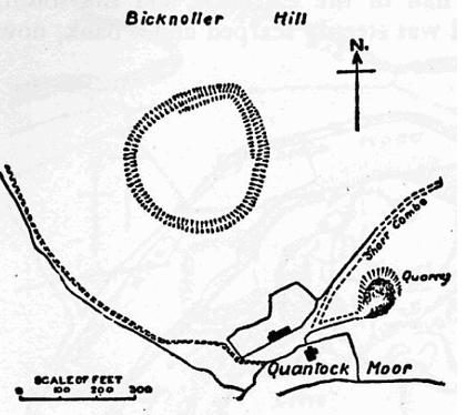
Trendle Ring

Trendle Ring (or Trundle Ring) is a late prehistoric earthwork on the Quantock Hills near Bicknoller in Somerset, England. It is a Scheduled Monument....

Have you been to Adder Wood?

Leave your review of Adder Wood below (or comments, questions and feedback).