Pardlestone Plantation
Wood, Forest in Somerset Somerset West and Taunton
England
Pardlestone Plantation
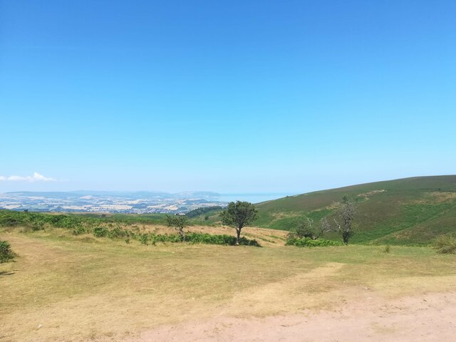
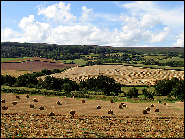
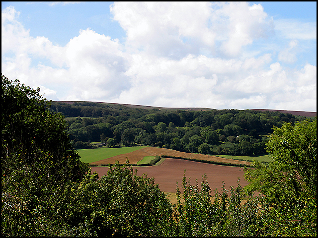
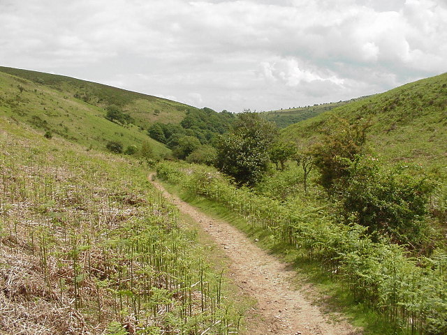
Pardlestone Plantation is a vast woodland located in Somerset, England. Covering an area of approximately 500 acres, it is a popular destination for nature enthusiasts, hikers, and those seeking tranquility amidst nature. The plantation is situated in the picturesque countryside of Somerset, surrounded by rolling hills and green meadows.
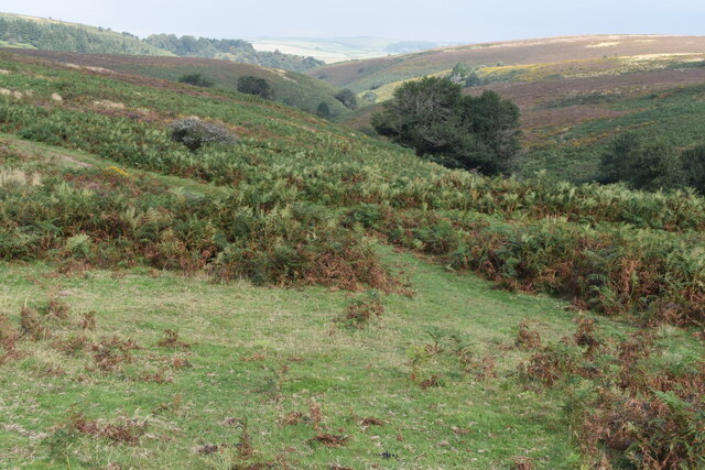
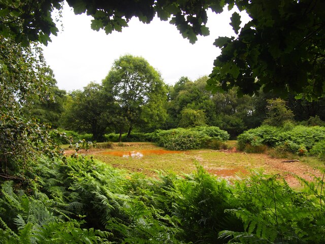
The woodland is predominantly made up of deciduous trees, including oak, beech, and ash, which create a diverse and vibrant ecosystem. The rich variety of flora and fauna found in Pardlestone Plantation makes it a haven for wildlife. Visitors may spot deer, foxes, badgers, and a wide range of bird species, making it a paradise for birdwatchers.
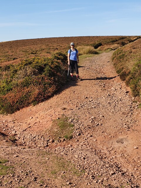
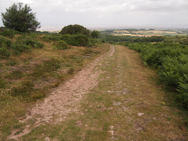
The plantation offers various walking trails and paths, providing ample opportunities for exploration and discovery. Some of the paths lead to viewpoints, offering breathtaking vistas of the surrounding countryside. There are also picnic areas and benches scattered throughout the woodland, allowing visitors to relax and enjoy the peaceful ambiance.
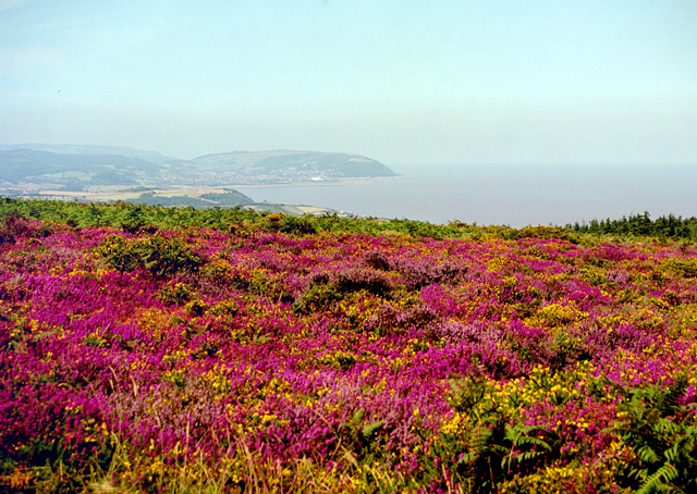
Pardlestone Plantation is managed by the local authorities, ensuring that it remains well-maintained and accessible to the public. The woodland is open year-round and offers different experiences with each season. In spring, the woodland is adorned with vibrant wildflowers, while autumn displays a stunning array of colors as the leaves change. Winter brings a serene atmosphere, with a dusting of snow often adding to the enchantment.
Overall, Pardlestone Plantation is a cherished natural asset in Somerset, offering visitors an escape from the hustle and bustle of everyday life and providing a sanctuary for both wildlife and humans alike.
If you have any feedback on the listing, please let us know in the comments section below.
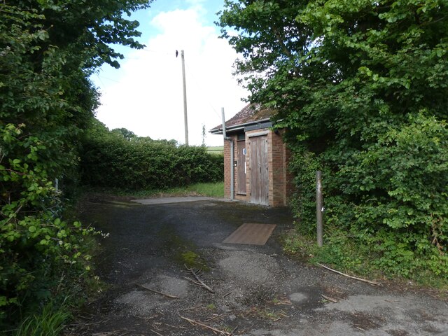
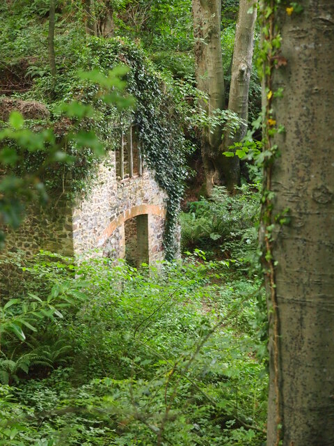
Pardlestone Plantation Images
Images are sourced within 2km of 51.166933/-3.2251492 or Grid Reference ST1441. Thanks to Geograph Open Source API. All images are credited.


Pardlestone Plantation is located at Grid Ref: ST1441 (Lat: 51.166933, Lng: -3.2251492)
Administrative County: Somerset
District: Somerset West and Taunton
Police Authority: Avon and Somerset
What 3 Words
///pasting.down.decompose. Near Nether Stowey, Somerset
Nearby Locations
Related Wikis
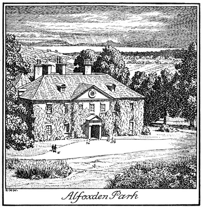
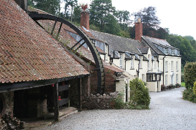
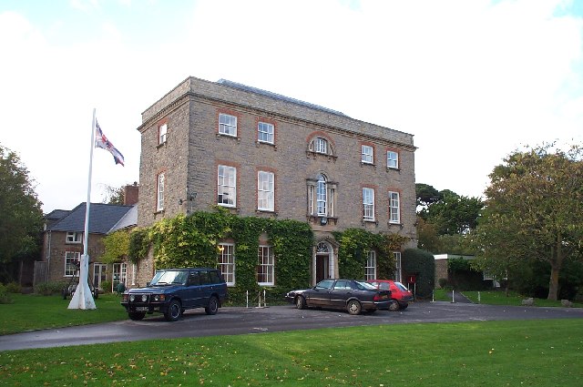
Alfoxton House
Alfoxton House, also known as Alfoxton Park or Alfoxden, is an 18th-century country house in Holford, Somerset, England, within the Quantock Hills Area...

Holford
Holford is a village and civil parish in West Somerset within the Quantock Hills Area of Outstanding Natural Beauty. It is located about 10 miles (16 km...

Ge-mare Farm Fields
Ge-mare Farm Fields (grid reference ST155424) is a 4.1 hectare (10.3 acre) biological Site of Special Scientific Interest near Holford on the Quantock...

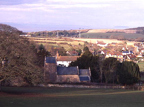
Kilve
Kilve is a village in the Somerset West and Taunton district of Somerset, England, within the Quantock Hills Area of Outstanding Natural Beauty, the first...

East Quantoxhead
East Quantoxhead is a village in the district of Somerset West and Taunton, 3 miles (5 km) from West Quantoxhead, 4 miles (6 km) east of Williton, and...

Church of St Mary, East Quantoxhead
The Anglican Church of St Mary in East Quantoxhead, Somerset, England was built in the 14th century. It is a Grade II* listed building. == History == The...
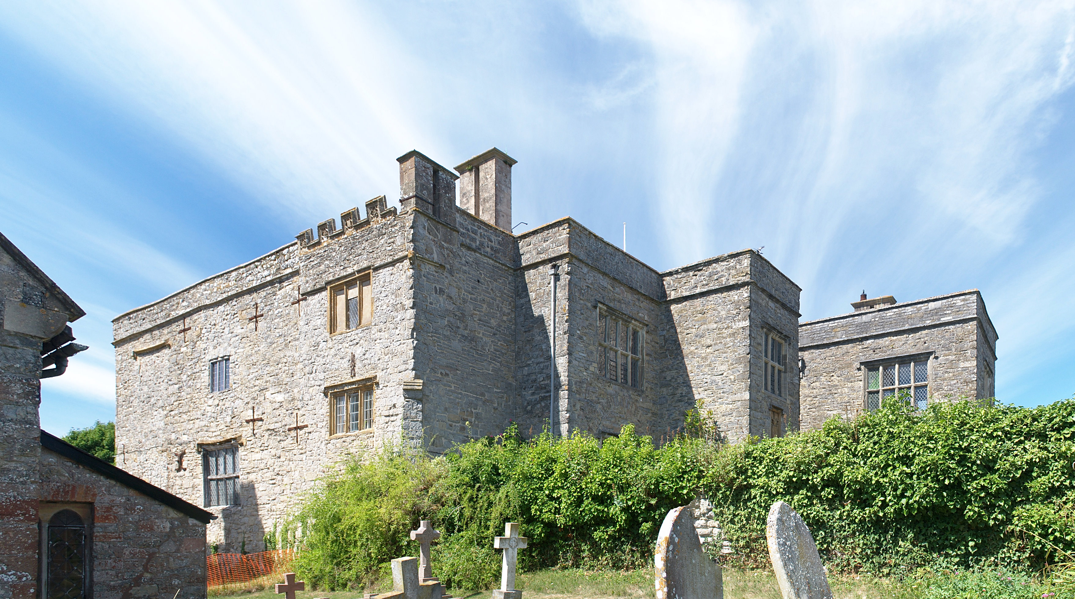
Court House, East Quantoxhead
The Court House in East Quantoxhead, Somerset, England has a medieval tower and other parts of the building which date from the 17th century. It has been...

Church of Saint Mary, Kilve
The Anglican Church of St Mary in Kilve, Somerset, England was built in the 14th century. It is a Grade II* listed building. == History == The first church...
Related Videos


Quantock Cottages - The Secure Paddocks and High Fences | Dog Friendly Holiday Cottages in Somerset
Simon tells you about the high fences in the dog exercise paddocks at The Quantock Cottages , 3 Luxury Dog Friendly Holiday ...

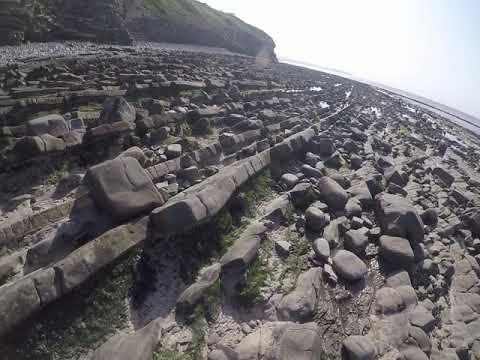
Kilve Beach - Tier 3 Landscape Photography in Somerset, UK
My latest Landscape photography adventures, join me in this video a see the location and get some photography help, advice and ...
Nearby Amenities
Located within 500m of 51.166933,-3.2251492Have you been to Pardlestone Plantation?
Leave your review of Pardlestone Plantation below (or comments, questions and feedback).