Baldmire Wood

Wood, Forest in Cumberland Copeland

England

Baldmire Wood

The path to Fell Brow A pleasant track with a wonderful view of the south-west Cumbrian coastline.

This photograph was taken during the Coronavirus (COVID-19) pandemic of 2020/21.
The path to Fell Brow Credit: James T M Towill

Baldmire Wood is a beautiful forest located in Cumberland, a county in the northwestern part of England. Covering an area of approximately 500 acres, this woodland is a haven for nature enthusiasts and offers a variety of activities and attractions for visitors to enjoy.

The forest is characterized by its diverse range of tree species, including oak, beech, birch, and ash, which create a rich and vibrant canopy. Additionally, the forest floor is adorned with a carpet of wildflowers, ferns, and mosses, adding to the overall enchanting atmosphere.

Baldmire Wood is home to an array of wildlife, making it a popular spot for birdwatchers and animal lovers. Visitors may spot species such as red squirrels, roe deer, badgers, and a variety of birds, including owls, woodpeckers, and warblers.

For those seeking recreational activities, the forest offers several well-maintained trails for walking, cycling, and horse riding. These trails wind their way through the woodland, providing visitors with stunning views and opportunities to explore the forest's hidden gems.

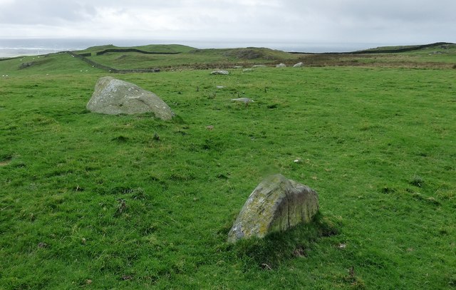
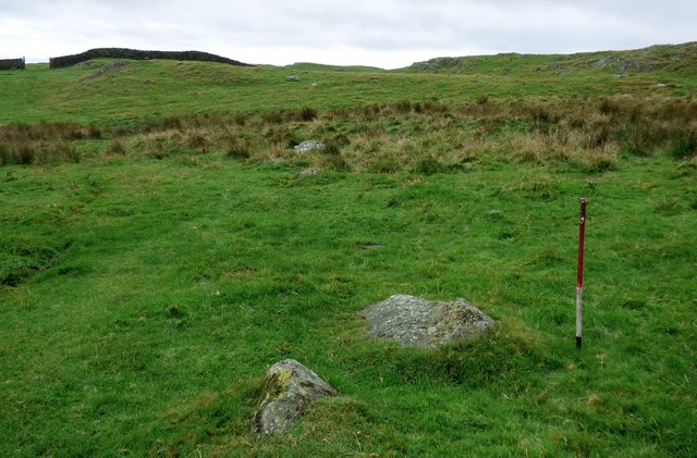
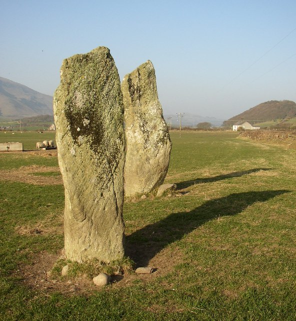
In addition to its natural beauty, Baldmire Wood has a rich history. The forest has evidence of human settlement dating back thousands of years, including ancient burial mounds and remnants of an Iron Age fort. These historical features add a sense of intrigue and wonder to the overall experience of visiting the wood.

Overall, Baldmire Wood in Cumberland is a captivating destination that showcases the beauty and diversity of England's natural landscape. With its stunning trees, abundant wildlife, and rich history, it offers a memorable experience for all who venture into its depths.

If you have any feedback on the listing, please let us know in the comments section below.

Baldmire Wood Images

Images are sourced within 2km of 54.227019/-3.3236303 or Grid Reference SD1382. Thanks to Geograph Open Source API. All images are credited.

The path to Fell Brow A pleasant track with a wonderful view of the south-west Cumbrian coastline.

This photograph was taken during the Coronavirus (COVID-19) pandemic of 2020/21.
The path to Fell Brow
A pleasant track with a wonderful view of the south-west Cumbrian coastline. This photograph was taken during the Coronavirus (COVID-19) pandemic of 2020/21.
In Moor Gill A view back down to the fertile coastal farmland of this corner of Cumbria from the path leading to Black Combe.

This photograph was taken during the Coronavirus (COVID-19) pandemic of 2020/21.
In Moor Gill
A view back down to the fertile coastal farmland of this corner of Cumbria from the path leading to Black Combe. This photograph was taken during the Coronavirus (COVID-19) pandemic of 2020/21.
Bracken-lined Black Combe path In Moor Gill on the approach to Townend Knotts, time to look back and savour the view.  Walney Island can be noted in the centre distance of this shot.

This photograph was taken during the Coronavirus (COVID-19) pandemic of 2020/21.
Bracken-lined Black Combe path
In Moor Gill on the approach to Townend Knotts, time to look back and savour the view. Walney Island can be noted in the centre distance of this shot. This photograph was taken during the Coronavirus (COVID-19) pandemic of 2020/21.
Kirksanton level crossing
A5093 north of Hellpool Bridge
A5093 passing under power lines near Silecroft
A595 at Wood House Farm
The track to Giant's Grave Giant's Grave is two large standing stones
The track to Giant's Grave
Giant's Grave is two large standing stones
Giant's Grave With the hill Seaness (part of Black Combe) in the distance
Giant's Grave
With the hill Seaness (part of Black Combe) in the distance
St Mary's church at Whicham Starting point for a walk up Black Combe.
St Mary's church at Whicham
Starting point for a walk up Black Combe.
The Moorgill  path Start of the climb to Black Combe.
The Moorgill path
Start of the climb to Black Combe.
The path to Black Combe
Old Kirk A low stoney bank is all that is left of the early Medieval church that once stood upon this hillside above the village of Kirksanton.
Old Kirk
A low stoney bank is all that is left of the early Medieval church that once stood upon this hillside above the village of Kirksanton.
Path by Fell Brow
Path by Fell Brow
Track near Kirkbank
Track near Kirkbank
Path up Moorgill
Path up Moorgill
Lacra, NE stone row Two lines of stones leading towards a stone circle represent the remains of a prehistoric stone row.
<span class="nowrap"><a title="https://stonerows.wordpress.com/gazetteer/region/rest-of-england/lacra-north-east/" rel="nofollow ugc noopener" href="https://stonerows.wordpress.com/gazetteer/region/rest-of-england/lacra-north-east/">Link</a><img style="margin-left:2px;" alt="External link" title="External link - shift click to open in new window" src="https://s1.geograph.org.uk/img/external.png" width="10" height="10"/></span>
Lacra, NE stone row
Two lines of stones leading towards a stone circle represent the remains of a prehistoric stone row. LinkExternal link
Lacra, SW stone row A prehistoric stone row composed of two lines of stones.
<span class="nowrap"><a title="https://stonerows.wordpress.com/gazetteer/region/rest-of-england/lacra-south-east/" rel="nofollow ugc noopener" href="https://stonerows.wordpress.com/gazetteer/region/rest-of-england/lacra-south-east/">Link</a><img style="margin-left:2px;" alt="External link" title="External link - shift click to open in new window" src="https://s1.geograph.org.uk/img/external.png" width="10" height="10"/></span>
Lacra, SW stone row
A prehistoric stone row composed of two lines of stones. LinkExternal link
Show me another place!

Baldmire Wood is located at Grid Ref: SD1382 (Lat: 54.227019, Lng: -3.3236303)

Administrative County: Cumbria

District: Copeland

Police Authority: Cumbria

What 3 Words

///budget.essays.humble. Near Haverigg, Cumbria

Related Wikis

Nearby Amenities

Located within 500m of 54.227019,-3.3236303
Bus Stop
Hodgsons Green (E bound)
Bench: no
Bin: no
Lit: no
Naptan AtcoCode: 090050291707
Naptan Bearing: E
Naptan CommonName: Hodgsons Green (E bound)
Naptan Indicator: near
Naptan Landmark: junction to Silecroft
Naptan NaptanCode: cumawgtd
Naptan Street: A5093
Naptan Verified: no
Shelter: no
Source: naptan_import
Tactile Paving: no
Lat/Long: 54.2278744/-3.3306188
Power: tower
Lat/Long: 54.2282903/-3.322826
Power: tower
Lat/Long: 54.2284893/-3.3279451
Power: tower
Lat/Long: 54.2281138/-3.3183092
Noexit: yes
Lat/Long: 54.2276259/-3.3309208
Murthwaite Green Trekking Centre
Website: https://www.murthwaitegreen.co.uk/
Lat/Long: 54.2271777/-3.3310112
Noexit: yes
Lat/Long: 54.22544/-3.3246175
Noexit: yes
Lat/Long: 54.2252893/-3.3252914
Barrier: stile
Bicycle: no
Foot: designated
Horse: no
Motor Vehicle: no
Lat/Long: 54.2279374/-3.3265205
Barrier: stile
Bicycle: no
Foot: yes
Horse: no
Motor Vehicle: no
Lat/Long: 54.2277953/-3.3266146
Power: pole
Lat/Long: 54.2302587/-3.3208426
Power: pole
Lat/Long: 54.2292469/-3.3223396
Power: pole
Lat/Long: 54.2286525/-3.3232174
Power: pole
Lat/Long: 54.2281373/-3.3240126
Power: pole
Lat/Long: 54.2280314/-3.3252633
Power: pole
Lat/Long: 54.2279347/-3.3264085
Power: pole
Lat/Long: 54.2266226/-3.3269609
Power: pole
Lat/Long: 54.2261546/-3.3262625
Power: pole
Lat/Long: 54.2265105/-3.3290613
Power: pole
Lat/Long: 54.2270637/-3.3264771
Power: pole
Lat/Long: 54.2275614/-3.3264332
Power: pole
Lat/Long: 54.2286885/-3.3265
Power: pole
Lat/Long: 54.2295831/-3.3266196
Power: pole
Lat/Long: 54.2300458/-3.3283172
Power: pole
Lat/Long: 54.2257443/-3.3303385
Power: pole
Lat/Long: 54.2238922/-3.3243802
The data included in this document is from www.openstreetmap.org. The data is made available under ODbL.

Have you been to Baldmire Wood?

Leave your review of Baldmire Wood below (or comments, questions and feedback).