Brick Kiln Wood

Wood, Forest in Cumberland Allerdale

England

Brick Kiln Wood

The Towers, Cockermouth 19th Century house, divided into two apartments.
The Towers, Cockermouth Credit: Oliver Dixon

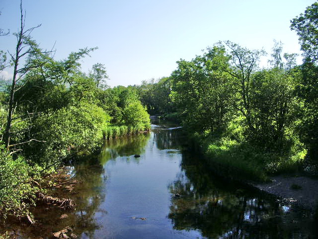
Brick Kiln Wood is a picturesque woodland located in Cumberland, a historic county in northwest England. Situated near the village of Carlisle, this woodland spans an area of approximately 100 acres, making it a significant natural asset in the region.

The wood's name, Brick Kiln Wood, originates from its historical association with brick-making activities that took place in the area during the 19th century. Today, the wood serves as a haven for nature enthusiasts and provides a tranquil escape from the bustling city life.

The woodland is primarily composed of native tree species, including oak, beech, birch, and ash. These trees create a dense canopy that provides shade and shelter for a diverse range of flora and fauna. Walking through Brick Kiln Wood, visitors can expect to encounter an array of wildflowers, such as bluebells and wood anemones, which carpet the forest floor during springtime.

The wood is also home to various woodland creatures, including deer, rabbits, squirrels, and a wide variety of bird species. Nature enthusiasts and birdwatchers will find ample opportunities to observe and appreciate the local wildlife in its natural habitat.

Brick Kiln Wood offers a network of well-maintained footpaths that wind through the woodland, allowing visitors to explore its beauty at their own pace. Additionally, there are picnic areas and benches strategically placed throughout the wood, enabling visitors to relax and enjoy the peaceful surroundings.

Overall, Brick Kiln Wood in Cumberland is a captivating woodland that combines natural beauty, historical significance, and recreational opportunities, making it a cherished destination for locals and visitors alike.

If you have any feedback on the listing, please let us know in the comments section below.

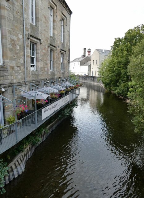
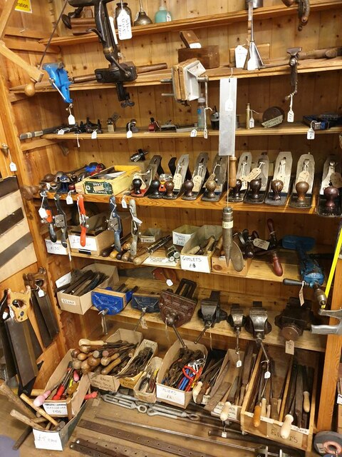
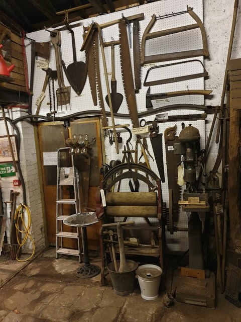
Brick Kiln Wood Images

Images are sourced within 2km of 54.66753/-3.3379969 or Grid Reference NY1331. Thanks to Geograph Open Source API. All images are credited.

The Towers, Cockermouth 19th Century house, divided into two apartments.
The Towers, Cockermouth
19th Century house, divided into two apartments.
A66 eastbound near Grayson Side
A66 at Strawberry How Road overbridge
Direction Sign – Signpost on Lorton Road, Cockermouth Located on the southwest side of the junction of the B5292 Lorton Road and Strawberry How Road in Cockermouth parish. 1 arm and pawn finial.

Milestone Society National ID: CU_NY1229
Direction Sign – Signpost on Lorton Road, Cockermouth
Located on the southwest side of the junction of the B5292 Lorton Road and Strawberry How Road in Cockermouth parish. 1 arm and pawn finial. Milestone Society National ID: CU_NY1229
Castlegate Drive near Cockermouth Hospital
Main Street, Cockermouth
A66 near Scales Farm
River Derwent at Cockermouth In the middle distance, the confluence <a href="https://www.geograph.org.uk/gridref/NY1230">NY1230</a> of the Cocker (to the right) with the Derwent. Jennings Brewery beyond.
River Derwent at Cockermouth
In the middle distance, the confluence NY1230 of the Cocker (to the right) with the Derwent. Jennings Brewery beyond.
Miller's Bridge over the River Derwent Looking towards town. The bridge was opened by HRH the Princess Royal in July 2010.
Miller's Bridge over the River Derwent
Looking towards town. The bridge was opened by HRH the Princess Royal in July 2010.
Brewery Lane footbridge Lowest bridge over the River Cocker.
Brewery Lane footbridge
Lowest bridge over the River Cocker.
Waterloo Street The houses on the right back on to the River Derwent.
Waterloo Street
The houses on the right back on to the River Derwent.
Confluence  of the River Cocker with the River Derwent A small public park where the Cocker (nearest camera) flows into the Derwent.
Confluence of the River Cocker with the River Derwent
A small public park where the Cocker (nearest camera) flows into the Derwent.
Brewery Lane The family firm of Jennings opened this brewery in 1874 and functioned as an independent brewery for well over a century. In 2005, the business was acquired by Marstons and there is no longer any member of the Jennings family associated with the business.
Brewery Lane
The family firm of Jennings opened this brewery in 1874 and functioned as an independent brewery for well over a century. In 2005, the business was acquired by Marstons and there is no longer any member of the Jennings family associated with the business.
Jennings Brewery yard The family firm of Jennings opened this brewery in 1874 and functioned as an independent brewery for well over a century. In 2005, the business was acquired by Marstons and there is no longer any member of the Jennings family associated with the business.

Presumably the colour coding of the different kegs has some significance.
Jennings Brewery yard
The family firm of Jennings opened this brewery in 1874 and functioned as an independent brewery for well over a century. In 2005, the business was acquired by Marstons and there is no longer any member of the Jennings family associated with the business. Presumably the colour coding of the different kegs has some significance.
Archway to Jennings Brewery The family firm of Jennings opened this brewery in 1874 and functioned as an independent brewery for well over a century. In 2005, the business was acquired by Marstons and there is no longer any member of the Jennings family associated with the business.
Archway to Jennings Brewery
The family firm of Jennings opened this brewery in 1874 and functioned as an independent brewery for well over a century. In 2005, the business was acquired by Marstons and there is no longer any member of the Jennings family associated with the business.
Rear of the Honest Lawyer Restaurant Overlooking the River Cocker.
Rear of the Honest Lawyer Restaurant
Overlooking the River Cocker.
Planes and other hand tools Part of the incredible display of hardware in the upstairs room of JB Banks in Market Place.
Planes and other hand tools
Part of the incredible display of hardware in the upstairs room of JB Banks in Market Place.
Saws, other tools and household items Part of the incredible display of hardware in the upstairs room of JB Banks in Market Place.
Saws, other tools and household items
Part of the incredible display of hardware in the upstairs room of JB Banks in Market Place.
Show me another place!

Brick Kiln Wood is located at Grid Ref: NY1331 (Lat: 54.66753, Lng: -3.3379969)

Administrative County: Cumbria

District: Allerdale

Police Authority: Cumbria

What 3 Words

///germinate.digested.ridiculed. Near Cockermouth, Cumbria

Related Wikis

Cockermouth School

Cockermouth School is a coeducational secondary school and sixth form located in Cockermouth in the English county of Cumbria.Previously a community school...

Slate Fell

Slate Fell is a low hill in the North Western part of the English Lake District. It lies only about a mile from the busy market town of Cockermouth, and...

Cockermouth Castle

Cockermouth Castle (grid reference NY123309) is in the town of Cockermouth in Cumbria on a site by the junction of the Rivers Cocker and Derwent. It is...

Cockermouth Town Hall

Cockermouth Town Hall is a municipal structure in Market Street, Cockermouth, Cumbria, England. The structure, which is the meeting place of Cockermouth...
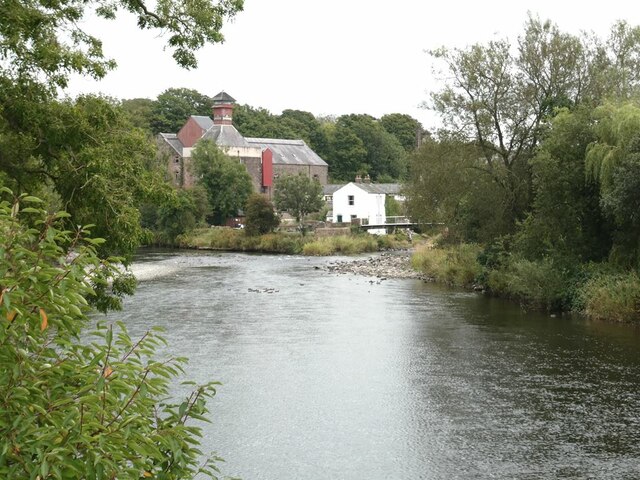
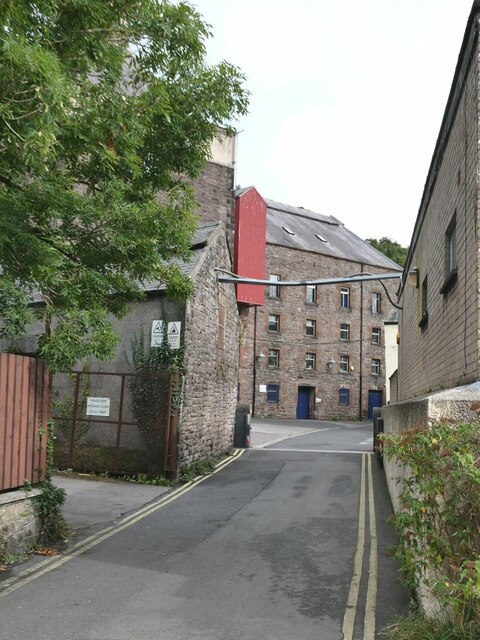
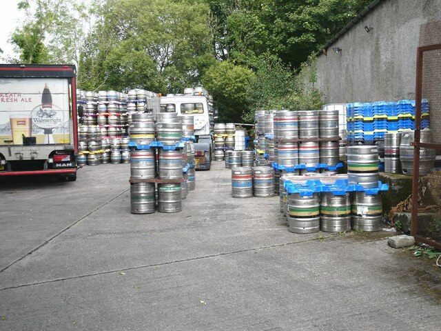
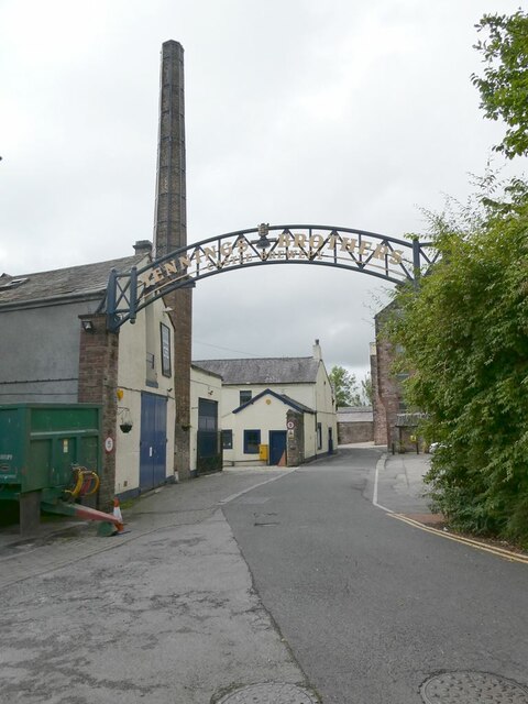
Jennings Brewery

Jennings Brewery was established as a family concern in 1828 in the village of Lorton, between Buttermere and Cockermouth in the Lake District, England...
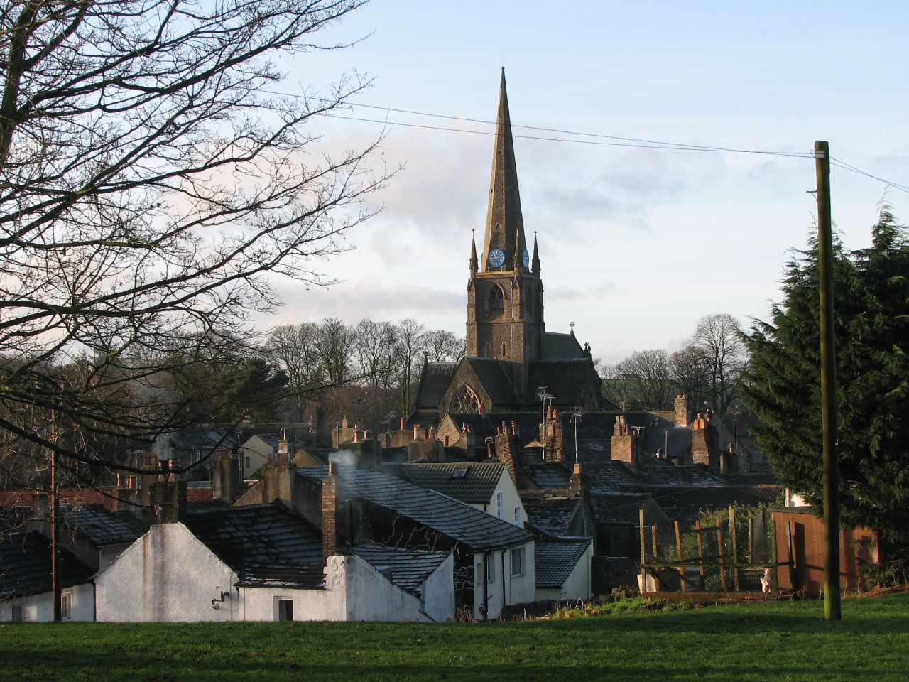
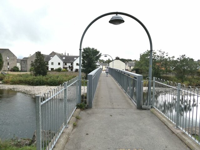
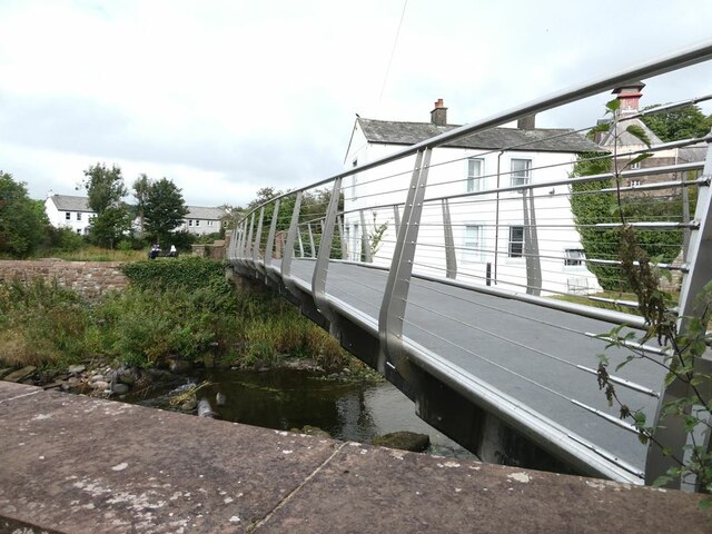
Cockermouth

Cockermouth is a market town and civil parish in the Cumberland unitary area of Cumbria, England, so named because it is at the confluence of the River...

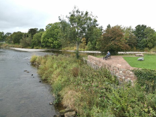
River Cocker, Cumbria

The River Cocker is a river in the Lake District in North West England, in the county of Cumbria. Its source is at the head of the Buttermere valley. It...

Cockermouth United Reformed Church

Cockermouth United Reformed Church is a congregation first established at Cockermouth, England, in 1651. Originally known as Cockermouth Independent Church...

Nearby Amenities

Located within 500m of 54.66753,-3.3379969
Barrier: kissing_gate
Lat/Long: 54.6686484/-3.3440919
Power: pole
Lat/Long: 54.6679641/-3.3312412
Power: pole
Lat/Long: 54.6683057/-3.3317658
Power: pole
Lat/Long: 54.6691923/-3.3322903
Power: pole
Lat/Long: 54.6699713/-3.3329362
Power: pole
Lat/Long: 54.6707775/-3.3335012
St Helen's Brow
Place: locality
Lat/Long: 54.6678981/-3.3316465
Ford: yes
Lat/Long: 54.6682999/-3.3423594
Power: pole
Lat/Long: 54.6687479/-3.3442342
Power: pole
Lat/Long: 54.6682973/-3.3441784
Power: pole
Lat/Long: 54.6672741/-3.3440565
Power: pole
Lat/Long: 54.6662831/-3.3439469
Power: pole
Lat/Long: 54.6659831/-3.3439056
Power: pole
Lat/Long: 54.6652491/-3.3433062
Power: pole
Lat/Long: 54.6645068/-3.3426799
Power: pole
Lat/Long: 54.663774/-3.342066
Power: pole
Lat/Long: 54.6682632/-3.3313068
Power: pole
Lat/Long: 54.6677265/-3.3324023
Power: pole
Lat/Long: 54.6669758/-3.3339504
Power: pole
Lat/Long: 54.6664822/-3.3349404
Power: pole
Lat/Long: 54.6663327/-3.3364823
Power: pole
Lat/Long: 54.6661666/-3.3380904
Power: pole
Lat/Long: 54.6662036/-3.3401965
Power: pole
Lat/Long: 54.6662407/-3.3418728
The data included in this document is from www.openstreetmap.org. The data is made available under ODbL.

Have you been to Brick Kiln Wood?

Leave your review of Brick Kiln Wood below (or comments, questions and feedback).