Ansley

Settlement in Warwickshire North Warwickshire

England

Ansley

Birmingham Road, Ansley The 'Slow down think!' sign is labelled 'Warwickshire Police' and 'Warwickshire County Council'. The speed limit here is 30mph.
Birmingham Road, Ansley Credit: Stephen McKay

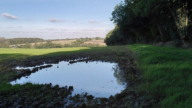
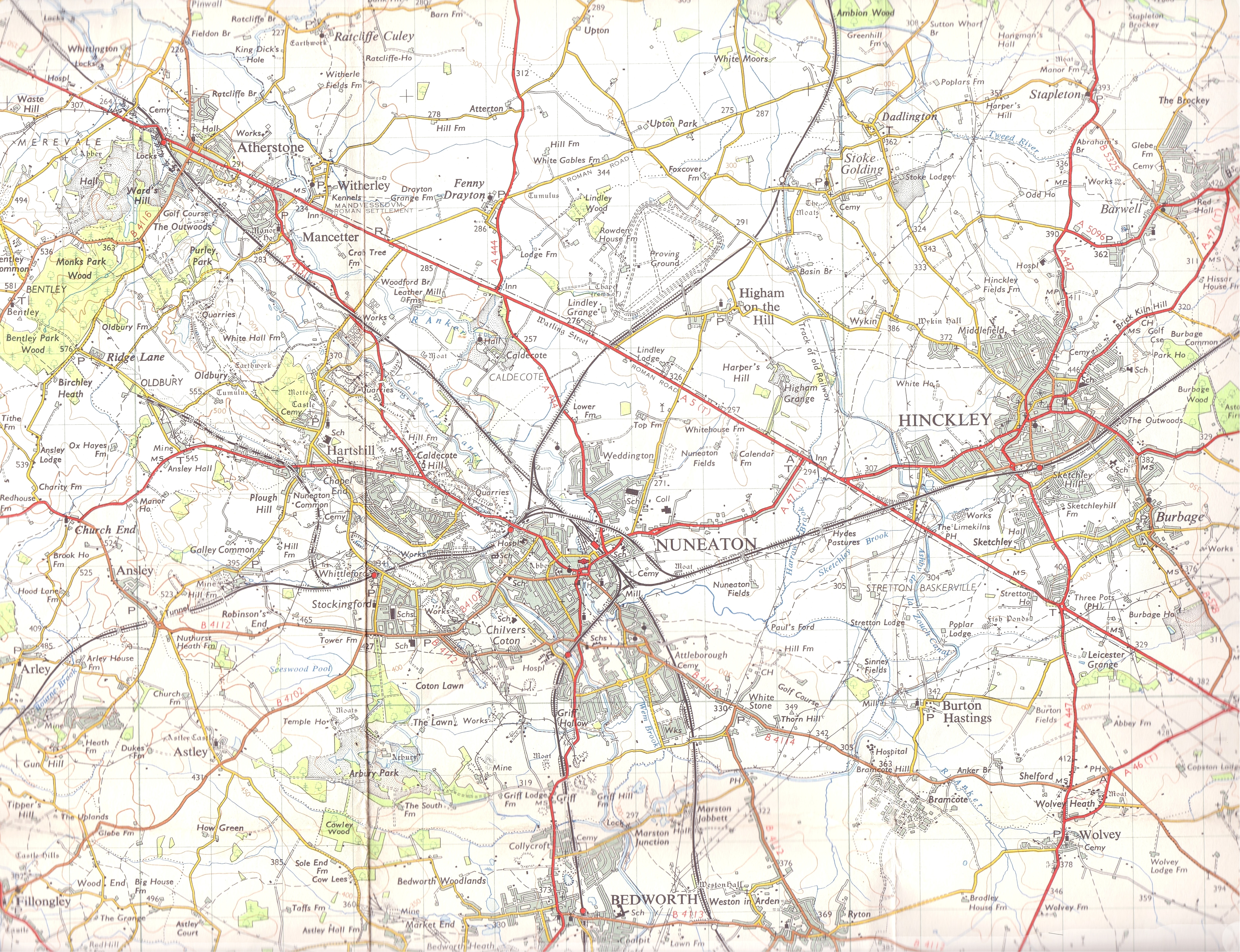
Ansley is a small village located in the county of Warwickshire, England. It is situated approximately five miles north of the town of Nuneaton and is part of the North Warwickshire district. The village is nestled in a rural setting, surrounded by picturesque countryside and farmland.

Ansley has a rich history that can be traced back to the Domesday Book of 1086, where it is mentioned as "Anelei." The village has retained its traditional charm, with a mix of old cottages and newer buildings. Its quaint streets are lined with trees, creating a pleasant and peaceful atmosphere.

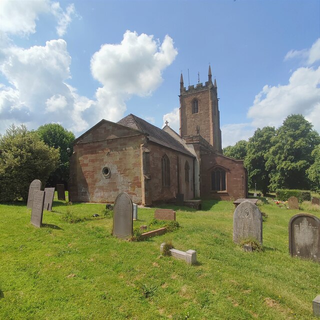
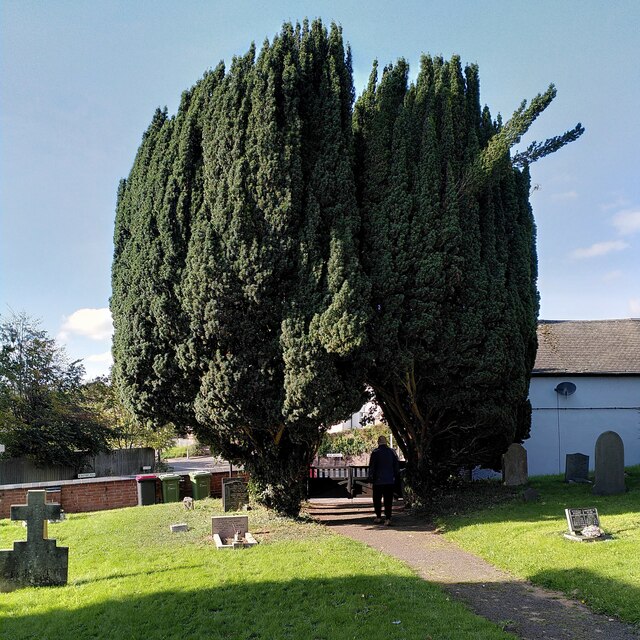
The village is home to a close-knit community, with a population of around 2,000 residents. It has a range of amenities to cater to the needs of its inhabitants, including a primary school, a village hall, a church, and a few local shops. The village also has a pub, which serves as a popular meeting place for locals and visitors alike.

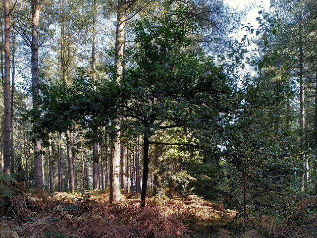
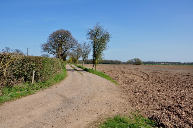
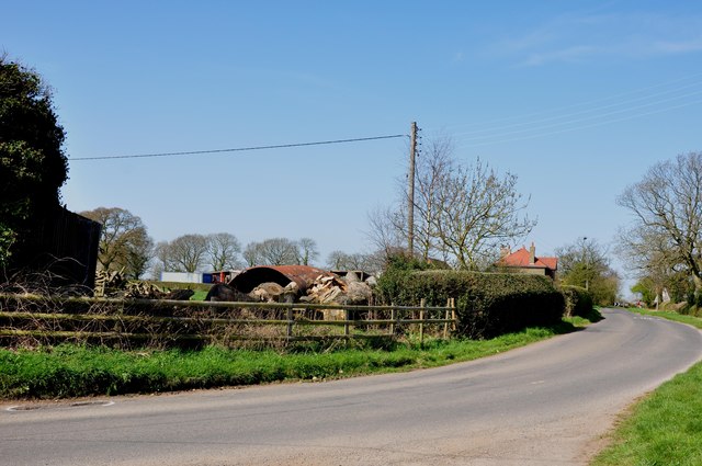
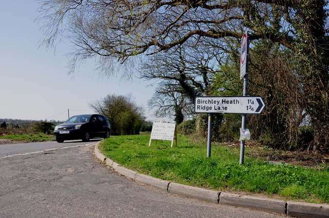
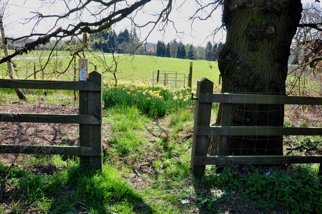
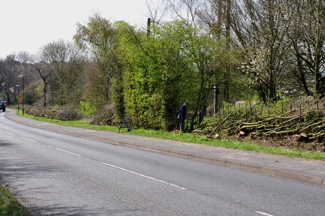
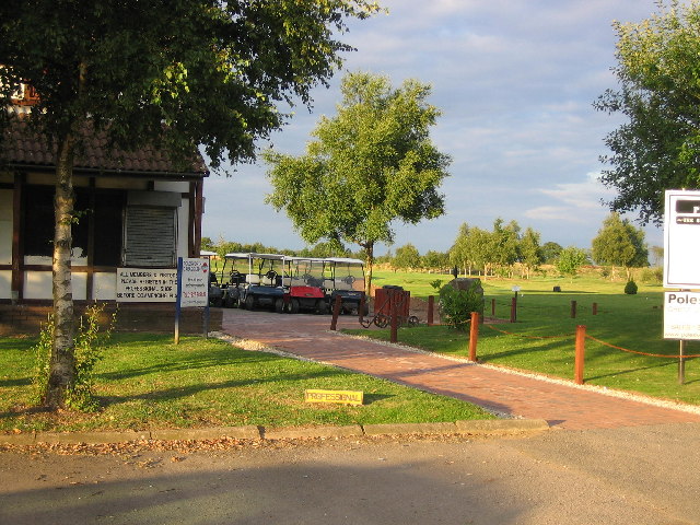
Ansley boasts beautiful natural surroundings, making it an ideal location for outdoor enthusiasts. The area is crisscrossed with footpaths and bridleways, allowing residents and visitors to explore the stunning Warwickshire countryside. The nearby Ansley Hall and Ansley Hall Farm are also popular landmarks, adding to the village's historical appeal.

Overall, Ansley offers a peaceful and idyllic setting for those seeking a tranquil rural lifestyle. Its rich history, friendly community, and beautiful surroundings make it a desirable place to live or visit in Warwickshire.

If you have any feedback on the listing, please let us know in the comments section below.

Ansley Images

Images are sourced within 2km of 52.526361/-1.565523 or Grid Reference SP2992. Thanks to Geograph Open Source API. All images are credited.

Birmingham Road, Ansley The 'Slow down think!' sign is labelled 'Warwickshire Police' and 'Warwickshire County Council'. The speed limit here is 30mph.
Birmingham Road, Ansley
The 'Slow down think!' sign is labelled 'Warwickshire Police' and 'Warwickshire County Council'. The speed limit here is 30mph.
St Lawrence's Church
Old Arley with church tower So named to distinguish it from the neighbouring mining village of New Arley, Old Arley predates the modern coal industry by centuries. St Wilfrid's church was built in the 14th century and was restored in 1873; see the listing at the Historic England site <span class="nowrap"><a title="https://historicengland.org.uk/listing/the-list/list-entry/1034773?section=official-list-entry" rel="nofollow ugc noopener" href="https://historicengland.org.uk/listing/the-list/list-entry/1034773?section=official-list-entry">Link</a><img style="margin-left:2px;" alt="External link" title="External link - shift click to open in new window" src="https://s1.geograph.org.uk/img/external.png" width="10" height="10"/></span> .
Old Arley with church tower
So named to distinguish it from the neighbouring mining village of New Arley, Old Arley predates the modern coal industry by centuries. St Wilfrid's church was built in the 14th century and was restored in 1873; see the listing at the Historic England site LinkExternal link .
Yew arch, Arley churchyard Two yew trees growing to either side of the gates to St Wilfrid's churchyard form a pointed arch. The tree to the right seems to be having a bad hair day (or perhaps a bad hair epoch, since these are yews and very long-lived).
Yew arch, Arley churchyard
Two yew trees growing to either side of the gates to St Wilfrid's churchyard form a pointed arch. The tree to the right seems to be having a bad hair day (or perhaps a bad hair epoch, since these are yews and very long-lived).
A young oak tree among the conifers, Arley Wood Arley Wood belongs to the Forestry Commission and is a PAWS or Planted Ancient Woodland Site, an ancient woodland that was largely destroyed and turned into a conifer plantation some time in the mid to late twentieth century. 

According to Arley Parish Council the replanting was carried out in the 1960s to provide pit props for Arley Colliery. The mine was closed in 1968, owing to falling demand for coal as a household fuel, so the destruction was for nothing (though the nearby colliery at Daw Mill continued in production until 2012). 

The wood is slowly being returned to a more mixed and quasi-natural state, with oaks and other broadleaved trees planted in clearings. See <a href="https://www.geograph.org.uk/photo/7630689">SP2891 : Oak tree in Arley Wood</a>, also the sites of the Woodland Trust <span class="nowrap"><a title="https://www.woodlandtrust.org.uk/visiting-woods/woods/arley-wood/" rel="nofollow ugc noopener" href="https://www.woodlandtrust.org.uk/visiting-woods/woods/arley-wood/">Link</a><img style="margin-left:2px;" alt="External link" title="External link - shift click to open in new window" src="https://s1.geograph.org.uk/img/external.png" width="10" height="10"/></span> and Arley Parish Council <span class="nowrap"><a title="https://www.arleyparishcouncil.co.uk/about-arley/neighbourhood-plan" rel="nofollow ugc noopener" href="https://www.arleyparishcouncil.co.uk/about-arley/neighbourhood-plan">Link</a><img style="margin-left:2px;" alt="External link" title="External link - shift click to open in new window" src="https://s1.geograph.org.uk/img/external.png" width="10" height="10"/></span> .
A young oak tree among the conifers, Arley Wood
Arley Wood belongs to the Forestry Commission and is a PAWS or Planted Ancient Woodland Site, an ancient woodland that was largely destroyed and turned into a conifer plantation some time in the mid to late twentieth century. According to Arley Parish Council the replanting was carried out in the 1960s to provide pit props for Arley Colliery. The mine was closed in 1968, owing to falling demand for coal as a household fuel, so the destruction was for nothing (though the nearby colliery at Daw Mill continued in production until 2012). The wood is slowly being returned to a more mixed and quasi-natural state, with oaks and other broadleaved trees planted in clearings. See SP2891 : Oak tree in Arley Wood, also the sites of the Woodland Trust LinkExternal link and Arley Parish Council LinkExternal link .
Oak tree in Arley Wood Arley Wood, an ancient broadleaved wood, was turned into a conifer plantation in the 1960s by the Forestry Commission, with great loss of wildlife habitat for little commercial gain. The Commission now recognises this and is gradually planting broadleaved trees. A young oak is growing among the ranks of conifers, with a birch off to the right.

"For its first twenty-five years, the Forestry Commission had little direct impact on woodland; but after 1945 foresters acquired woods and treated them as if they were moorland, trying to poison or otherwise destroy the existing vegetation and to replace it by plantations, usually of conifers. This was justified by a crude kind of cost-benefit analysis... a third of our ancient woods have been the victims of this habit of thought. Successful replanting destroys not only the trees of a wood but the herbaceous plants as well, which succumb to evergreen shade or are buried by heavy leaf-litter." (Oliver Rackham, The History of the Countryside, Phoenix Press, 2000, pp95-96). See also <a href="https://www.geograph.org.uk/photo/7630660">SP2891 : A young oak tree among the conifers, Arley Wood</a>.
Oak tree in Arley Wood
Arley Wood, an ancient broadleaved wood, was turned into a conifer plantation in the 1960s by the Forestry Commission, with great loss of wildlife habitat for little commercial gain. The Commission now recognises this and is gradually planting broadleaved trees. A young oak is growing among the ranks of conifers, with a birch off to the right. "For its first twenty-five years, the Forestry Commission had little direct impact on woodland; but after 1945 foresters acquired woods and treated them as if they were moorland, trying to poison or otherwise destroy the existing vegetation and to replace it by plantations, usually of conifers. This was justified by a crude kind of cost-benefit analysis... a third of our ancient woods have been the victims of this habit of thought. Successful replanting destroys not only the trees of a wood but the herbaceous plants as well, which succumb to evergreen shade or are buried by heavy leaf-litter." (Oliver Rackham, The History of the Countryside, Phoenix Press, 2000, pp95-96). See also SP2891 : A young oak tree among the conifers, Arley Wood.
Path through Arley Wood The ancient Arley Wood was turned into a conifer plantation in the 1960s, with a great loss of wildlife; note the ranks of trees of a single species and the dense undergrowth of bracken. It is now slowly being replanted with native broadleaved species such as oak. See <a href="https://www.geograph.org.uk/photo/7630660">SP2891 : A young oak tree among the conifers, Arley Wood</a> and <a href="https://www.geograph.org.uk/photo/7630689">SP2891 : Oak tree in Arley Wood</a>.

Though the loss is greatly to be regretted, it remains a peaceful place, beautiful in its way, the rustling of the trees blotting out human noise, apart from the occasional passing of aircraft overhead or the hooting of a train on the nearby railway.
Path through Arley Wood
The ancient Arley Wood was turned into a conifer plantation in the 1960s, with a great loss of wildlife; note the ranks of trees of a single species and the dense undergrowth of bracken. It is now slowly being replanted with native broadleaved species such as oak. See SP2891 : A young oak tree among the conifers, Arley Wood and SP2891 : Oak tree in Arley Wood. Though the loss is greatly to be regretted, it remains a peaceful place, beautiful in its way, the rustling of the trees blotting out human noise, apart from the occasional passing of aircraft overhead or the hooting of a train on the nearby railway.
The northern edge of Arley Wood Though Arley Wood was turned into a conifer plantation in the 1960s, its edges remain those of an ancient wood: sinuous, curving or zigzag, as described by Oliver Rackham, with broadleaved trees and a woodbank and ditch. The slight rise of the land outside the wood to the ditch along the edge can be seen very clearly here. The field beyond the wood is very muddy and has been reseeded by the farmer; a large puddle has formed after heavy rain. The land falls away to the Bourne Brook, with more fields and woodland beyond, as the land rises again towards Ansley. See also <a href="https://www.geograph.org.uk/photo/7630660">SP2891 : A young oak tree among the conifers, Arley Wood</a> and <a href="https://www.geograph.org.uk/photo/7630689">SP2891 : Oak tree in Arley Wood</a>.
The northern edge of Arley Wood
Though Arley Wood was turned into a conifer plantation in the 1960s, its edges remain those of an ancient wood: sinuous, curving or zigzag, as described by Oliver Rackham, with broadleaved trees and a woodbank and ditch. The slight rise of the land outside the wood to the ditch along the edge can be seen very clearly here. The field beyond the wood is very muddy and has been reseeded by the farmer; a large puddle has formed after heavy rain. The land falls away to the Bourne Brook, with more fields and woodland beyond, as the land rises again towards Ansley. See also SP2891 : A young oak tree among the conifers, Arley Wood and SP2891 : Oak tree in Arley Wood.
North Eastern edge of Arley Wood The edge of the wood looks well-trimmed here, and the boundary ditch is clearly visible, crossed by a plank footbridge. See <a href="https://www.geograph.org.uk/photo/7630845">SP2791 : The northern edge of Arley Wood</a>, also <a href="https://www.geograph.org.uk/photo/7630660">SP2891 : A young oak tree among the conifers, Arley Wood</a> and <a href="https://www.geograph.org.uk/photo/7630689">SP2891 : Oak tree in Arley Wood</a>.
North Eastern edge of Arley Wood
The edge of the wood looks well-trimmed here, and the boundary ditch is clearly visible, crossed by a plank footbridge. See SP2791 : The northern edge of Arley Wood, also SP2891 : A young oak tree among the conifers, Arley Wood and SP2891 : Oak tree in Arley Wood.
South Eastern gate to Arley Wood, with snail bench The bench was installed on the route of an Arley parish walk, an offshoot of a longer North Warwickshire Heritage Trail. It carries a couplet from the poem 'Leisure', by the Welsh poet and tramp W H Davies. The whole poem can be seen at his Wikipedia entry <span class="nowrap"><a title="https://en.m.wikipedia.org/wiki/W._H._Davies" rel="nofollow ugc noopener" href="https://en.m.wikipedia.org/wiki/W._H._Davies">Link</a><img style="margin-left:2px;" alt="External link" title="External link - shift click to open in new window" src="https://s1.geograph.org.uk/img/external.png" width="10" height="10"/></span> ; for the footpaths, see the North Warwickshire council site <span class="nowrap"><a title="https://www.northwarks.gov.uk/download/downloads/id/8388/arley_parish_walk.pdf" rel="nofollow ugc noopener" href="https://www.northwarks.gov.uk/download/downloads/id/8388/arley_parish_walk.pdf">Link</a><img style="margin-left:2px;" alt="External link" title="External link - shift click to open in new window" src="https://s1.geograph.org.uk/img/external.png" width="10" height="10"/></span> .
South Eastern gate to Arley Wood, with snail bench
The bench was installed on the route of an Arley parish walk, an offshoot of a longer North Warwickshire Heritage Trail. It carries a couplet from the poem 'Leisure', by the Welsh poet and tramp W H Davies. The whole poem can be seen at his Wikipedia entry LinkExternal link ; for the footpaths, see the North Warwickshire council site LinkExternal link .
Ash trees by the lane to Arley House Farm A row, almost a small grove, of ash trees flourishes between the lane and a small brook that flows around landscaped former colliery land. For how much longer, though? The threat of ash dieback makes me want to photograph ash trees to record them for posterity.
Ash trees by the lane to Arley House Farm
A row, almost a small grove, of ash trees flourishes between the lane and a small brook that flows around landscaped former colliery land. For how much longer, though? The threat of ash dieback makes me want to photograph ash trees to record them for posterity.
Access track to Birchley Farm off Birchley Heath Road There is a large locked steel gate to the left of the picture.
Access track to Birchley Farm off Birchley Heath Road
There is a large locked steel gate to the left of the picture.
Cottage Farm on Birchley Heath Road
Birchley Heath Road leaving the B4114 Nuneaton Road The small sign was advertising a "Ruff Luck Rescue" fun dog show at Glebe Farm.
Birchley Heath Road leaving the B4114 Nuneaton Road
The small sign was advertising a "Ruff Luck Rescue" fun dog show at Glebe Farm.
Footpath through the Daffodils to a kissing gate
Entrance to Rye Hill Farm off the B4114 Nuneaton Road A footpath runs across the field to the right of the farm.
Entrance to Rye Hill Farm off the B4114 Nuneaton Road
A footpath runs across the field to the right of the farm.
Hedge Laying the old fashioned way at Hill Top The gentleman almost hidden in the centre of the picture, is doing an outstanding job , laying this very overgrown hedge, the way it has been done for hundreds of years, not just chopping it off with a chainsaw.
Hedge Laying the old fashioned way at Hill Top
The gentleman almost hidden in the centre of the picture, is doing an outstanding job , laying this very overgrown hedge, the way it has been done for hundreds of years, not just chopping it off with a chainsaw.
Leaving Gun Hill on Church Lane In the distance across the valley, Old Arley can just be seen behind the telegraph pole.
Leaving Gun Hill on Church Lane
In the distance across the valley, Old Arley can just be seen behind the telegraph pole.
Show me another place!

Ansley is located at Grid Ref: SP2992 (Lat: 52.526361, Lng: -1.565523)

Administrative County: Warwickshire

District: North Warwickshire

Police Authority: Warwickshire

What 3 Words

///awoke.helpful.removed. Near Hartshill, Warwickshire

Related Wikis

Nearby Amenities

Located within 500m of 52.526361,-1.565523
Bus Stop
Village Farm
Bus: yes
Naptan AtcoCode: 4200F173601
Naptan Bearing: N
Naptan CommonName: Village Farm
Naptan Indicator: Nr
Naptan NaptanCode: wardadat
Naptan Street: Birmingham Road
Naptan Verified: no
Public Transport: platform
Source: naptan_import
Lat/Long: 52.5237495/-1.5644961
Bus Stop
Village Farm
Bus: yes
Naptan AtcoCode: 4200F173602
Naptan Bearing: S
Naptan CommonName: Village Farm
Naptan Indicator: Opp
Naptan NaptanCode: wardadaw
Naptan Street: Birmingham Road
Naptan Verified: no
Public Transport: platform
Source: naptan_import
Lat/Long: 52.5237084/-1.5644002
Bus Stop
Ansley Lane
Bus: yes
Naptan AtcoCode: 4200F173701
Naptan Bearing: S
Naptan CommonName: Ansley Lane
Naptan Indicator: Opp
Naptan NaptanCode: wardadga
Naptan Street: Birmingham Road
Naptan Verified: no
Public Transport: platform
Source: naptan_import
Lat/Long: 52.5260762/-1.5652156
Bus Stop
Ansley Lane
Bus: yes
Naptan AtcoCode: 4200F173702
Naptan Bearing: N
Naptan CommonName: Ansley Lane
Naptan Indicator: Adj
Naptan NaptanCode: wardadgd
Naptan Street: Birmingham Road
Naptan Verified: no
Public Transport: platform
Source: naptan_import
Lat/Long: 52.5260797/-1.565424
Power: pole
Source: Warwicks CC Aerial Imagery 2013
Lat/Long: 52.5264806/-1.5678429
Power: pole
Source: Warwicks CC Aerial Imagery 2013
Lat/Long: 52.5271187/-1.5681103
Power: pole
Source: Warwicks CC Aerial Imagery 2013
Lat/Long: 52.5226063/-1.5652153
Power: pole
Source: Warwicks CC Aerial Imagery 2013
Lat/Long: 52.5233651/-1.5660817
Power: pole
Source: Warwicks CC Aerial Imagery 2013
Lat/Long: 52.5251178/-1.571768
Power: pole
Source: Warwicks CC Aerial Imagery 2013
Lat/Long: 52.5252941/-1.5703303
Power: pole
Source: Warwicks CC Aerial Imagery 2013
Lat/Long: 52.5254794/-1.5688674
Power: pole
Source: Warwicks CC Aerial Imagery 2013
Lat/Long: 52.5256465/-1.5675328
Power: pole
Source: Warwicks CC Aerial Imagery 2013
Lat/Long: 52.5249742/-1.5672538
Power: pole
Source: Warwicks CC Aerial Imagery 2013
Lat/Long: 52.5240489/-1.566881
Generator Method: photovoltaic
Generator Output Electricity: yes
Generator Source: solar
Generator Type: solar_photovoltaic_panel
Location: roof
Power: generator
Lat/Long: 52.5224849/-1.5618235
The data included in this document is from www.openstreetmap.org. The data is made available under ODbL.

Have you been to Ansley?

Leave your review of Ansley below (or comments, questions and feedback).