Ansley Common

Settlement in Warwickshire North Warwickshire

England

Ansley Common

Lady Wood Farm, Ridge Lane
Lady Wood Farm, Ridge Lane Credit: John Brightley

Ansley Common is a small village located in the northern part of Warwickshire, England. Situated near Nuneaton, it forms a part of the North Warwickshire district. The village is surrounded by picturesque countryside, offering residents and visitors a tranquil and charming environment.

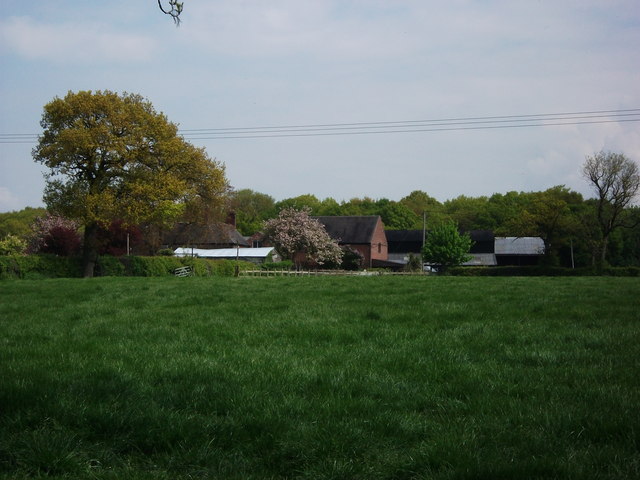
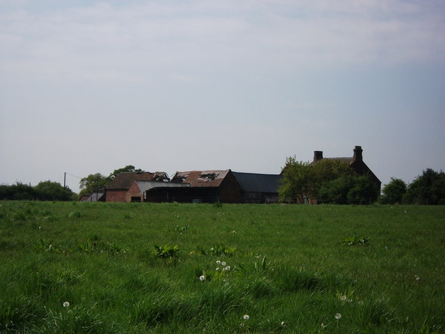
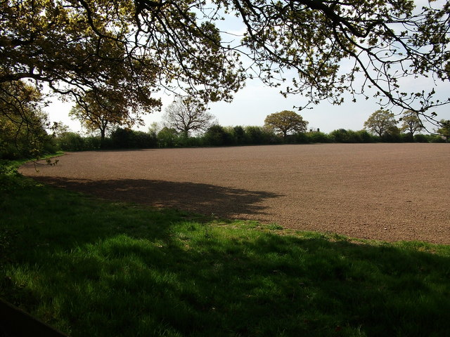
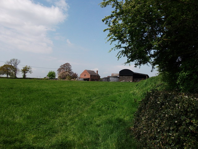
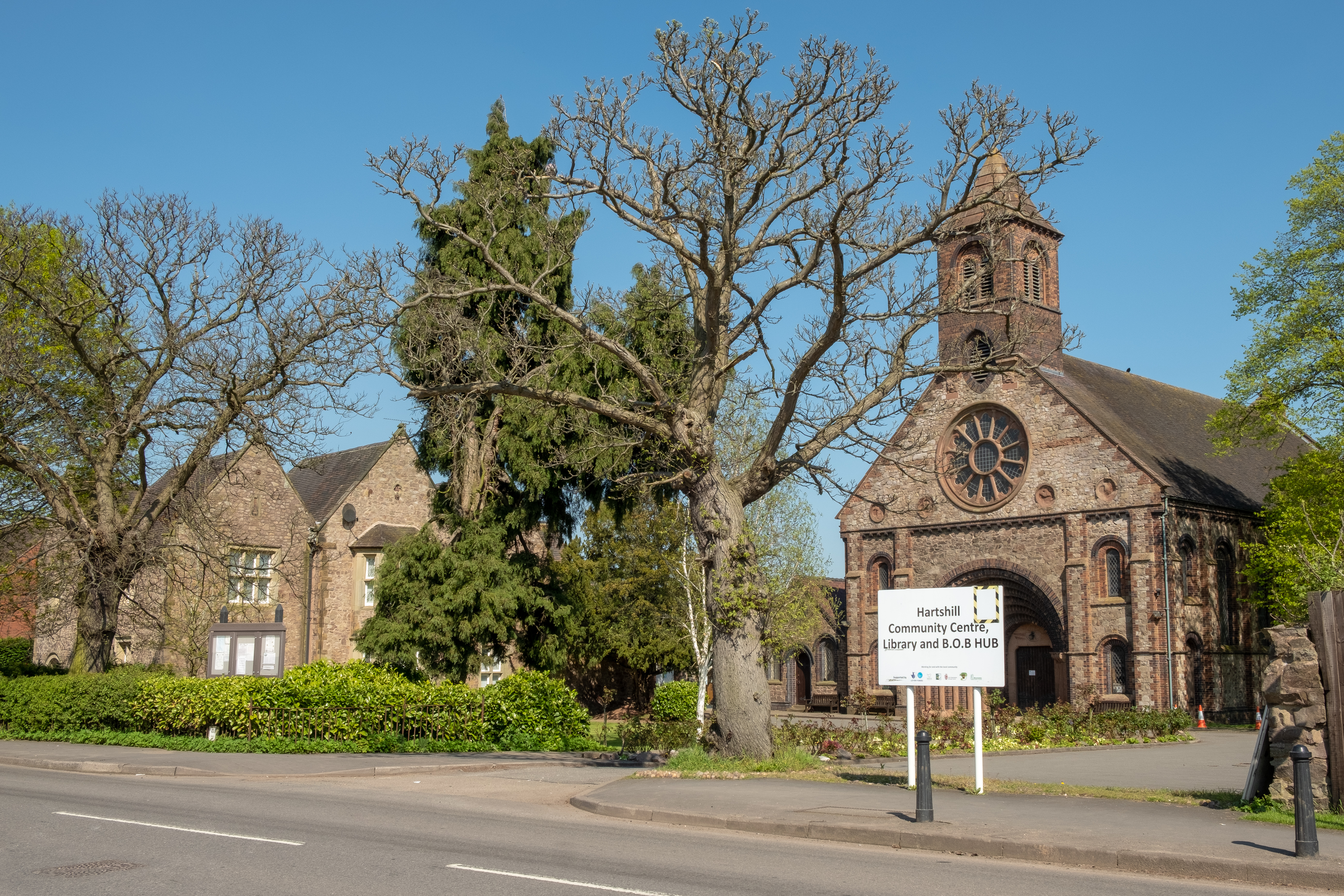
Ansley Common is primarily a residential area with a close-knit community. It is well-known for its beautiful landscapes, including expansive green fields and woodlands, making it an ideal location for nature enthusiasts and outdoor activities. The village is also home to several historic buildings, showcasing its rich heritage.

The village is well-connected to nearby towns and cities, with easy access to major transportation routes. The A5 road runs nearby, providing convenient links to Nuneaton, Tamworth, and Birmingham. Public transportation options are also available, offering regular bus services to surrounding areas.

Ansley Common offers a range of amenities for its residents, including a local primary school, a village hall, and a few small businesses. For additional services and facilities, the nearby town of Nuneaton provides a wider range of options, including shopping centers, supermarkets, healthcare facilities, and recreational activities.

The village hosts various community events throughout the year, fostering a sense of unity and social interaction among its residents. These events include summer fairs, sports tournaments, and seasonal celebrations.

Overall, Ansley Common is a peaceful and scenic village that provides a high quality of life for its residents, with its natural beauty, community spirit, and convenient location.

If you have any feedback on the listing, please let us know in the comments section below.

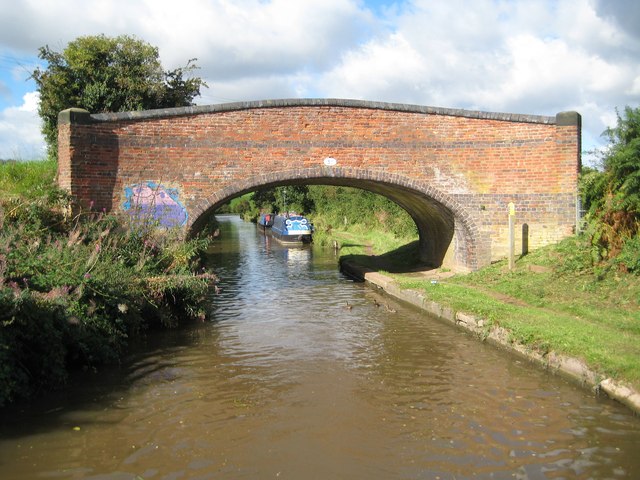
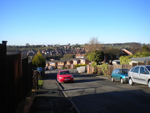
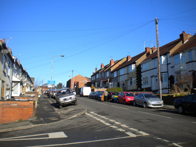
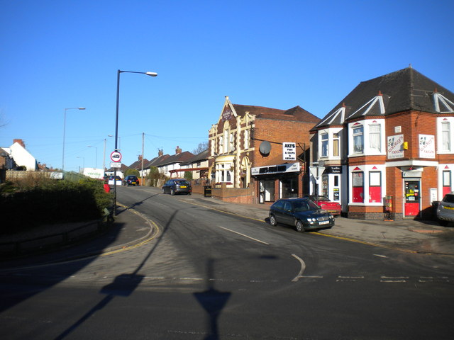
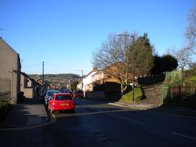
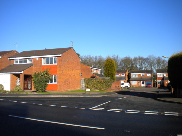
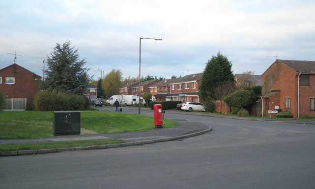
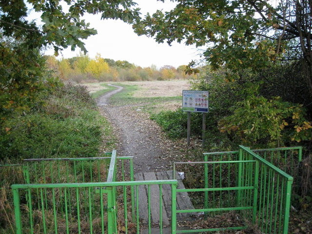
Ansley Common Images

Images are sourced within 2km of 52.538869/-1.535527 or Grid Reference SP3193. Thanks to Geograph Open Source API. All images are credited.

Lady Wood Farm, Ridge Lane
The rear of Ox Hayes Farm Seen from the path to Ridge Lane.
The old barns here are in a very derelict condition.
The rear of Ox Hayes Farm
Seen from the path to Ridge Lane. The old barns here are in a very derelict condition.
Field near Ox Hayes Farm On the edge of the gridsquare, a view towards Ox Hayes Farm from a footbridge over the stream. The public footpath turns left here and goes along the field boundary on the left.
Field near Ox Hayes Farm
On the edge of the gridsquare, a view towards Ox Hayes Farm from a footbridge over the stream. The public footpath turns left here and goes along the field boundary on the left.
Lady Wood Farm, Ridge Lane Seen from the public footpath to the east of the farm.
Lady Wood Farm, Ridge Lane
Seen from the public footpath to the east of the farm.
Coventry Canal: Hartshill winding hole A winding hole enables full length narrowboats to make a 180 degree turn.
Coventry Canal: Hartshill winding hole
A winding hole enables full length narrowboats to make a 180 degree turn.
Coventry Canal: Bridge Number 33: Stoneleigh Glebe Farm Bridge Although this bridge has never been anything other than a farmers' bridge enabling access across the canal between fields it still merits Grade II Listed structure status. The fine semi-elliptical arch and the outwardly curving parapet with its blue brick saddleback coping distinguish it from some other original bridges along the canal. It was probably designed by James Brindley and built circa 1770. Very regrettably, even though it is in the middle of nowhere, some pondlife has crawled out of the canal and thought it a good idea to daub it with some paint.
Coventry Canal: Bridge Number 33: Stoneleigh Glebe Farm Bridge
Although this bridge has never been anything other than a farmers' bridge enabling access across the canal between fields it still merits Grade II Listed structure status. The fine semi-elliptical arch and the outwardly curving parapet with its blue brick saddleback coping distinguish it from some other original bridges along the canal. It was probably designed by James Brindley and built circa 1770. Very regrettably, even though it is in the middle of nowhere, some pondlife has crawled out of the canal and thought it a good idea to daub it with some paint.
Housing on Pipers Lane, west of Nuneaton This isolated row of houses stands on the west side of Pipers Lane, opposite Gin Wood. The bus visible in the distance is operating route 41 to Nuneaton, which normally continues to Birchley Heath but was terminating here due to roadworks on Ridge Lane.
Housing on Pipers Lane, west of Nuneaton
This isolated row of houses stands on the west side of Pipers Lane, opposite Gin Wood. The bus visible in the distance is operating route 41 to Nuneaton, which normally continues to Birchley Heath but was terminating here due to roadworks on Ridge Lane.
North end of Pipers Lane, west of Nuneaton The trees on the left line a former railway embankment; an abutment of the bridge that once carried the railway across Pipers Lane can just be picked out in the shade on the right. The railway was a freight branch from Stockingford, on the former Midland Railway line from Nuneaton to Birmingham, to Green's Wharf and Ansley Hall Colliery.
North end of Pipers Lane, west of Nuneaton
The trees on the left line a former railway embankment; an abutment of the bridge that once carried the railway across Pipers Lane can just be picked out in the shade on the right. The railway was a freight branch from Stockingford, on the former Midland Railway line from Nuneaton to Birmingham, to Green's Wharf and Ansley Hall Colliery.
East end of Ridge Lane, west of Nuneaton Seen from its junction with Oldbury Road (foreground), Ridge Lane continues south from here as Pipers Lane.
East end of Ridge Lane, west of Nuneaton
Seen from its junction with Oldbury Road (foreground), Ridge Lane continues south from here as Pipers Lane.
Salisbury Drive, Chapel End Looking down Salisbury Drive from Buck's Hill, across the undulating suburban landscape of Nuneaton's western extremities.
Salisbury Drive, Chapel End
Looking down Salisbury Drive from Buck's Hill, across the undulating suburban landscape of Nuneaton's western extremities.
Near the top of Buck's Hill, Chapel End Looking up Buck's Hill from its junction with Salisbury Drive (foreground).
Near the top of Buck's Hill, Chapel End
Looking up Buck's Hill from its junction with Salisbury Drive (foreground).
South end of Victoria Road, Hartshill Despite looking like a suburban side street, Victoria Road is the main road into Hartshill from the south, at least for buses.
South end of Victoria Road, Hartshill
Despite looking like a suburban side street, Victoria Road is the main road into Hartshill from the south, at least for buses.
Coleshill Road, Chapel End Looking along Coleshill Road as it descends from Chapel End towards Ansley Common.
Coleshill Road, Chapel End
Looking along Coleshill Road as it descends from Chapel End towards Ansley Common.
Grange Close, Chapel End A small development of modern detached houses on the north side of Camp Hill Road at the eastern end of Chapel End.
Grange Close, Chapel End
A small development of modern detached houses on the north side of Camp Hill Road at the eastern end of Chapel End.
Camp Hill Road, Chapel End Camp Hill Road is the main road through Chapel End, linking it with Nuneaton town centre.
Camp Hill Road, Chapel End
Camp Hill Road is the main road through Chapel End, linking it with Nuneaton town centre.
East end of Merlin Avenue, Whittleford, Nuneaton postbox number CV10 163.
East end of Merlin Avenue, Whittleford, Nuneaton
postbox number CV10 163.
Entrance to Whittleford Park by sleeper bridge from Whittleford Road There IS a way in. Such arrangements are designed to keep unwelcome users out – bikes, motorbikes, cars, possibly horses also.
Entrance to Whittleford Park by sleeper bridge from Whittleford Road
There IS a way in. Such arrangements are designed to keep unwelcome users out – bikes, motorbikes, cars, possibly horses also.
Whittleford Park, Nuneaton The park looks as though it is managed more for wildlife than for people. Long grass has been cut in autumn, perhaps, and left to lie. To be fair, the site may well be former colliery or industrial land and management options are constrained; there may also be budgetary reasons for not collecting cut grass.
Whittleford Park, Nuneaton
The park looks as though it is managed more for wildlife than for people. Long grass has been cut in autumn, perhaps, and left to lie. To be fair, the site may well be former colliery or industrial land and management options are constrained; there may also be budgetary reasons for not collecting cut grass.
Show me another place!

Ansley Common is located at Grid Ref: SP3193 (Lat: 52.538869, Lng: -1.535527)

Administrative County: Warwickshire

District: North Warwickshire

Police Authority: Warwickshire

What 3 Words

///shops.legal.rods. Near Hartshill, Warwickshire

Related Wikis

Nearby Amenities

Located within 500m of 52.538869,-1.535527
Bus Stop
Bretts Hall Estate
Bus: yes
Naptan AtcoCode: 4200F001800
Naptan Bearing: W
Naptan CommonName: Bretts Hall Estate
Naptan Indicator: Adj
Naptan NaptanCode: waratgad
Naptan Street: Ansley Common
Naptan Verified: no
Public Transport: platform
Source: naptan_import
Lat/Long: 52.5371901/-1.5303629
Bus Stop
Bretts Hall Estate
Bus: yes
Naptan AtcoCode: 4200F130701
Naptan Bearing: NW
Naptan CommonName: Bretts Hall Estate
Naptan Indicator: Adj
Naptan Landmark: Bretts Hall Estate
Naptan NaptanCode: warawtjp
Naptan Street: Ansley Common
Naptan Verified: no
Public Transport: platform
Source: naptan_import
Lat/Long: 52.5371713/-1.5302223
Bus Stop
Bretts Hall Estate
Bus: yes
Naptan AtcoCode: 4200F130702
Naptan Bearing: E
Naptan CommonName: Bretts Hall Estate
Naptan Indicator: Opp
Naptan Landmark: Bretts Hall Estate
Naptan NaptanCode: warawtjt
Naptan Street: Ansley Common
Naptan Verified: no
Public Transport: platform
Source: naptan_import
Lat/Long: 52.5374156/-1.5307059
Nursery Hill Primary School
Naptan AtcoCode: 4200F133110
Naptan Bearing: E
Naptan BusStopType: CUS
Naptan CommonName: Nursery Hill Primary School
Naptan Indicator: Adj
Naptan NaptanCode: warawgad
Naptan Street: Ansley Common
Naptan Verified: no
Source: naptan_import
Lat/Long: 52.5394992/-1.5415507
Nursery Hill Primary School
Naptan AtcoCode: 4200F133111
Naptan Bearing: W
Naptan BusStopType: CUS
Naptan CommonName: Nursery Hill Primary School
Naptan Indicator: Opp
Naptan NaptanCode: wardjdwa
Naptan Street: Coleshill Road
Naptan Verified: no
Source: naptan_import
Lat/Long: 52.5393375/-1.5415819
Barrier: kissing_gate
Source: survey
Lat/Long: 52.5380575/-1.5393096
Barrier: kissing_gate
Source: survey
Lat/Long: 52.5416513/-1.5383318
Barrier: kissing_gate
Source: survey
Lat/Long: 52.541624/-1.5382906
Barrier: kissing_gate
Source: survey
Lat/Long: 52.5407633/-1.5380596
Give Way
Source: Warwicks CC Aerial Imagery 2013
Lat/Long: 52.5389542/-1.5395185
Grit Bin
Source: survey
Lat/Long: 52.5382748/-1.5392081
Brand: National Grid
Brand Wikidata: Q1465461
Operator: National Grid Electricity Distribution Plc
Operator Old: Western Power Distribution
Operator Wikidata: Q7988183
Owner: National Grid Electricity Distribution (East Midlands) Plc
Owner Wikidata: Q114348127
Power: substation
Ref: 32 G424
Source: survey
Lat/Long: 52.5381953/-1.5392536
Post Box
Postal Code: CV10
Ref: CV10 68
Source: GPS Survey
Lat/Long: 52.5387122/-1.5381975
Ansley Common
Is In: Warwickshire
Place: village
Source: visual survey;OS StreetView
Lat/Long: 52.5393351/-1.5391601
Bus Stop
Bus: yes
Public Transport: platform
Shelter: no
Source: survey
Lat/Long: 52.53874/-1.5377245
Generator Method: photovoltaic
Generator Output Electricity: yes
Generator Source: solar
Generator Type: solar_photovoltaic_panel
Location: roof
Power: generator
Lat/Long: 52.5372136/-1.5290858
Generator Method: photovoltaic
Generator Output Electricity: yes
Generator Source: solar
Generator Type: solar_photovoltaic_panel
Location: roof
Power: generator
Lat/Long: 52.5378572/-1.5348727
Generator Method: photovoltaic
Generator Output Electricity: yes
Generator Source: solar
Generator Type: solar_photovoltaic_panel
Location: roof
Power: generator
Lat/Long: 52.5396517/-1.5287116
Generator Method: photovoltaic
Generator Output Electricity: yes
Generator Source: solar
Generator Type: solar_photovoltaic_panel
Power: generator
Lat/Long: 52.5376989/-1.5313764
Generator Method: photovoltaic
Generator Output Electricity: yes
Generator Source: solar
Generator Type: solar_photovoltaic_panel
Power: generator
Lat/Long: 52.536415/-1.5301882
Generator Method: photovoltaic
Generator Output Electricity: yes
Generator Source: solar
Generator Type: solar_photovoltaic_panel
Power: generator
Lat/Long: 52.5387414/-1.5410753
Generator Method: photovoltaic
Generator Output Electricity: yes
Generator Source: solar
Generator Type: solar_photovoltaic_panel
Power: generator
Lat/Long: 52.5368359/-1.5289436
Generator Method: photovoltaic
Generator Output Electricity: yes
Generator Source: solar
Generator Type: solar_photovoltaic_panel
Power: generator
Lat/Long: 52.5391851/-1.5392299
Generator Method: photovoltaic
Generator Output Electricity: yes
Generator Source: solar
Generator Type: solar_photovoltaic_panel
Power: generator
Lat/Long: 52.5388703/-1.5412094
The data included in this document is from www.openstreetmap.org. The data is made available under ODbL.

Have you been to Ansley Common?

Leave your review of Ansley Common below (or comments, questions and feedback).