Ansford

Settlement in Somerset South Somerset

England

Ansford

Hillcrest Farm View up the hill looking south from Castle Cary station.
Hillcrest Farm Credit: Nigel Mykura

Ansford is a village located in the county of Somerset, England. Situated approximately two miles east of Castle Cary, it falls within the local government district of South Somerset. The village lies on the A371 road, which connects nearby towns such as Shepton Mallet and Wincanton.

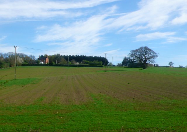
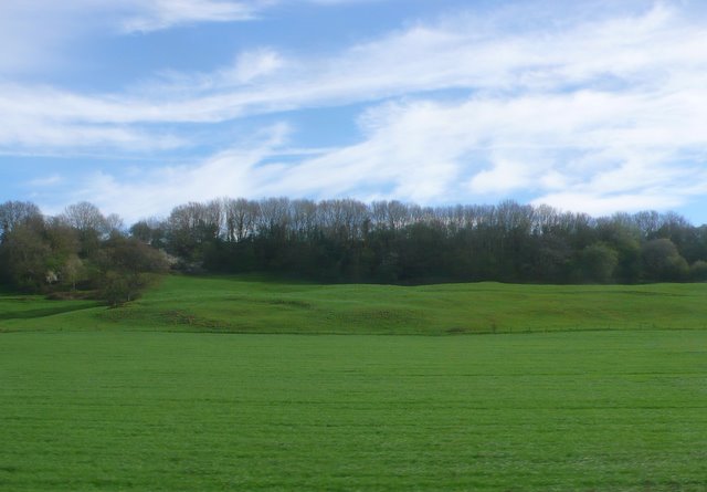
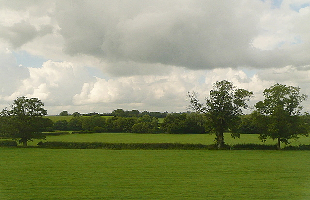
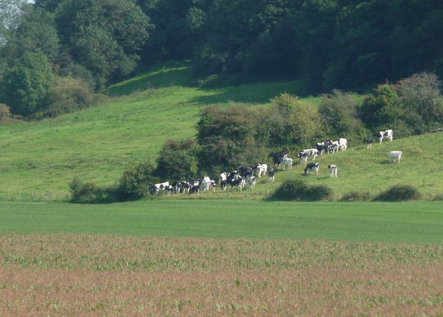
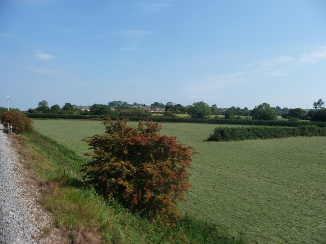
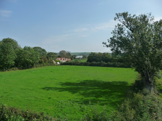
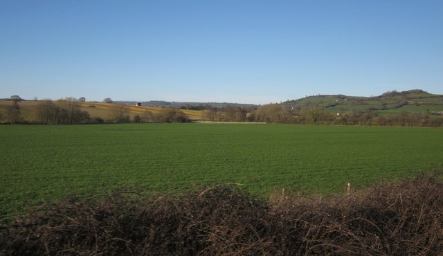
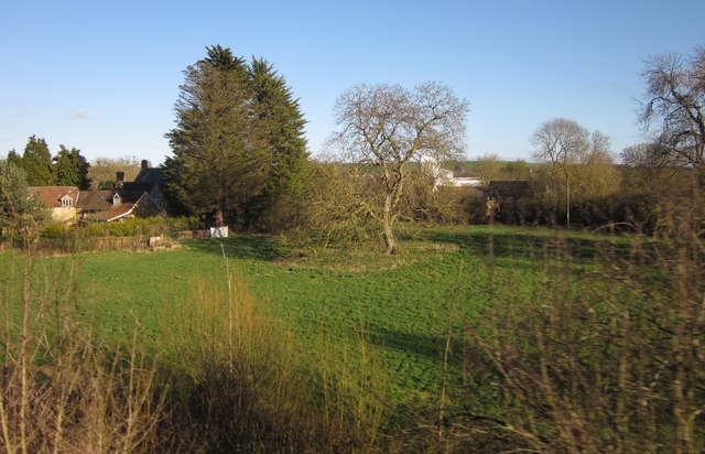
Ansford is primarily a residential area, with a small but close-knit community. The village is characterized by its charming rural setting, surrounded by picturesque countryside and rolling hills. It offers a peaceful and tranquil environment for its residents, away from the hustle and bustle of larger towns and cities.

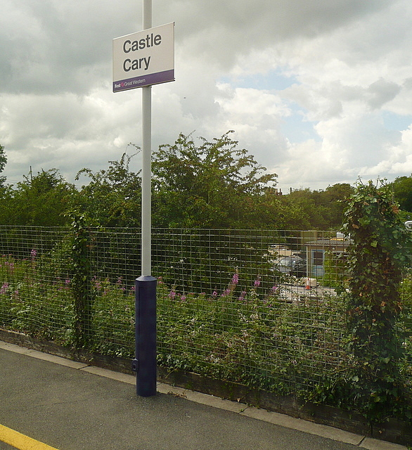
The village is home to several amenities, including a primary school, a pub, and a convenience store. The Ansford Community Centre serves as a hub for various social and recreational activities, providing a space for local events and gatherings. Additionally, the nearby market town of Castle Cary offers a wider range of amenities, including shops, restaurants, and a train station with direct links to London and other major cities.

Historically, Ansford was part of the ancient hundred of Catsash, and evidence of its rich past can be found in its architecture. The Grade I listed Ansford Church, dedicated to St. Andrew, is a notable landmark in the village. The church dates back to the 13th century and boasts impressive architectural features, attracting visitors interested in history and heritage.

Overall, Ansford offers a pleasant and idyllic setting for those seeking a peaceful village lifestyle while still having access to nearby amenities and transport links.

If you have any feedback on the listing, please let us know in the comments section below.

Ansford Images

Images are sourced within 2km of 51.093766/-2.515073 or Grid Reference ST6432. Thanks to Geograph Open Source API. All images are credited.

Hillcrest Farm View up the hill looking south from Castle Cary station.
Hillcrest Farm
View up the hill looking south from Castle Cary station.
Ansford Park Farm This farm is on the northern edge of Ansford between the village and the railway.
Ansford Park Farm
This farm is on the northern edge of Ansford between the village and the railway.
Countryside near Ansford View south across the square from a train on the Yeovil to Bristol line. The distant line of trees marks the road from Castle Cary to Wyke Champflower.
Countryside near Ansford
View south across the square from a train on the Yeovil to Bristol line. The distant line of trees marks the road from Castle Cary to Wyke Champflower.
Gate to pasture land on Wyke Road
Telephone box, Castle Cary The K6 telephone box stands beside the Market House.

In 1935, the Post Office commissioned a new kiosk from Sir Giles Gilbert Scott to celebrate the Jubilee of King George V.  The K6 Jubilee Kiosk, as it is known, was similar to the K2 box, being made of cast iron and painted red but was 25% lighter in weight.  By the end of the 1930s there were 20,000 K6 telephone boxes in use all over the UK.
Telephone box, Castle Cary
The K6 telephone box stands beside the Market House. In 1935, the Post Office commissioned a new kiosk from Sir Giles Gilbert Scott to celebrate the Jubilee of King George V. The K6 Jubilee Kiosk, as it is known, was similar to the K2 box, being made of cast iron and painted red but was 25% lighter in weight. By the end of the 1930s there were 20,000 K6 telephone boxes in use all over the UK.
Bench Mark, The Market House The Ordnance Survey bench mark is on the north east face of the building.  For a wider view of the building <a href="https://www.geograph.org.uk/photo/667582">ST6432 : The Market House, Castle Cary</a> and for further information on the bench mark and others in the area <span class="nowrap"><a title="http://www.bench-marks.org.uk/bm38815" rel="nofollow ugc noopener" href="http://www.bench-marks.org.uk/bm38815">Link</a><img style="margin-left:2px;" alt="External link" title="External link - shift click to open in new window" src="https://s1.geograph.org.uk/img/external.png" width="10" height="10"/></span>
Bench Mark, The Market House
The Ordnance Survey bench mark is on the north east face of the building. For a wider view of the building ST6432 : The Market House, Castle Cary and for further information on the bench mark and others in the area LinkExternal link
Farmland at Castle Cary The tree to the left is in <a href="https://www.geograph.org.uk/gridref/ST6333">ST6333</a> but about two thirds of the picture is in this square.
This photo was taken from the 1158 Penzance to London Paddington train, having left Taunton at 1529 and about to arrive at Castle Cary.
Farmland at Castle Cary
The tree to the left is in ST6333 but about two thirds of the picture is in this square. This photo was taken from the 1158 Penzance to London Paddington train, having left Taunton at 1529 and about to arrive at Castle Cary.
Castle Cary Well, we know where we are, and despite the background this is a rather nice station on the edge of the town.  But today I am passing through, so will content myself with a picture from inside the train.
This photo was taken from the 1158 Penzance to London Paddington train, due to leave Castle Cary at 1550, next stop Reading.
Castle Cary
Well, we know where we are, and despite the background this is a rather nice station on the edge of the town. But today I am passing through, so will content myself with a picture from inside the train. This photo was taken from the 1158 Penzance to London Paddington train, due to leave Castle Cary at 1550, next stop Reading.
Pasture near Wyke This is a big dairy area, but now cows around today . The barn is prominent on the map, just in <a href="https://www.geograph.org.uk/gridref/ST6534">ST6534</a>
This photo was taken from the 1158 Penzance to London Paddington train, having left Castle Cary at 1550.
Pasture near Wyke
This is a big dairy area, but now cows around today . The barn is prominent on the map, just in ST6534 This photo was taken from the 1158 Penzance to London Paddington train, having left Castle Cary at 1550.
The Market House, Castle Cary The Market House was built in 1855 of Cary stone with Doulting stone dressings.
The Market House, Castle Cary
The Market House was built in 1855 of Cary stone with Doulting stone dressings.
The Market House, Castle Cary The Market House was built in 1855 of Cary stone with Doulting stone dressings.
The Market House, Castle Cary
The Market House was built in 1855 of Cary stone with Doulting stone dressings.
Street scene, Castle Cary The small street is beside the Market House.
Street scene, Castle Cary
The small street is beside the Market House.
South Somerset : Grassy Field & Bushes Bushes next to the railway line and surrounding countryside in South Somerset.
South Somerset : Grassy Field & Bushes
Bushes next to the railway line and surrounding countryside in South Somerset.
South Somerset : Cows Grazing Cows grazing on the grassy hillside near Castle Cary in South Somerset.
South Somerset : Cows Grazing
Cows grazing on the grassy hillside near Castle Cary in South Somerset.
South Somerset : Grassy Field Looking along the side of a train as it passed through the South Somerset countryside.
South Somerset : Grassy Field
Looking along the side of a train as it passed through the South Somerset countryside.
South Somerset : Green Field A green field with a house in the corner of the photo as seen from a passing train.
South Somerset : Green Field
A green field with a house in the corner of the photo as seen from a passing train.
Field near Ansford Only the first 200 metres of this field are in square. The trees bordering the River Brue, and the farmland at East Hill beyond, are in <a href="https://www.geograph.org.uk/gridref/ST6434">ST6434</a>. View from a train on the main railway line between Bruton and Castle Cary.
Field near Ansford
Only the first 200 metres of this field are in square. The trees bordering the River Brue, and the farmland at East Hill beyond, are in ST6434. View from a train on the main railway line between Bruton and Castle Cary.
Tree in field, Clanville With Clanville House Farm on the left; the C18 farmhouse is listed <span class="nowrap"><a title="http://www.britishlistedbuildings.co.uk/en-261957-clanville-house-farmhouse-ansford" rel="nofollow ugc noopener" href="http://www.britishlistedbuildings.co.uk/en-261957-clanville-house-farmhouse-ansford">Link</a><img style="margin-left:2px;" alt="External link" title="External link - shift click to open in new window" src="https://s1.geograph.org.uk/img/external.png" width="10" height="10"/></span> . Behind the central tree can be glimpsed <a href="https://www.geograph.org.uk/photo/730913">ST6332 : Crown Pet Foods, Torbay Road, Castle Cary</a>. <a href="https://www.geograph.org.uk/photo/2589009">ST6233 : South Somerset : Green Field</a> shows the next field to the right (west). View from the main railway line from a train that has just left Castle Cary for Taunton.
Tree in field, Clanville
With Clanville House Farm on the left; the C18 farmhouse is listed LinkExternal link . Behind the central tree can be glimpsed ST6332 : Crown Pet Foods, Torbay Road, Castle Cary. ST6233 : South Somerset : Green Field shows the next field to the right (west). View from the main railway line from a train that has just left Castle Cary for Taunton.
Show me another place!

Ansford is located at Grid Ref: ST6432 (Lat: 51.093766, Lng: -2.515073)

Administrative County: Somerset

District: South Somerset

Police Authority: Avon and Somerset

What 3 Words

///settled.stall.elevated. Near Castle Cary, Somerset

Related Wikis

Ansford

Ansford is a village and civil parish in Somerset, England, situated on the northern edge of Castle Cary. The civil parish has a population of approximately...

Church of St Andrew, Ansford

The Church of St Andrew in Ansford, Somerset, England, was built in the 15th century. It is a Grade II* listed building. == History == The tower remains...
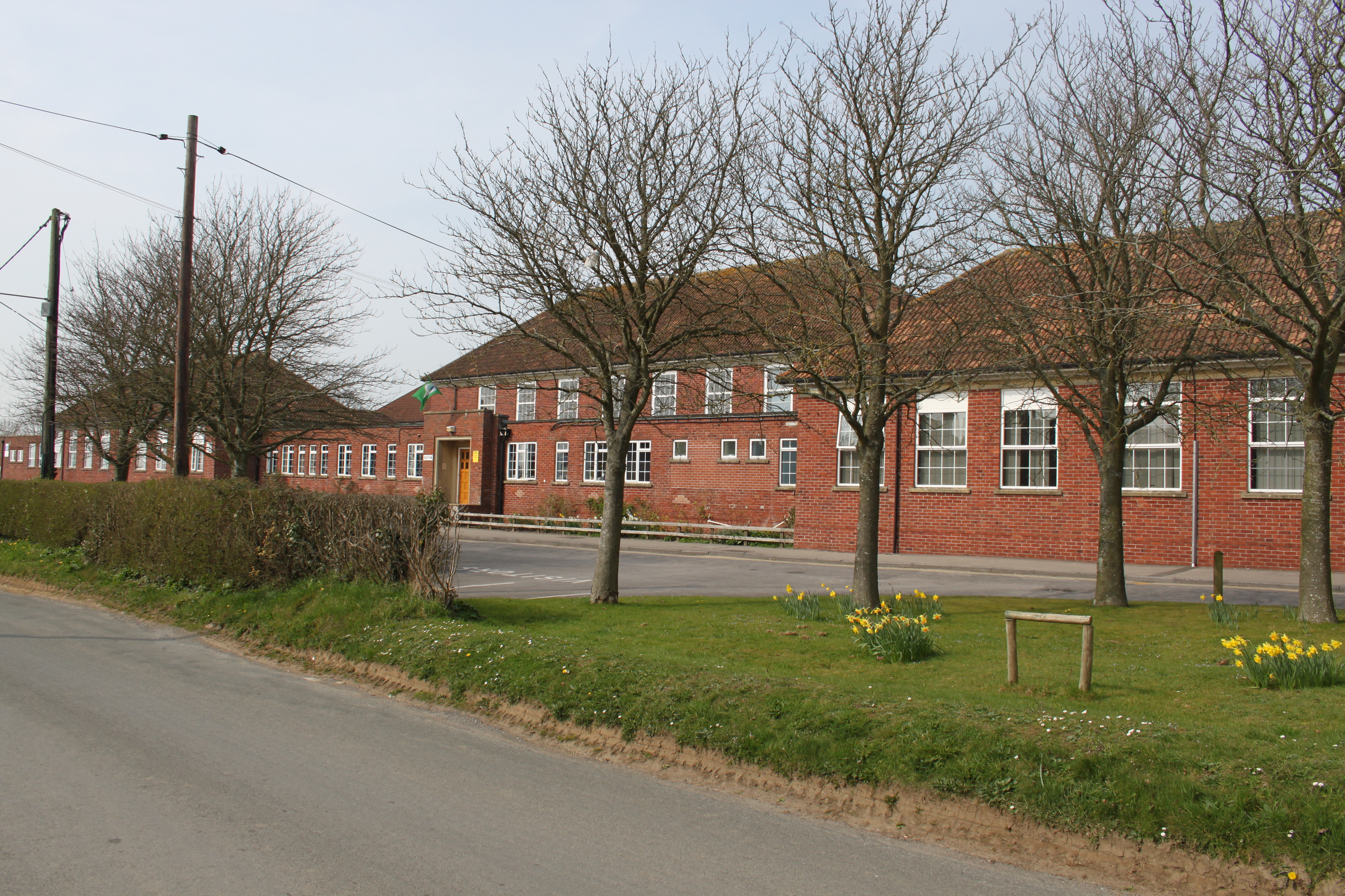
Ansford Academy

Ansford Academy, previously known as Ansford School, is a school located in Ansford, which lies on the northern edge of Castle Cary in Somerset, England...
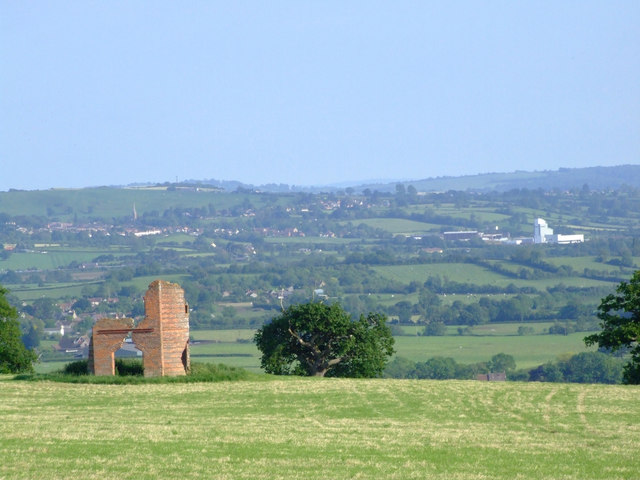
Cary Castle

Cary Castle stood on Lodge Hill overlooking the town of Castle Cary, Somerset, England. It is a Scheduled Ancient Monument. == Details == The motte and...

Nearby Amenities

Located within 500m of 51.093766,-2.515073
Ansford
Place: village
Source: npe
Lat/Long: 51.096518/-2.5138829
Traffic Signals
Lat/Long: 51.0934114/-2.5125897
Traffic Signals
Traffic Signals: signal
Lat/Long: 51.0926997/-2.5109594
The Roundhouse
Historic: monument
Inscription: This is a mid eighteenth century prison called the Roundhouse
Source: local knowledge;https://en.wikipedia.org/wiki/Castle_Cary#Landmarks;http://www.castle-cary.co.uk/round-house/
Tourism: attraction
Wikidata: Q17672734
Lat/Long: 51.0896044/-2.5146397
Traffic Signals
Traffic Signals: signal
Lat/Long: 51.093339/-2.5125224
Crossing: zebra
Lat/Long: 51.0951799/-2.5137392
Traffic Signals
Lat/Long: 51.093288/-2.5125568
The George Hotel
Tourism: hotel
Wikidata: Q26472222
Lat/Long: 51.0894619/-2.5137508
Shop: hairdresser
Lat/Long: 51.0893405/-2.5143617
Restaurant
Miah's Castle
Cuisine: indian
Lat/Long: 51.0893119/-2.5144503
Restaurant
The Bakehouse
Lat/Long: 51.0901349/-2.5128421
The Place
Shop: coffee
Lat/Long: 51.0897768/-2.5137797
Townhall
Market house
Description: This is the town hall and is host to a variety of public functions including; the town museam, town council meetings and markets on tuesday's
Email: markethouse.bookings@castle-cary.co.uk
Operator: Castle Cary Town Council
Phone: +44 1963 351763
Source: http://www.castle-cary.co.uk/the-market-house/;local knowledge
Tourism: attraction
Wikidata: Q5050021
Wikipedia: en:Castle Cary and District Museum
Lat/Long: 51.0895747/-2.5140319
Library
Internet Access: terminal
Internet Access Fee: no
Lat/Long: 51.0897568/-2.5140937
Castle Cary Bowls Club
Leisure: pitch
Sport: bowls
Surface: grass
Lat/Long: 51.0924793/-2.5156866
Generator Method: photovoltaic
Generator Output Electricity: yes
Generator Source: solar
Generator Type: solar_photovoltaic_panel
Location: roof
Power: generator
Lat/Long: 51.0972361/-2.5167382
Generator Method: photovoltaic
Generator Output Electricity: yes
Generator Source: solar
Generator Type: solar_photovoltaic_panel
Location: roof
Power: generator
Lat/Long: 51.0972765/-2.5167489
Generator Method: photovoltaic
Generator Output Electricity: yes
Generator Source: solar
Generator Type: solar_photovoltaic_panel
Location: roof
Power: generator
Lat/Long: 51.0965202/-2.5180525
Generator Method: photovoltaic
Generator Output Electricity: yes
Generator Source: solar
Generator Type: solar_photovoltaic_panel
Location: roof
Power: generator
Lat/Long: 51.0967628/-2.5190502
Generator Method: photovoltaic
Generator Output Electricity: yes
Generator Source: solar
Generator Type: solar_photovoltaic_panel
Location: roof
Power: generator
Lat/Long: 51.0963383/-2.5189295
Generator Method: photovoltaic
Generator Output Electricity: yes
Generator Source: solar
Generator Type: solar_photovoltaic_panel
Location: roof
Power: generator
Lat/Long: 51.096372/-2.5198013
Generator Method: photovoltaic
Generator Output Electricity: yes
Generator Source: solar
Generator Type: solar_photovoltaic_panel
Location: roof
Power: generator
Lat/Long: 51.0963602/-2.5197342
Generator Method: photovoltaic
Generator Output Electricity: yes
Generator Source: solar
Generator Type: solar_photovoltaic_panel
Location: roof
Power: generator
Lat/Long: 51.0942192/-2.51923
Generator Method: photovoltaic
Generator Output Electricity: yes
Generator Source: solar
Generator Type: solar_photovoltaic_panel
Location: roof
Power: generator
Lat/Long: 51.0942579/-2.5191763
Generator Method: photovoltaic
Generator Output Electricity: yes
Generator Source: solar
Generator Type: solar_photovoltaic_panel
Location: roof
Power: generator
Lat/Long: 51.0960822/-2.5189322
Generator Method: photovoltaic
Generator Output Electricity: yes
Generator Source: solar
Generator Type: solar_photovoltaic_panel
Location: roof
Power: generator
Lat/Long: 51.096308/-2.5164673
Generator Method: photovoltaic
Generator Output Electricity: yes
Generator Source: solar
Generator Type: solar_photovoltaic_panel
Location: roof
Power: generator
Lat/Long: 51.0961277/-2.515837
Generator Method: photovoltaic
Generator Output Electricity: yes
Generator Source: solar
Generator Type: solar_photovoltaic_panel
Location: roof
Power: generator
Lat/Long: 51.0959795/-2.5168294
Generator Method: photovoltaic
Generator Output Electricity: yes
Generator Source: solar
Generator Type: solar_photovoltaic_panel
Location: roof
Power: generator
Lat/Long: 51.0953175/-2.5172156
Generator Method: photovoltaic
Generator Output Electricity: yes
Generator Source: solar
Generator Type: solar_photovoltaic_panel
Location: roof
Power: generator
Lat/Long: 51.0958161/-2.5160649
Generator Method: photovoltaic
Generator Output Electricity: yes
Generator Source: solar
Generator Type: solar_photovoltaic_panel
Location: roof
Power: generator
Lat/Long: 51.095523/-2.5164083
Generator Method: photovoltaic
Generator Output Electricity: yes
Generator Source: solar
Generator Type: solar_photovoltaic_panel
Location: roof
Power: generator
Lat/Long: 51.0948745/-2.5166094
Generator Method: photovoltaic
Generator Output Electricity: yes
Generator Source: solar
Generator Type: solar_photovoltaic_panel
Location: roof
Power: generator
Lat/Long: 51.0946521/-2.5120577
Generator Method: photovoltaic
Generator Output Electricity: yes
Generator Source: solar
Generator Type: solar_photovoltaic_panel
Location: roof
Power: generator
Lat/Long: 51.0949216/-2.5159872
Generator Method: photovoltaic
Generator Output Electricity: yes
Generator Source: solar
Generator Type: solar_photovoltaic_panel
Location: roof
Power: generator
Lat/Long: 51.0937214/-2.5121596
Generator Method: photovoltaic
Generator Output Electricity: yes
Generator Source: solar
Generator Type: solar_photovoltaic_panel
Location: roof
Power: generator
Lat/Long: 51.0937357/-2.5121073
Generator Method: photovoltaic
Generator Output Electricity: yes
Generator Source: solar
Generator Type: solar_photovoltaic_panel
Location: roof
Power: generator
Lat/Long: 51.09375/-2.5120604
Generator Method: photovoltaic
Generator Output Electricity: yes
Generator Source: solar
Generator Type: solar_photovoltaic_panel
Location: roof
Power: generator
Lat/Long: 51.0937652/-2.5120068
Generator Method: photovoltaic
Generator Output Electricity: yes
Generator Source: solar
Generator Type: solar_photovoltaic_panel
Location: roof
Power: generator
Lat/Long: 51.0944702/-2.5156117
Generator Method: photovoltaic
Generator Output Electricity: yes
Generator Source: solar
Generator Type: solar_photovoltaic_panel
Location: roof
Power: generator
Lat/Long: 51.0940002/-2.5173819
Generator Method: photovoltaic
Generator Output Electricity: yes
Generator Source: solar
Generator Type: solar_photovoltaic_panel
Location: roof
Power: generator
Lat/Long: 51.0937357/-2.516427
Generator Method: photovoltaic
Generator Output Electricity: yes
Generator Source: solar
Generator Type: solar_photovoltaic_panel
Location: roof
Power: generator
Lat/Long: 51.0915474/-2.5194472
Generator Method: photovoltaic
Generator Output Electricity: yes
Generator Source: solar
Generator Type: solar_photovoltaic_panel
Location: roof
Power: generator
Lat/Long: 51.0927031/-2.5167999
Generator Method: photovoltaic
Generator Output Electricity: yes
Generator Source: solar
Generator Type: solar_photovoltaic_panel
Location: roof
Power: generator
Lat/Long: 51.0935369/-2.5158531
Generator Method: photovoltaic
Generator Output Electricity: yes
Generator Source: solar
Generator Type: solar_photovoltaic_panel
Location: roof
Power: generator
Lat/Long: 51.0931495/-2.5143832
Generator Method: photovoltaic
Generator Output Electricity: yes
Generator Source: solar
Generator Type: solar_photovoltaic_panel
Location: roof
Power: generator
Lat/Long: 51.0929692/-2.5129563
Generator Method: photovoltaic
Generator Output Electricity: yes
Generator Source: solar
Generator Type: solar_photovoltaic_panel
Location: roof
Power: generator
Lat/Long: 51.0926727/-2.5124091
Generator Method: photovoltaic
Generator Output Electricity: yes
Generator Source: solar
Generator Type: solar_photovoltaic_panel
Location: roof
Power: generator
Lat/Long: 51.0923645/-2.5124252
Generator Method: photovoltaic
Generator Output Electricity: yes
Generator Source: solar
Generator Type: solar_photovoltaic_panel
Location: roof
Power: generator
Lat/Long: 51.0926812/-2.5118217
Generator Method: photovoltaic
Generator Output Electricity: yes
Generator Source: solar
Generator Type: solar_photovoltaic_panel
Location: roof
Power: generator
Lat/Long: 51.0911818/-2.5112477
Generator Method: photovoltaic
Generator Output Electricity: yes
Generator Source: solar
Generator Type: solar_photovoltaic_panel
Location: roof
Power: generator
Lat/Long: 51.0909123/-2.5120121
Generator Method: photovoltaic
Generator Output Electricity: yes
Generator Source: solar
Generator Type: solar_photovoltaic_panel
Location: roof
Power: generator
Lat/Long: 51.0919315/-2.5157645
Generator Method: photovoltaic
Generator Output Electricity: yes
Generator Source: solar
Generator Type: solar_photovoltaic_panel
Location: roof
Power: generator
Lat/Long: 51.0913554/-2.5182429
Generator Method: photovoltaic
Generator Output Electricity: yes
Generator Source: solar
Generator Type: solar_photovoltaic_panel
Location: roof
Power: generator
Lat/Long: 51.0914244/-2.5179908
Generator Method: photovoltaic
Generator Output Electricity: yes
Generator Source: solar
Generator Type: solar_photovoltaic_panel
Location: roof
Power: generator
Lat/Long: 51.0901542/-2.5146997
Generator Method: photovoltaic
Generator Output Electricity: yes
Generator Source: solar
Generator Type: solar_photovoltaic_panel
Location: roof
Power: generator
Lat/Long: 51.0898324/-2.5164512
Generator Method: photovoltaic
Generator Output Electricity: yes
Generator Source: solar
Generator Type: solar_photovoltaic_panel
Location: roof
Power: generator
Lat/Long: 51.0898577/-2.5163278
Generator Method: photovoltaic
Generator Output Electricity: yes
Generator Source: solar
Generator Type: solar_photovoltaic_panel
Location: roof
Power: generator
Lat/Long: 51.0898257/-2.5163385
Generator Method: photovoltaic
Generator Output Electricity: yes
Generator Source: solar
Generator Type: solar_photovoltaic_panel
Location: roof
Power: generator
Lat/Long: 51.0895561/-2.5163493
Generator Method: photovoltaic
Generator Output Electricity: yes
Generator Source: solar
Generator Type: solar_photovoltaic_panel
Location: roof
Power: generator
Lat/Long: 51.0925759/-2.5087237
Generator Method: photovoltaic
Generator Output Electricity: yes
Generator Source: solar
Generator Type: solar_photovoltaic_panel
Location: roof
Power: generator
Lat/Long: 51.0925969/-2.5086728
Telephone
Booth: K6
Covered: booth
Listed Status: Grade II
Lat/Long: 51.0895295/-2.5141476
Post Box
Operator: Royal Mail
Operator Wikidata: Q638098
Post Box Type: wall
Ref: BA7 41
Royal Cypher: EIIR
Royal Cypher Wikidata: Q33102113
Lat/Long: 51.0945359/-2.5131936
Historic: memorial
Memorial: war_memorial
Lat/Long: 51.0949166/-2.5178902
Post Box
Operator: Royal Mail
Operator Wikidata: Q638098
Post Box Type: wall
Ref: BA7 42
Royal Cypher: GR
Royal Cypher Wikidata: Q33102273
Lat/Long: 51.0960368/-2.5198804
The data included in this document is from www.openstreetmap.org. The data is made available under ODbL.

Have you been to Ansford?

Leave your review of Ansford below (or comments, questions and feedback).