Park Pond

Lake, Pool, Pond, Freshwater Marsh in Somerset South Somerset

England

Park Pond

Hillcrest Farm View up the hill looking south from Castle Cary station.
Hillcrest Farm Credit: Nigel Mykura

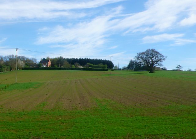
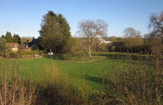
Park Pond is a picturesque freshwater body located in Somerset, England. With its serene surroundings and abundant wildlife, it offers visitors a tranquil escape from the hustle and bustle of everyday life. Covering an area of approximately 10 acres, it is a popular destination for nature enthusiasts and families alike.

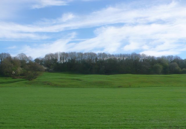
The pond is characterized by its crystal-clear waters, which are fed by natural springs and rainfall. It is home to a diverse range of aquatic plants, including lily pads, reeds, and water lilies, which create a vibrant and colorful display during the summer months. These plants provide important habitats for a variety of species, such as frogs, newts, and dragonflies.

The pond also supports a thriving population of fish, including carp, roach, and perch, making it a popular spot for anglers. Fishing is permitted with the appropriate license, providing a peaceful and relaxing pastime for those who enjoy the sport.

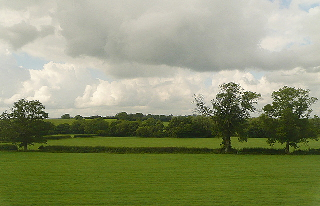
Surrounding the pond is a lush green landscape, with grassy banks and mature trees that provide shade and shelter. The area is a haven for birdwatchers, as it attracts a wide range of avian species throughout the year. Common sightings include mallards, coots, and herons, while lucky visitors may even spot a kingfisher darting across the water.

Visitors to Park Pond can enjoy a leisurely stroll around its perimeter, taking in the stunning views and observing the abundant wildlife. Benches are conveniently placed along the pathway, allowing visitors to sit and appreciate the natural beauty of this hidden gem in Somerset.

If you have any feedback on the listing, please let us know in the comments section below.
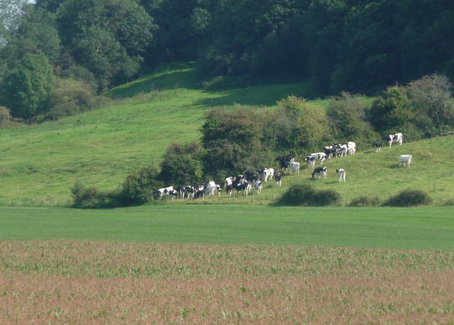
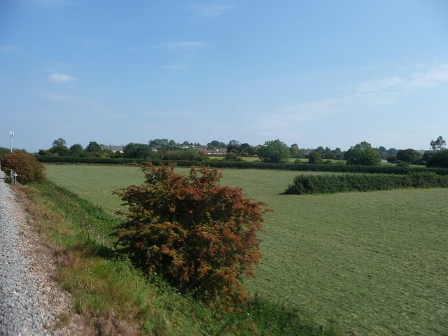
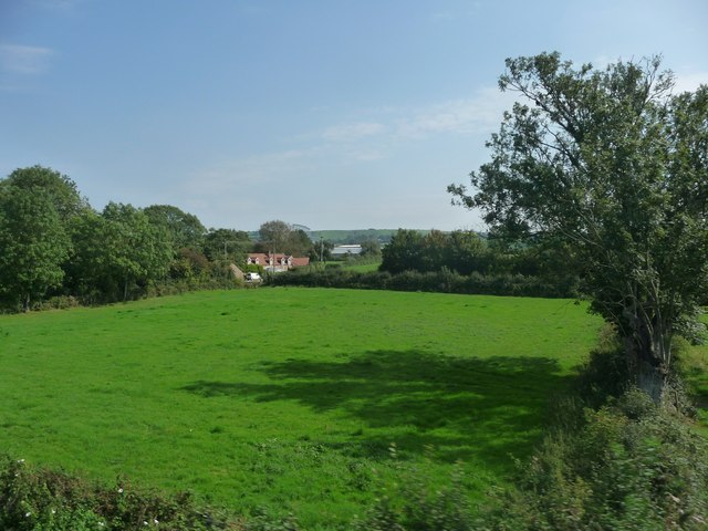
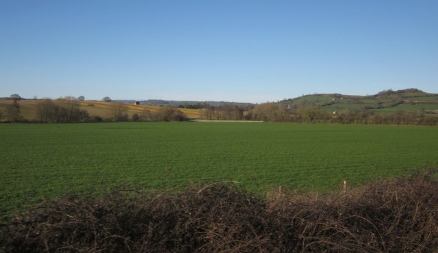
Park Pond Images

Images are sourced within 2km of 51.08693/-2.5140539 or Grid Reference ST6432. Thanks to Geograph Open Source API. All images are credited.

Hillcrest Farm View up the hill looking south from Castle Cary station.
Hillcrest Farm
View up the hill looking south from Castle Cary station.
Ansford Park Farm This farm is on the northern edge of Ansford between the village and the railway.
Ansford Park Farm
This farm is on the northern edge of Ansford between the village and the railway.
Countryside near Ansford View south across the square from a train on the Yeovil to Bristol line. The distant line of trees marks the road from Castle Cary to Wyke Champflower.
Countryside near Ansford
View south across the square from a train on the Yeovil to Bristol line. The distant line of trees marks the road from Castle Cary to Wyke Champflower.
Telephone box, Castle Cary The K6 telephone box stands beside the Market House.

In 1935, the Post Office commissioned a new kiosk from Sir Giles Gilbert Scott to celebrate the Jubilee of King George V.  The K6 Jubilee Kiosk, as it is known, was similar to the K2 box, being made of cast iron and painted red but was 25% lighter in weight.  By the end of the 1930s there were 20,000 K6 telephone boxes in use all over the UK.
Telephone box, Castle Cary
The K6 telephone box stands beside the Market House. In 1935, the Post Office commissioned a new kiosk from Sir Giles Gilbert Scott to celebrate the Jubilee of King George V. The K6 Jubilee Kiosk, as it is known, was similar to the K2 box, being made of cast iron and painted red but was 25% lighter in weight. By the end of the 1930s there were 20,000 K6 telephone boxes in use all over the UK.
Bench Mark, The Market House The Ordnance Survey bench mark is on the north east face of the building.  For a wider view of the building <a href="https://www.geograph.org.uk/photo/667582">ST6432 : The Market House, Castle Cary</a> and for further information on the bench mark and others in the area <span class="nowrap"><a title="http://www.bench-marks.org.uk/bm38815" rel="nofollow ugc noopener" href="http://www.bench-marks.org.uk/bm38815">Link</a><img style="margin-left:2px;" alt="External link" title="External link - shift click to open in new window" src="https://s1.geograph.org.uk/img/external.png" width="10" height="10"/></span>
Bench Mark, The Market House
The Ordnance Survey bench mark is on the north east face of the building. For a wider view of the building ST6432 : The Market House, Castle Cary and for further information on the bench mark and others in the area LinkExternal link
Farmland at Castle Cary The tree to the left is in <a href="https://www.geograph.org.uk/gridref/ST6333">ST6333</a> but about two thirds of the picture is in this square.
This photo was taken from the 1158 Penzance to London Paddington train, having left Taunton at 1529 and about to arrive at Castle Cary.
Farmland at Castle Cary
The tree to the left is in ST6333 but about two thirds of the picture is in this square. This photo was taken from the 1158 Penzance to London Paddington train, having left Taunton at 1529 and about to arrive at Castle Cary.
Castle Cary Well, we know where we are, and despite the background this is a rather nice station on the edge of the town.  But today I am passing through, so will content myself with a picture from inside the train.
This photo was taken from the 1158 Penzance to London Paddington train, due to leave Castle Cary at 1550, next stop Reading.
Castle Cary
Well, we know where we are, and despite the background this is a rather nice station on the edge of the town. But today I am passing through, so will content myself with a picture from inside the train. This photo was taken from the 1158 Penzance to London Paddington train, due to leave Castle Cary at 1550, next stop Reading.
The Market House, Castle Cary The Market House was built in 1855 of Cary stone with Doulting stone dressings.
The Market House, Castle Cary
The Market House was built in 1855 of Cary stone with Doulting stone dressings.
The Market House, Castle Cary The Market House was built in 1855 of Cary stone with Doulting stone dressings.
The Market House, Castle Cary
The Market House was built in 1855 of Cary stone with Doulting stone dressings.
Street scene, Castle Cary The small street is beside the Market House.
Street scene, Castle Cary
The small street is beside the Market House.
The A359 approaching the junction with the B3152
South Somerset : Grassy Field & Bushes Bushes next to the railway line and surrounding countryside in South Somerset.
South Somerset : Grassy Field & Bushes
Bushes next to the railway line and surrounding countryside in South Somerset.
South Somerset : Cows Grazing Cows grazing on the grassy hillside near Castle Cary in South Somerset.
South Somerset : Cows Grazing
Cows grazing on the grassy hillside near Castle Cary in South Somerset.
South Somerset : Grassy Field Looking along the side of a train as it passed through the South Somerset countryside.
South Somerset : Grassy Field
Looking along the side of a train as it passed through the South Somerset countryside.
South Somerset : Green Field A green field with a house in the corner of the photo as seen from a passing train.
South Somerset : Green Field
A green field with a house in the corner of the photo as seen from a passing train.
Field near Ansford Only the first 200 metres of this field are in square. The trees bordering the River Brue, and the farmland at East Hill beyond, are in <a href="https://www.geograph.org.uk/gridref/ST6434">ST6434</a>. View from a train on the main railway line between Bruton and Castle Cary.
Field near Ansford
Only the first 200 metres of this field are in square. The trees bordering the River Brue, and the farmland at East Hill beyond, are in ST6434. View from a train on the main railway line between Bruton and Castle Cary.
Tree in field, Clanville With Clanville House Farm on the left; the C18 farmhouse is listed <span class="nowrap"><a title="http://www.britishlistedbuildings.co.uk/en-261957-clanville-house-farmhouse-ansford" rel="nofollow ugc noopener" href="http://www.britishlistedbuildings.co.uk/en-261957-clanville-house-farmhouse-ansford">Link</a><img style="margin-left:2px;" alt="External link" title="External link - shift click to open in new window" src="https://s1.geograph.org.uk/img/external.png" width="10" height="10"/></span> . Behind the central tree can be glimpsed <a href="https://www.geograph.org.uk/photo/730913">ST6332 : Crown Pet Foods, Torbay Road, Castle Cary</a>. <a href="https://www.geograph.org.uk/photo/2589009">ST6233 : South Somerset : Green Field</a> shows the next field to the right (west). View from the main railway line from a train that has just left Castle Cary for Taunton.
Tree in field, Clanville
With Clanville House Farm on the left; the C18 farmhouse is listed LinkExternal link . Behind the central tree can be glimpsed ST6332 : Crown Pet Foods, Torbay Road, Castle Cary. ST6233 : South Somerset : Green Field shows the next field to the right (west). View from the main railway line from a train that has just left Castle Cary for Taunton.
Red field A field populated by lots of poppies! There were no other fields in the locality that had anything like this display. See <a href="https://www.geograph.org.uk/photo/3013614">ST6431 : A view to enjoy</a> for more.
Red field
A field populated by lots of poppies! There were no other fields in the locality that had anything like this display. See ST6431 : A view to enjoy for more.
Show me another place!

Park Pond is located at Grid Ref: ST6432 (Lat: 51.08693, Lng: -2.5140539)

Administrative County: Somerset

District: South Somerset

Police Authority: Avon and Somerset

What 3 Words

///wanting.covertly.tram. Near Castle Cary, Somerset

Related Wikis

Castle Cary

Castle Cary () is a market town and civil parish in south Somerset, England, 5 miles (8 km) north west of Wincanton and 8 miles (12.9 km) south of Shepton...

Cary Castle

Cary Castle stood on Lodge Hill overlooking the town of Castle Cary, Somerset, England. It is a Scheduled Ancient Monument. == Details == The motte and...

Church of All Saints, Castle Cary

All Saints Church in Castle Cary in the English county of Somerset dates from 1470 and is notable for its high steeple. It is a Grade II* listed building...

Ansford

Ansford is a village and civil parish in Somerset, England, situated on the northern edge of Castle Cary. The civil parish has a population of approximately...

Church of St Andrew, Ansford

The Church of St Andrew in Ansford, Somerset, England, was built in the 15th century. It is a Grade II* listed building. == History == The tower remains...
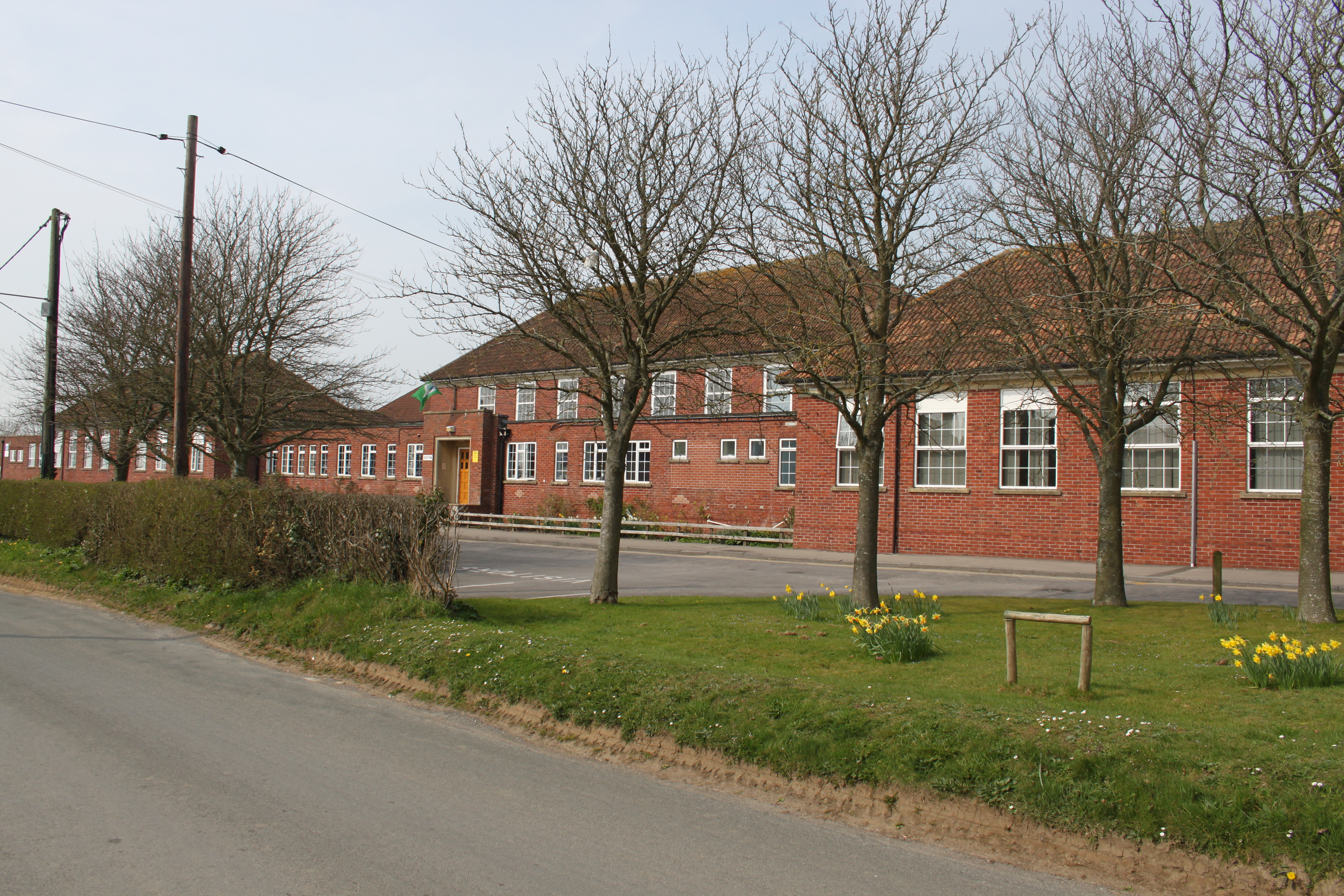
Ansford Academy

Ansford Academy, previously known as Ansford School, is a school located in Ansford, which lies on the northern edge of Castle Cary in Somerset, England...

Somerton and Frome (UK Parliament constituency)

Somerton and Frome is a constituency in Somerset represented in the House of Commons of the UK Parliament since 2023 by Sarah Dyke of the Liberal Democrats...
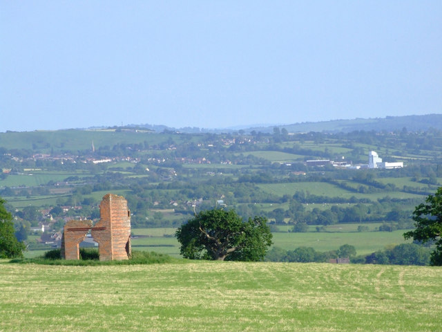
Hadspen Quarry

Hadspen Quarry is a stone quarry in Somerset, England. It is shown on Ordnance Survey maps for 1888–90, and may have been in operation for a considerable...

Nearby Amenities

Located within 500m of 51.08693,-2.5140539
Castle Cary
Place: town
Lat/Long: 51.088828/-2.5147985
Lodge Hill Viewpoint
Tourism: viewpoint
Lat/Long: 51.084236/-2.5146714
Post Office
Castle Cary Post Office
Addr City: Castle Cary
Addr Country: GB
Addr County: Somerset
Addr Housename: Hart House
Addr Postcode: BA7 7BQ
Addr Street: Fore Street
Opening Hours: Mo-Sa 09:00-17:00
Operator: Post Office
Operator Wikidata: Q1783168
Ref Pol Id: 14388
Lat/Long: 51.0887054/-2.514678
Power: pole
Lat/Long: 51.0842755/-2.5107988
Power: pole
Lat/Long: 51.0857789/-2.5111477
Power: pole
Lat/Long: 51.0879835/-2.5116858
Power: pole
Lat/Long: 51.0886831/-2.5106114
Power: pole
Lat/Long: 51.0890427/-2.5086438
Tourism: viewpoint
Lat/Long: 51.083508/-2.5118402
The Roundhouse
Historic: monument
Inscription: This is a mid eighteenth century prison called the Roundhouse
Source: local knowledge;https://en.wikipedia.org/wiki/Castle_Cary#Landmarks;http://www.castle-cary.co.uk/round-house/
Tourism: attraction
Wikidata: Q17672734
Lat/Long: 51.0896044/-2.5146397
Pub
Horse Pond Inn
Addr City: Castle Cary
Addr Postcode: BA7 7BD
Source Addr Postcode: code-point_open
Lat/Long: 51.0881423/-2.515284
Pharmacy
Boots
Brand: Boots
Brand Wikidata: Q6123139
Brand Wikipedia: en:Boots (company)
Healthcare: pharmacy
Website: https://www.boots.com/stores/5362-castle-cary-fore-street-ba7-7bg
Lat/Long: 51.0884957/-2.5143923
Co-op Food
Addr City: Castle Cary
Addr Postcode: BA7 7BG
Addr Street: Fore Street
Brand: Co-op Food
Brand Wikidata: Q3277439
Brand Wikipedia: en:Co-op Food
Opening Hours: Mo-Su 07:00-22:00
Operator: The Co-operative Group
Operator Wikidata: Q117202
Shop: supermarket
Source Addr Postcode: code-point_open
Website: https://www.coop.co.uk/store-finder/BA7-7BG/1-fore-street
Lat/Long: 51.0888141/-2.5141135
Bank
Barclays
Atm: yes
Brand: Barclays
Brand Wikidata: Q245343
Drive Through: no
Lat/Long: 51.089242/-2.5140706
The George Hotel
Tourism: hotel
Wikidata: Q26472222
Lat/Long: 51.0894619/-2.5137508
Shop: hairdresser
Lat/Long: 51.0893405/-2.5143617
Restaurant
Miah's Castle
Cuisine: indian
Lat/Long: 51.0893119/-2.5144503
The Wine Wizard
Shop: alcohol
Lat/Long: 51.0892697/-2.5146595
Restaurant
The Bakehouse
Lat/Long: 51.0901349/-2.5128421
The Place
Shop: coffee
Lat/Long: 51.0897768/-2.5137797
Townhall
Market house
Description: This is the town hall and is host to a variety of public functions including; the town museam, town council meetings and markets on tuesday's
Email: markethouse.bookings@castle-cary.co.uk
Operator: Castle Cary Town Council
Phone: +44 1963 351763
Source: http://www.castle-cary.co.uk/the-market-house/;local knowledge
Tourism: attraction
Wikidata: Q5050021
Wikipedia: en:Castle Cary and District Museum
Lat/Long: 51.0895747/-2.5140319
Library
Internet Access: terminal
Internet Access Fee: no
Lat/Long: 51.0897568/-2.5140937
Community Centre
Scout hut
Operator: Scouting UK
Lat/Long: 51.0861481/-2.5159402
Community Centre
Cadet Centre
Operator: Army cadet force
Lat/Long: 51.0857512/-2.5161843
war memorial
Historic: memorial
Memorial: war_memorial
Lat/Long: 51.0880279/-2.5149526
Bus Stop
The Horsepond
Bench: yes
Bus: yes
Naptan AtcoCode: 3600SOB20795
Naptan Bearing: S
Naptan CommonName: The Horsepond
Naptan Indicator: S-bound
Naptan NaptanCode: sotdjajg
Naptan Street: Fore Street
Naptan Verified: no
Public Transport: platform
Shelter: yes
Lat/Long: 51.0883272/-2.5146663
Fast Food
Kebab House
Lat/Long: 51.0882804/-2.5150087
Castle Type: motte
Historic: castle
Lat/Long: 51.0875728/-2.511941
Natural: spring
Lat/Long: 51.087237/-2.5201795
Power: pole
Lat/Long: 51.0872669/-2.5115094
Power: pole
Lat/Long: 51.0892448/-2.5096624
Bar
The White Hart
Lat/Long: 51.0885597/-2.5147196
Lodge Hill
Natural: peak
Lat/Long: 51.0838277/-2.5137241
Generator Method: photovoltaic
Generator Output Electricity: yes
Generator Source: solar
Generator Type: solar_photovoltaic_panel
Location: roof
Power: generator
Lat/Long: 51.0909123/-2.5120121
Generator Method: photovoltaic
Generator Output Electricity: yes
Generator Source: solar
Generator Type: solar_photovoltaic_panel
Location: roof
Power: generator
Lat/Long: 51.0901542/-2.5146997
Generator Method: photovoltaic
Generator Output Electricity: yes
Generator Source: solar
Generator Type: solar_photovoltaic_panel
Location: roof
Power: generator
Lat/Long: 51.0898324/-2.5164512
Generator Method: photovoltaic
Generator Output Electricity: yes
Generator Source: solar
Generator Type: solar_photovoltaic_panel
Location: roof
Power: generator
Lat/Long: 51.0898577/-2.5163278
Generator Method: photovoltaic
Generator Output Electricity: yes
Generator Source: solar
Generator Type: solar_photovoltaic_panel
Location: roof
Power: generator
Lat/Long: 51.0898257/-2.5163385
Generator Method: photovoltaic
Generator Output Electricity: yes
Generator Source: solar
Generator Type: solar_photovoltaic_panel
Location: roof
Power: generator
Lat/Long: 51.0895561/-2.5163493
Generator Method: photovoltaic
Generator Output Electricity: yes
Generator Source: solar
Generator Type: solar_photovoltaic_panel
Location: roof
Power: generator
Lat/Long: 51.0891451/-2.5166926
Generator Method: photovoltaic
Generator Output Electricity: yes
Generator Source: solar
Generator Type: solar_photovoltaic_panel
Location: roof
Power: generator
Lat/Long: 51.0890995/-2.5174624
Generator Method: photovoltaic
Generator Output Electricity: yes
Generator Source: solar
Generator Type: solar_photovoltaic_panel
Location: roof
Power: generator
Lat/Long: 51.089081/-2.5173819
Generator Method: photovoltaic
Generator Output Electricity: yes
Generator Source: solar
Generator Type: solar_photovoltaic_panel
Location: roof
Power: generator
Lat/Long: 51.0881763/-2.5175616
Generator Method: photovoltaic
Generator Output Electricity: yes
Generator Source: solar
Generator Type: solar_photovoltaic_panel
Location: roof
Power: generator
Lat/Long: 51.0877602/-2.5158906
Generator Method: photovoltaic
Generator Output Electricity: yes
Generator Source: solar
Generator Type: solar_photovoltaic_panel
Location: roof
Power: generator
Lat/Long: 51.0863113/-2.5171459
Generator Method: photovoltaic
Generator Output Electricity: yes
Generator Source: solar
Generator Type: solar_photovoltaic_panel
Location: roof
Power: generator
Lat/Long: 51.0872876/-2.5156103
Generator Method: photovoltaic
Generator Output Electricity: yes
Generator Source: solar
Generator Type: solar_photovoltaic_panel
Location: roof
Power: generator
Lat/Long: 51.0872792/-2.515554
Bench
Backrest: yes
Material: wood
Lat/Long: 51.0870488/-2.5181614
Bench
Backrest: yes
Material: wood
Lat/Long: 51.0865568/-2.5165468
Bench
Backrest: yes
Material: wood
Lat/Long: 51.0868384/-2.5172903
Bench
Backrest: yes
Material: wood
Lat/Long: 51.0870089/-2.5177189
Bench
Backrest: yes
Material: wood
Lat/Long: 51.0876011/-2.515915
Telephone
Booth: K6
Covered: booth
Listed Status: Grade II
Phone: +44 1963 350337
Lat/Long: 51.0895295/-2.5141476
Fuel
Brand: Harvest Energy
Lat/Long: 51.0876591/-2.5153542
Phillips Tyres
Shop: tyres
Lat/Long: 51.0877737/-2.515562
Workshop
Cary Repair Cafe
Repair: assisted_self_service
Lat/Long: 51.0896252/-2.5140506
Booth: K6
Covered: booth
Disused Amenity: telephone
Man Made: telephone_box
Lat/Long: 51.0882801/-2.5146316
Post Box
Post Box Type: lamp
Royal Cypher: EIIR
Lat/Long: 51.0882709/-2.5146392
Grit Bin
Lat/Long: 51.0882956/-2.5146231
Bicycle Parking
Bicycle Parking: stands
Capacity: 6
Covered: no
Lat/Long: 51.0883192/-2.5146119
The data included in this document is from www.openstreetmap.org. The data is made available under ODbL.

Have you been to Park Pond?

Leave your review of Park Pond below (or comments, questions and feedback).