Horse Pond
Lake, Pool, Pond, Freshwater Marsh in Somerset South Somerset
England
Horse Pond
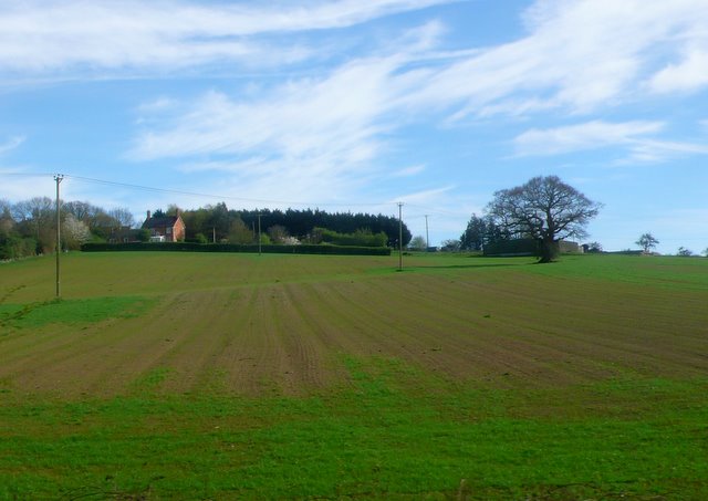
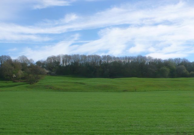
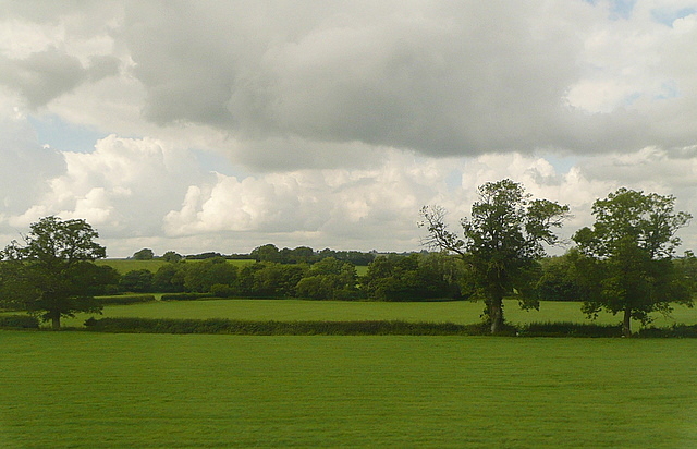
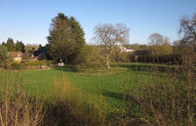
Horse Pond is a freshwater pond located in the village of Somerset, nestled within the picturesque countryside of England. Spanning an area of approximately 2 acres, the pond is surrounded by lush greenery and offers a tranquil retreat for both locals and visitors alike.
The pond is characterized by its crystal-clear waters, which are fed by natural springs and rainfall runoff from the surrounding hills. The water is home to an abundance of aquatic plants, creating a vibrant ecosystem that supports a diverse range of wildlife.
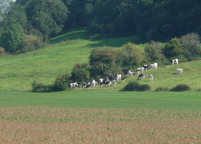
Surrounded by a mix of deciduous trees and reed beds, Horse Pond provides a sanctuary for a variety of bird species, including ducks, swans, and herons. The pond also attracts dragonflies and other insects, which thrive in the rich biodiversity of the area.
The pond has a gentle slope, making it accessible for people of all ages. It is a popular spot for fishing enthusiasts, who can often be seen casting their lines in search of carp, perch, and roach. Additionally, some locals enjoy boating on the calm waters, adding to the recreational appeal of Horse Pond.
The surrounding area offers picnic spots and benches, allowing visitors to relax and soak in the natural beauty of the pond. Horse Pond is a cherished feature of the Somerset community, serving as a peaceful haven where people can connect with nature and enjoy the serenity that freshwater environments have to offer.
If you have any feedback on the listing, please let us know in the comments section below.
Horse Pond Images
Images are sourced within 2km of 51.08805/-2.5149373 or Grid Reference ST6432. Thanks to Geograph Open Source API. All images are credited.


Horse Pond is located at Grid Ref: ST6432 (Lat: 51.08805, Lng: -2.5149373)
Administrative County: Somerset
District: South Somerset
Police Authority: Avon and Somerset
What 3 Words
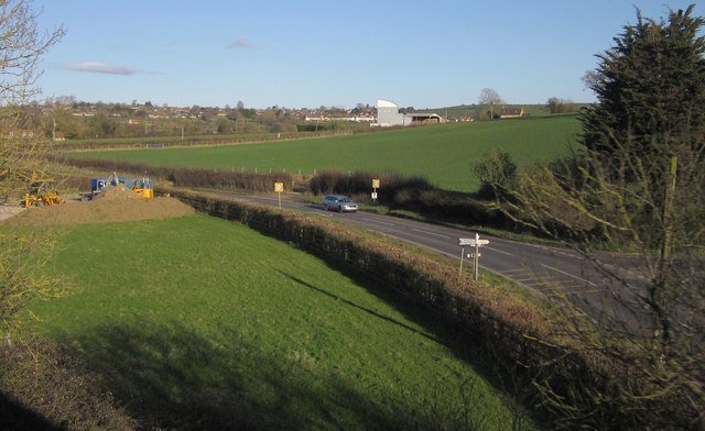
///unzipped.answer.pothole. Near Castle Cary, Somerset
Nearby Locations
Related Wikis

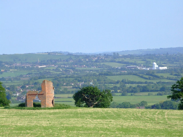
Cary Castle
Cary Castle stood on Lodge Hill overlooking the town of Castle Cary, Somerset, England. It is a Scheduled Ancient Monument. == Details == The motte and...

Castle Cary
Castle Cary () is a market town and civil parish in south Somerset, England, 5 miles (8 km) north west of Wincanton and 8 miles (12.9 km) south of Shepton...

Church of All Saints, Castle Cary
All Saints Church in Castle Cary in the English county of Somerset dates from 1470 and is notable for its high steeple. It is a Grade II* listed building...
Ansford
Ansford is a village and civil parish in Somerset, England, situated on the northern edge of Castle Cary. The civil parish has a population of approximately...

Church of St Andrew, Ansford
The Church of St Andrew in Ansford, Somerset, England, was built in the 15th century. It is a Grade II* listed building. == History == The tower remains...
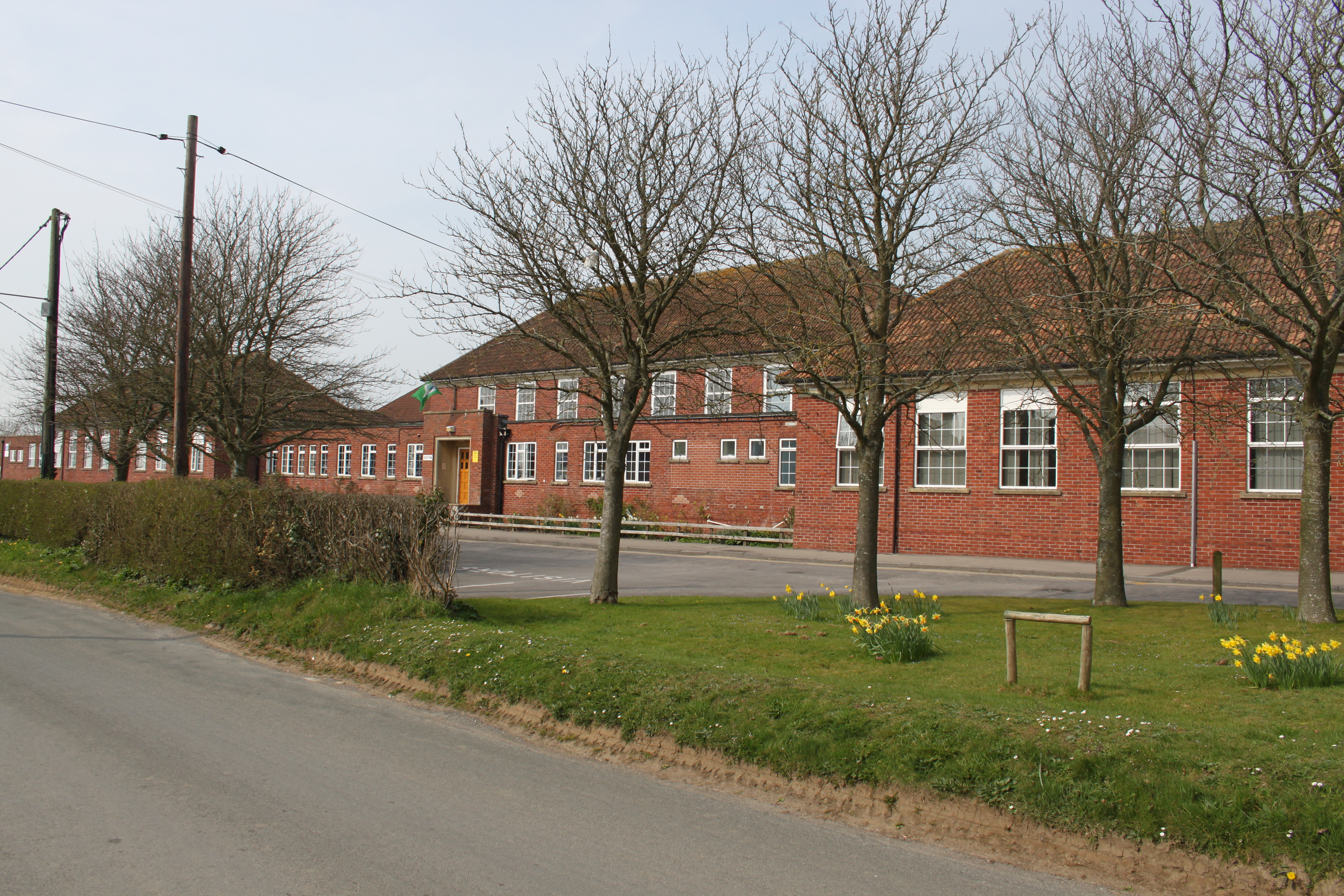
Ansford Academy
Ansford Academy, previously known as Ansford School, is a school located in Ansford, which lies on the northern edge of Castle Cary in Somerset, England...

Somerton and Frome (UK Parliament constituency)
Somerton and Frome is a constituency in Somerset represented in the House of Commons of the UK Parliament since 2023 by Sarah Dyke of the Liberal Democrats...
Castle Cary railway station
Castle Cary railway station is on the Reading to Taunton line 115.25 miles (185.48 km) south west of London Paddington and the Bristol to Weymouth line...
Nearby Amenities
Located within 500m of 51.08805,-2.5149373Have you been to Horse Pond?
Leave your review of Horse Pond below (or comments, questions and feedback).