Beacon Pond
Lake, Pool, Pond, Freshwater Marsh in Somerset Mendip
England
Beacon Pond
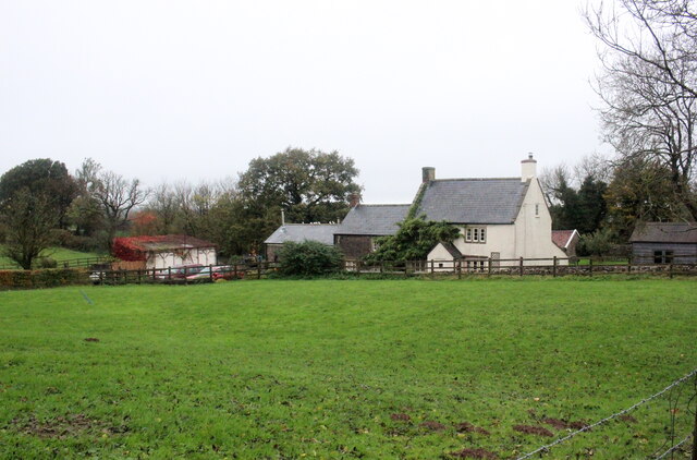
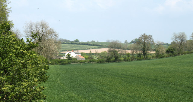
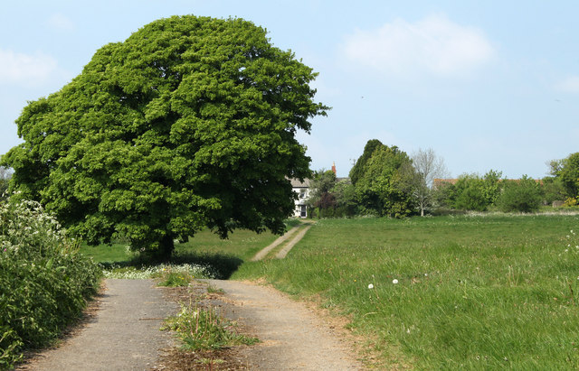
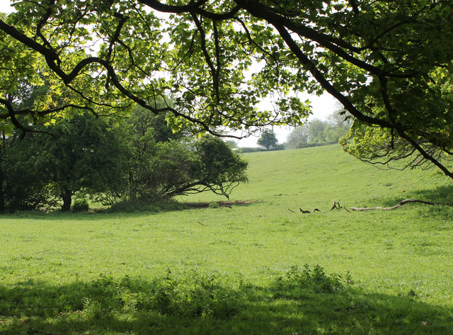
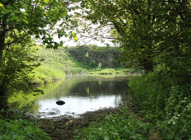
Beacon Pond is a picturesque freshwater marsh located in Somerset, England. Spanning over an area of approximately 10 acres, it serves as a prominent natural landmark in the region. The pond is nestled amidst lush greenery and is surrounded by rolling hills, creating a tranquil and idyllic setting.
As its name suggests, Beacon Pond is primarily known for its significance as a freshwater ecosystem. The pond is fed by natural springs and runoff from the nearby hills, ensuring a constant supply of fresh water. This sustains a diverse range of aquatic plant life, including water lilies, pondweed, and various species of submerged and floating plants.
The pond is also home to an array of freshwater animals. Fish species such as carp, pike, and tench can be found in its waters, attracting fishing enthusiasts. Several bird species, including ducks, swans, and herons, can be spotted around the pond, making it a popular destination for birdwatchers.
The surrounding marshland provides a unique habitat for various amphibians, including frogs, toads, and newts. It is also a breeding ground for dragonflies and damselflies, adding to the richness of the ecosystem.
Beacon Pond offers not only a haven for wildlife but also recreational opportunities for visitors. It has designated areas for picnicking and provides a tranquil setting for walking, hiking, or simply enjoying the scenery. The pond is easily accessible, with a well-maintained footpath that leads directly to its shores.
Overall, Beacon Pond is a captivating natural gem in Somerset, offering a diverse ecosystem, picturesque views, and recreational activities for nature enthusiasts and visitors seeking a peaceful escape.
If you have any feedback on the listing, please let us know in the comments section below.
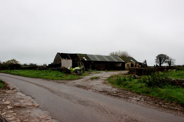
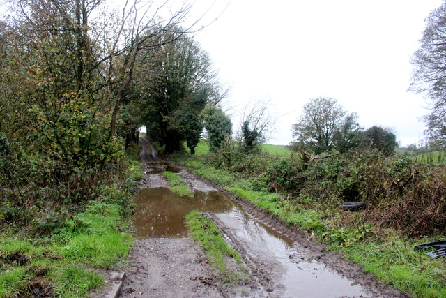
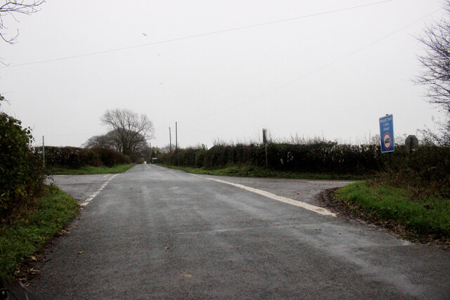
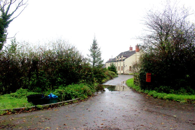
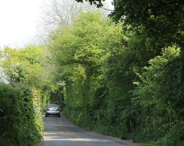
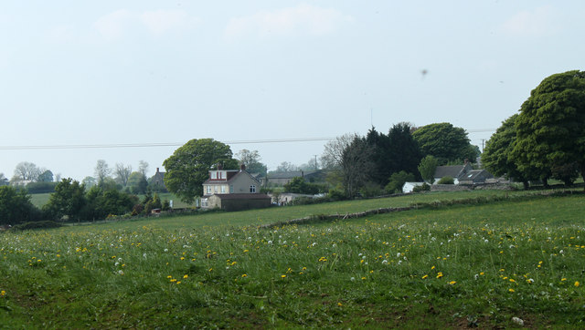
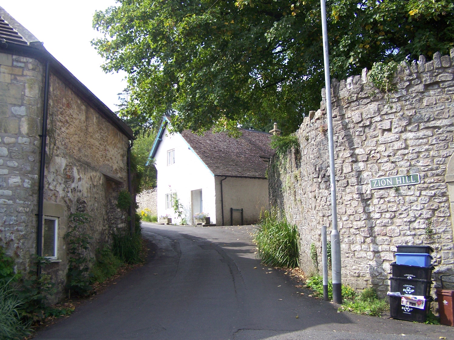
Beacon Pond Images
Images are sourced within 2km of 51.214276/-2.5161872 or Grid Reference ST6446. Thanks to Geograph Open Source API. All images are credited.


Beacon Pond is located at Grid Ref: ST6446 (Lat: 51.214276, Lng: -2.5161872)
Administrative County: Somerset
District: Mendip
Police Authority: Avon and Somerset
What 3 Words
///best.firm.scorching. Near Shepton Mallet, Somerset
Nearby Locations
Related Wikis
Oakhill
Oakhill is a village in the Mendip district of Somerset, England, in Ashwick parish approximately 2.5 miles (4 km) north of Shepton Mallet. It lies between...

Balch Cave
Balch Cave (grid reference ST65734753) is a cave in Fairy Cave Quarry, near Stoke St Michael in the limestone of the Mendip Hills, in Somerset, England...

Hillier's Cave
Hillier's Cave (grid reference ST65734753) is a cave in Fairy Cave Quarry, near Stoke St Michael in the limestone of the Mendip Hills, in Somerset, England...
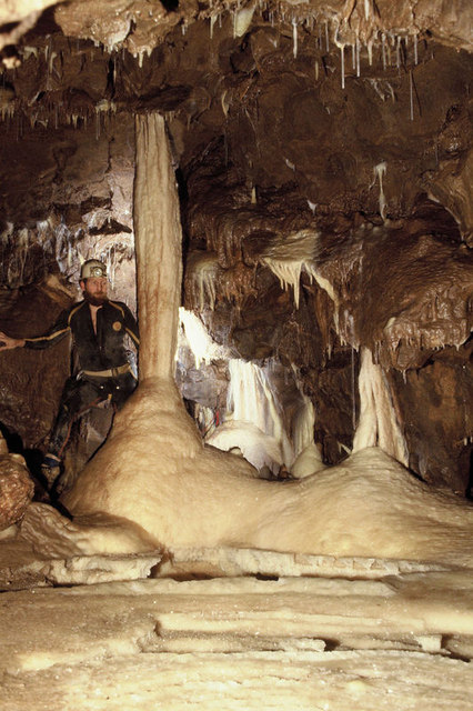
Shatter Cave
Shatter Cave is a cave in Fairy Cave Quarry, near Stoke St Michael in the limestone of the Mendip Hills, in Somerset, England. It falls within the St....

Fairy Cave Quarry
Fairy Cave Quarry (grid reference ST65734753) is between Stoke St Michael and Oakhill in the limestone of the Mendip Hills, in Somerset, England. Quarrying...

Ashwick
Ashwick is a village in Somerset, England, about three miles north of Shepton Mallet and seven miles east from Wells. It has also been a civil parish since...

W/L Cave
W/L Cave is part of the Fairy Cave Quarry group of caves between Stoke St Michael and Oakhill in the limestone of the Mendip Hills, in Somerset, England...

Harridge Wood
Harridge Wood is an area of woodland in Somerset, England. From about 1300 AD part of the wood was the scene of coal mining, which continued until around...
Nearby Amenities
Located within 500m of 51.214276,-2.5161872Have you been to Beacon Pond?
Leave your review of Beacon Pond below (or comments, questions and feedback).