Fir Tree Flash
Lake, Pool, Pond, Freshwater Marsh in Lancashire
England
Fir Tree Flash

The requested URL returned error: 429 Too Many Requests
If you have any feedback on the listing, please let us know in the comments section below.
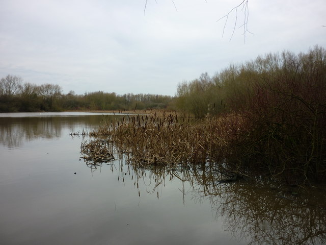
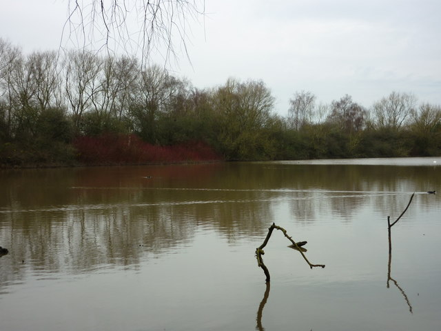
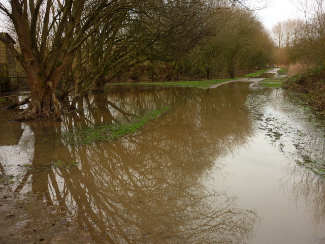
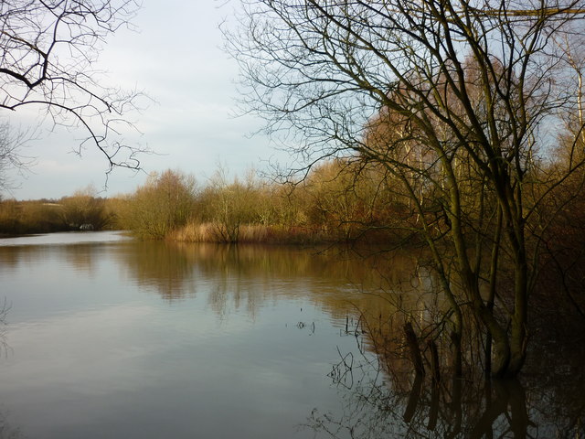
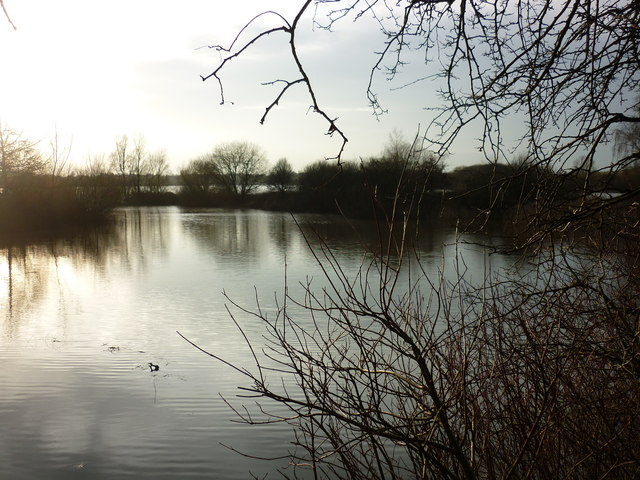
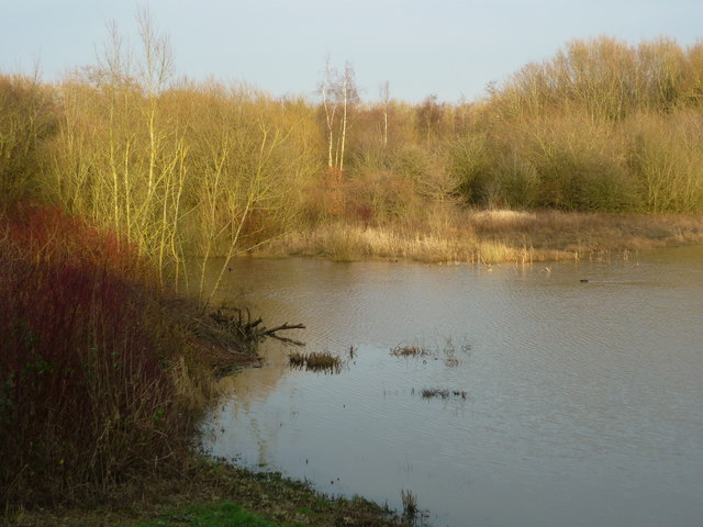
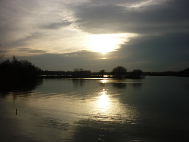
Fir Tree Flash Images
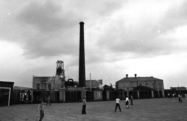
Images are sourced within 2km of 53.506009/-2.5434685 or Grid Reference SD6401. Thanks to Geograph Open Source API. All images are credited.

![From Tom Edmondson's Hide (1) Taken from Tom Edmondson's Hide, Pennington Flash Country Park, Leigh, Greater Manchester, and looking south east. [Heron spotted off to the left of shot.]](https://s2.geograph.org.uk/geophotos/04/80/31/4803110_f7c4b3ee.jpg)


Fir Tree Flash is located at Grid Ref: SD6401 (Lat: 53.506009, Lng: -2.5434685)
Unitary Authority: Wigan
Police Authority: Greater Manchester
What 3 Words
///limbs.raced.design. Near Leigh, Manchester
Nearby Locations
Related Wikis

Leigh West (ward)
Leigh West is an electoral ward in Leigh, England. It forms part of Wigan Metropolitan Borough Council, as well as the parliamentary constituency of Leigh...
Westleigh, Greater Manchester
Westleigh, a suburb of Leigh, Greater Manchester, England, is one of three ancient townships, Westleigh, Bedford and Pennington, that merged in 1875 to...
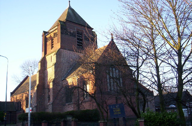
St Peter's Church, Westleigh, Greater Manchester
St Peter's Church is in Firs Lane, Westleigh, a district of Leigh, Greater Manchester, England. It is an active Anglican parish church in the deanery of...
Parsonage Colliery
Parsonage Colliery was a coal mine operating on the Lancashire Coalfield in Leigh, then in the historic county of Lancashire, England. The colliery, close...
Nearby Amenities
Located within 500m of 53.506009,-2.5434685Have you been to Fir Tree Flash?
Leave your review of Fir Tree Flash below (or comments, questions and feedback).