Ansley

Civil Parish in Warwickshire North Warwickshire

England

Ansley

Play area at Birchley Heath The play equipment is provided by Ansley Parish Council on this small field in the hamlet of Birchley Heath. In the background is Bentley Park Wood; historically this area was covered by the vast Forest of Arden.
Play area at Birchley Heath Credit: Stephen McKay

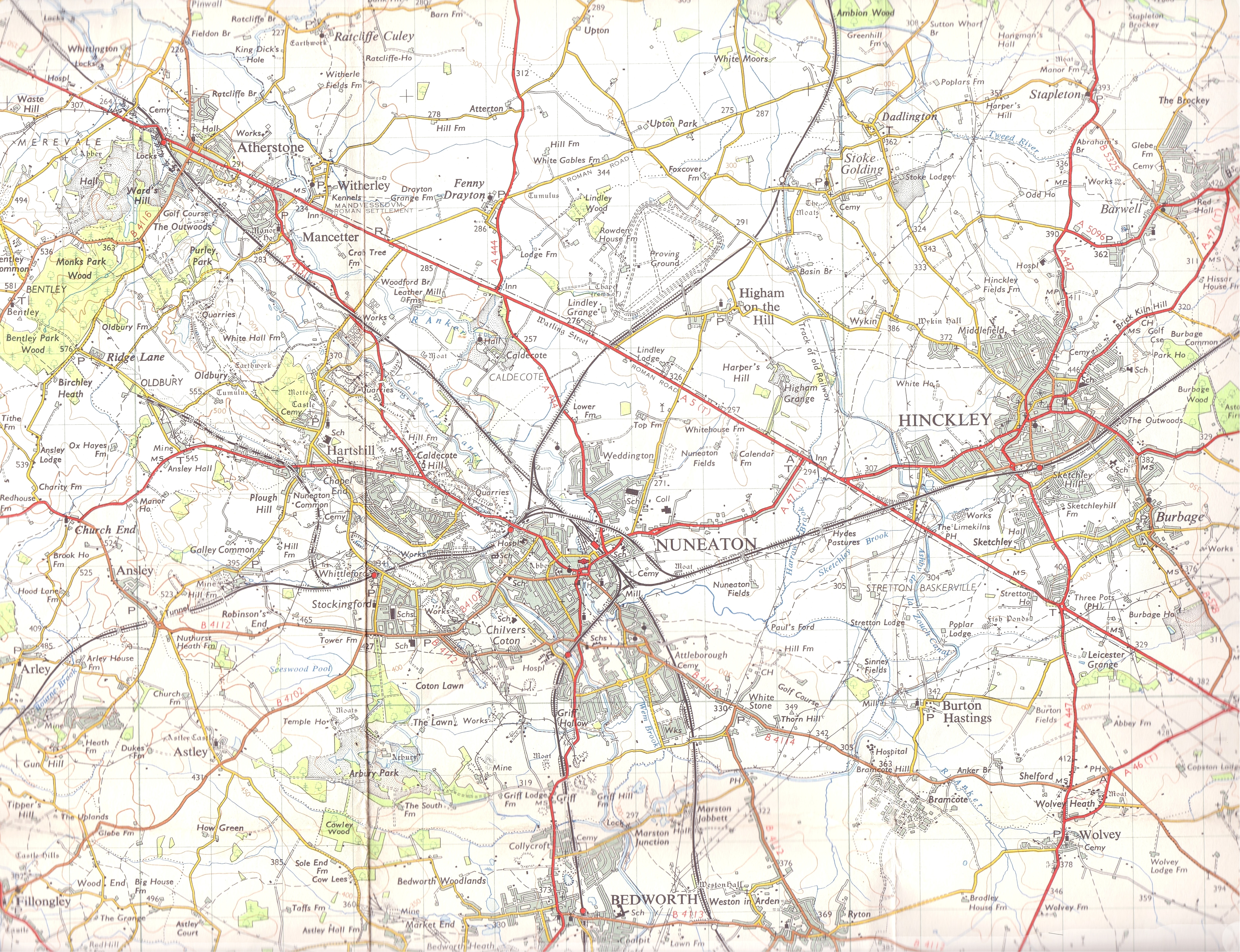
Ansley is a civil parish located in the county of Warwickshire, England. It is situated approximately 3 miles north of Nuneaton and 18 miles east of Coventry. The parish covers an area of around 1,000 acres and is home to a population of approximately 2,500 residents.

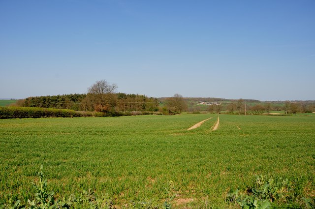
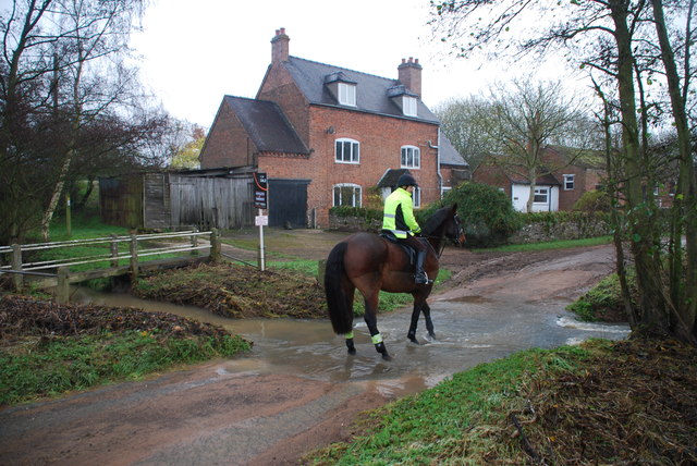
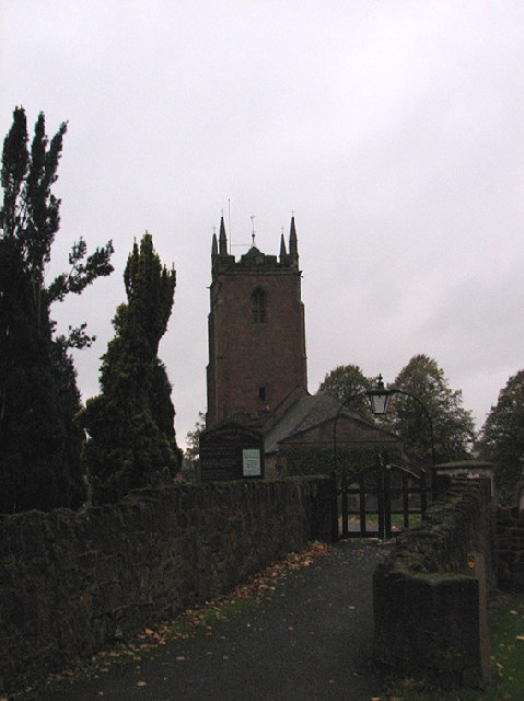
The village of Ansley is known for its picturesque countryside and charming rural atmosphere. It is surrounded by open fields, farmland, and woodlands, offering stunning views and a peaceful environment. The village itself consists of a mix of traditional cottages, modern houses, and a few local amenities.

The history of Ansley dates back centuries, with evidence of human habitation in the area since prehistoric times. The village was mentioned in the Domesday Book of 1086, where it was recorded as "Aneslei." Throughout its history, Ansley remained primarily an agricultural community, with farming being the main source of livelihood for its residents.

In terms of amenities, Ansley has a primary school, a village hall, and a local pub. It is well-connected to nearby towns and cities through road networks, with the A5 and M42 motorway easily accessible. The village also benefits from its proximity to the larger town of Nuneaton, where residents can find a wider range of services and facilities.

Overall, Ansley offers a delightful rural lifestyle with its scenic surroundings and close-knit community. It is a popular choice for those seeking a peaceful and idyllic living environment within easy reach of larger urban areas.

If you have any feedback on the listing, please let us know in the comments section below.
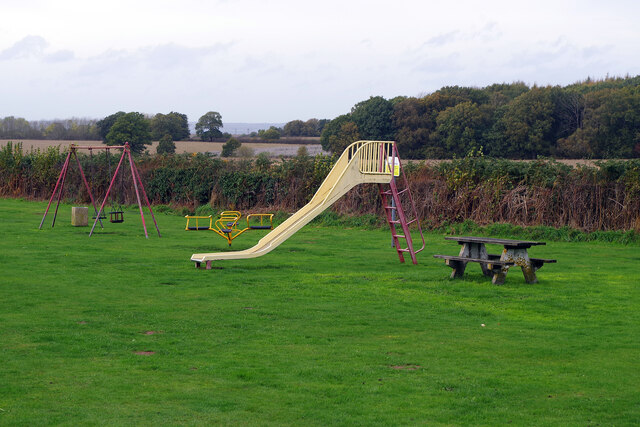
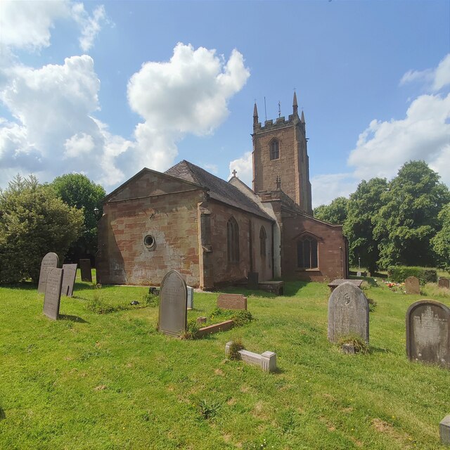
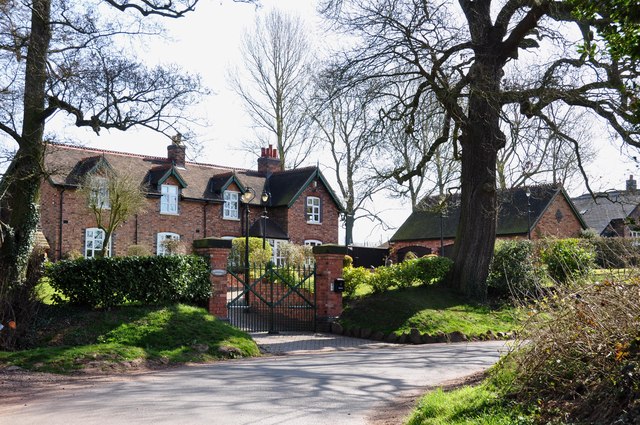
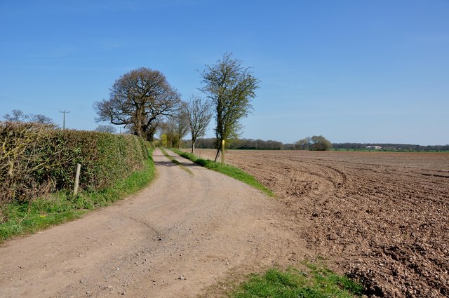
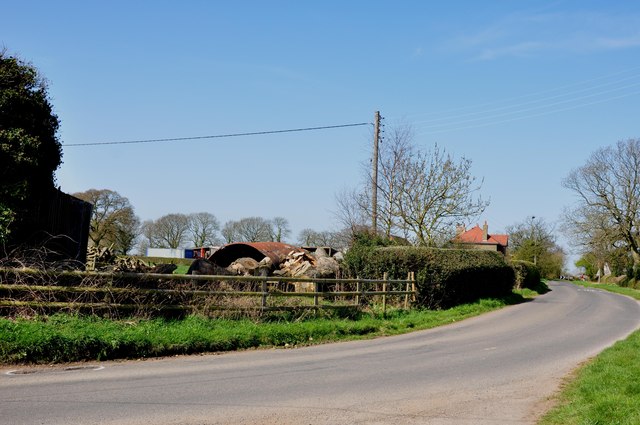
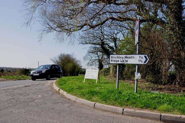
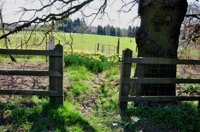
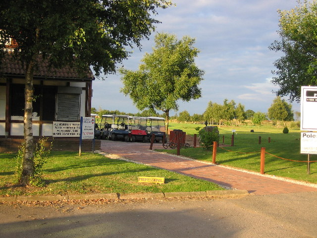
Ansley Images

Images are sourced within 2km of 52.532736/-1.570811 or Grid Reference SP2992. Thanks to Geograph Open Source API. All images are credited.

Play area at Birchley Heath The play equipment is provided by Ansley Parish Council on this small field in the hamlet of Birchley Heath. In the background is Bentley Park Wood; historically this area was covered by the vast Forest of Arden.
Play area at Birchley Heath
The play equipment is provided by Ansley Parish Council on this small field in the hamlet of Birchley Heath. In the background is Bentley Park Wood; historically this area was covered by the vast Forest of Arden.
Birmingham Road, Ansley The 'Slow down think!' sign is labelled 'Warwickshire Police' and 'Warwickshire County Council'. The speed limit here is 30mph.
Birmingham Road, Ansley
The 'Slow down think!' sign is labelled 'Warwickshire Police' and 'Warwickshire County Council'. The speed limit here is 30mph.
St Lawrence's Church
The northern edge of Arley Wood Though Arley Wood was turned into a conifer plantation in the 1960s, its edges remain those of an ancient wood: sinuous, curving or zigzag, as described by Oliver Rackham, with broadleaved trees and a woodbank and ditch. The slight rise of the land outside the wood to the ditch along the edge can be seen very clearly here. The field beyond the wood is very muddy and has been reseeded by the farmer; a large puddle has formed after heavy rain. The land falls away to the Bourne Brook, with more fields and woodland beyond, as the land rises again towards Ansley. See also <a href="https://www.geograph.org.uk/photo/7630660">SP2891 : A young oak tree among the conifers, Arley Wood</a> and <a href="https://www.geograph.org.uk/photo/7630689">SP2891 : Oak tree in Arley Wood</a>.
The northern edge of Arley Wood
Though Arley Wood was turned into a conifer plantation in the 1960s, its edges remain those of an ancient wood: sinuous, curving or zigzag, as described by Oliver Rackham, with broadleaved trees and a woodbank and ditch. The slight rise of the land outside the wood to the ditch along the edge can be seen very clearly here. The field beyond the wood is very muddy and has been reseeded by the farmer; a large puddle has formed after heavy rain. The land falls away to the Bourne Brook, with more fields and woodland beyond, as the land rises again towards Ansley. See also SP2891 : A young oak tree among the conifers, Arley Wood and SP2891 : Oak tree in Arley Wood.
North Eastern edge of Arley Wood The edge of the wood looks well-trimmed here, and the boundary ditch is clearly visible, crossed by a plank footbridge. See <a href="https://www.geograph.org.uk/photo/7630845">SP2791 : The northern edge of Arley Wood</a>, also <a href="https://www.geograph.org.uk/photo/7630660">SP2891 : A young oak tree among the conifers, Arley Wood</a> and <a href="https://www.geograph.org.uk/photo/7630689">SP2891 : Oak tree in Arley Wood</a>.
North Eastern edge of Arley Wood
The edge of the wood looks well-trimmed here, and the boundary ditch is clearly visible, crossed by a plank footbridge. See SP2791 : The northern edge of Arley Wood, also SP2891 : A young oak tree among the conifers, Arley Wood and SP2891 : Oak tree in Arley Wood.
Cottages on Green Lane near Birchley Heath The Centenary Way passes to the left of these cottages.
Cottages on Green Lane near Birchley Heath
The Centenary Way passes to the left of these cottages.
Playing field at Birchley Heath The Centenary Way runs along the side of this playing field.
Playing field at Birchley Heath
The Centenary Way runs along the side of this playing field.
Access track to Birchley Farm off Birchley Heath Road There is a large locked steel gate to the left of the picture.
Access track to Birchley Farm off Birchley Heath Road
There is a large locked steel gate to the left of the picture.
Cottage Farm on Birchley Heath Road
Birchley Heath Road leaving the B4114 Nuneaton Road The small sign was advertising a "Ruff Luck Rescue" fun dog show at Glebe Farm.
Birchley Heath Road leaving the B4114 Nuneaton Road
The small sign was advertising a "Ruff Luck Rescue" fun dog show at Glebe Farm.
Footpath through the Daffodils to a kissing gate
Entrance to Rye Hill Farm off the B4114 Nuneaton Road A footpath runs across the field to the right of the farm.
Entrance to Rye Hill Farm off the B4114 Nuneaton Road
A footpath runs across the field to the right of the farm.
Looking across a Field of growing Corn Jersey Wood is to the left and Dudley Wood Farm can be seen in the distance.
Looking across a Field of growing Corn
Jersey Wood is to the left and Dudley Wood Farm can be seen in the distance.
Ford and Rider at Ansley Mill Ford This irish bridge ford is found on the Bourne Brook. Shown here after heavy rain.
Ford and Rider at Ansley Mill Ford
This irish bridge ford is found on the Bourne Brook. Shown here after heavy rain.
Small playground At Birchley Heath.
Small playground
At Birchley Heath.
Church End Brewery  This somewhat uninspiring building, tucked away down a narrow driveway between houses in Ridge Lane, houses both the Church End Brewery and a bar selling a range of its beers. There is a large car park and beer garden. Church End Brewery was originally established in 1994, although not on this site; as well as the brewery tap here the company owns another pub at Stoke Golding in Leicestershire.
Church End Brewery
This somewhat uninspiring building, tucked away down a narrow driveway between houses in Ridge Lane, houses both the Church End Brewery and a bar selling a range of its beers. There is a large car park and beer garden. Church End Brewery was originally established in 1994, although not on this site; as well as the brewery tap here the company owns another pub at Stoke Golding in Leicestershire.
Looking towards Ridgelane
St. Lawrence's Church, Church End One of three churches within the parish of Arley.
St. Lawrence's Church, Church End
One of three churches within the parish of Arley.
Show me another place!

Ansley is located at Grid Ref: SP2992 (Lat: 52.532736, Lng: -1.570811)

Administrative County: Warwickshire

District: North Warwickshire

Police Authority: Warwickshire

What 3 Words

///picnic.flirts.again. Near Hartshill, Warwickshire

Related Wikis

Related Videos

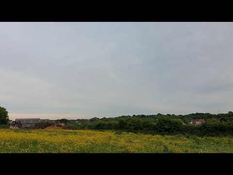
Bentley Woods - 4K DJI Mini 4 Pro Drone & Walking Tour - 1st Feb 2024 .

"Nothing like a walk to clear your mind" Taking a nice walk round Bentley Woods in Ridge Lane North Warwickshire . Drone views ...

A walk in JUNE 2022

We planned random walk nearby but weather was not very favorable. However, we did manage to warm up and enjoyed the walk, ...

Annual leave hike

Had the day off so ventured out for a hike from our new estate we are moving too. Went to check out all the local trails and new ...

Nearby Amenities

Located within 500m of 52.532736,-1.570811
Post Box
Post Box Type: wall
Postal Code: CV10
Ref: CV10 79
Royal Cypher: GR
Royal Cypher Wikidata: Q33102273
Lat/Long: 52.5308439/-1.5721867
Give Way
Source: survey
Lat/Long: 52.5305492/-1.570488
Give Way
Source: survey
Lat/Long: 52.5306289/-1.5706894
Church End
Is In: Warwickshire
Place: hamlet
Source: survey
Lat/Long: 52.5303869/-1.5713835
Ansley War Memorial
Heritage: 2
Heritage Operator: Historic England
Historic: memorial
Listed Status: Grade II
Source: Warwicks CC Aerial Imagery 2013
Lat/Long: 52.5306098/-1.5703516
Barrier: stile
Source: survey
Lat/Long: 52.5307265/-1.5745734
Give Way
Source: survey
Lat/Long: 52.5305996/-1.5708376
Manor Farm Shop
Shop: butcher
Lat/Long: 52.531098/-1.5722846
The data included in this document is from www.openstreetmap.org. The data is made available under ODbL.

Have you been to Ansley?

Leave your review of Ansley below (or comments, questions and feedback).