Ansford
Civil Parish in Somerset South Somerset
England
Ansford
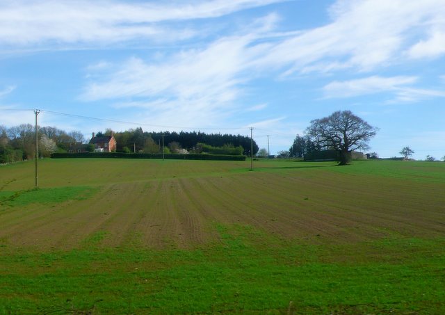
Ansford is a civil parish located in the county of Somerset, England. It is situated near the market town of Castle Cary and covers an area of approximately 3.5 square kilometers. As of the latest census in 2011, the parish had a population of around 1,100 residents.
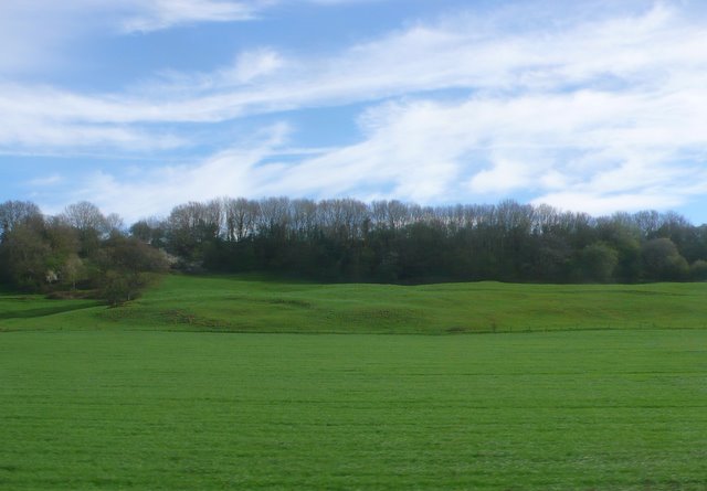
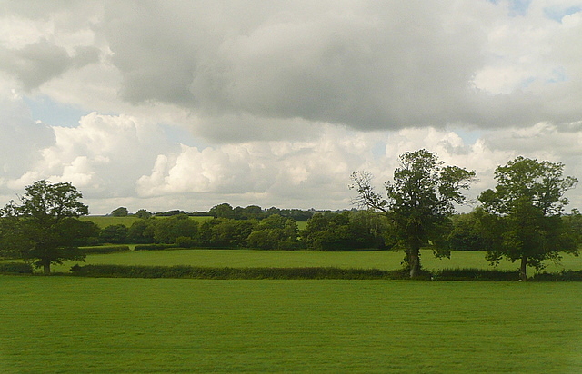
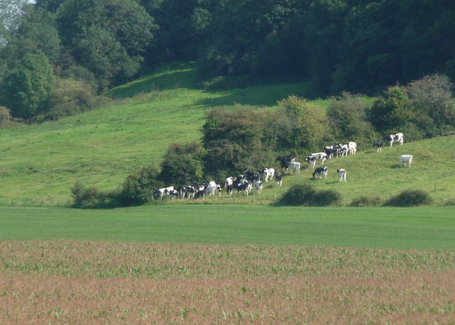
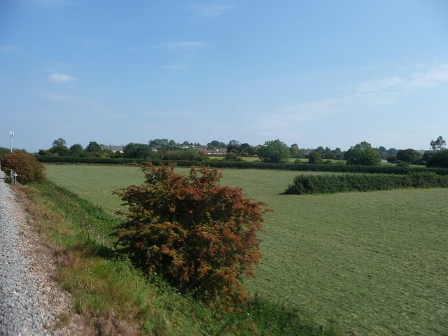
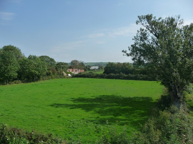
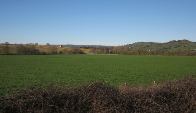
The area is known for its picturesque countryside, with rolling hills and lush green fields surrounding the village. It is located within the Mendip Hills Area of Outstanding Natural Beauty, offering stunning views and ample opportunities for outdoor activities such as hiking and cycling.
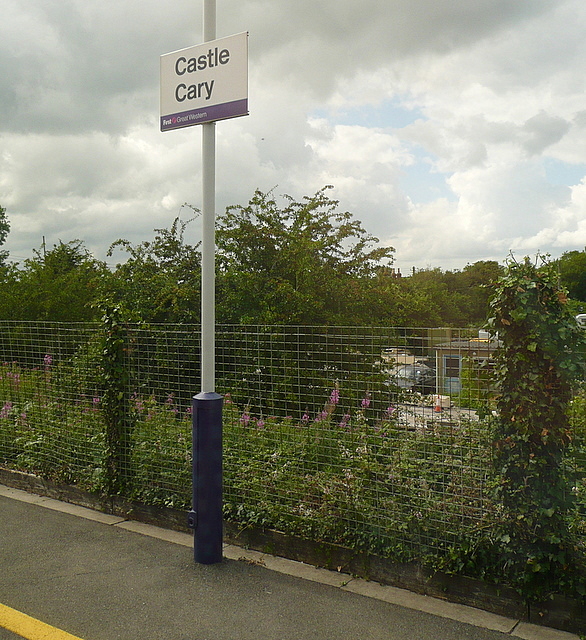
Ansford is primarily a residential area, with a mix of housing styles ranging from traditional stone cottages to modern developments. The village has a small but thriving community, with amenities including a primary school, a church, a village hall, and a few local shops and services. It also benefits from its close proximity to Castle Cary, which provides additional amenities such as supermarkets, restaurants, and a train station with direct links to London and other major cities.
The parish has a rich history, with evidence of human habitation dating back to the Roman period. It was mentioned in the Domesday Book of 1086 as "Anesforde" and has seen various changes and developments over the centuries.
Overall, Ansford offers a peaceful and scenic place to live, with a strong sense of community and easy access to both rural and urban amenities.
If you have any feedback on the listing, please let us know in the comments section below.
Ansford Images
Images are sourced within 2km of 51.098248/-2.514166 or Grid Reference ST6433. Thanks to Geograph Open Source API. All images are credited.


Ansford is located at Grid Ref: ST6433 (Lat: 51.098248, Lng: -2.514166)
Administrative County: Somerset
District: South Somerset
Police Authority: Avon and Somerset
What 3 Words
///reverses.tidying.power. Near Castle Cary, Somerset
Nearby Locations
Related Wikis
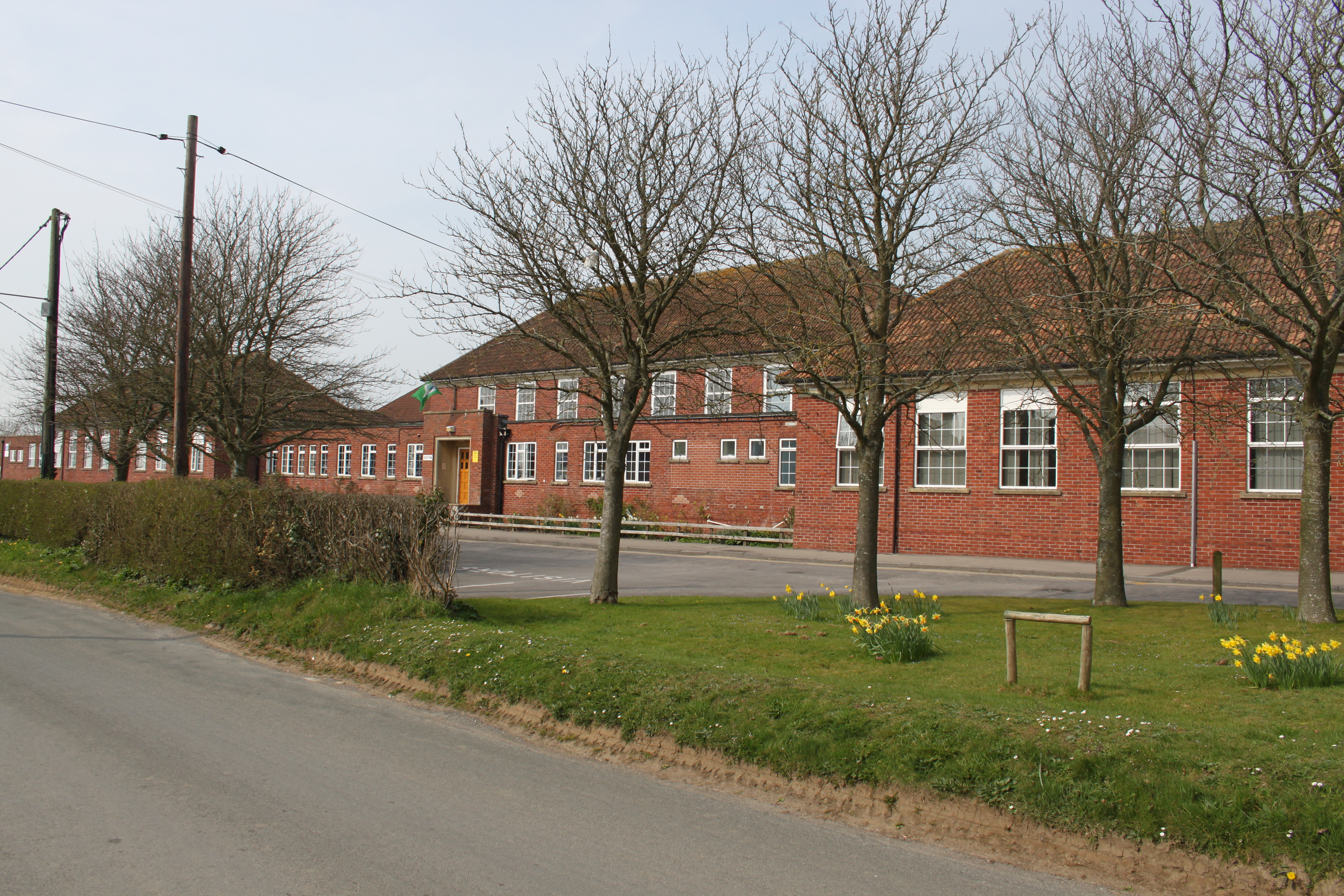
Ansford Academy
Ansford Academy, previously known as Ansford School, is a school located in Ansford, which lies on the northern edge of Castle Cary in Somerset, England...

Somerton and Frome (UK Parliament constituency)
Somerton and Frome is a constituency in Somerset represented in the House of Commons of the UK Parliament since 2023 by Sarah Dyke of the Liberal Democrats...
Ansford
Ansford is a village and civil parish in Somerset, England, situated on the northern edge of Castle Cary. The civil parish has a population of approximately...

Church of St Andrew, Ansford
The Church of St Andrew in Ansford, Somerset, England, was built in the 15th century. It is a Grade II* listed building. == History == The tower remains...
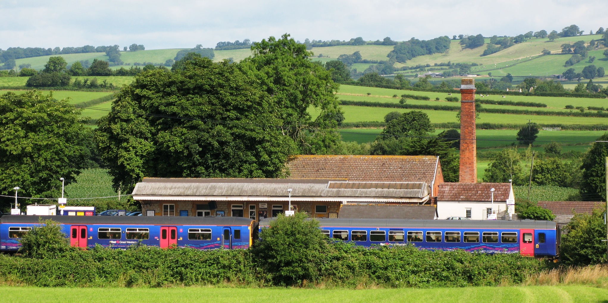
Castle Cary railway station
Castle Cary railway station is on the Reading to Taunton line 115.25 miles (185.48 km) south west of London Paddington and the Bristol to Weymouth line...

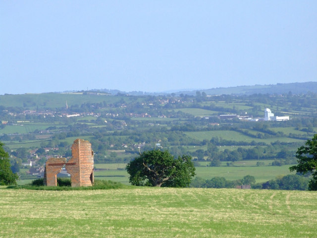
Cary Castle
Cary Castle stood on Lodge Hill overlooking the town of Castle Cary, Somerset, England. It is a Scheduled Ancient Monument. == Details == The motte and...

Castle Cary
Castle Cary () is a market town and civil parish in south Somerset, England, 5 miles (8 km) north west of Wincanton and 8 miles (12.9 km) south of Shepton...

Church of All Saints, Castle Cary
All Saints Church in Castle Cary in the English county of Somerset dates from 1470 and is notable for its high steeple. It is a Grade II* listed building...
Nearby Amenities
Located within 500m of 51.098248,-2.514166Have you been to Ansford?
Leave your review of Ansford below (or comments, questions and feedback).