Annesley
Civil Parish in Nottinghamshire Ashfield
England
Annesley
Annesley is a civil parish located in the county of Nottinghamshire, England. It is situated approximately 12 miles northwest of Nottingham city center. The parish covers an area of around 3 square miles and has a population of approximately 3,000 residents.
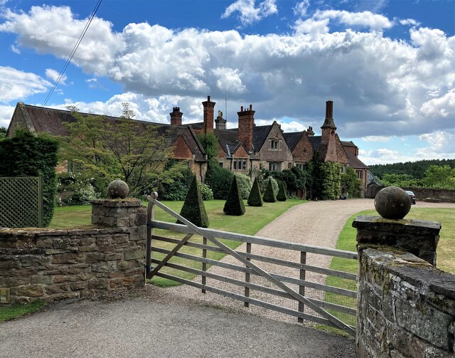
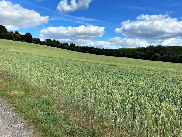
Annesley is known for its rich history, dating back to medieval times. The village is surrounded by beautiful countryside, with rolling hills and picturesque landscapes. The parish is home to a number of historic buildings, including Annesley Hall, which dates back to the 17th century and is a Grade II listed building.
The village of Annesley has a close-knit community, with a range of amenities and services available for residents. These include a primary school, a village hall, a church, and several small shops and businesses. There are also a number of recreational facilities, such as sports fields and playgrounds.
Annesley is well-connected to the surrounding areas by road, with easy access to the M1 motorway, providing links to Nottingham, Derby, and Sheffield. There are also regular bus services operating in the area, providing transport to nearby towns and villages.
Overall, Annesley is a peaceful and charming village, offering a rural setting with convenient access to nearby urban areas. Its rich history and picturesque surroundings make it an attractive place to live for those seeking a blend of tranquility and convenience.
If you have any feedback on the listing, please let us know in the comments section below.
Annesley Images
Images are sourced within 2km of 53.062056/-1.254826 or Grid Reference SK5051. Thanks to Geograph Open Source API. All images are credited.


Annesley is located at Grid Ref: SK5051 (Lat: 53.062056, Lng: -1.254826)
Administrative County: Nottinghamshire
District: Ashfield
Police Authority: Nottinghamshire
What 3 Words
///trader.porch.saves. Near Kirkby in Ashfield, Nottinghamshire
Nearby Locations
Related Wikis
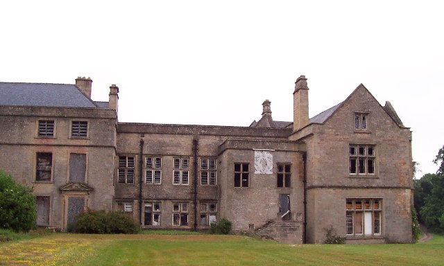
Annesley Hall, Nottinghamshire
Annesley Hall is a Grade II listed country house near Annesley in Nottinghamshire, England and the ancestral home of the Chaworth-Musters family. The 13th...
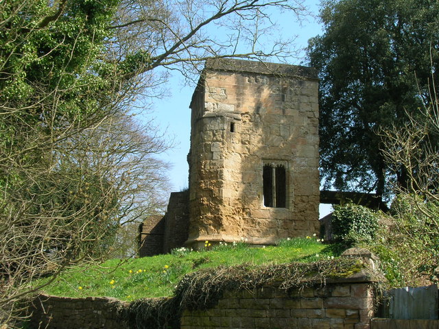
Annesley Old Church
Annesley Old Church or the Church of All Saints, Annesley Park, is a disused church in a ruinous condition which stands on a mound near to Annesley Hall...
Annesley Woodhouse
Annesley Woodhouse is a village in Nottinghamshire, England, located approximately 10 miles north of the City of Nottingham and 6 miles south of Mansfield...
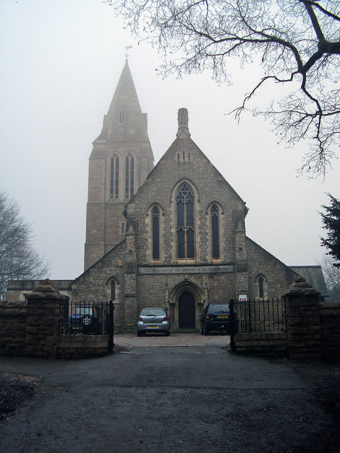
St John the Evangelist's Church, Kirkby Woodhouse
St John the Evangelist's Church, Kirkby-in-Ashfield is a parish church in the Church of England in Kirkby Woodhouse, Nottinghamshire. == History == St...

Felley
Felley is a civil parish in the Ashfield district, in Nottinghamshire, England, located between Hucknall and Sutton-in-Ashfield. According to the 2001...
Felley Priory
Felley Priory is a 16th century house with gardens located in the village of Felley, Nottinghamshire, UK. It is situated on the grounds of a former priory...
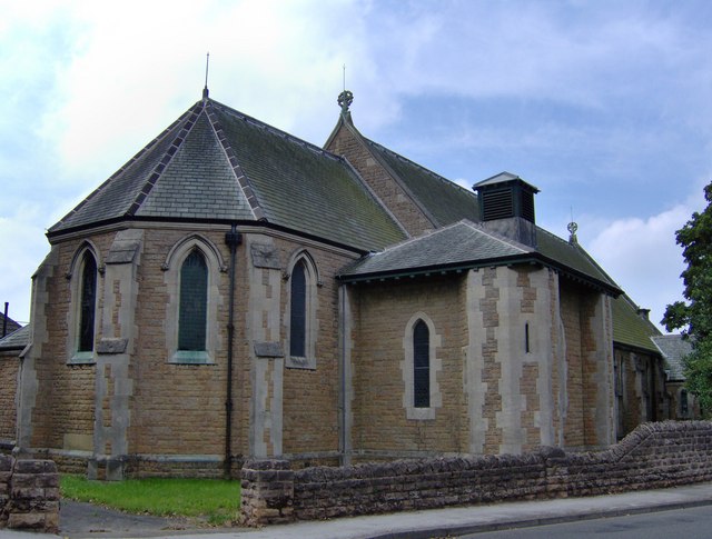
All Saints' Church, Annesley
All Saints' Church, Annesley is a parish church in the Church of England in Annesley, Nottinghamshire. The church is Grade II* listed by the Department...

Annesley
Annesley is a village and civil parish in the Ashfield district of Nottinghamshire, England, between Hucknall and Kirkby-in-Ashfield. At the 2011 census...
Nearby Amenities
Located within 500m of 53.062056,-1.254826Have you been to Annesley?
Leave your review of Annesley below (or comments, questions and feedback).