Anmer
Civil Parish in Norfolk King's Lynn and West Norfolk
England
Anmer
Anmer is a civil parish located in the county of Norfolk, England. It is situated approximately 12 miles north-east of the town of King's Lynn and 2 miles east of the village of Great Massingham. The parish covers an area of around 7 square kilometers.
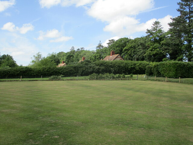
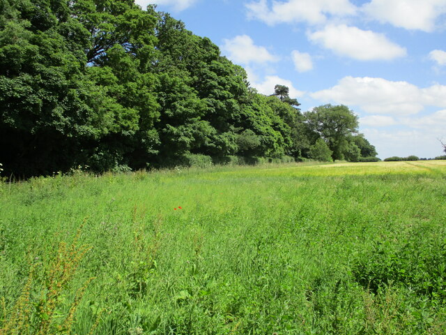
Anmer is a small, rural village with a population of around 100 people. It is known for its picturesque countryside and charming, traditional architecture. The village is surrounded by beautiful farmland and is situated close to the Sandringham Estate, which is a popular tourist attraction.
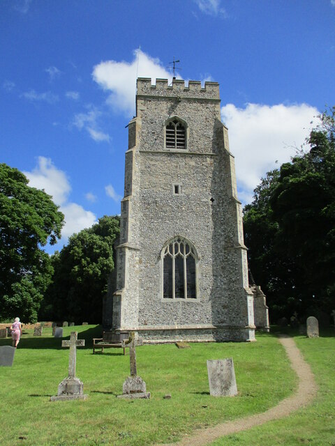
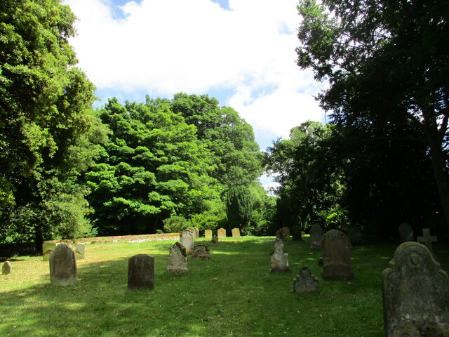
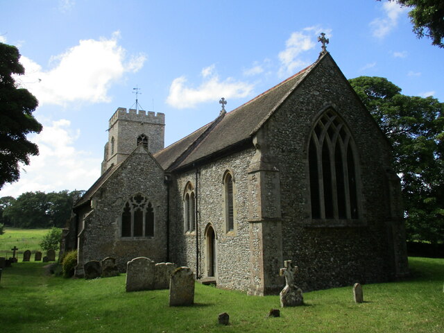
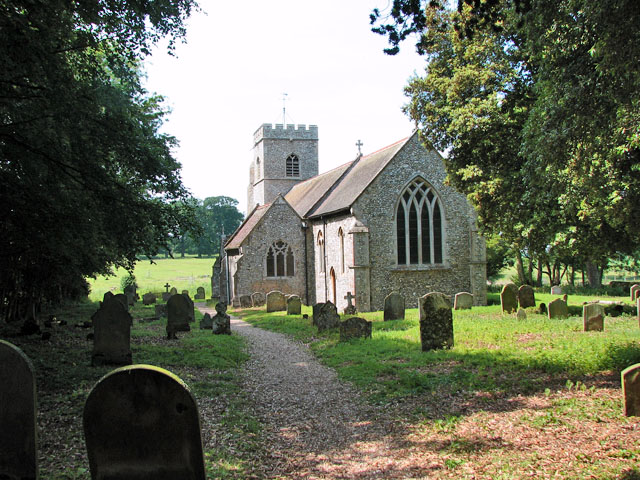
The main feature of the village is the St. Mary's Church, which dates back to the 14th century. The church is a Grade II listed building and is known for its impressive medieval architecture. Anmer Hall, a historic country house, is also located in the village. It was originally built in the 18th century and is now privately owned.
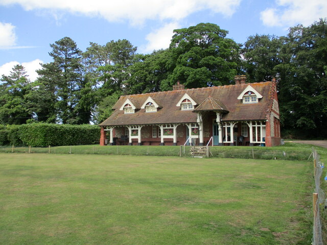
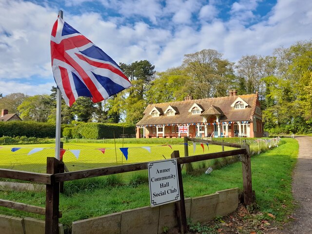
In terms of amenities, Anmer has a small village hall that hosts various community events throughout the year. However, for most services and facilities, residents typically rely on the nearby towns and villages.
Overall, Anmer is a quiet and picturesque village, offering a peaceful rural lifestyle to its residents. Its proximity to the Sandringham Estate and the beautiful Norfolk countryside make it an attractive destination for tourists and nature enthusiasts.
If you have any feedback on the listing, please let us know in the comments section below.
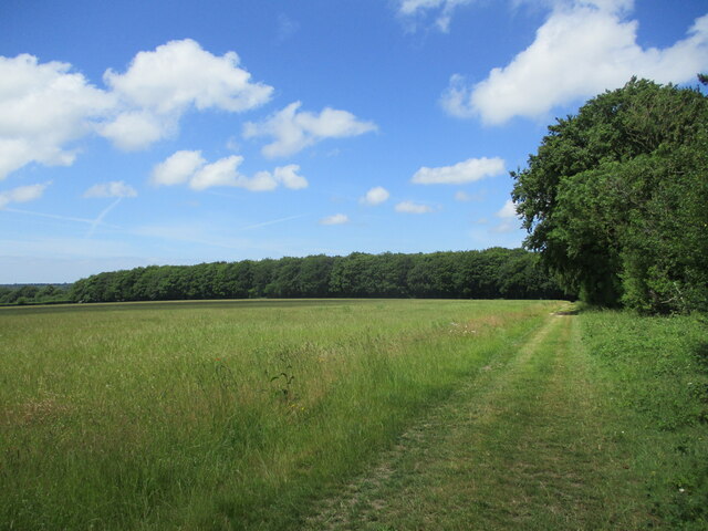
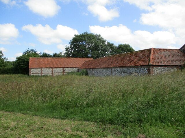
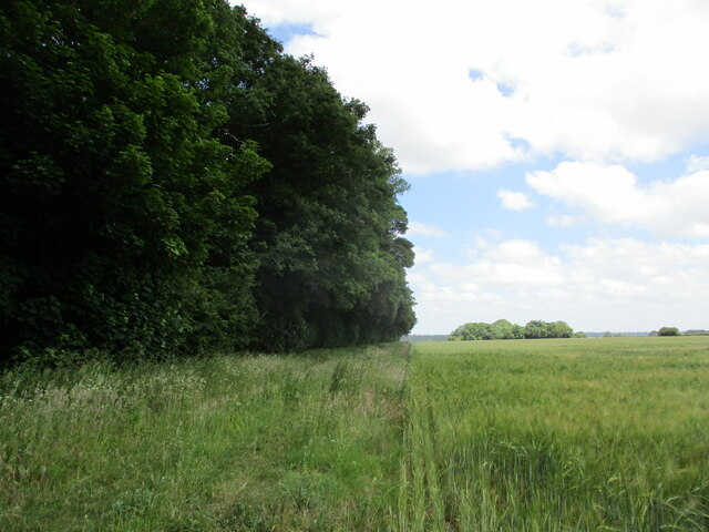
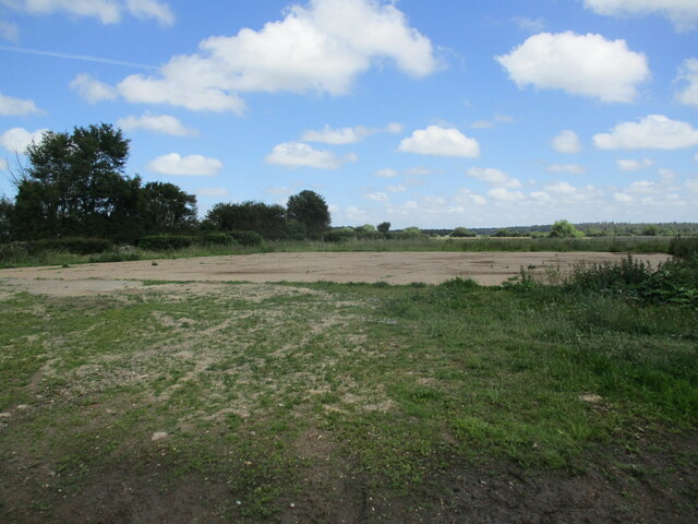
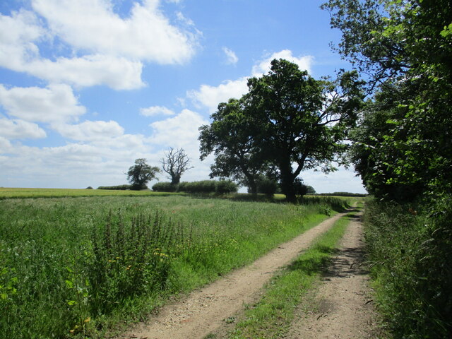
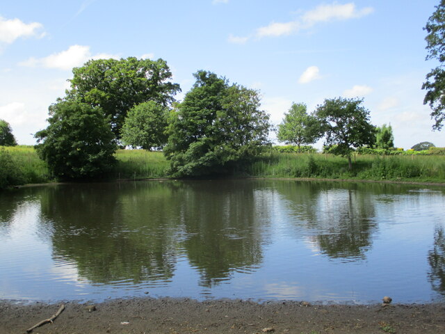
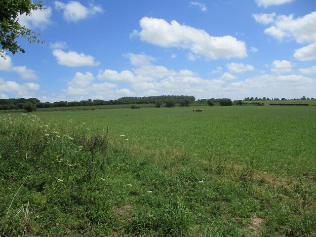
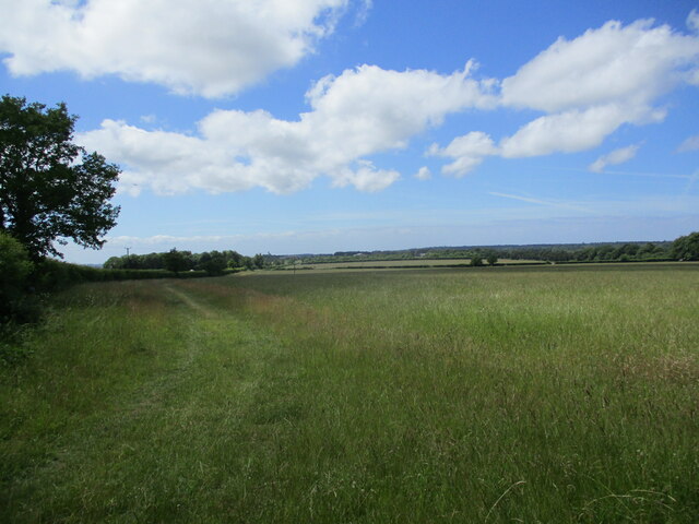
Anmer Images
Images are sourced within 2km of 52.834976/0.575579 or Grid Reference TF7329. Thanks to Geograph Open Source API. All images are credited.


Anmer is located at Grid Ref: TF7329 (Lat: 52.834976, Lng: 0.575579)
Administrative County: Norfolk
District: King's Lynn and West Norfolk
Police Authority: Norfolk
What 3 Words
///script.summaries.somebody. Near Dersingham, Norfolk
Nearby Locations
Related Wikis

Anmer Hall
Anmer Hall is a Georgian country house in the village of Anmer in Norfolk, England. Built in the 19th century, it was acquired by the Sandringham Estate...
Anmer
Anmer is a small village and civil parish in the English county of Norfolk. It is around 12 miles (19 km) north-east of the town of King's Lynn and 35...

Flitcham, Norfolk
Flitcham is a village and civil parish in the English county of Norfolk. The village is located 7.1 miles (11.4 km) north-east of King's Lynn and 33 miles...

Flitcham with Appleton
Flitcham with Appleton is a civil parish in the English county of Norfolk. It covers an area of 17.08 km2 (6.59 sq mi) and had a population of 236 in 96...
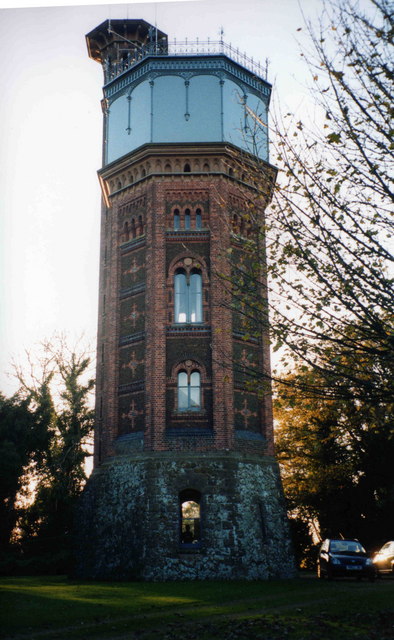
Appleton Water Tower
The Appleton Water Tower is a Victorian water tower located in Sandringham, Norfolk. It was constructed in 1877 to improve the quality of the water supply...
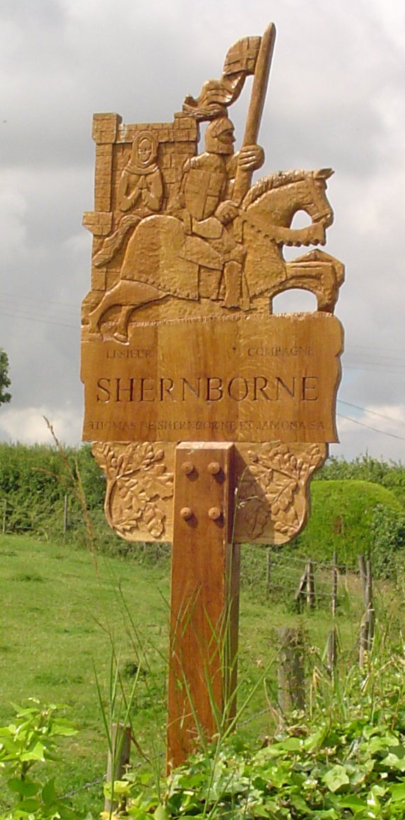
Shernborne
Shernborne is a civil parish in the English county of Norfolk. It covers an area of 5.63 km2 (2.17 sq mi) and had a population of 59 in 24 households at...

Great Bircham Windmill
Great Bircham Windmill is a Grade II listed tower mill in Great Bircham, Norfolk, England. == History == The earliest record of a windmill in Great Bircham...

York Cottage
York Cottage is a house in the grounds of Sandringham House in Norfolk, England. == History == The cottage was originally called the Bachelor's Cottage...
Nearby Amenities
Located within 500m of 52.834976,0.575579Have you been to Anmer?
Leave your review of Anmer below (or comments, questions and feedback).