Blowndown Plantation
Wood, Forest in Norfolk King's Lynn and West Norfolk
England
Blowndown Plantation
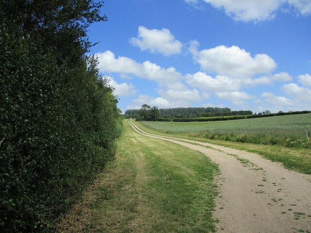
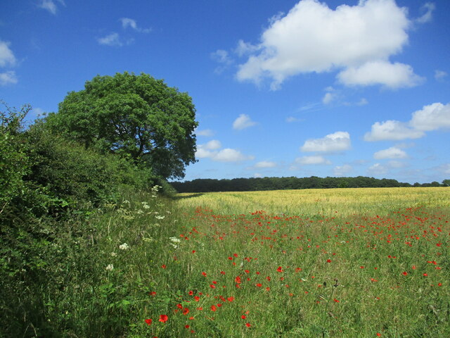
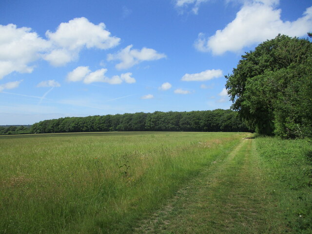
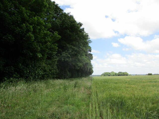
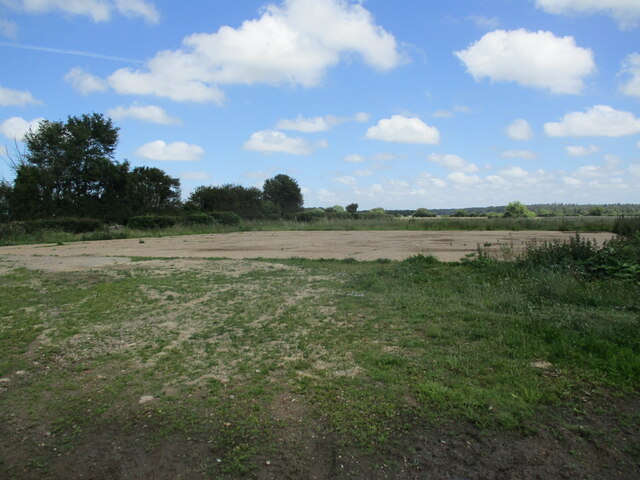
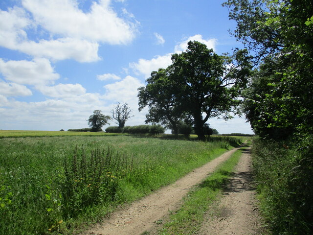
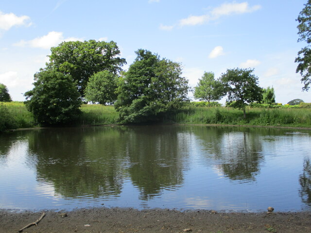
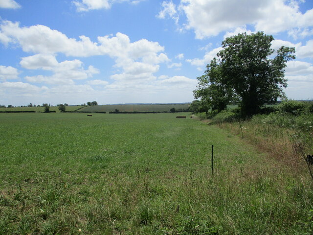
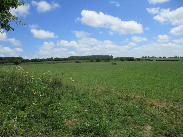
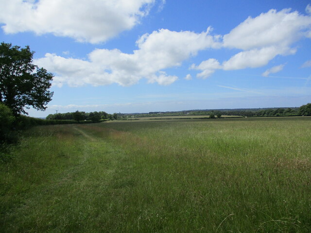
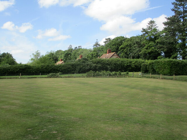
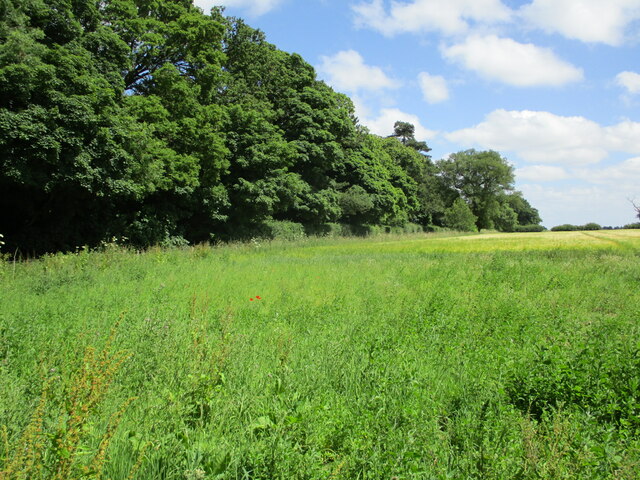
Blowndown Plantation, located in Norfolk, is a picturesque woodland area that offers visitors a serene and tranquil escape from the hustle and bustle of city life. This beautiful plantation is renowned for its dense and captivating forest, which covers an expansive area.
The plantation is characterized by a variety of tree species, including oak, beech, and pine, which create a diverse and vibrant ecosystem. The tall and majestic trees provide a canopy that filters sunlight, creating a cool and shaded atmosphere throughout the woodland. The forest floor is covered in a layer of moss and fallen leaves, making it a perfect spot for leisurely walks and exploring nature.
Blowndown Plantation is also home to a rich array of wildlife. Visitors may have the opportunity to spot deer, squirrels, and a plethora of bird species as they venture through the forest. The plantation offers an ideal habitat for these animals, with its abundance of food sources and shelter provided by the dense foliage.
In addition to its natural beauty, Blowndown Plantation also boasts several walking trails that allow visitors to fully immerse themselves in the splendor of the woodland. These well-maintained paths wind through the plantation, offering stunning views of the surrounding landscape and opportunities for birdwatching and photography.
Whether you are seeking a peaceful retreat, an opportunity to connect with nature, or simply a break from the urban environment, Blowndown Plantation in Norfolk is a must-visit destination.
If you have any feedback on the listing, please let us know in the comments section below.
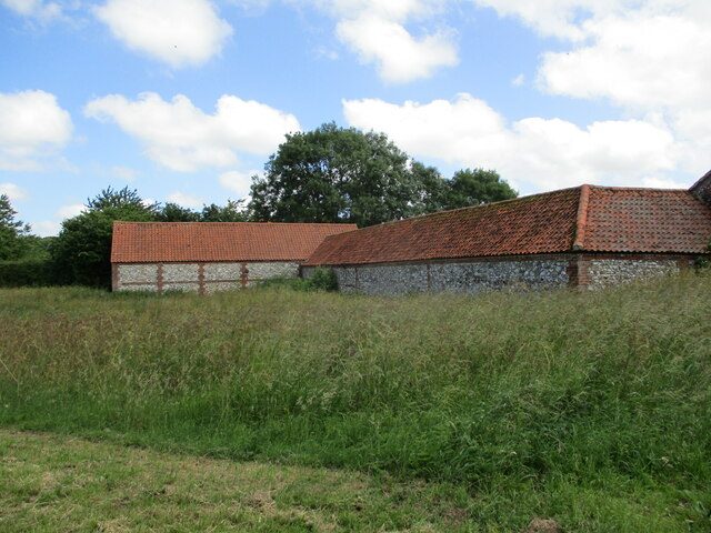
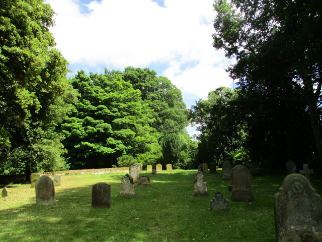
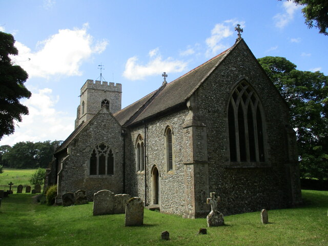
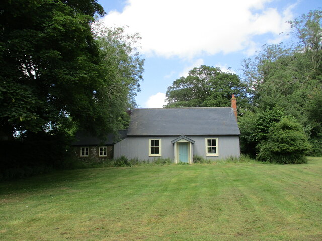
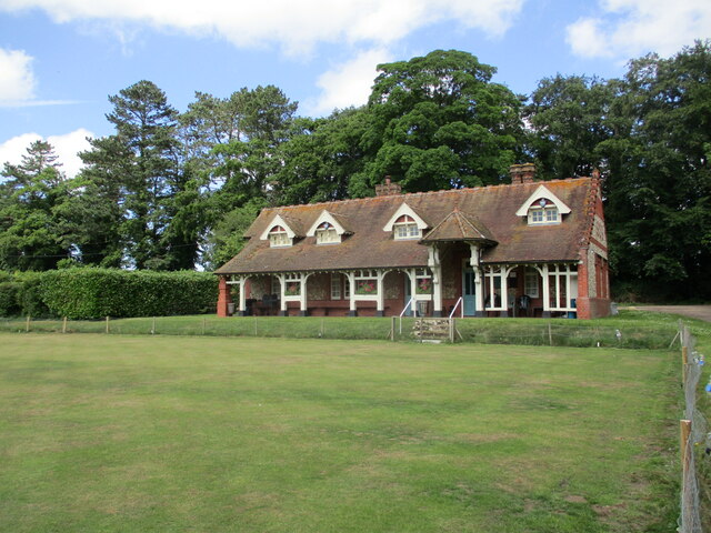
Blowndown Plantation Images
Images are sourced within 2km of 52.833679/0.57237028 or Grid Reference TF7329. Thanks to Geograph Open Source API. All images are credited.
Blowndown Plantation is located at Grid Ref: TF7329 (Lat: 52.833679, Lng: 0.57237028)
Administrative County: Norfolk
District: King's Lynn and West Norfolk
Police Authority: Norfolk
What 3 Words
///producing.insolvent.classed. Near Dersingham, Norfolk
Nearby Locations
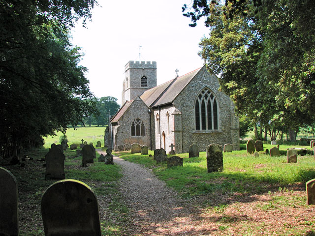
Related Wikis

Anmer Hall
Anmer Hall is a Georgian country house in the village of Anmer in Norfolk, England. Built in the 19th century, it was acquired by the Sandringham Estate...
Anmer
Anmer is a small village and civil parish in the English county of Norfolk. It is around 12 miles (19 km) north-east of the town of King's Lynn and 35...

Flitcham, Norfolk
Flitcham is a village and civil parish in the English county of Norfolk. The village is located 7.1 miles (11.4 km) north-east of King's Lynn and 33 miles...

Flitcham with Appleton
Flitcham with Appleton is a civil parish in the English county of Norfolk. It covers an area of 17.08 km2 (6.59 sq mi) and had a population of 236 in 96...
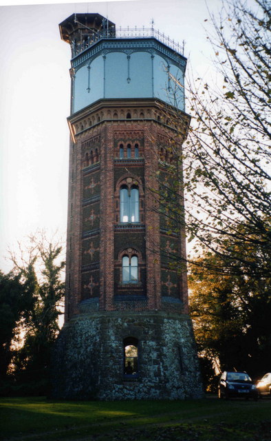
Appleton Water Tower
The Appleton Water Tower is a Victorian water tower located in Sandringham, Norfolk. It was constructed in 1877 to improve the quality of the water supply...
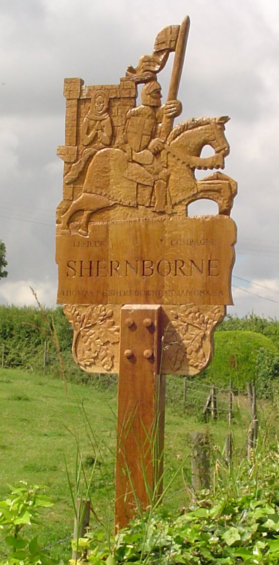
Shernborne
Shernborne is a civil parish in the English county of Norfolk. It covers an area of 5.63 km2 (2.17 sq mi) and had a population of 59 in 24 households at...

York Cottage
York Cottage is a house in the grounds of Sandringham House in Norfolk, England. == History == The cottage was originally called the Bachelor's Cottage...

Sandringham House
Sandringham House is a country house in the parish of Sandringham, Norfolk, England. It is one of the royal residences of Charles III, whose grandfather...
Nearby Amenities
Located within 500m of 52.833679,0.57237028Have you been to Blowndown Plantation?
Leave your review of Blowndown Plantation below (or comments, questions and feedback).