Beech Belt
Wood, Forest in Norfolk King's Lynn and West Norfolk
England
Beech Belt
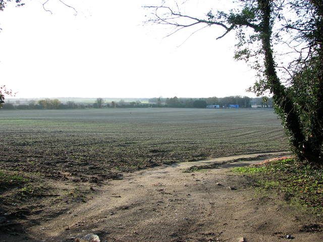
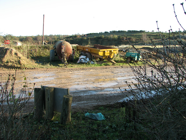
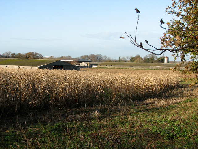
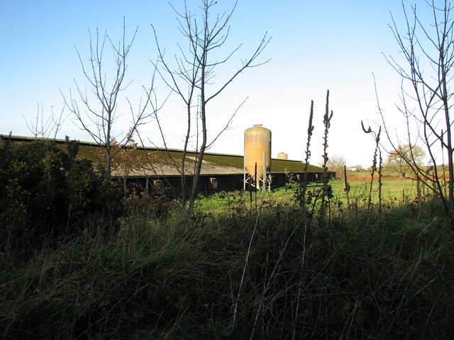
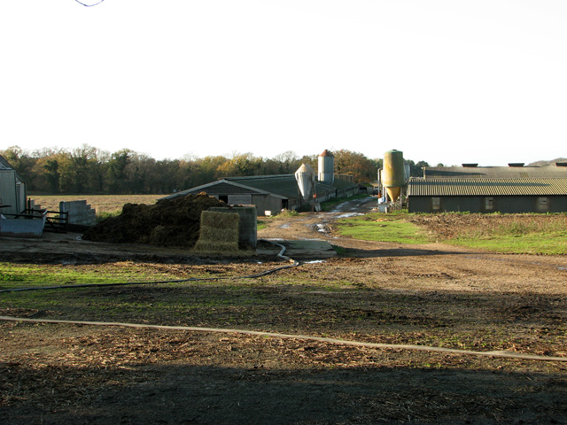
Beech Belt, located in Norfolk, England, is a prominent wood and forest area known for its breathtaking natural beauty. Spanning over a vast expanse of land, this beech-dominated woodland is a significant part of the region's landscape and heritage.
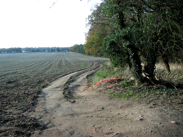
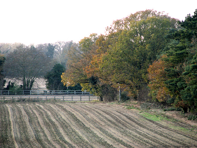
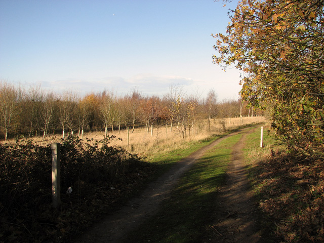
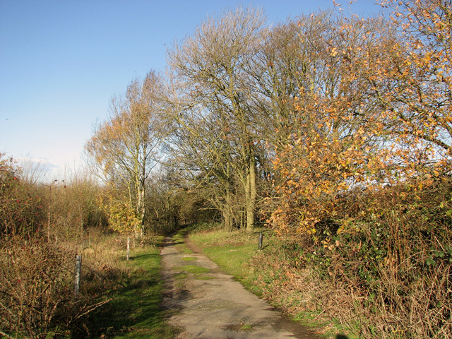
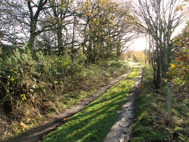
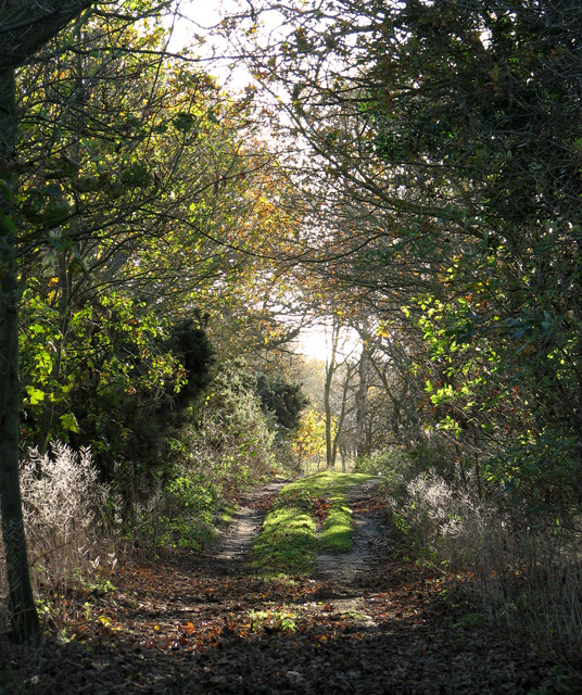
The Beech Belt is characterized by its dense and lush tree canopy, largely composed of beech trees. These towering trees, with their smooth silver-gray trunks and vibrant green leaves, create a picturesque setting that attracts nature enthusiasts, hikers, and photographers alike. The wood is particularly enchanting during the autumn season when the beech leaves transform into a stunning array of golden hues.
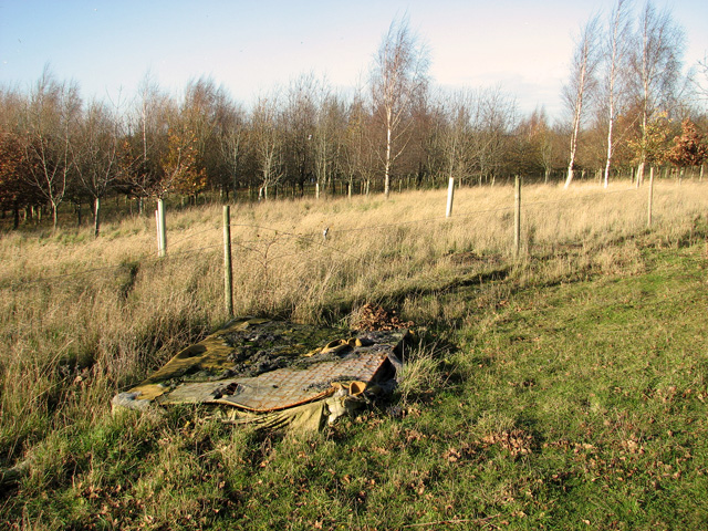
The forest is home to a diverse range of flora and fauna, making it a haven for wildlife enthusiasts. Various bird species, including woodpeckers and owls, can be spotted in the trees, while the forest floor is teeming with small mammals such as squirrels and rabbits. A network of walking trails and paths allows visitors to explore the wood, providing opportunities for peaceful walks and wildlife observation.
Beech Belt also plays a crucial role in ecological conservation. Its dense canopy provides shelter for a wide range of insects, including butterflies and beetles, contributing to the overall biodiversity of the area. The forest floor is carpeted with an assortment of plants and wildflowers, further enhancing the ecosystem's richness.
Overall, Beech Belt in Norfolk is a natural treasure, offering a serene and idyllic setting for nature lovers and outdoor enthusiasts. Its striking beauty, diverse wildlife, and ecological significance make it a must-visit destination for anyone seeking a connection with nature in this part of England.
If you have any feedback on the listing, please let us know in the comments section below.
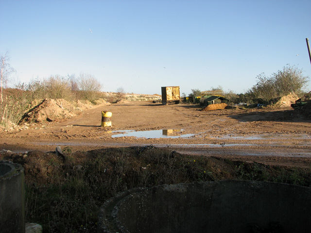
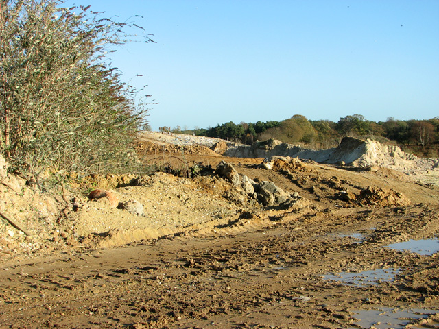
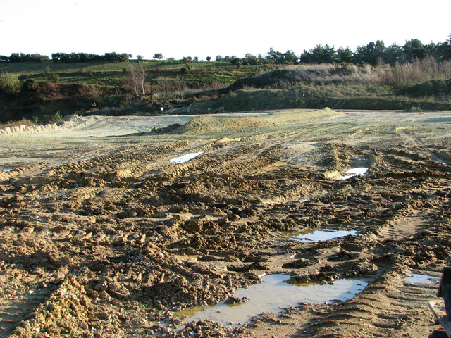
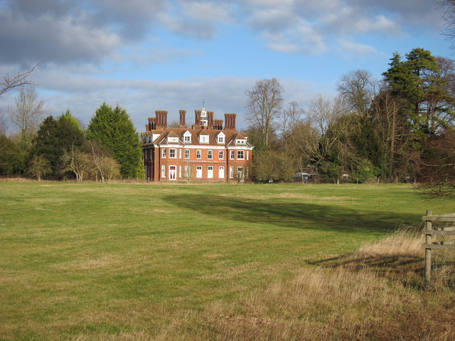
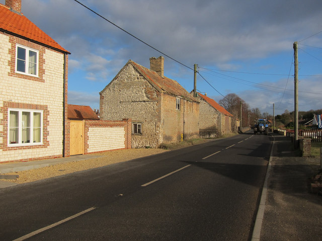
Beech Belt Images
Images are sourced within 2km of 52.500435/0.55276258 or Grid Reference TL7392. Thanks to Geograph Open Source API. All images are credited.
Beech Belt is located at Grid Ref: TL7392 (Lat: 52.500435, Lng: 0.55276258)
Administrative County: Norfolk
District: King's Lynn and West Norfolk
Police Authority: Norfolk
What 3 Words
///poets.present.exotic. Near Feltwell, Norfolk
Nearby Locations
Related Wikis

Methwold
Methwold ("Middle forest") is a village and civil parish in the English county of Norfolk, on the edge of the Norfolk Fens and Breckland. With an area...
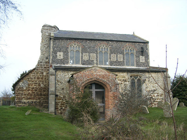
St Nicholas Church, Feltwell
St Nicholas Church is a redundant Anglican church in the village of Feltwell, Norfolk, England. It is recorded in the National Heritage List for England...
Feltwell
Feltwell is a village and civil parish in the English county of Norfolk. The village is located 11 miles (18 km) north-west of Thetford and 34 miles (55...

Iceni Academy
The Iceni Academy (formerly Hockwold and Methwold Community School) is a mixed, all-through school located over two sites in Norfolk, England. == History... ==

South West Norfolk (UK Parliament constituency)
South West Norfolk is a constituency represented in the House of Commons of the UK Parliament since 2010 by Liz Truss of the Conservative Party, who briefly...

RAF Feltwell
Royal Air Force Feltwell or more simply RAF Feltwell is a Royal Air Force station in Norfolk, East Anglia that is used by the United States Air Forces...

The Brinks, Northwold
The Brinks, Northwold or Northwold Meadows is a 16.4-hectare (41-acre) biological Site of Special Scientific Interest south of Northwold in Norfolk, England...

Hockwold cum Wilton
Hockwold cum Wilton ("Hock/mallow wood and willow-tree farm/settlement") is 10 miles west of Thetford, Norfolk, England and is in the borough of King's...
Have you been to Beech Belt?
Leave your review of Beech Belt below (or comments, questions and feedback).