Moat Wood
Wood, Forest in Essex Chelmsford
England
Moat Wood
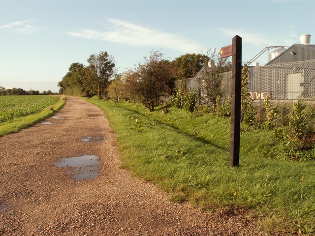
Moat Wood is a picturesque woodland located in Essex, England. Covering an area of approximately 100 acres, it is a tranquil retreat for nature enthusiasts and offers a variety of recreational activities for visitors to enjoy.
The wood is characterized by its dense canopy of mature trees, including oak, ash, and birch, which provide a natural habitat for a diverse range of flora and fauna. Bluebells carpet the forest floor in the spring, creating a breathtaking display of color and fragrance. The wood is also home to various bird species, such as woodpeckers, owls, and thrushes, making it a popular spot for birdwatching.
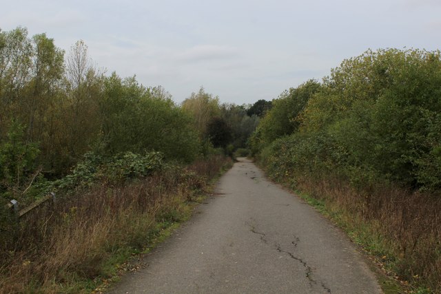
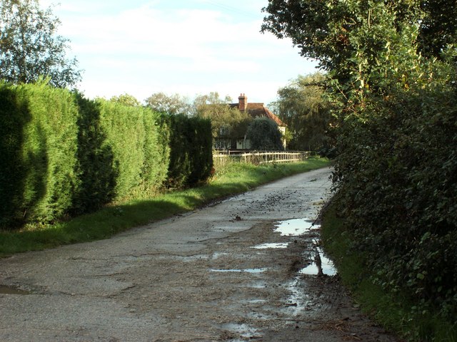
Moat Wood is crisscrossed by a network of well-maintained trails, allowing visitors to explore the area on foot or by bike. These trails provide access to the wood’s hidden treasures, including a beautiful pond that is teeming with wildlife. The pond is a haven for frogs, newts, and dragonflies, and is a great spot for children to learn about aquatic ecosystems.
Picnic areas and benches are scattered throughout the wood, providing the perfect setting for visitors to relax, unwind, and enjoy the serenity of their surroundings. The wood is also equipped with basic facilities, such as car parking and toilets, ensuring visitors have a comfortable and convenient experience.
Moat Wood truly offers a sanctuary away from the hustle and bustle of everyday life. Whether it’s a leisurely stroll, a family outing, or a birdwatching expedition, this enchanting woodland provides a delightful escape into nature for all who visit.
If you have any feedback on the listing, please let us know in the comments section below.
Moat Wood Images
Images are sourced within 2km of 51.831465/0.51470234 or Grid Reference TL7317. Thanks to Geograph Open Source API. All images are credited.


Moat Wood is located at Grid Ref: TL7317 (Lat: 51.831465, Lng: 0.51470234)
Administrative County: Essex
District: Chelmsford
Police Authority: Essex
What 3 Words
///repaying.arena.veal. Near Great Leighs, Essex
Nearby Locations
Related Wikis
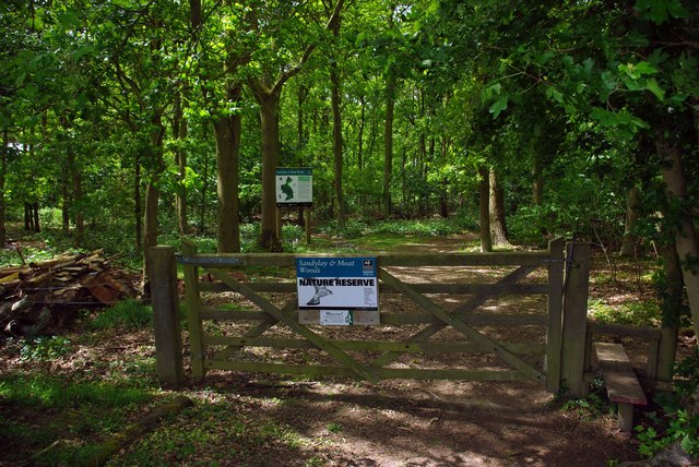
Sandylay and Moat Woods
Sandylay and Moat Woods is a 7.5-hectare (19-acre) nature reserve east of Great Leighs in Essex. It is owned and managed by the Essex Wildlife Trust.These...
Great Leighs
Great Leighs is a village and former civil parish, now in the parish of Great and Little Leighs, in the Chelmsford district of Essex, England, halfway...

Great and Little Leighs
Great and Little Leighs is a civil parish in the City of Chelmsford in Essex, England. The parish includes the villages of Great Leighs and Little Leighs...
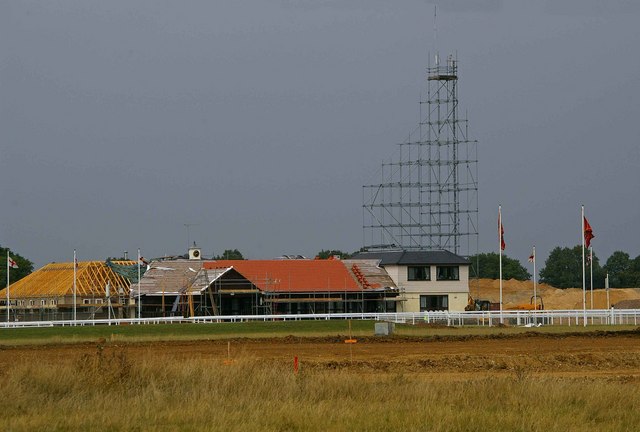
Chelmsford City Racecourse
Chelmsford City racecourse, originally known as Great Leighs Racecourse, is a thoroughbred horse racing venue located in Great Leighs near Braintree, Essex...

Phyllis Currie Nature Reserve
Phyllis Currie Nature Reserve is an 8.9-hectare (22-acre) nature reserve north-west of Great Leighs in Essex. It is owned and managed by the Essex Wildlife...
Rank's Green
Rank's Green or Ranks Green is a hamlet in the Braintree district, in the county of Essex, England. Other nearby settlements include the town of Braintree...

Little Leighs
Little Leighs is a village and former civil parish, now in the parish of Great and Little Leighs, in the Chelmsford district in the English county of Essex...

Young's End
Young's End is a hamlet in the Braintree district of Essex, England. The population of the hamlet is included in the civil parish of Black Notley. It is...
Nearby Amenities
Located within 500m of 51.831465,0.51470234Have you been to Moat Wood?
Leave your review of Moat Wood below (or comments, questions and feedback).