Vodmore Copse
Wood, Forest in Somerset Somerset West and Taunton
England
Vodmore Copse
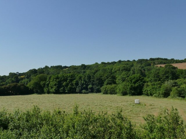
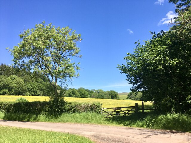
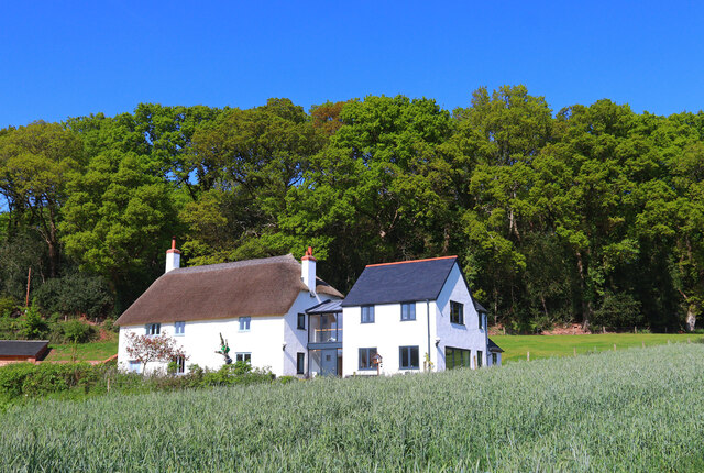
Vodmore Copse is a small wood located in the county of Somerset, England. Situated in the picturesque countryside, the copse is known for its natural beauty and tranquil atmosphere. Spanning an area of approximately 10 acres, it is a popular destination for nature enthusiasts, photographers, and those seeking a peaceful escape from the hustle and bustle of everyday life.
The copse is predominantly made up of deciduous trees, including oak, ash, and beech, which create a dense canopy and provide shade during the summer months. The forest floor is covered in a thick layer of leaf litter, providing a habitat for a variety of woodland plants and small creatures. In spring, the copse comes alive with a vibrant display of bluebells, creating a stunning carpet of color.
Several footpaths meander through the copse, allowing visitors to explore the woodland at their own pace. These paths are well-maintained and clearly marked, ensuring easy navigation. The copse is also home to a diverse range of wildlife, including birds, butterflies, and squirrels, which can often be spotted darting between the trees.
Vodmore Copse is also notable for its historical significance. It has been an important wood for centuries, providing timber for local industries and serving as a source of fuel for the surrounding communities. Today, it is protected as a designated nature reserve, ensuring the preservation of its unique ecosystem.
Overall, Vodmore Copse is a charming woodland that offers a serene and enchanting experience for visitors. Whether it's a leisurely stroll, a picnic, or wildlife spotting, this hidden gem in Somerset is a nature lover's haven.
If you have any feedback on the listing, please let us know in the comments section below.
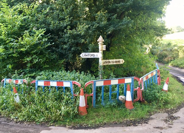
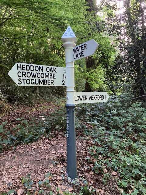
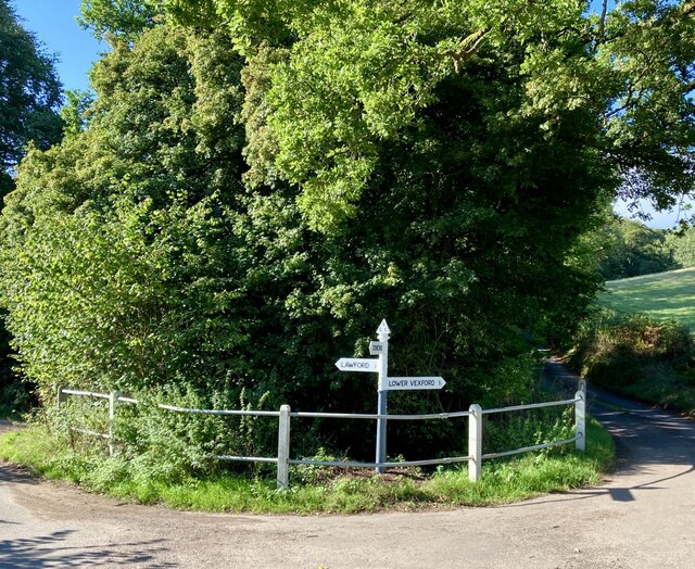
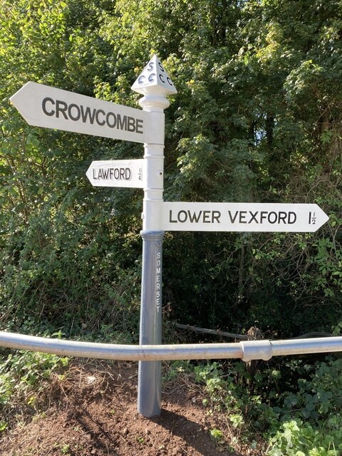
Vodmore Copse Images
Images are sourced within 2km of 51.127583/-3.2538893 or Grid Reference ST1237. Thanks to Geograph Open Source API. All images are credited.

Vodmore Copse is located at Grid Ref: ST1237 (Lat: 51.127583, Lng: -3.2538893)
Administrative County: Somerset
District: Somerset West and Taunton
Police Authority: Avon and Somerset
What 3 Words
///twinkled.parkland.haggle. Near Williton, Somerset
Nearby Locations
Related Wikis

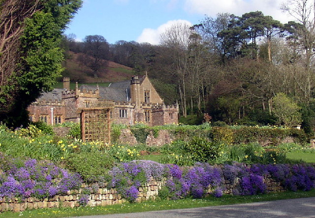
Halsway Manor
Halsway Manor (also known as Halsway Court) is a manor house in Halsway, Somerset. It is owned by the Halsway Manor Society who operate the manor as a...

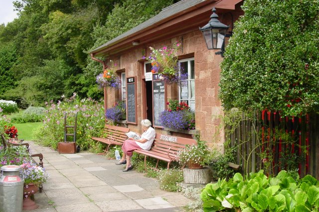
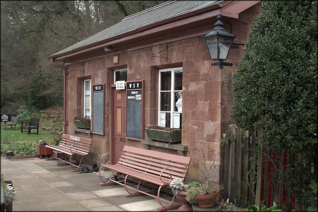
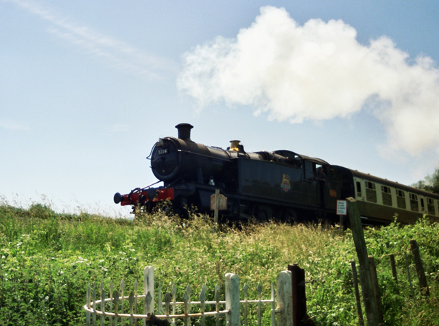
Stogumber railway station
Stogumber railway station is a station in Kingswood, Somerset, England which serves the nearby village of Stogumber. It was opened by the West Somerset...

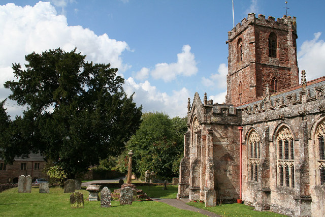
Crowcombe Court
Crowcombe Court in Crowcombe, Somerset, England is a large country house dating from 1724 to 1739. It is Grade I listed.It was built, in English regional...
Crowcombe
Crowcombe is a village and civil parish under the Quantock Hills in Somerset, England, 5.5 miles (9 km) southeast of Watchet, and 8 miles (13 km) from...

Roebuck Meadows
Roebuck Meadows (grid reference ST132354) is a 3.6 hectare (8.9 acre) biological Site of Special Scientific Interest south of Crowcombe in Somerset, notified...
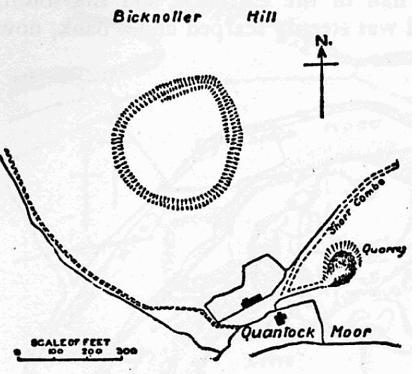
Trendle Ring
Trendle Ring (or Trundle Ring) is a late prehistoric earthwork on the Quantock Hills near Bicknoller in Somerset, England. It is a Scheduled Monument....

Quantock Hills
The Quantock Hills west of Bridgwater in Somerset, England, consist of heathland, oak woodlands, ancient parklands and agricultural land. They were England...

Curdon Camp
Curdon Camp is a univallate Iron Age hill fort in the West Somerset district of Somerset, England. It is a Scheduled Ancient Monument.The hill fort is...
Have you been to Vodmore Copse?
Leave your review of Vodmore Copse below (or comments, questions and feedback).