Lower Halsway
Settlement in Somerset Somerset West and Taunton
England
Lower Halsway
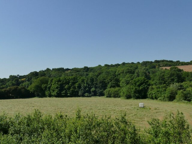
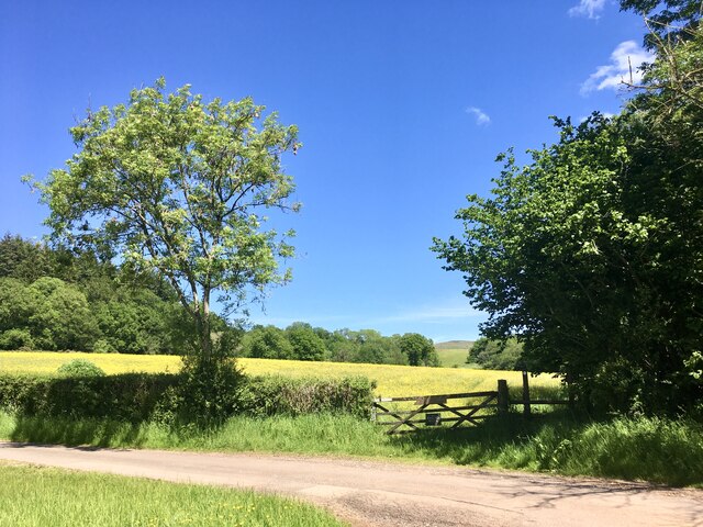
Lower Halsway is a small village located in the county of Somerset, England. Situated in the picturesque Quantock Hills, it is surrounded by rolling green hills, lush meadows, and dense woodlands. The village is part of the larger civil parish of Halsway, which also includes the neighboring village of Higher Halsway.
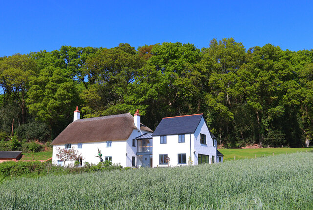
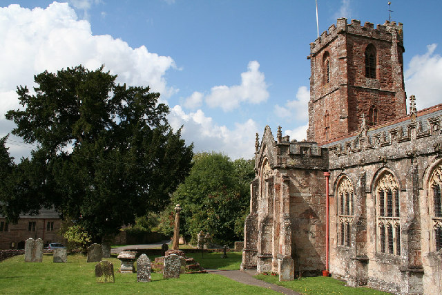
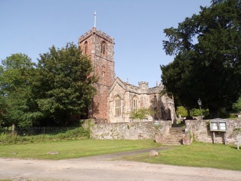
Lower Halsway is a quintessentially English village, known for its charming thatched cottages and traditional stone houses. The village is centered around a village green, where locals gather for community events and festivities. The green is bordered by a beautiful 13th-century church, St. Mary's, which is an architectural gem and a place of worship for the villagers.
The village is well-connected to the nearby towns of Taunton and Bridgwater, making it an attractive place to live for those who enjoy a peaceful countryside lifestyle while still having access to urban amenities. It also benefits from being close to the coast, with the popular seaside resort of Minehead just a short drive away.
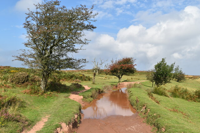
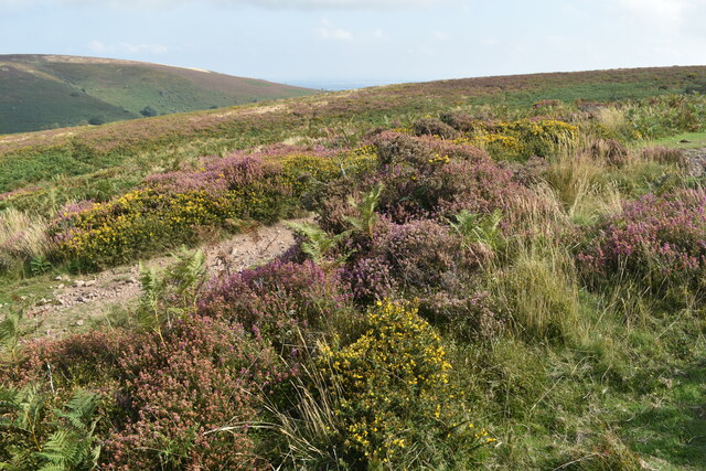
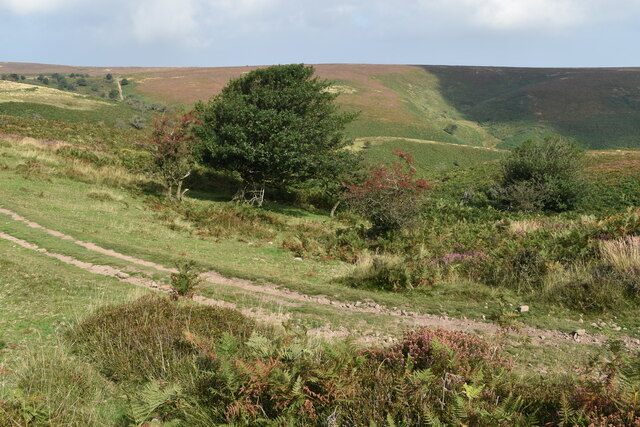
The surrounding countryside offers ample opportunities for outdoor activities such as hiking, cycling, and horseback riding. The Quantock Hills, designated as an Area of Outstanding Natural Beauty, provide breathtaking vistas and diverse wildlife for nature enthusiasts to explore.
Lower Halsway is a close-knit community, with a strong sense of community spirit. The villagers actively participate in various clubs and societies, organizing events and gatherings throughout the year. The village also has a small primary school, ensuring that families have access to quality education for their children.
Overall, Lower Halsway offers a tranquil and idyllic setting for those seeking a rural retreat in the heart of Somerset's stunning landscape.
If you have any feedback on the listing, please let us know in the comments section below.
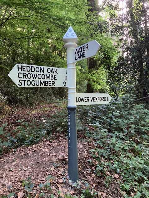
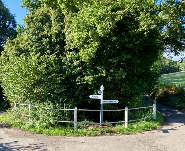
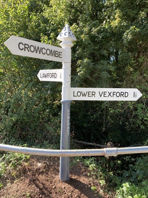
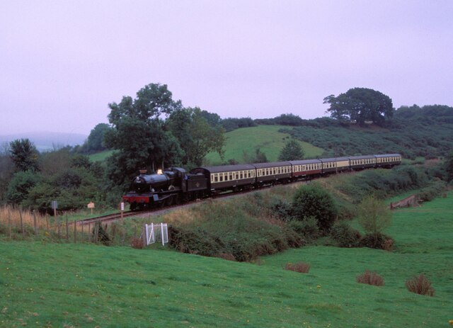
Lower Halsway Images
Images are sourced within 2km of 51.133421/-3.2452718 or Grid Reference ST1237. Thanks to Geograph Open Source API. All images are credited.

Lower Halsway is located at Grid Ref: ST1237 (Lat: 51.133421, Lng: -3.2452718)
Administrative County: Somerset
District: Somerset West and Taunton
Police Authority: Avon and Somerset
What 3 Words
///deleting.consoled.pricing. Near Williton, Somerset
Nearby Locations
Related Wikis

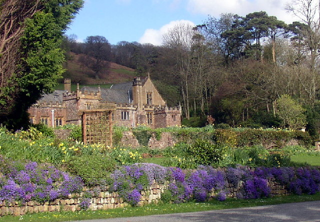
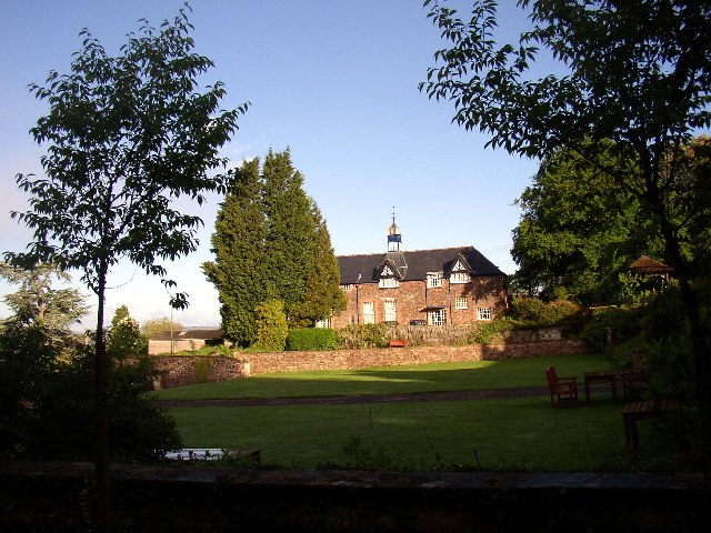
Halsway Manor
Halsway Manor (also known as Halsway Court) is a manor house in Halsway, Somerset. It is owned by the Halsway Manor Society who operate the manor as a...

Crowcombe Court
Crowcombe Court in Crowcombe, Somerset, England is a large country house dating from 1724 to 1739. It is Grade I listed.It was built, in English regional...

Quantock Hills
The Quantock Hills west of Bridgwater in Somerset, England, consist of heathland, oak woodlands, ancient parklands and agricultural land. They were England...
Crowcombe
Crowcombe is a village and civil parish under the Quantock Hills in Somerset, England, 5.5 miles (9 km) southeast of Watchet, and 8 miles (13 km) from...

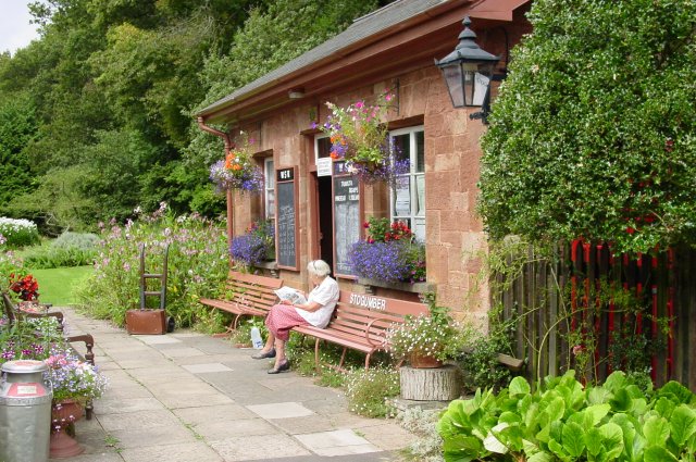
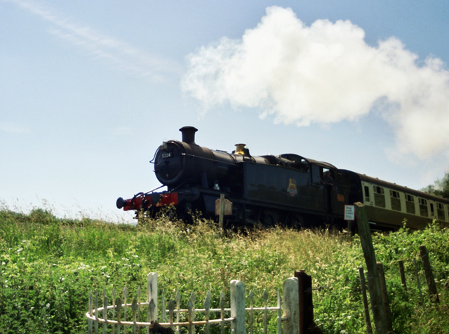
Stogumber railway station
Stogumber railway station is a station in Kingswood, Somerset, England which serves the nearby village of Stogumber. It was opened by the West Somerset...
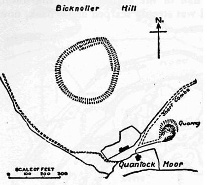
Trendle Ring
Trendle Ring (or Trundle Ring) is a late prehistoric earthwork on the Quantock Hills near Bicknoller in Somerset, England. It is a Scheduled Monument....

Roebuck Meadows
Roebuck Meadows (grid reference ST132354) is a 3.6 hectare (8.9 acre) biological Site of Special Scientific Interest south of Crowcombe in Somerset, notified...

Bicknoller
Bicknoller is a village and civil parish on the western slopes of the Quantock Hills in the English county of Somerset. Administratively, the civil parish...
Related Videos

A Quantock Hills Visit For Peace & Reflection,Part I, 'Arrival At Crowcombe Village'
An Autumnal hike to my beautiful Quantock Hills, AONB starting from the lovely village of Crowcombe nestled at the foot of the hills ...
West Bagborough Walk To Crowcombe Across the Quantock Hills, Part VII, A Short Walk Thru the Village
After reaching the bottom of Crowcombe Hill I take a very short walk thru the village to catch my bus--only had to wait 5 mins so it ...

Crowcombe Court Wedding Video Teaser #shorts #wedding
You are my best friend and every second we spend together is precious” It's always very special when a bride & groom are ...

West Bagborough Walk to Crowcombe Across the Quantock Hills, Part V, 'Further Along The Drove Road'
On this beautiful hot Summer's day the hills are quiet--I only meet 5 people the whole of the walk here in the Drove and 2 were on ...
Nearby Amenities
Located within 500m of 51.133421,-3.2452718Have you been to Lower Halsway?
Leave your review of Lower Halsway below (or comments, questions and feedback).