Halsway
Settlement in Somerset Somerset West and Taunton
England
Halsway
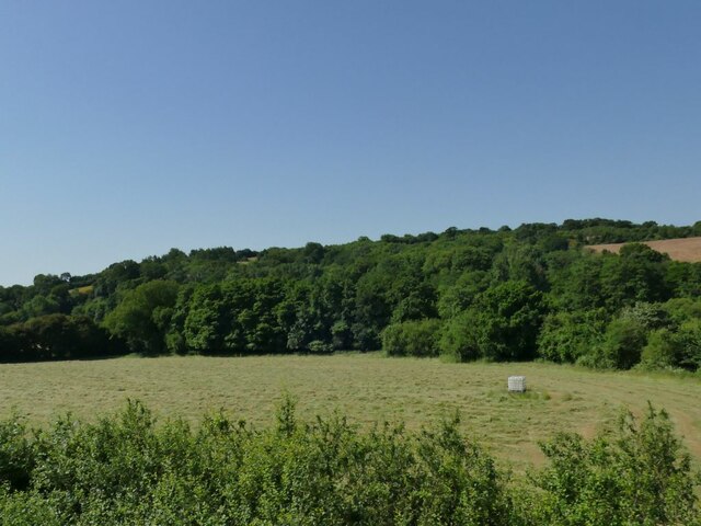
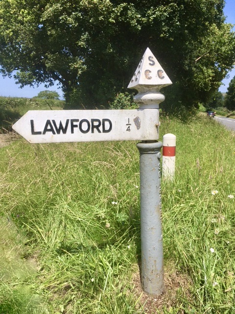
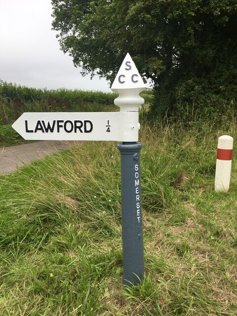
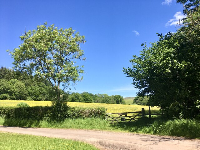
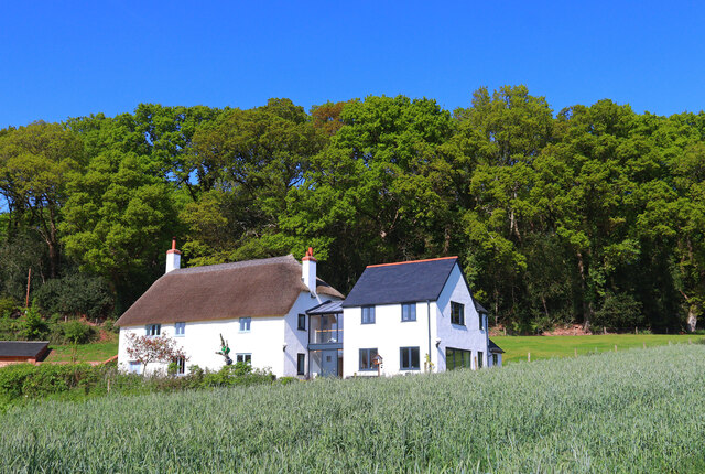
Halsway is a small village located in the county of Somerset, England. Situated in the picturesque Quantock Hills, it is surrounded by stunning natural beauty and offers a tranquil and idyllic setting. The village is part of the civil parish of Crowcombe, and it falls within the administrative district of Somerset West and Taunton.
Halsway is known for its rich history and heritage, with evidence of human habitation in the area dating back to the Bronze Age. The village is home to several historic buildings and landmarks, including a 12th-century church dedicated to St. Mary, which stands as a testament to its medieval origins.
In addition to its historical significance, Halsway is renowned for its vibrant folk music and dance scene. The Halsway Manor, a magnificent Grade II listed manor house located in the village, serves as a national center for folk arts. It hosts various workshops, courses, and events throughout the year, attracting musicians and enthusiasts from around the country.
The picturesque countryside surrounding Halsway offers ample opportunities for outdoor activities and exploration. The Quantock Hills, designated as an Area of Outstanding Natural Beauty, provide numerous walking and hiking trails, allowing visitors to discover breathtaking landscapes and enjoy panoramic views.
Despite its small size, Halsway boasts a strong sense of community and offers a peaceful and welcoming atmosphere for both residents and visitors. With its rich history, cultural heritage, and natural beauty, Halsway is a hidden gem within the beautiful county of Somerset.
If you have any feedback on the listing, please let us know in the comments section below.
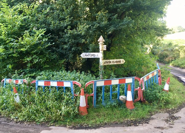
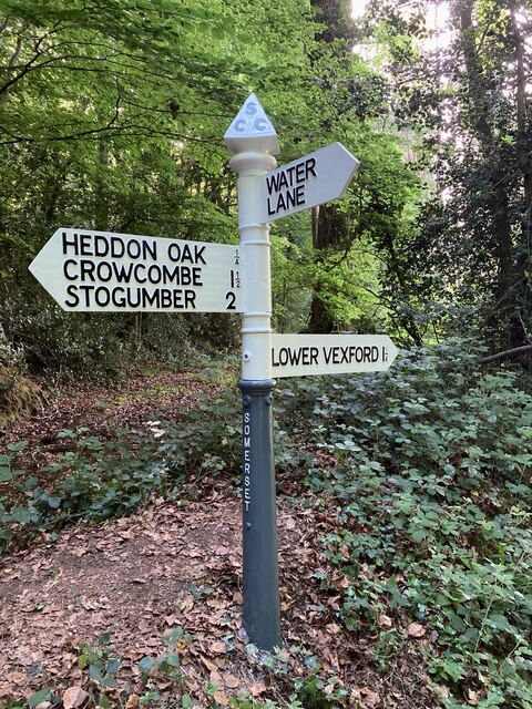
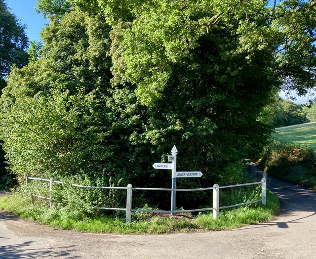
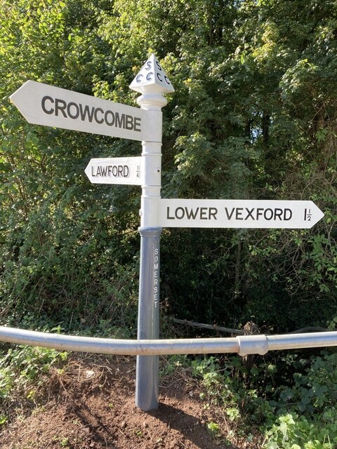
Halsway Images
Images are sourced within 2km of 51.125497/-3.2588629 or Grid Reference ST1237. Thanks to Geograph Open Source API. All images are credited.

Halsway is located at Grid Ref: ST1237 (Lat: 51.125497, Lng: -3.2588629)
Administrative County: Somerset
District: Somerset West and Taunton
Police Authority: Avon and Somerset
What 3 Words
///move.producing.spicy. Near Williton, Somerset
Nearby Locations
Related Wikis

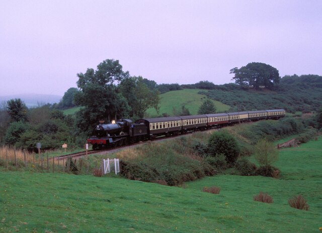
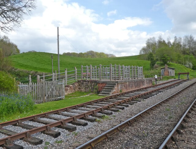
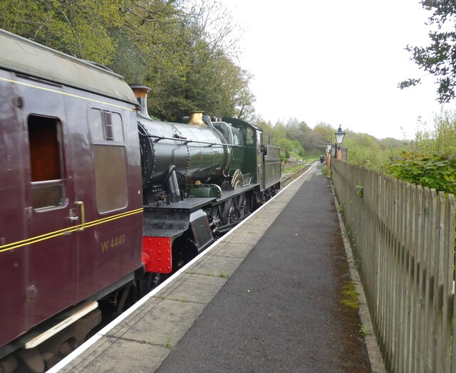
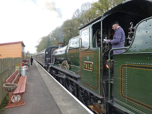
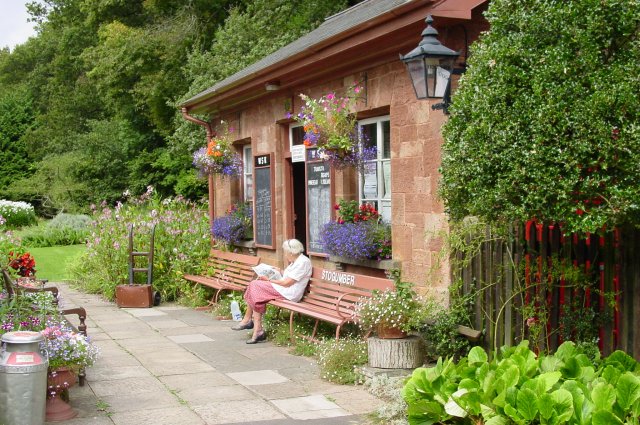
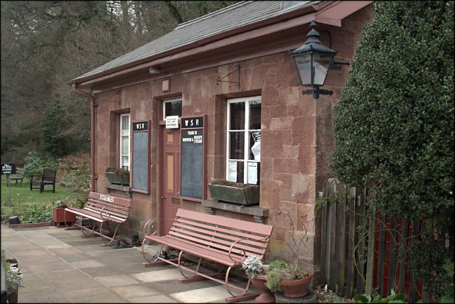
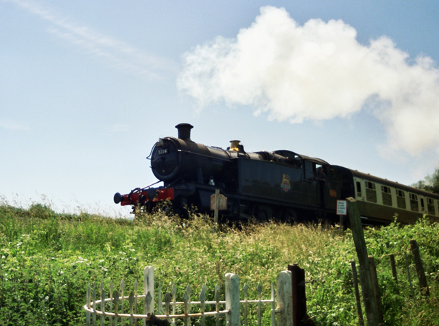
Stogumber railway station
Stogumber railway station is a station in Kingswood, Somerset, England which serves the nearby village of Stogumber. It was opened by the West Somerset...

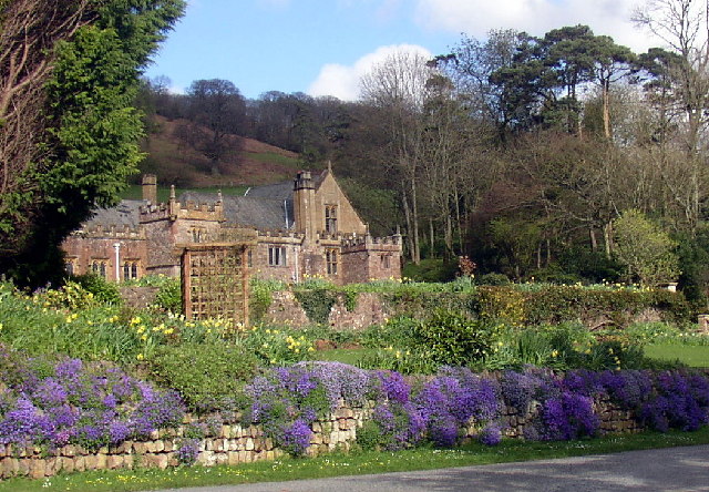
Halsway Manor
Halsway Manor (also known as Halsway Court) is a manor house in Halsway, Somerset. It is owned by the Halsway Manor Society who operate the manor as a...

Crowcombe Court
Crowcombe Court in Crowcombe, Somerset, England is a large country house dating from 1724 to 1739. It is Grade I listed.It was built, in English regional...

Roebuck Meadows
Roebuck Meadows (grid reference ST132354) is a 3.6 hectare (8.9 acre) biological Site of Special Scientific Interest south of Crowcombe in Somerset, notified...

Crowcombe
Crowcombe is a village and civil parish under the Quantock Hills in Somerset, England, 5.5 miles (9 km) southeast of Watchet, and 8 miles (13 km) from...
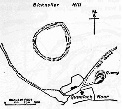
Trendle Ring
Trendle Ring (or Trundle Ring) is a late prehistoric earthwork on the Quantock Hills near Bicknoller in Somerset, England. It is a Scheduled Monument....

Curdon Camp
Curdon Camp is a univallate Iron Age hill fort in the West Somerset district of Somerset, England. It is a Scheduled Ancient Monument.The hill fort is...

Stogumber
Stogumber () is a village and civil parish in Somerset, England, on the eastern flank of the Brendon Hills. Besides Stogumber village itself, the parish...
Nearby Amenities
Located within 500m of 51.125497,-3.2588629Have you been to Halsway?
Leave your review of Halsway below (or comments, questions and feedback).