Alder Grove
Wood, Forest in Somerset Somerset West and Taunton
England
Alder Grove
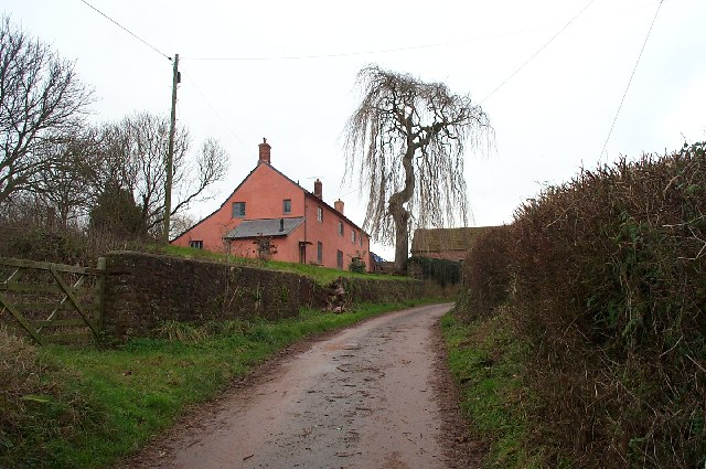
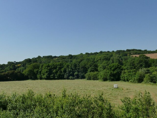
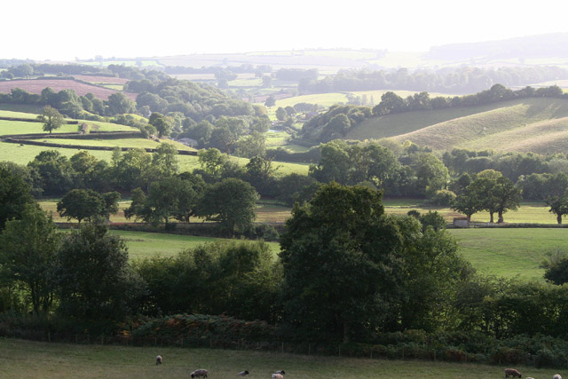
Alder Grove, Somerset is a picturesque woodland area located in the southwest region of England. Covering a vast area of approximately 500 acres, it is home to a diverse range of flora and fauna, making it a popular destination for nature enthusiasts and hikers alike.
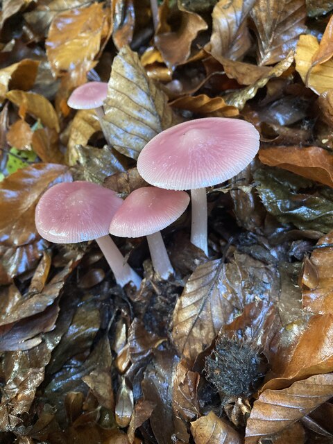
The dominant tree species in Alder Grove is the alder, which gives the woodland its name. These trees thrive in the wet and marshy conditions present in the area, creating a unique ecosystem that supports a rich biodiversity. Other tree species found in the grove include oak, beech, and ash.
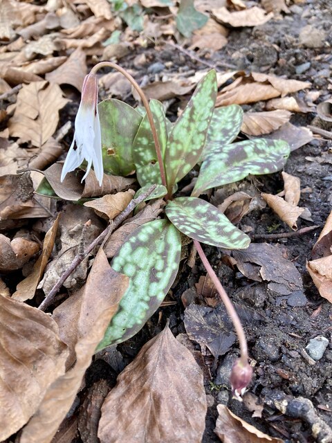
The forest floor of Alder Grove is carpeted with a variety of wildflowers, including bluebells, primroses, and foxgloves, which bloom in vibrant colors during the spring and summer months. This creates a stunning visual display and attracts numerous insects, butterflies, and bees.
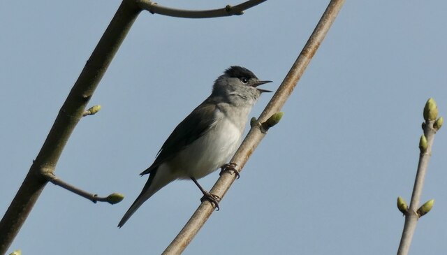
The woodland is also home to a wide range of wildlife. Deer, badgers, and foxes can often be spotted roaming through the trees, while the presence of numerous bird species, such as woodpeckers, owls, and robins, make it a haven for birdwatchers.
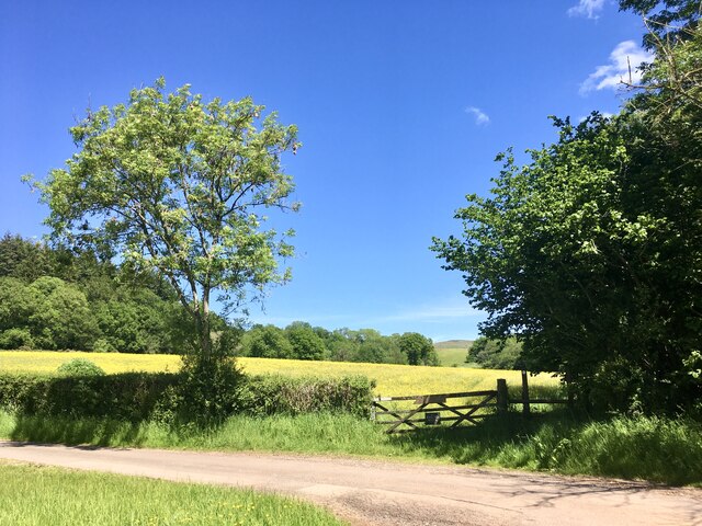
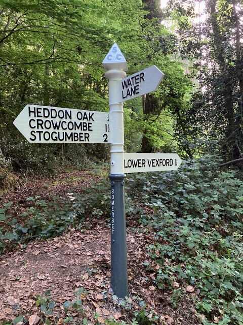
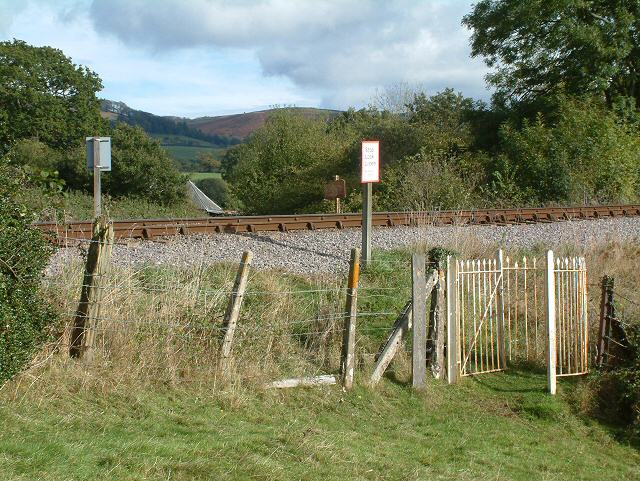
For visitors looking to explore Alder Grove, there are several well-maintained walking trails and footpaths, allowing them to fully immerse themselves in the natural beauty of the area. The tranquil atmosphere, coupled with the soothing sound of rustling leaves and chirping birds, offers a perfect escape from the hustle and bustle of city life.
Overall, Alder Grove, Somerset is a captivating woodland that showcases the beauty of nature in Somerset. Its diverse plant and animal life, coupled with its peaceful ambiance, make it a must-visit destination for anyone seeking a tranquil and enriching outdoor experience.
If you have any feedback on the listing, please let us know in the comments section below.
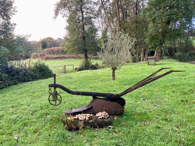
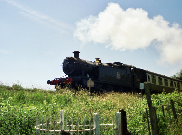
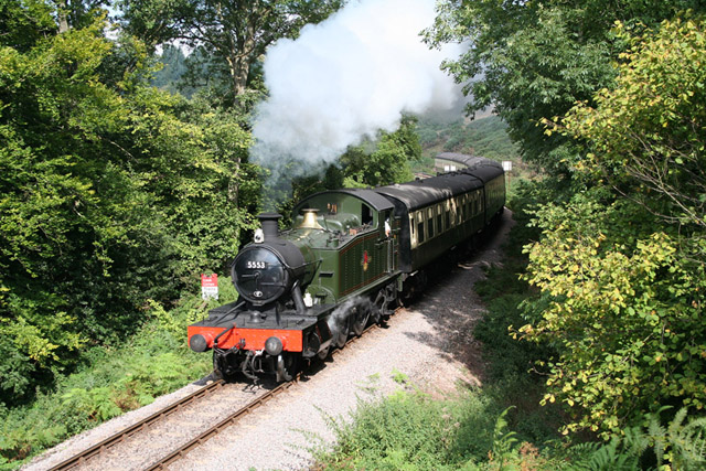
Alder Grove Images
Images are sourced within 2km of 51.109068/-3.262159 or Grid Reference ST1135. Thanks to Geograph Open Source API. All images are credited.
Alder Grove is located at Grid Ref: ST1135 (Lat: 51.109068, Lng: -3.262159)
Administrative County: Somerset
District: Somerset West and Taunton
Police Authority: Avon and Somerset
What 3 Words
///financial.trailing.explores. Near Williton, Somerset
Nearby Locations
Related Wikis

Roebuck Meadows
Roebuck Meadows (grid reference ST132354) is a 3.6 hectare (8.9 acre) biological Site of Special Scientific Interest south of Crowcombe in Somerset, notified...

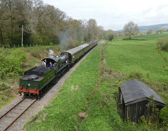
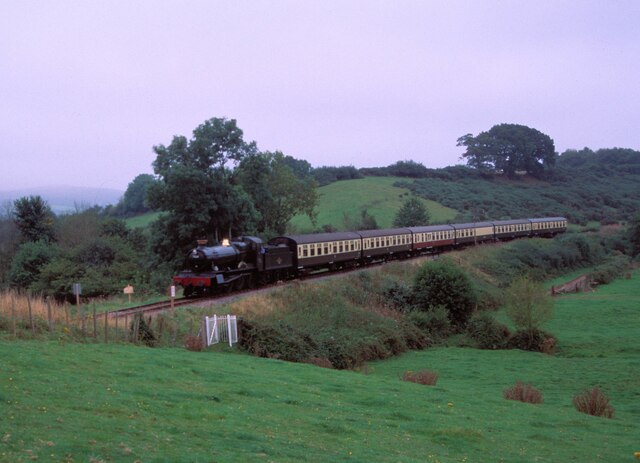
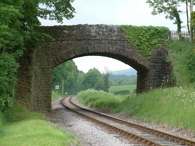
Stogumber railway station
Stogumber railway station is a station in Kingswood, Somerset, England which serves the nearby village of Stogumber. It was opened by the West Somerset...

Crowcombe Heathfield railway station
Crowcombe Heathfield railway station is a station on the West Somerset Railway, a heritage railway in Somerset, England. It is situated 2 miles (3.2 km...

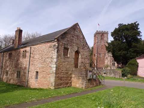
Lydeard St Lawrence
Lydeard St Lawrence or St Lawrence Lydiard is a village and civil parish in Somerset, England, situated 7 miles (11.3 km) north west of Taunton. The village...

Crowcombe Court
Crowcombe Court in Crowcombe, Somerset, England is a large country house dating from 1724 to 1739. It is Grade I listed.It was built, in English regional...

Halsway Manor
Halsway Manor (also known as Halsway Court) is a manor house in Halsway, Somerset. It is owned by the Halsway Manor Society who operate the manor as a...

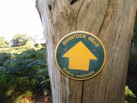
Crowcombe
Crowcombe is a village and civil parish under the Quantock Hills in Somerset, England, 5.5 miles (9 km) southeast of Watchet, and 8 miles (13 km) from...

Tolland, Somerset
Tolland is a village and civil parish in Somerset, England, situated 9 miles (14.5 km) north west of Taunton, between the Brendon Hills and Quantock Hills...
Related Videos
West Bagborough to Crowcombe Hike Part VI Arrival At Crowcombe Holy Ghost by Sheila, April 24th 2024
I manage to have a brief wander around the churchyard of the Holy Ghost but the inside of the church was busy with cleaners and ...

Crowcombe Court Wedding Video Teaser #shorts #wedding
You are my best friend and every second we spend together is precious” It's always very special when a bride & groom are ...
The Crowcombe, Holford & Bicknoller Horseshoe Wander, Part I, 'The Ascent From Crowcombe Village'.
Another Quantock Hills adventure exploring another way up to the hills --this time from the beautiful Somerset village of ...

West Bagborough Walk To Crowcombe Across the Quantock Hills, Part VII, A Short Walk Thru the Village
After reaching the bottom of Crowcombe Hill I take a very short walk thru the village to catch my bus--only had to wait 5 mins so it ...
Nearby Amenities
Located within 500m of 51.109068,-3.262159Have you been to Alder Grove?
Leave your review of Alder Grove below (or comments, questions and feedback).