Lower Vexford
Settlement in Somerset Somerset West and Taunton
England
Lower Vexford

Lower Vexford is a small village located in the county of Somerset, England. Situated in the South West region of the country, it lies approximately 10 miles south of the town of Bath. The village is nestled amidst picturesque countryside, characterized by rolling hills, verdant farmlands, and charming rural landscapes.
Lower Vexford is known for its tranquil ambiance and idyllic setting, making it an attractive destination for those seeking a peaceful retreat from the bustling city life. The village is predominantly residential, with a small population of close-knit community members. The architecture of the houses reflects a mix of traditional stone cottages and more modern structures.
Although relatively small, Lower Vexford offers a range of amenities to its residents. The village boasts a local pub, providing a social hub for locals and visitors alike to relax and enjoy a pint. Additionally, there is a small convenience store catering to the daily needs of the community.
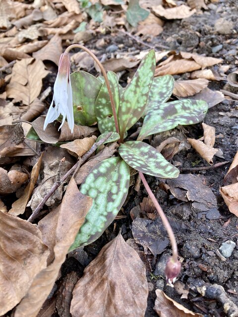
Surrounded by natural beauty, Lower Vexford offers ample opportunities for outdoor activities and exploration. The village is situated near several walking and cycling trails, allowing residents to immerse themselves in the stunning countryside. Further afield, the nearby Mendip Hills Area of Outstanding Natural Beauty offers breathtaking vistas and opportunities for hiking, caving, and rock climbing.
Overall, Lower Vexford is a charming village that offers a peaceful and picturesque lifestyle in the heart of Somerset's countryside.
If you have any feedback on the listing, please let us know in the comments section below.
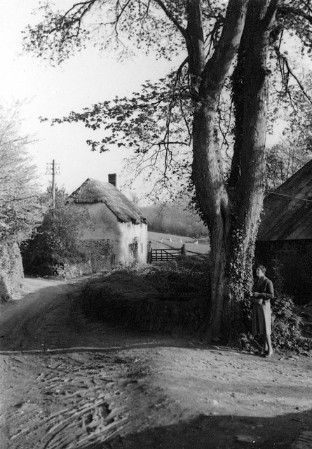
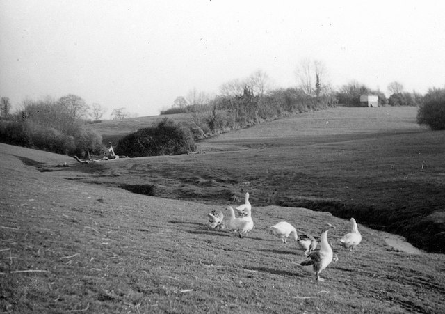
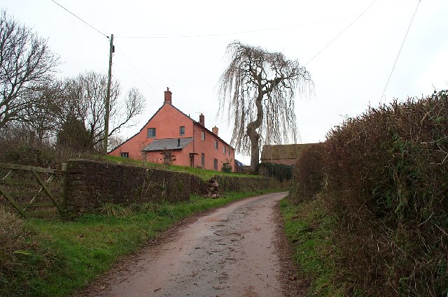
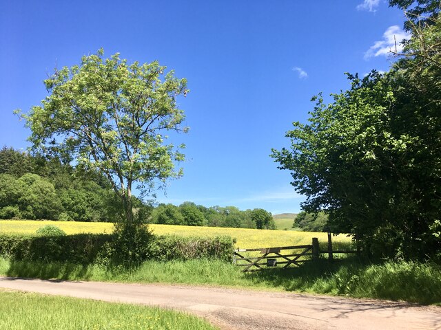
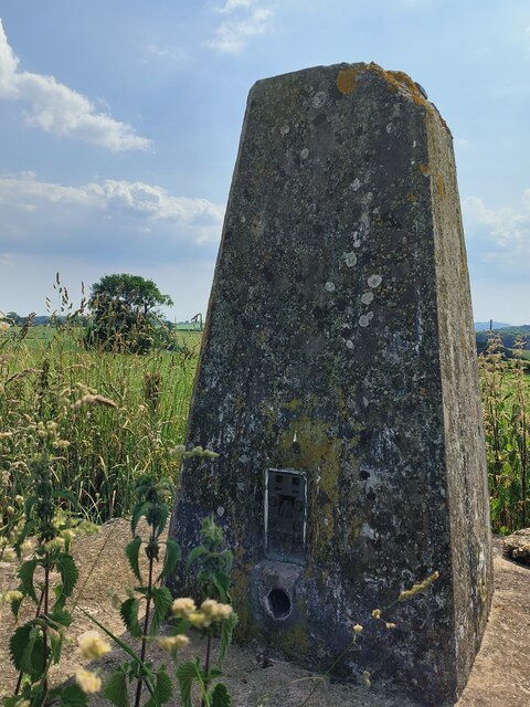
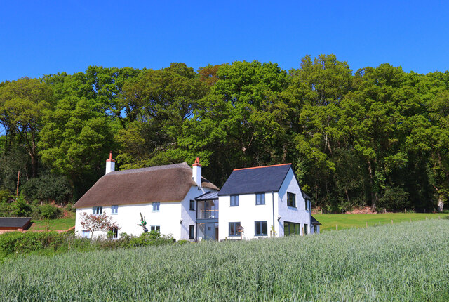
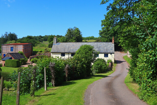
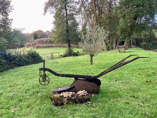
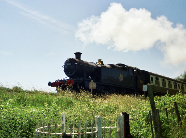
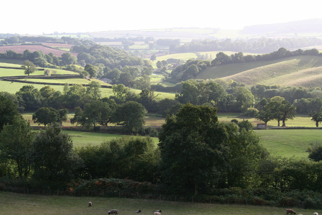
Lower Vexford Images
Images are sourced within 2km of 51.109625/-3.266334 or Grid Reference ST1135. Thanks to Geograph Open Source API. All images are credited.


Lower Vexford is located at Grid Ref: ST1135 (Lat: 51.109625, Lng: -3.266334)
Administrative County: Somerset
District: Somerset West and Taunton
Police Authority: Avon and Somerset
What 3 Words
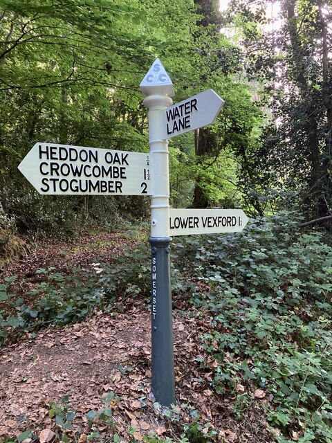
///agreeable.chaos.surnames. Near Williton, Somerset
Nearby Locations
Related Wikis

Roebuck Meadows
Roebuck Meadows (grid reference ST132354) is a 3.6 hectare (8.9 acre) biological Site of Special Scientific Interest south of Crowcombe in Somerset, notified...

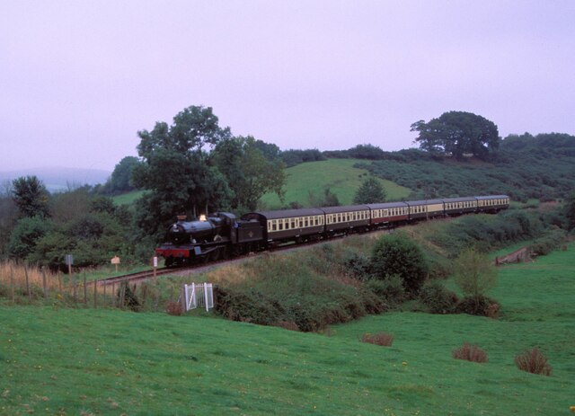
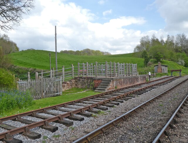
Stogumber railway station
Stogumber railway station is a station in Kingswood, Somerset, England which serves the nearby village of Stogumber. It was opened by the West Somerset...

Crowcombe Heathfield railway station
Crowcombe Heathfield railway station is a station on the West Somerset Railway, a heritage railway in Somerset, England. It is situated 2 miles (3.2 km...

Tolland, Somerset
Tolland is a village and civil parish in Somerset, England, situated 9 miles (14.5 km) north west of Taunton, between the Brendon Hills and Quantock Hills...

Lydeard St Lawrence
Lydeard St Lawrence or St Lawrence Lydiard is a village and civil parish in Somerset, England, situated 7 miles (11.3 km) north west of Taunton. The village...

Halsway Manor
Halsway Manor (also known as Halsway Court) is a manor house in Halsway, Somerset. It is owned by the Halsway Manor Society who operate the manor as a...

Stogumber
Stogumber () is a village and civil parish in Somerset, England, on the eastern flank of the Brendon Hills. Besides Stogumber village itself, the parish...

Crowcombe Court
Crowcombe Court in Crowcombe, Somerset, England is a large country house dating from 1724 to 1739. It is Grade I listed.It was built, in English regional...
Nearby Amenities
Located within 500m of 51.109625,-3.266334Have you been to Lower Vexford?
Leave your review of Lower Vexford below (or comments, questions and feedback).