Wellingtonmoss Plantation

Wood, Forest in Cumberland Allerdale

England

Wellingtonmoss Plantation

Hotchberry Road, near Cockermouth Hotchberry Road is a minor road leading out of the village of Brigham into Cumbrian countryside.  This image was taken shortly before dusk on a late November day.  The trees were bare, having shed their leaves as the winter months approached.
Hotchberry Road, near Cockermouth Credit: Malc McDonald

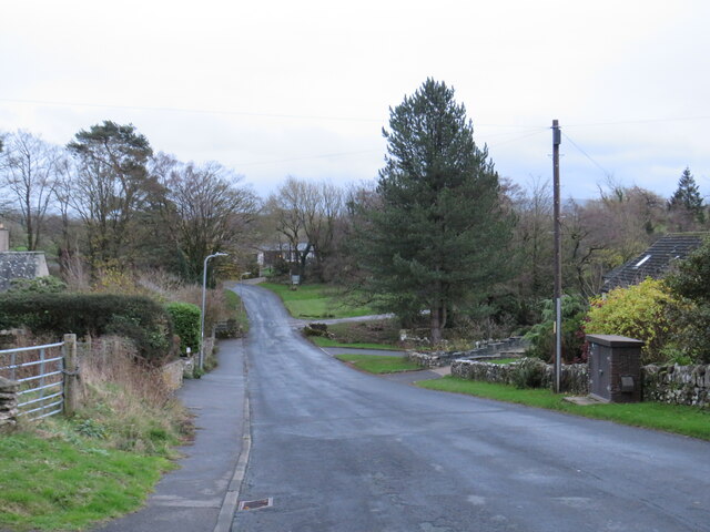
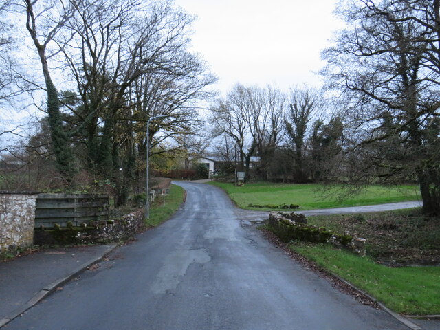
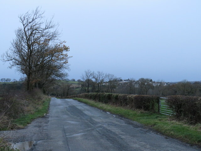
Wellingtonmoss Plantation is a sprawling estate located in Cumberland, a county known for its dense woodlands and lush forests. The plantation is nestled in the heart of this natural paradise, surrounded by towering trees and abundant wildlife.

Covering a vast area, Wellingtonmoss Plantation boasts a diverse range of flora and fauna. The woodlands are home to a variety of tree species, including oak, maple, and pine, providing a picturesque landscape throughout the year. The forest floor is adorned with a carpet of vibrant mosses, adding a touch of enchantment to the surroundings.

The plantation is a haven for wildlife enthusiasts, offering a habitat for numerous animal species. Deer, foxes, and rabbits can often be spotted roaming freely within the forest, while birds such as owls, woodpeckers, and songbirds grace the treetops with their melodious tunes.

Wellingtonmoss Plantation also holds historical significance. It has been owned by the Wellington family for generations, with the current generation dedicated to preserving its natural beauty. The plantation offers guided tours, allowing visitors to explore its trails and learn about the history and ecology of the area.

For those seeking a tranquil escape from the bustling city life, Wellingtonmoss Plantation serves as an idyllic retreat. Its peaceful ambiance, combined with the breathtaking beauty of the woodlands and forest, creates a serene and rejuvenating experience for all who venture into its embrace.

If you have any feedback on the listing, please let us know in the comments section below.

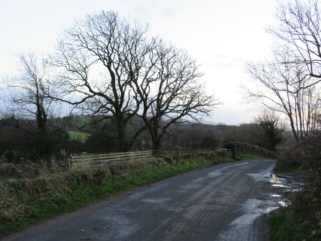
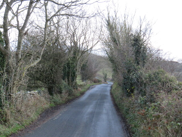
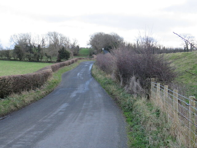
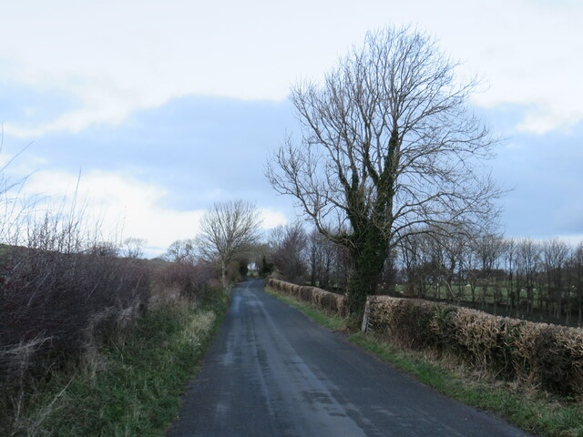
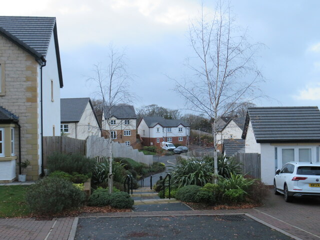
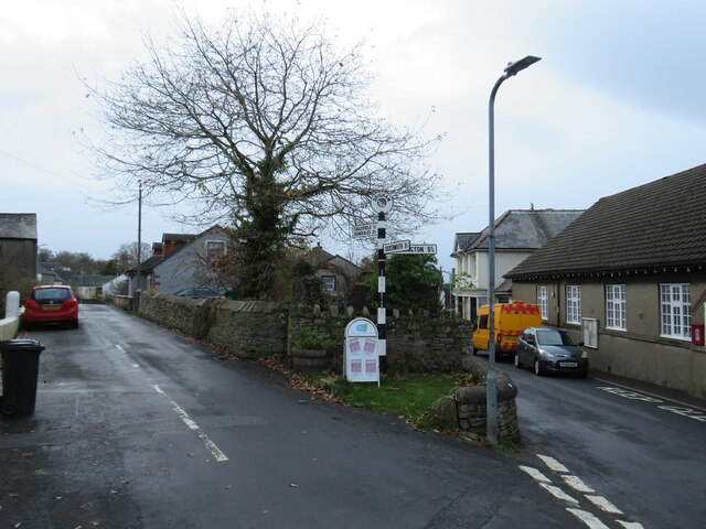
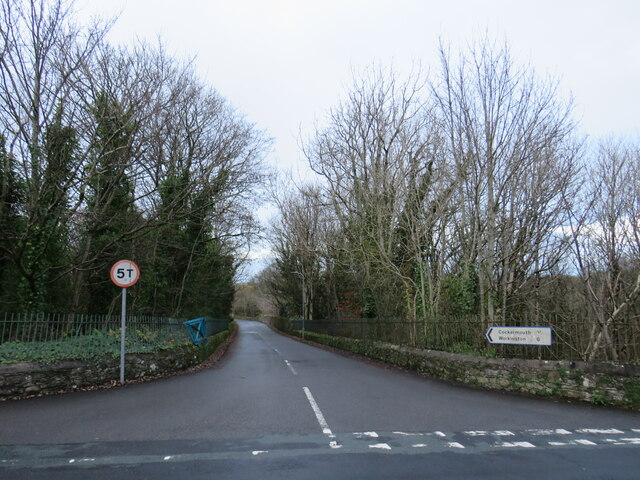
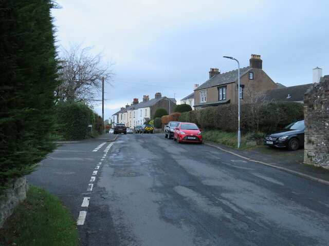
Wellingtonmoss Plantation Images

Images are sourced within 2km of 54.649828/-3.3919406 or Grid Reference NY1029. Thanks to Geograph Open Source API. All images are credited.

Hotchberry Road, near Cockermouth Hotchberry Road is a minor road leading out of the village of Brigham into Cumbrian countryside.  This image was taken shortly before dusk on a late November day.  The trees were bare, having shed their leaves as the winter months approached.
Hotchberry Road, near Cockermouth
Hotchberry Road is a minor road leading out of the village of Brigham into Cumbrian countryside. This image was taken shortly before dusk on a late November day. The trees were bare, having shed their leaves as the winter months approached.
Hotchberry Road, near Cockermouth Hotchberry Road is a minor road through Cumbrian countryside, heading south from the village of Brigham.
Hotchberry Road, near Cockermouth
Hotchberry Road is a minor road through Cumbrian countryside, heading south from the village of Brigham.
Hotchberry Road, near Cockermouth Hotchberry Road is a minor lane through Cumbrian countryside.
Hotchberry Road, near Cockermouth
Hotchberry Road is a minor lane through Cumbrian countryside.
Hotchberry Road, near Cockermouth Hotchberry Road is a minor lane through Cumbrian countryside.  This image was taken on a late November day.  The trees had shed their leaves over the preceding weeks, in preparation for the winter months ahead.
Hotchberry Road, near Cockermouth
Hotchberry Road is a minor lane through Cumbrian countryside. This image was taken on a late November day. The trees had shed their leaves over the preceding weeks, in preparation for the winter months ahead.
Hotchberry Road, near Cockermouth Hotchberry Road is a minor lane through Cumbrian countryside.  This image was taken in late November.  The trees had shed their leaves over the preceding weeks in preparation for the winter months ahead.
Hotchberry Road, near Cockermouth
Hotchberry Road is a minor lane through Cumbrian countryside. This image was taken in late November. The trees had shed their leaves over the preceding weeks in preparation for the winter months ahead.
Ellerbeck Brow, Brigham, near Cockermouth Ellerbeck Brow is a minor road entering the village of Brigham in Cumbria.
Ellerbeck Brow, Brigham, near Cockermouth
Ellerbeck Brow is a minor road entering the village of Brigham in Cumbria.
Brigham Road, near Cockermouth Brigham Road is a minor road leading to the village of Brigham, in Cumbria.  Here, the speed limit changes to 30 miles per hour through the village ahead.
Brigham Road, near Cockermouth
Brigham Road is a minor road leading to the village of Brigham, in Cumbria. Here, the speed limit changes to 30 miles per hour through the village ahead.
Direction Sign – Signpost in Eaglesfield Located on the south side of the T junction in Eaglesfield, Dean parish. 2 arms and annulus finial. See also <span class="nowrap"><a title="http://www.geog.port.ac.uk/webmap/thelakes/photos/bwa65.jpg" rel="nofollow ugc noopener" href="http://www.geog.port.ac.uk/webmap/thelakes/photos/bwa65.jpg">Link</a><img style="margin-left:2px;" alt="External link" title="External link - shift click to open in new window" src="https://s1.geograph.org.uk/img/external.png" width="10" height="10"/></span>.

Milestone Society National ID: CU_NY0928
Direction Sign – Signpost in Eaglesfield
Located on the south side of the T junction in Eaglesfield, Dean parish. 2 arms and annulus finial. See also LinkExternal link. Milestone Society National ID: CU_NY0928
Hotchberry Road, Brigham, near Cockermouth Hotchberry Road leading into the village of Brigham in Cumbria.  A development of new houses stands to the left of the road
Hotchberry Road, Brigham, near Cockermouth
Hotchberry Road leading into the village of Brigham in Cumbria. A development of new houses stands to the left of the road
New housing in Brigham, near Cockermouth A new housing development in the village of Brigham in Cumbria.
New housing in Brigham, near Cockermouth
A new housing development in the village of Brigham in Cumbria.
Brigham, near Cockermouth A road junction in the village of Brigham, in Cumbria.  A traditional direction signpost stands at the junction.
Brigham, near Cockermouth
A road junction in the village of Brigham, in Cumbria. A traditional direction signpost stands at the junction.
Stan Lonning, Brigham, near Cockermouth Stan Lonning is a minor road leading out of the village of Brigham, in Cumbria.
Stan Lonning, Brigham, near Cockermouth
Stan Lonning is a minor road leading out of the village of Brigham, in Cumbria.
Brigham, near Cockermouth The village of Brigham lies approximately two miles west of Cockermouth, in Cumbria.
Brigham, near Cockermouth
The village of Brigham lies approximately two miles west of Cockermouth, in Cumbria.
Ellerbeck Brow, Brigham, near Cockermouth Ellerbeck Brow is a minor road leading out of the village of Brigham, in Cumbria.
Ellerbeck Brow, Brigham, near Cockermouth
Ellerbeck Brow is a minor road leading out of the village of Brigham, in Cumbria.
Ellerbeck Brow, Brigham, near Cockermouth Ellerbeck Brow is a minor road leading out of the village of Brigham in Cumbria.  Here the road crosses Eller Beck, a small stream.
Ellerbeck Brow, Brigham, near Cockermouth
Ellerbeck Brow is a minor road leading out of the village of Brigham in Cumbria. Here the road crosses Eller Beck, a small stream.
Brigham Road, near Cockermouth Brigham Road is a minor road in Cumbria.  It leads to the village of Brigham, visible on the hillside in the distance.
Brigham Road, near Cockermouth
Brigham Road is a minor road in Cumbria. It leads to the village of Brigham, visible on the hillside in the distance.
Direction Sign – Signpost in High Brigham Located at the east end of an island in the centre of the road opposite the Memorial Hall in High Brigham. Brigham parish. 3 arms and annulus finial. See also <span class="nowrap"><a title="http://www.geog.port.ac.uk/webmap/thelakes/photos/bwa51.jpg" rel="nofollow ugc noopener" href="http://www.geog.port.ac.uk/webmap/thelakes/photos/bwa51.jpg">Link</a><img style="margin-left:2px;" alt="External link" title="External link - shift click to open in new window" src="https://s1.geograph.org.uk/img/external.png" width="10" height="10"/></span> and <a title="https://www.geograph.org.uk/photo/733345" href="https://www.geograph.org.uk/photo/733345">Link</a>.

Milestone Society National ID: CU_NY0830
Direction Sign – Signpost in High Brigham
Located at the east end of an island in the centre of the road opposite the Memorial Hall in High Brigham. Brigham parish. 3 arms and annulus finial. See also LinkExternal link and Link. Milestone Society National ID: CU_NY0830
Black Cock Inn (former) "John Holmes" picture of 2005 showed this pub as a welcoming place serving ales & good grub, but now it is quite the opposite. The only things thriving here are the brambles growing over the door & windows.
Black Cock Inn (former)
"John Holmes" picture of 2005 showed this pub as a welcoming place serving ales & good grub, but now it is quite the opposite. The only things thriving here are the brambles growing over the door & windows.
Show me another place!

Wellingtonmoss Plantation is located at Grid Ref: NY1029 (Lat: 54.649828, Lng: -3.3919406)

Administrative County: Cumbria

District: Allerdale

Police Authority: Cumbria

What 3 Words

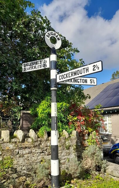
///airship.craftsman.whirlpool. Near Cockermouth, Cumbria

Related Wikis

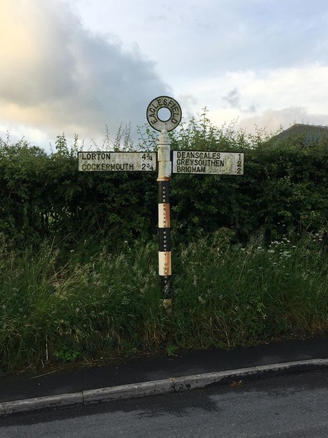
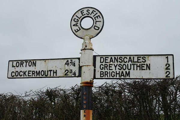
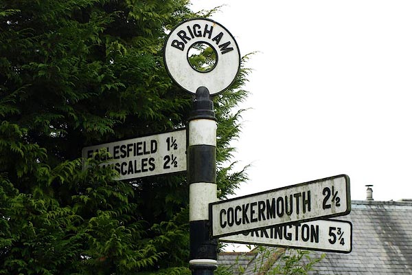
Eaglesfield, Cumbria

Eaglesfield is a village in the parish of Dean in Cumberland in Cumbria, England. It is near the A5086 road, 2.5 miles (4 km) southwest of Cockermouth...

Allerdale

Allerdale was a non-metropolitan district of Cumbria, England, with borough status. Its council was based in Workington and the borough has a population...
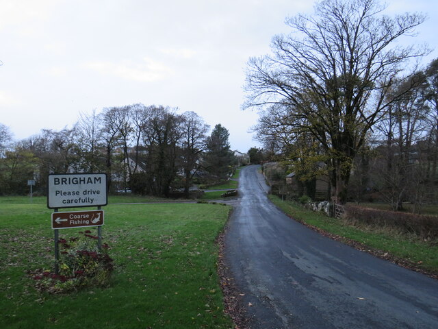
Brigham, Cumbria

Brigham is a village in Cumbria, England. The village is near to the town of Cockermouth and is located just outside the Lake District National Park....

Cockermouth railway station (Cockermouth and Workington Railway)

The original Cockermouth railway station was the eastern terminus of the Cockermouth & Workington Railway. It served the town of Cockermouth, Cumbria,...

Cockermouth railway station

Cockermouth railway station was situated on the Cockermouth, Keswick and Penrith Railway and served the town of Cockermouth, Cumbria, England. The station...

Wordsworth House

Wordsworth House is a Georgian townhouse situated in Cockermouth, Cumbria, England, and in the ownership of the National Trust. It was built in the mid...

Cockermouth Rural District

Cockermouth was a rural district in Cumberland, England, from 1894 to 1974. It was created by the Local Government Act 1894 based on Cockermouth rural...

Cockermouth United Reformed Church

Cockermouth United Reformed Church is a congregation first established at Cockermouth, England, in 1651. Originally known as Cockermouth Independent Church...

Nearby Amenities

Located within 500m of 54.649828,-3.3919406
Dubbs Moss
Place: locality
Lat/Long: 54.6476235/-3.3921372
Wellington Plantation
Place: locality
Lat/Long: 54.6512886/-3.3901423
The data included in this document is from www.openstreetmap.org. The data is made available under ODbL.

Have you been to Wellingtonmoss Plantation?

Leave your review of Wellingtonmoss Plantation below (or comments, questions and feedback).